Walking the Beach
When is the best time to go walking on the beach?
During the morning or afternoon, you should continue your walk to the stone bridge over the Weirs channel, from where you can observe the beach, the boat traffic below and the beautiful mountains in the distance.
The Ossippee mountains from the beach.

VIEWS TO THE NORTH FROM THE WEIRS CHANNEL BRIDGE
Below are views of the Weirs Channel. Click here for many more north-looking views of the Weirs Channel from the 1950s-1960s.


VIEWS TO THE SOUTH FROM THE WEIRS CHANNEL BRIDGE
A contemporary view of the Weirs Channel looking south. Photo taken on June 21, 2023. For an interesting modern-day aerial shot of the Weirs Channel, showing a traffic jam of boats, click here.

Historical postcards of the Weirs Channel looking south. In the first postcard, the Belle of the Isles is steaming away towards “Lake Paugus”. The second postcard is an earlier view of the Channel, towards “Long Bay”. Paugus Bay was first called “Long Bay”, then “Lake Paugus”, before it evolved to its current nomenclature.


The Stone Weirs Channel Bridge
Below is a photo of the current stone bridge (built in 1932) over the Weirs channel, as viewed from Endicott Rock Park. From the pedestrian sidewalk that crosses the bridge on its north-facing side, there are fine views of Weirs Bay, and the best viewing angle from Weirs Beach of 6 of the 9 peaks of the Sandwich mountain range – Sandwich Dome, Mt. Tripyramid, Mt. Whiteface, Mt. Passaconaway, Mt. Paugus, and Mt. Chocorua (from l to r). For an absolutely spectacular panoramic view of the Weirs Bay, annotated with the names of all the individual peaks, click here. (Panorama courtesy of DCR)

In the 1933 postcard below, the U.S. mailboat Marshall Foch passes underneath the Aquedoctan Stone Bridge, built at a cost of about $80,000. Endicott Rock park was expanded in 1938 by partially filling in the Weirs Channel up to the Endicott Rock monument, at which time the 1901 steel footbridge to the monument was removed.

On each side of the bridge, there are two designated viewing areas that extend a couple feet further out than the rest of the bridge. The viewing areas are quite small, only about 4′ wide. The two viewing areas on the south-facing side of the bridge are right next to the busy Route 3 roadway, so they are rarely used. The following plaque is next to one of the two viewing areas off the sidewalk on the north-facing side of the bridge. It reads, “Below in the Channel, site of Indian fish weirs. To the right, site of Aquedoctan Indian village – 1652. To the left, site of log blockhouse built by the first white men.” The sign was erected by the Mary Butler chapter of the D.A.R. The sign had it backwards. According to historical evidence, when facing north, the village would have been on the left bank of the channel, and the blockhouse on the right bank.

There are currently four bridges in existence in Weirs Beach. First is the Aquedoctan Stone bridge over the Weirs Channel, described above. Second is the Route 3 bridge over the railroad tracks, only a few feet away from the Aquedoctan bridge. Third is the wooden Centenary Avenue bridge. These first three bridges all carry road traffic. The fourth bridge is the Winnipesaukee Marketplace footbridge. Click on the links for more info about these other bridges in Weirs Beach.
Before the Aquedoctan Stone bridge, there were wooden bridges, an iron bridge, and a steel bridge that spanned the Weirs Channel. For a history of these older Weirs Channel bridges, click on the link.
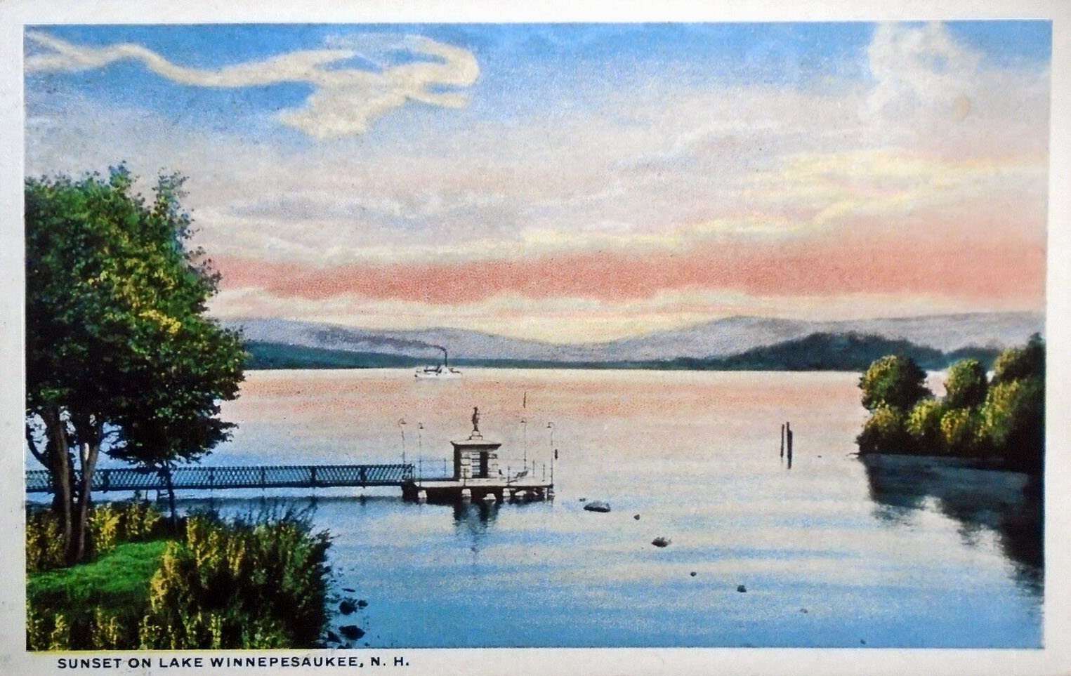
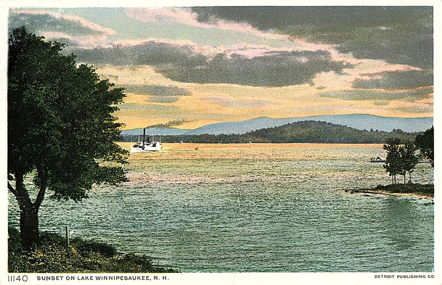
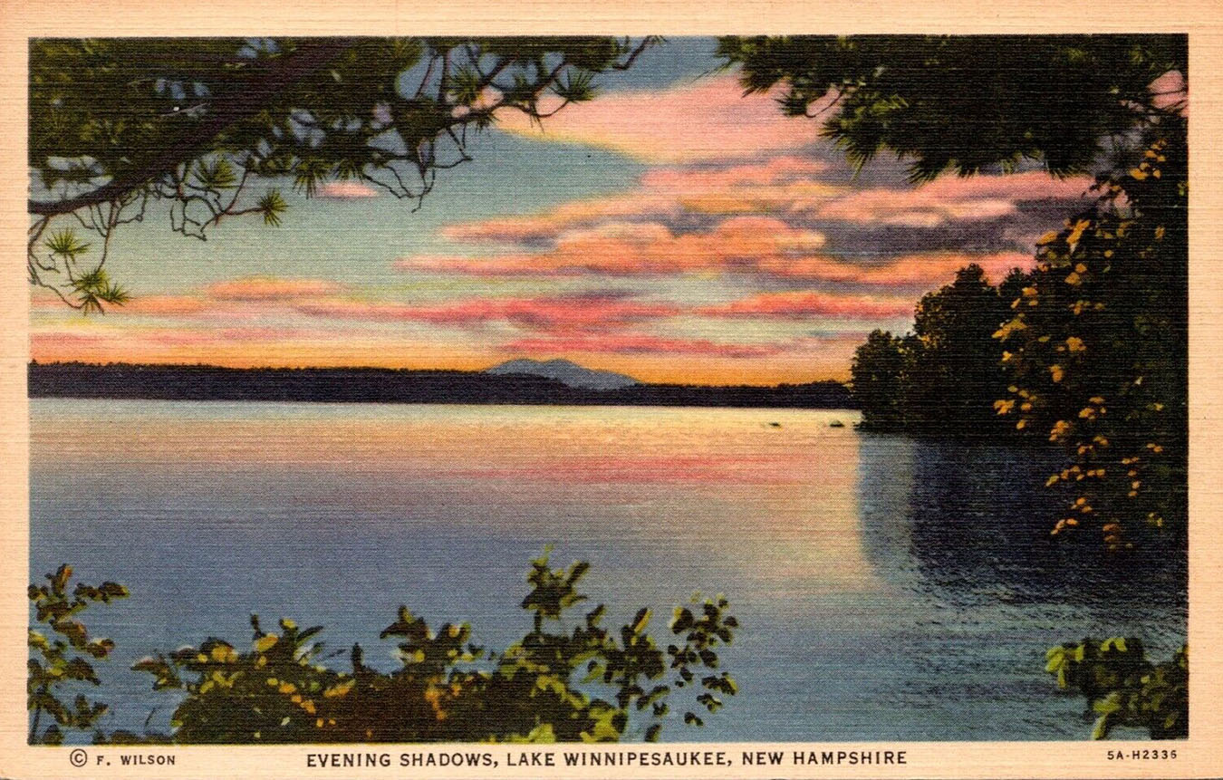
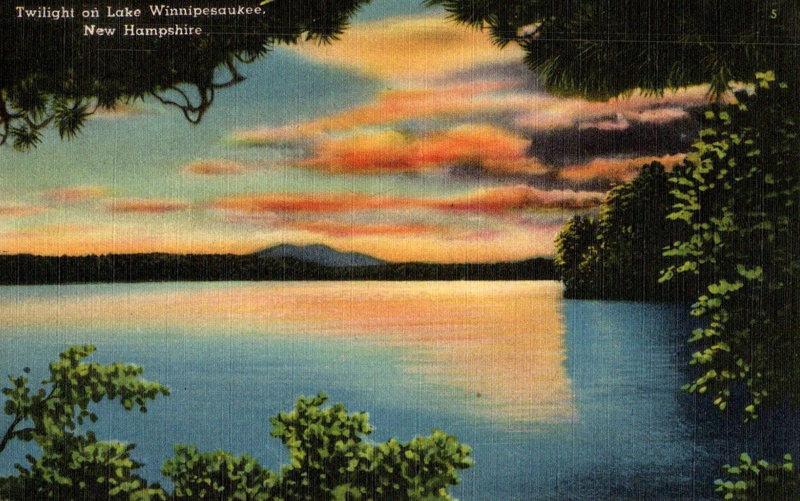
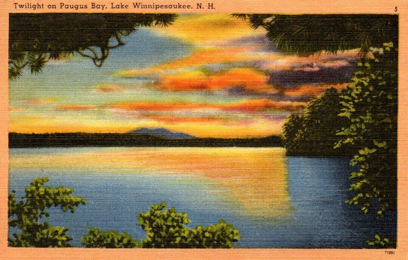
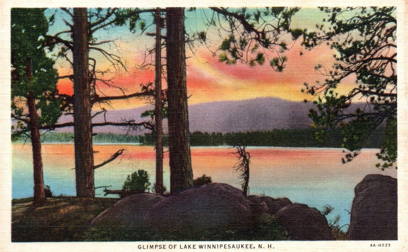
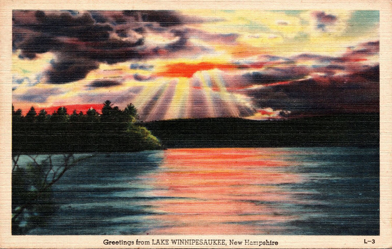
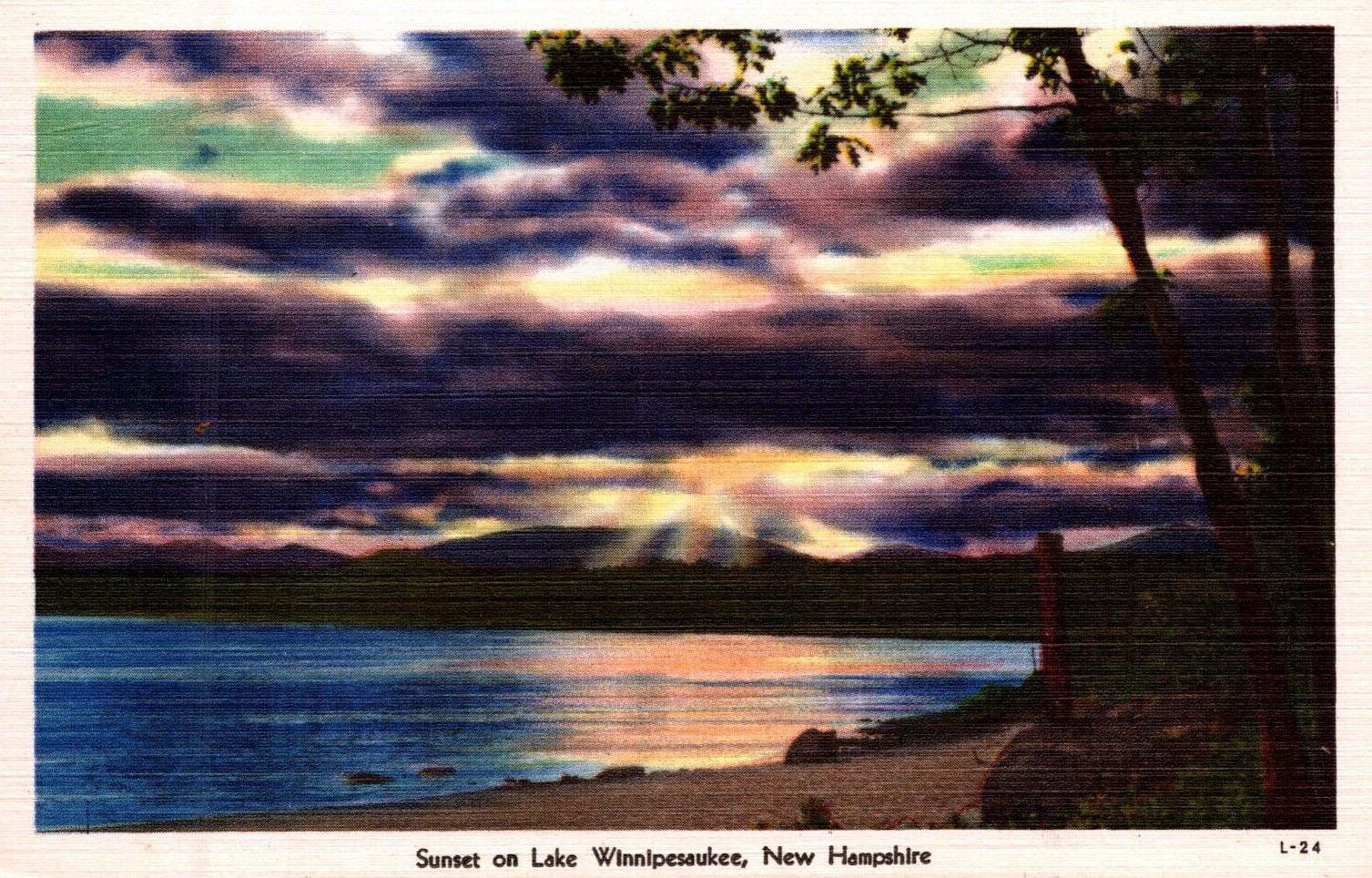
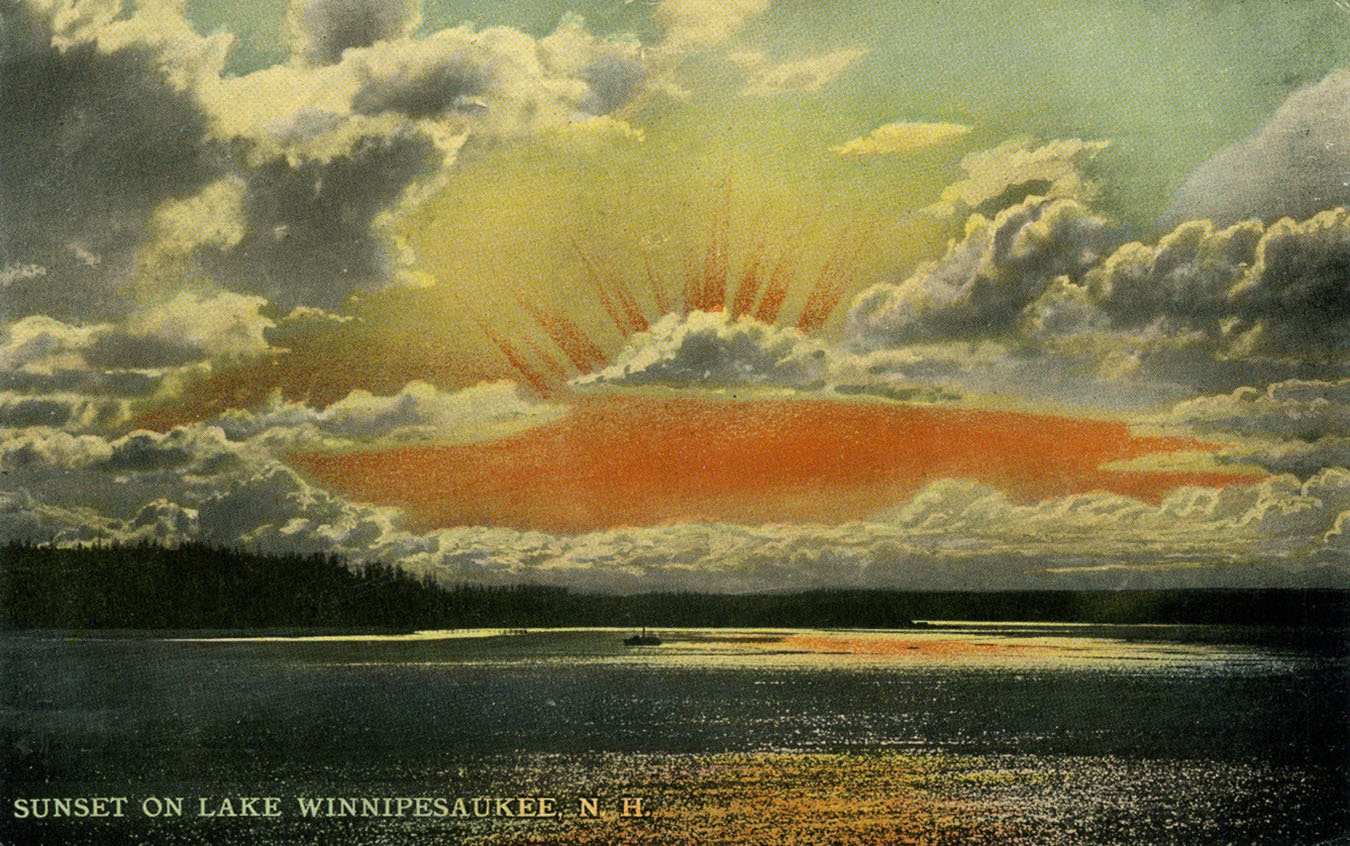
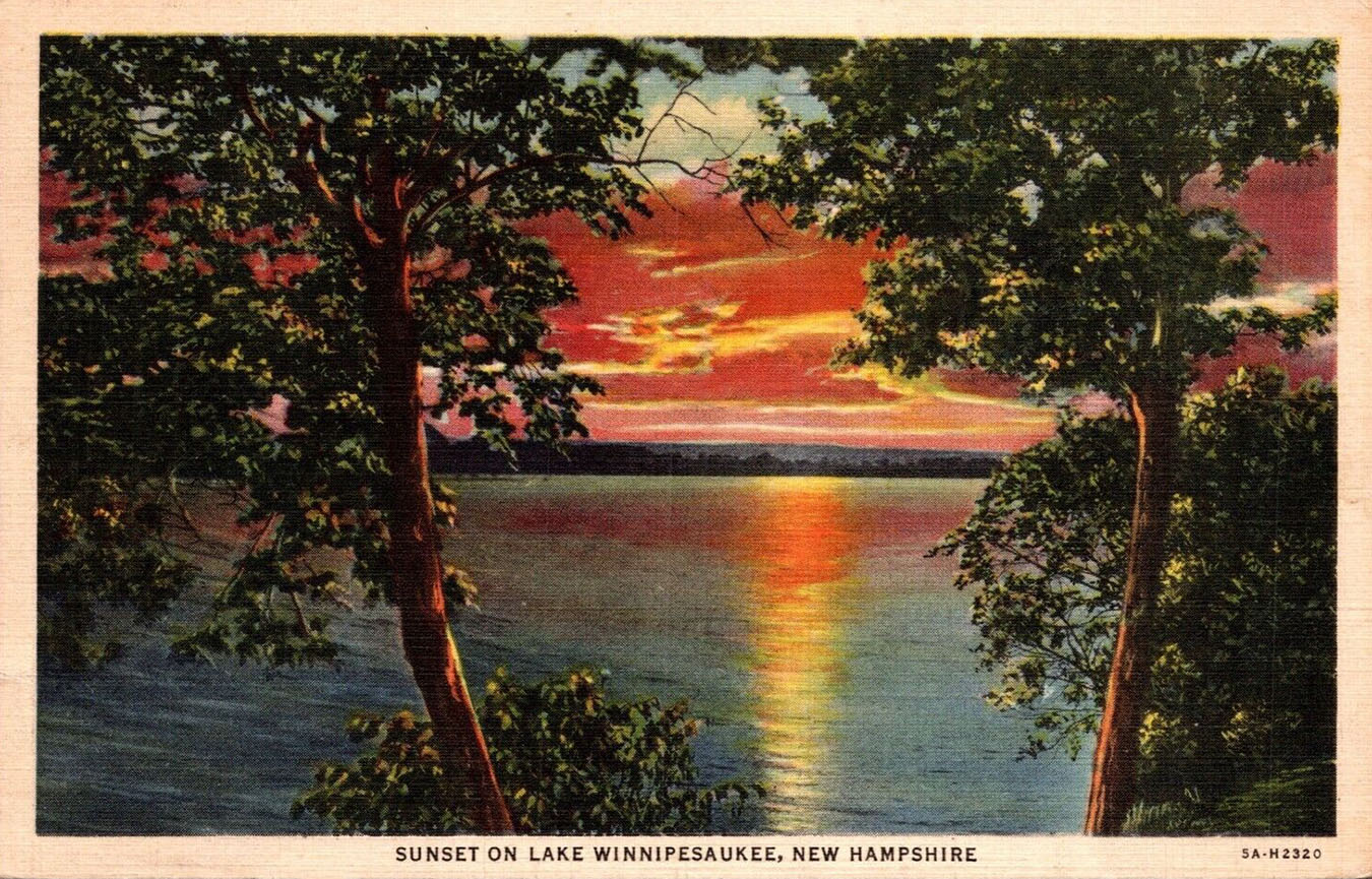
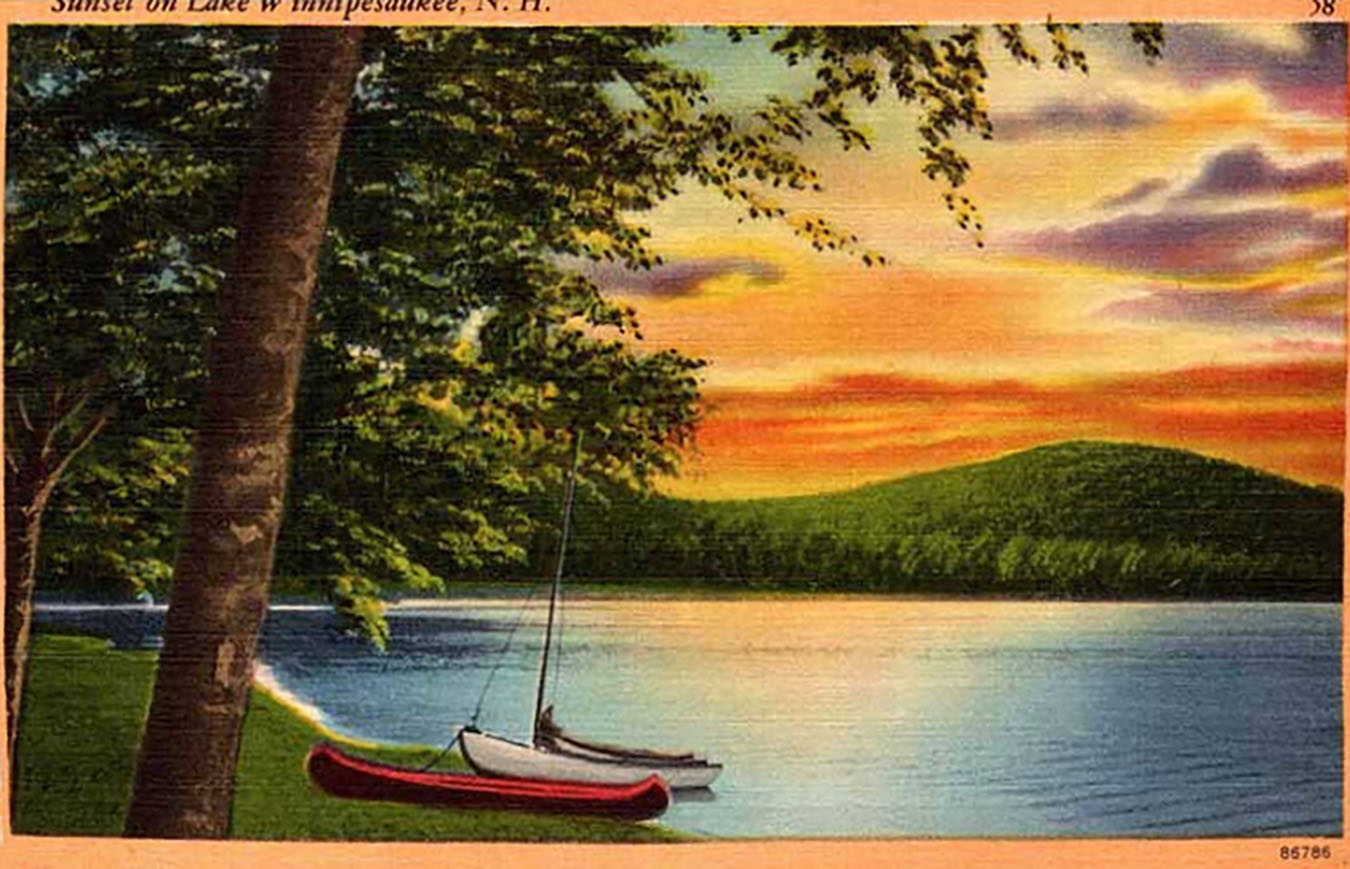
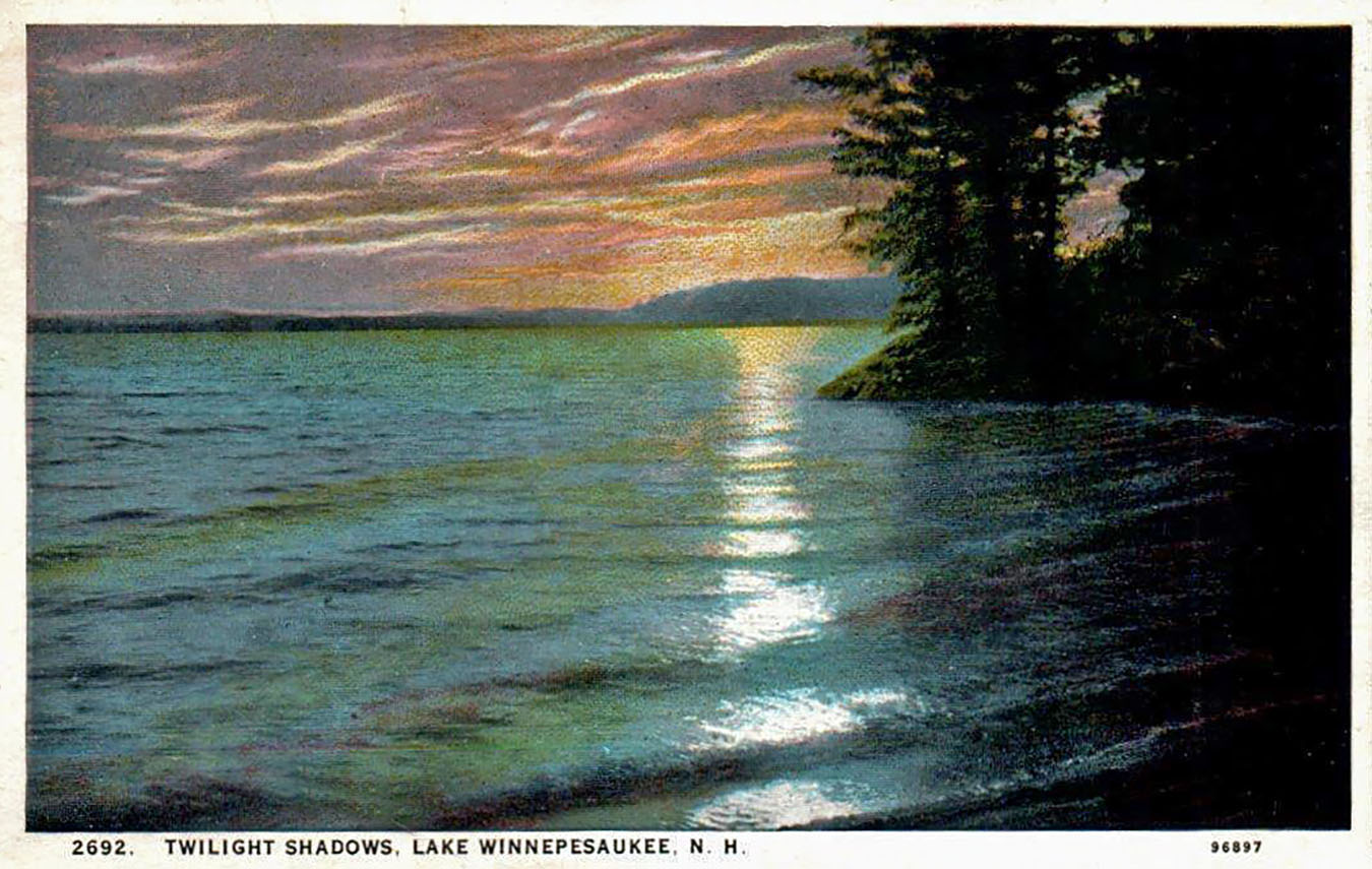
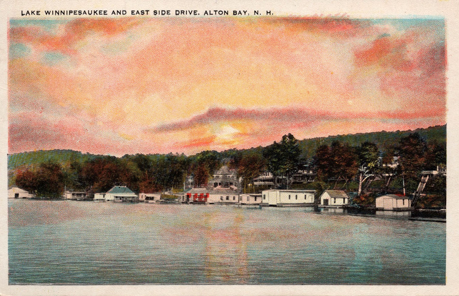
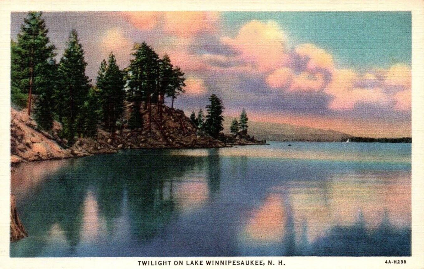
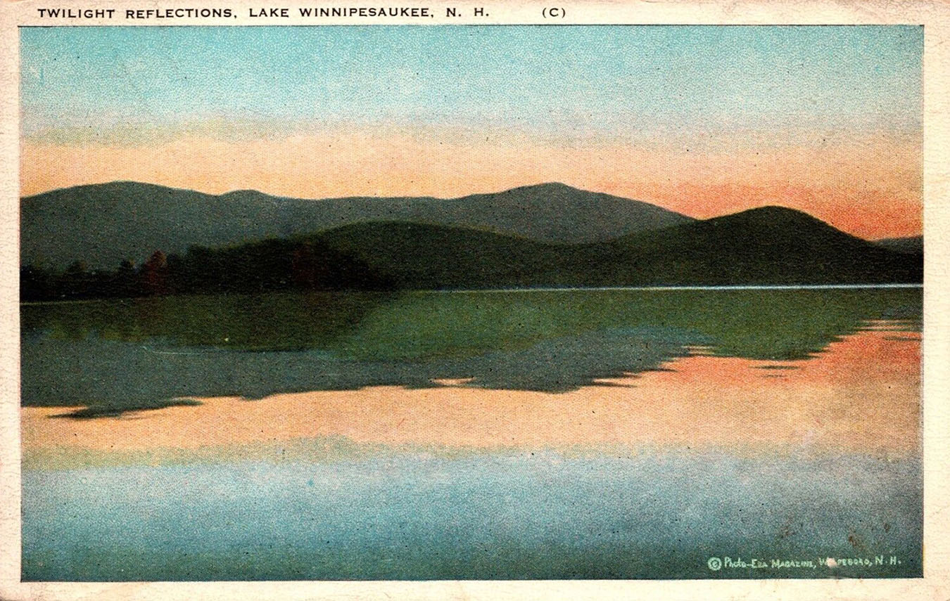
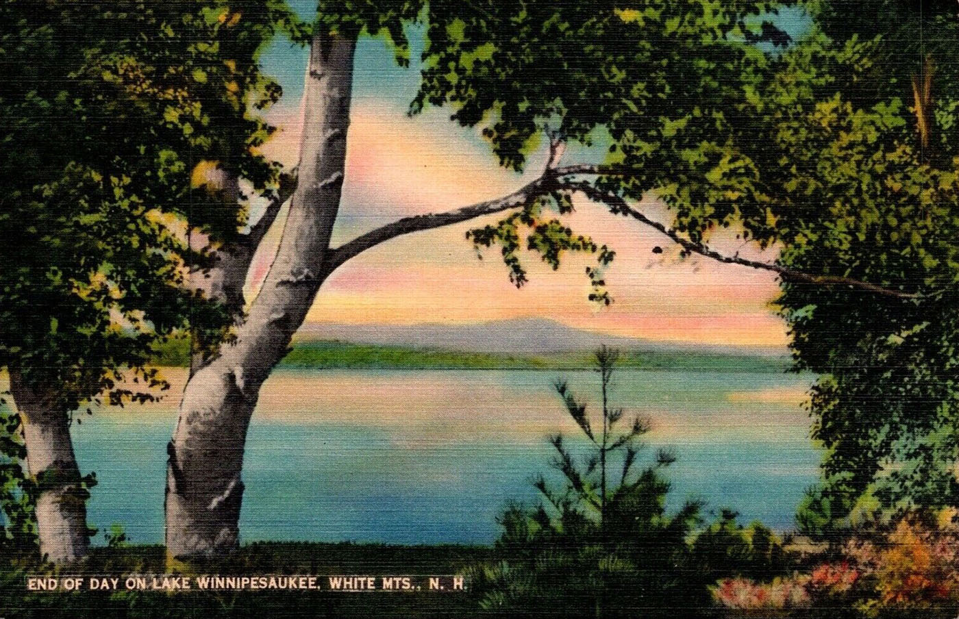
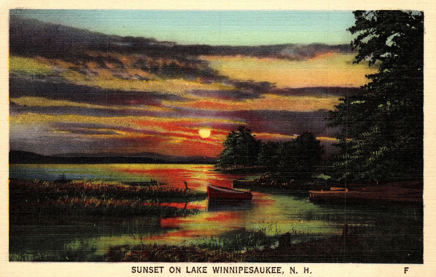
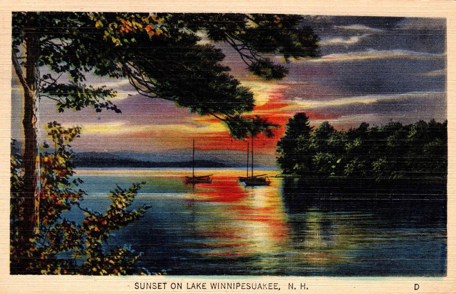
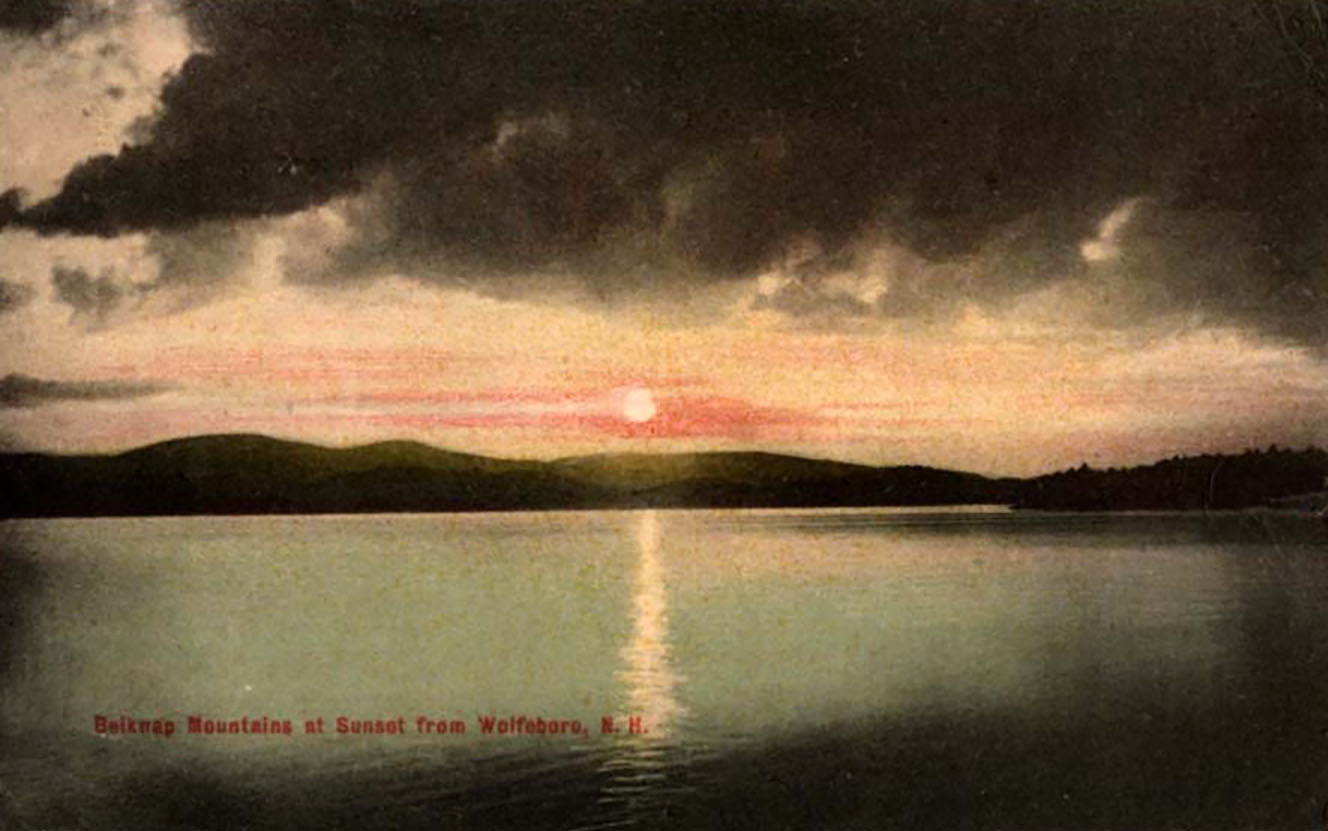
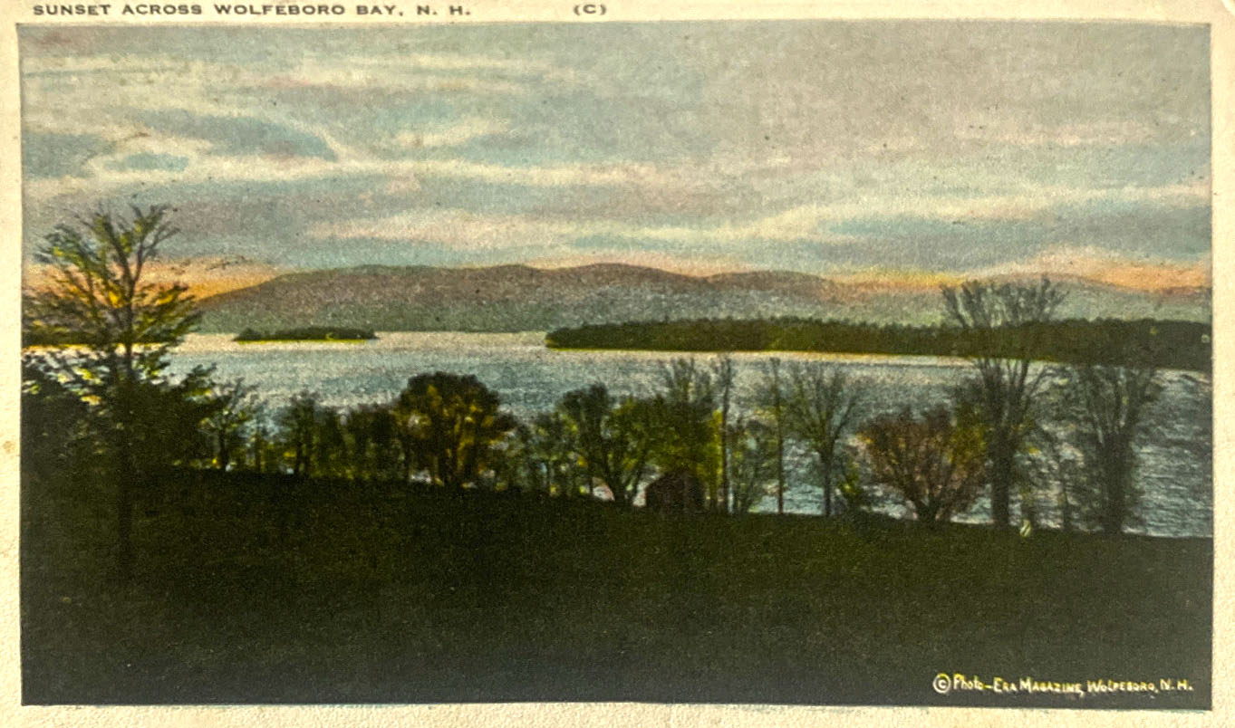
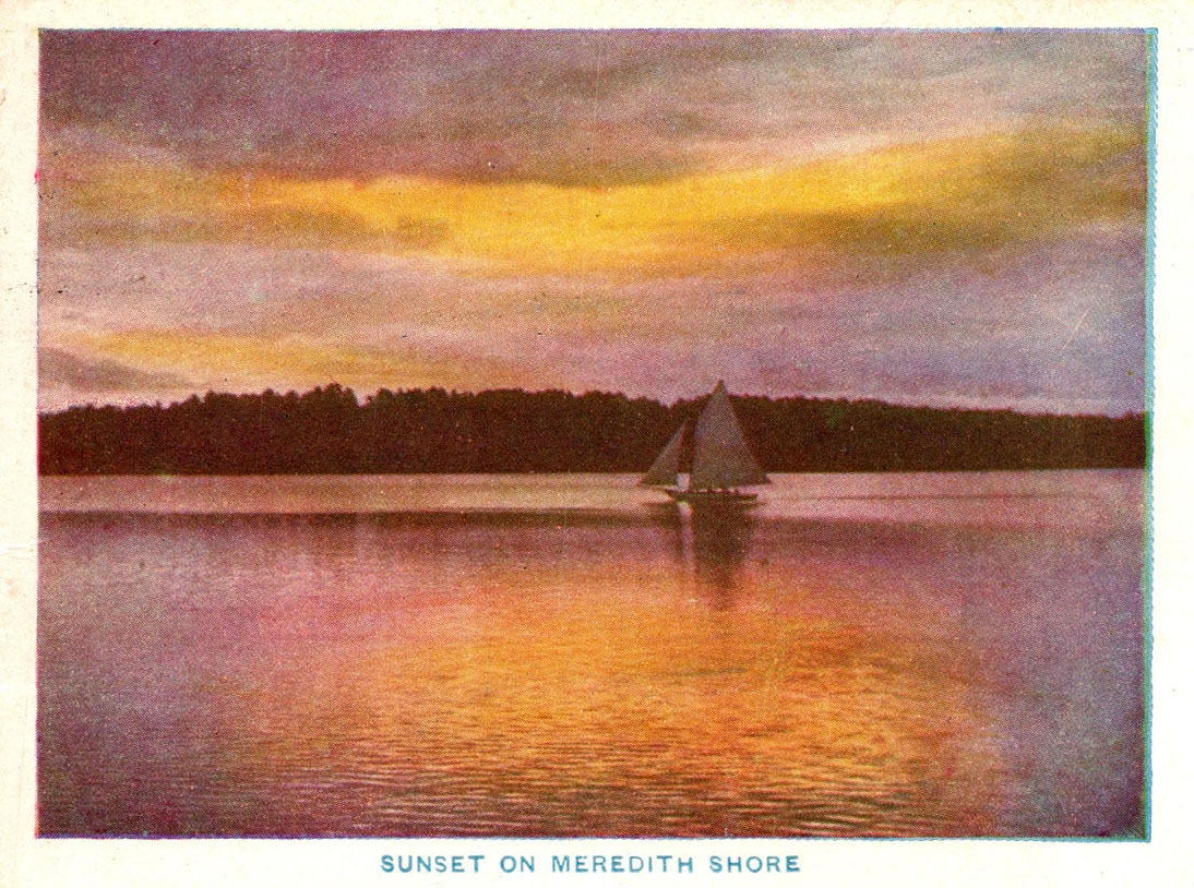
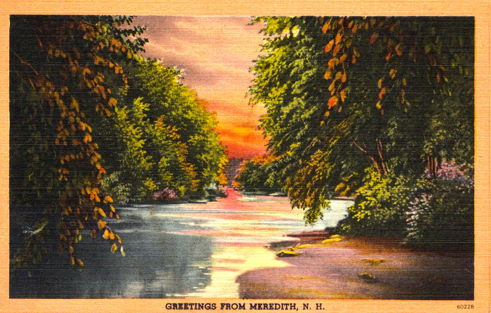
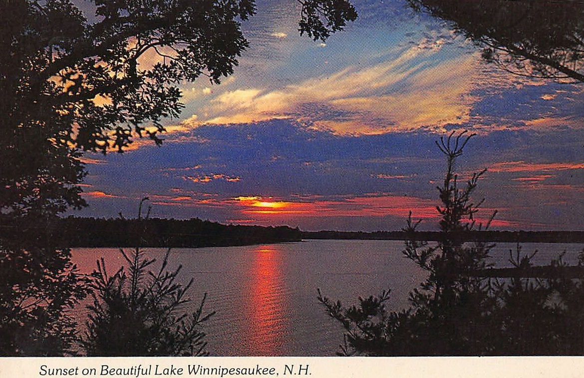
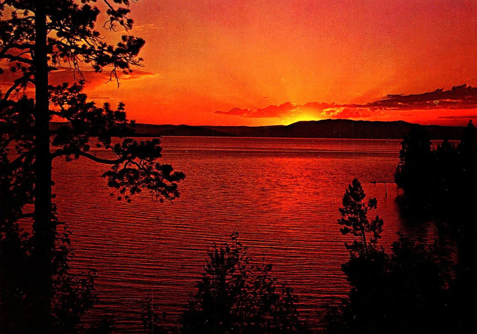
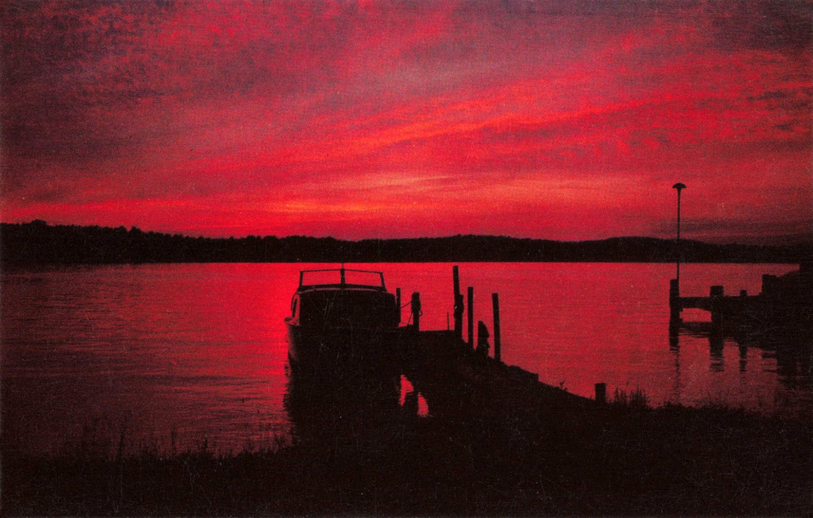
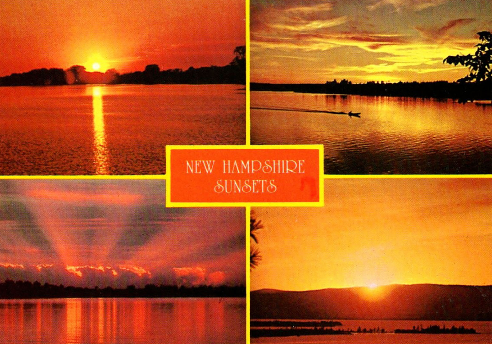
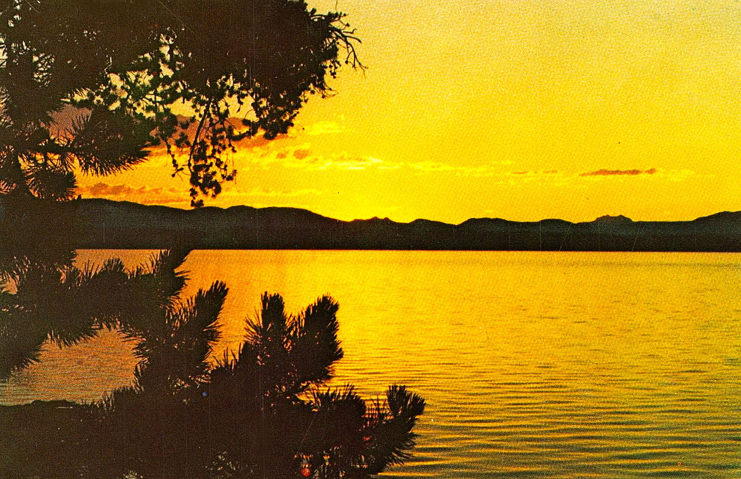
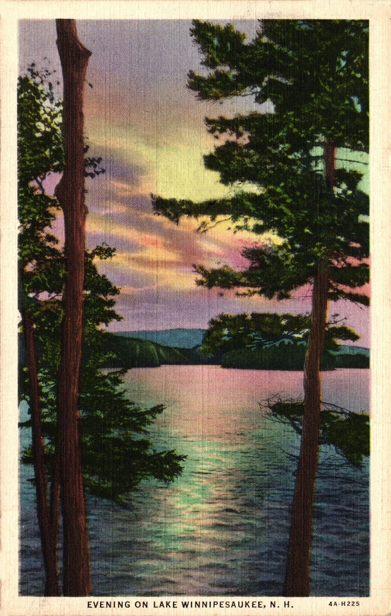
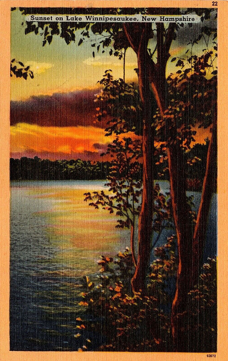
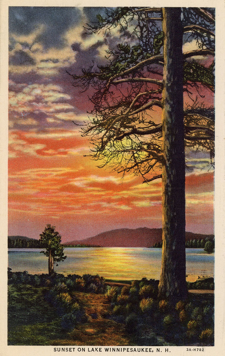
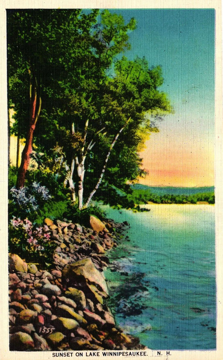
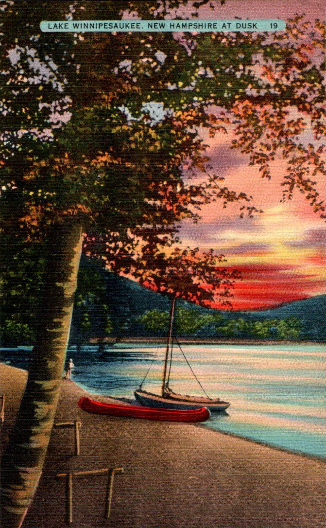
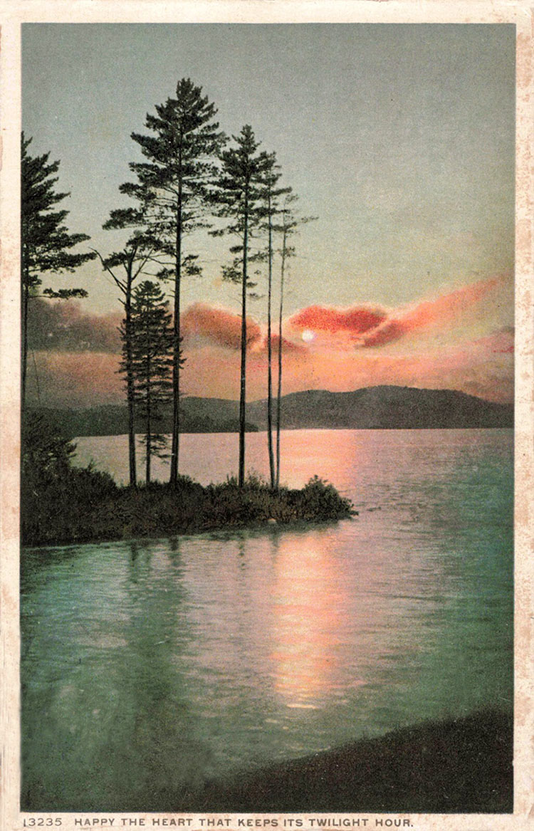
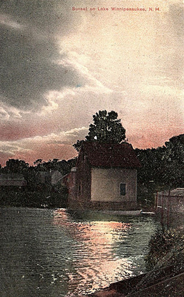
Historical Postcards of Sunset On Lake Winnipesaukee
“A more sensitive eye will not fail to notice the variety of sunset effects by which Winnipiseogee is glorified. The great wreaths of gray and white cumuli, which sailed slowly around the skies’ verge during the day, will sometimes melt into the uprising mists of evening, and belt the horizon with a delicate zone of violet and gray. What an exquisite veil is this for the shadowed parts of the hills around the shores of the lake, and what a fascinating contrast to the fine pencillings of pale reddish hues on their sunward outlines ! Another evening, the hills arc not obscured thus. They stretch a long chain of azure and purple under the southern sky, which is filled over and back of them with masses of irregular, flaky low clouds of orange, violet, and gray, that float before rich fields of creamy cirrus. These hues run an octave higher than those on the mountains below, and the sunbeams vivify them still more here and there with yellow curves and jagged lines of scarlet.” – Thomas Starr King, 1859