







Meredith Area Chamber of Commerce
NAME OF ORGANIZATION | COMMUNITIES COVERED | WEBSITE ADDRESS |
|---|---|---|
| Meredith Area Chamber of Commerce | Ashland, Meredith, Center Harbor, Moultonborough, Holderness, Sandwich, WEIRS BEACH, and the Newfound Area | meredithareachamber.com |
| Greater Meredith Program | Ashland, Meredith, Center Harbor, Moultonborough, Holderness, Sandwich, WEIRS BEACH, and the Newfound Area | greatermeredith.org |

Meredith Aerial Photos Gallery


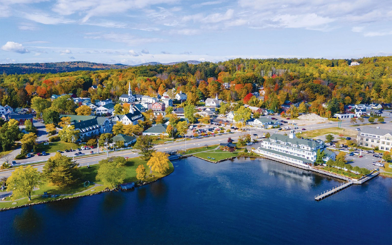

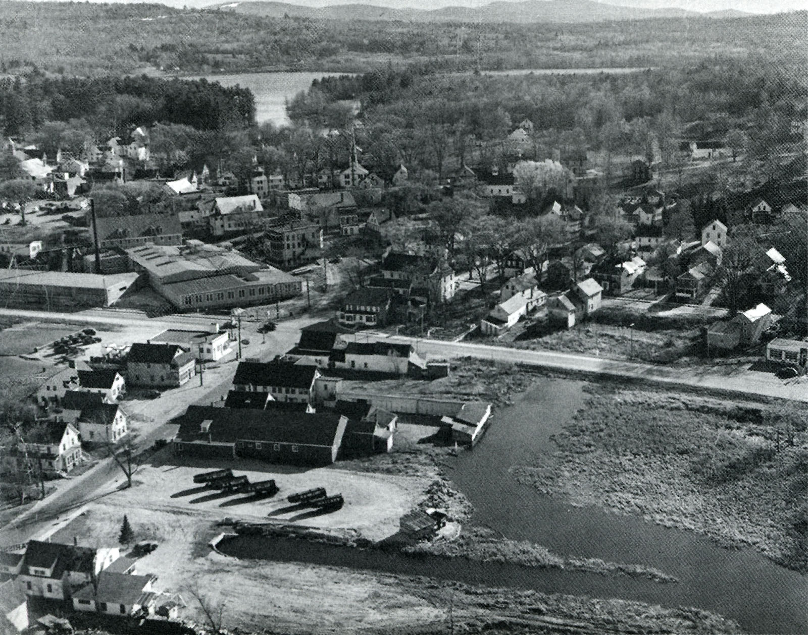
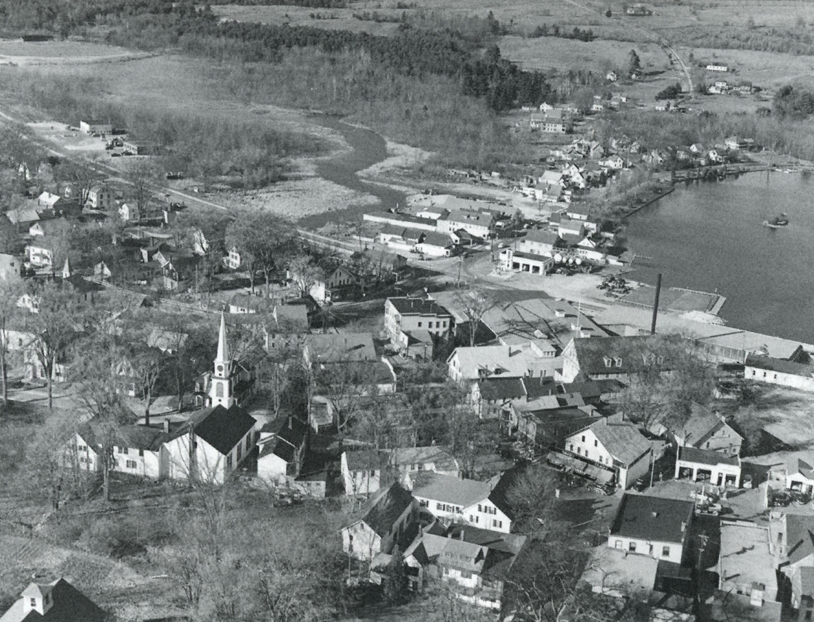


Before aerials, panoramic views of municipalities and village centers were taken from any high point on a nearby hill, and sometimes from the tops of the tallest downtown buildings. Here are several views of Meredith from the nearby hills.


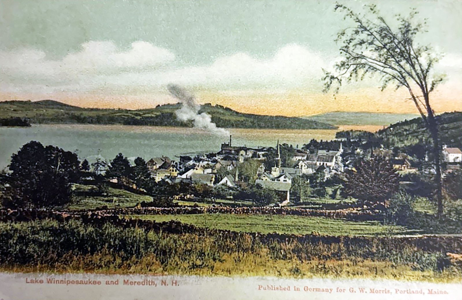
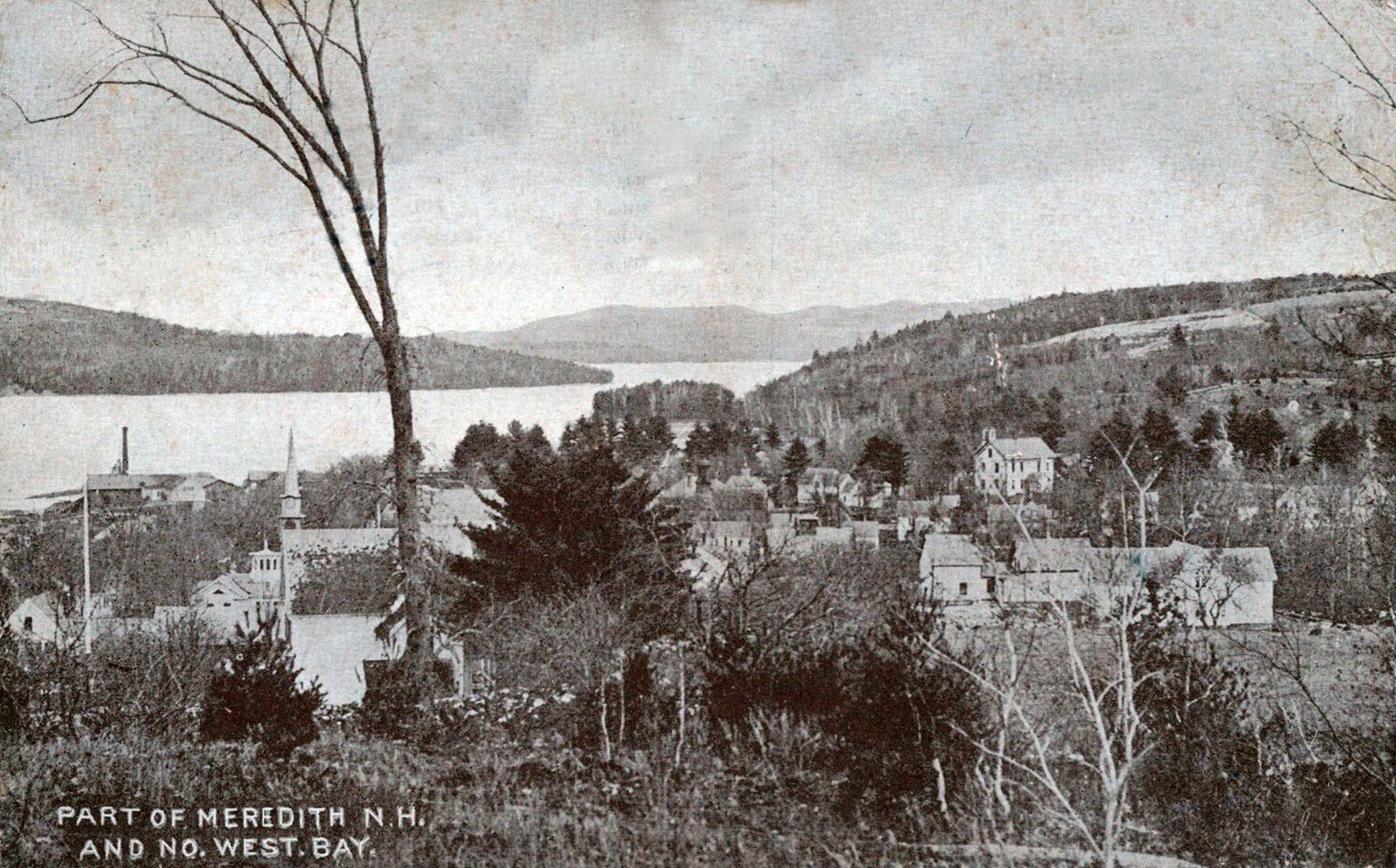
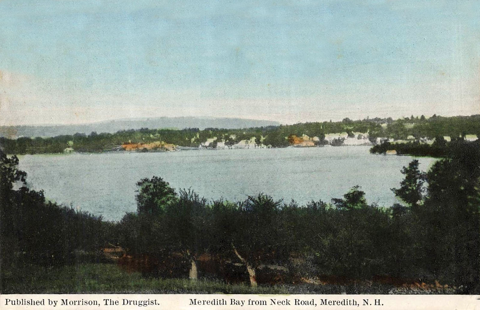
The Meredith Butterfly
Greetings from Meredith, N.H. For more photos and info about the Old Oak, seen in the Butterfly’s upper right wing, click on the link.

The Meredith Train Station
The Meredith train station is long gone. Year-round passenger service to Meredith ended on October 25, 1959; summer service ended in 1965. After a few years, the station building was moved to the hill above the tracks at the Route 3 overpass, where it became the Depot (aka “The Station”) restaurant. Meanwhile, the nearby lumberyard expanded into the former station location. The Depot restaurant burned down sometime in the 1980s. The restaurant location is now a Volvo car dealership.
The Meredith. N.H. Passenger Station.

Boston & Maine Railroad Square, Meredith, N.H. The view shows what is now Lower Ladd Hill Road sloping upward to the left.

Boston & Maine R.R. Station, Candlemas Day, 1906

People standing on the tracks; luggage carts underneath the canopy.
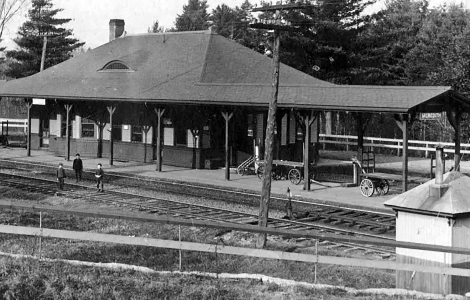
B. & M. Station, Meredith, N.H.

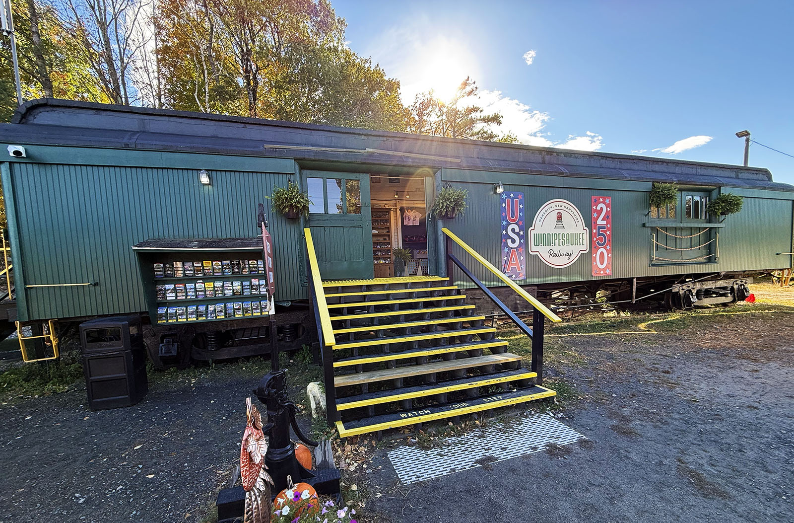
The Meredith location is now the hub of operations for the Winnipesaukee Railway tourist railroad. Lacking a permanent station building, the Railway uses a railroad car as their ticket office.
View of Meredith in 1838
A famous engraving of Meredith by William Henry Barlett, looking north from Ladd Hill. The view shows the village as it was then, and Meredith Bay, with the Congregational Church in its former location near the shore on today’s Pleasant Street. (The church is portrayed hugely, out of proportion to its surroundings.)
In the foreground we see a small flock of sheep. Sheep farming was one of the main occupations of the early settlers of the town during the “sheep boom” of 1820-1850. The big boom in the New Hampshire sheep business was caused by various factors: embargoes on foreign wool during the 1810s, the surplus of local woolen mill capacity, and improvements in the breeding stock. By 1836, the height of the boom, there were about 465,000 sheep in New Hampshire! The sheep boom came to a quick close around 1850 due to competition from western farms, who could now easily ship their more cheaply produced wool via the rapidly expanding network of railroads. Today, there are only about 6,500 sheep in New Hampshire.
By 1850, 50% of the land in New Hampshire had been cleared, whether for sheep farming or other agricultural uses. This was the peak year of cleared land in NH. The quickly cleared forest was much better suited for sheep pastureland than for cropland. Sheep could eat the vegetation that grew around the inevitable small rocks that remained in a field, while crops required richer, rock-free soil to thrive.
In addition to the end of the sheep boom, the Gold Rush, the Civil War, and migration to the Midwest, where it was much easier to farm, led to wide-spread abandonment of agricultural land and rapid reversion to forests. Hence, the reason for the many abandoned stone walls seen throughout our NH forests. Walls with larger, uniform stones can be identified as pasture walls, as the walls needed to be high and strong enough to keep the sheep penned in. Walls with smaller, varied stone sizes can be identified as crop field walls. Today, NH is the second most-heavily forested state in the USA, with forests covering 4.8 million acres, about 85% of NH.

Hesky Park
1960s view of what is Hesky Park today. In 1983, the Meredith Rotary Club led a major upgrading of this portion of the Meredith waterfront. The land was graded and landscaped, a boat ramp and a foot bridge were added, and benches and picnic tables were spread throughout.
