


Weirs Beach Aerial Photos Collection
1920’s
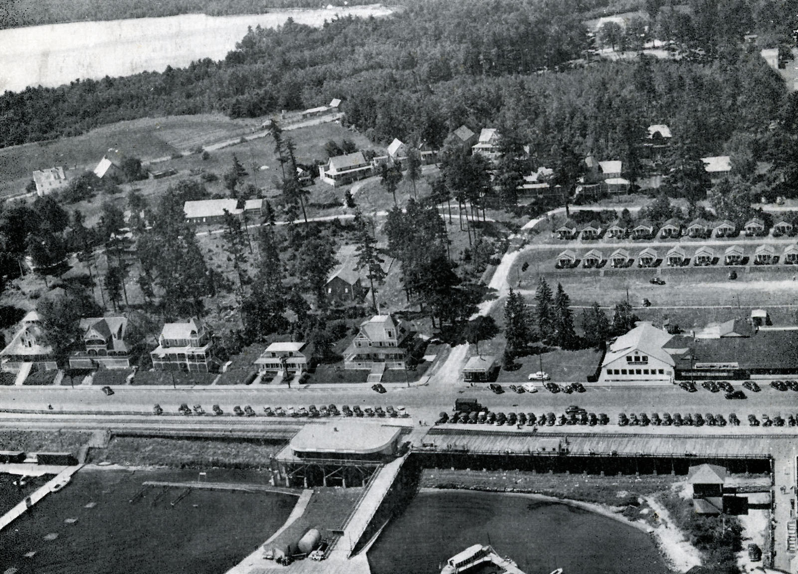
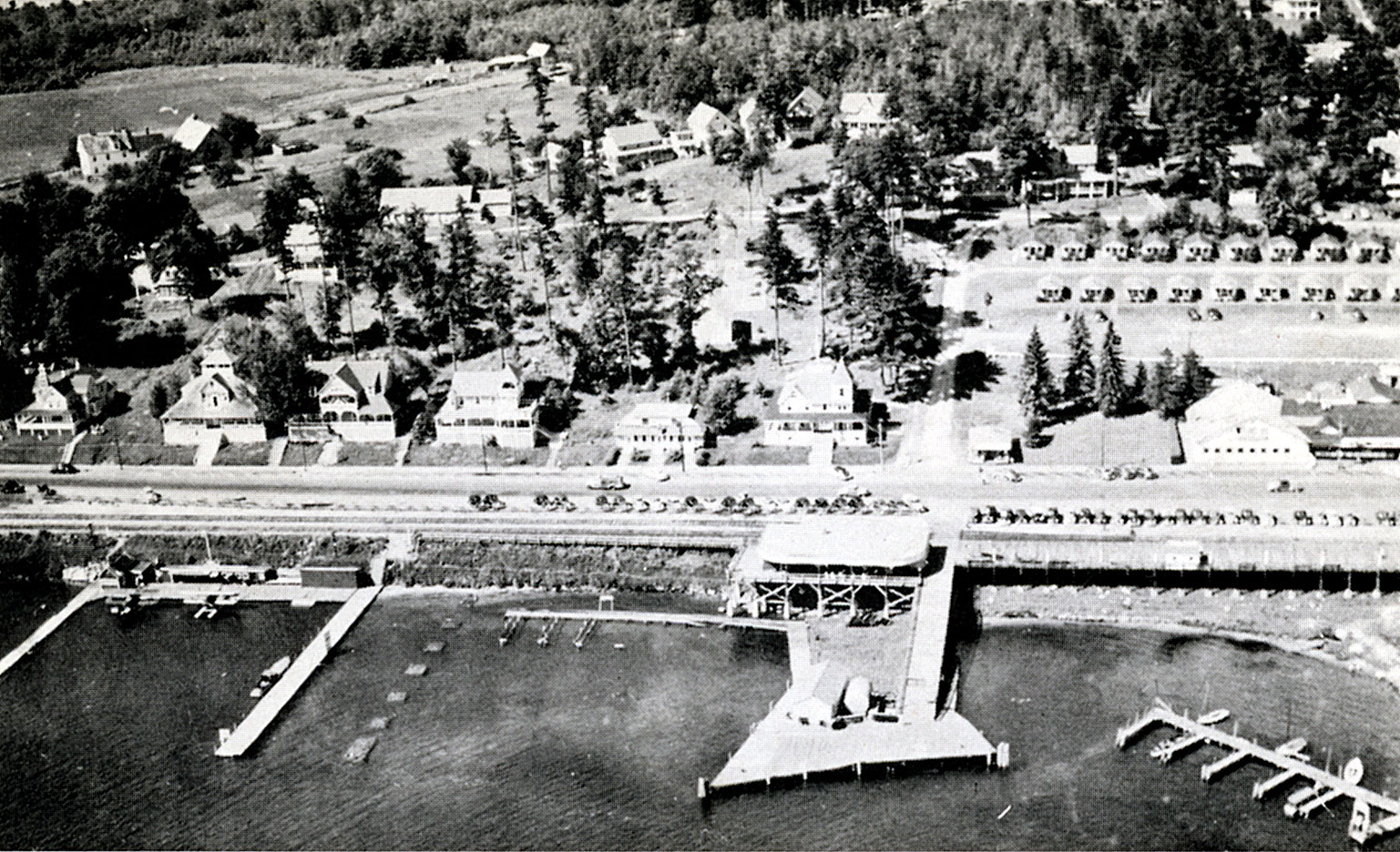
1924
These two aerials are a pair, the oldest known aerials of Weirs Beach. The actual year of the photos is unknown, but they most likely date from the early 1920s (1924 or earlier). The pair were taken at the same time by aerial photographer E.D. Putnam, as can be determined by the location of the trains, cars and boats evident in the two photos. The first photo is shot is shot from the lake, looking directly at the boardwalk, while the second photo is shot looking down Lakeside Avenue. Both photos show the New Hotel Weirs. The second photo shows only the twin turrets of the Hotel, with the rest of the structure obscured. The existence of the Hotel dates the photographs as having been taken prior to the Great Weirs Beach Fire of November 9, 1924 which destroyed the Hotel, as well as many other structures in Weirs Beach. Both photos show the 1893-1939 train station, canopy, cafe and wharf; as well as the original, 1910-1924 Winnipesaukee Pier. Clearly seen in the upper center of the second photo is the pedestrian footbridge which crossed the railroad tracks to the Lakeside House. (The four-story Lakeside House itself cannot be seen, as it is heavily obscured by the pine grove which surrounded the hotel prior to the 1938 hurricane.) In the second photo, the multiple railroad tracks down Lakeside Avenue, as well as the utility poles down the center, clearly stand out. Also noticeable is the spur railroad track descending down to the railroad station and wharf, where cargo could be more easily loaded upon the Mount Washington steamer, which is not seen in these photos.


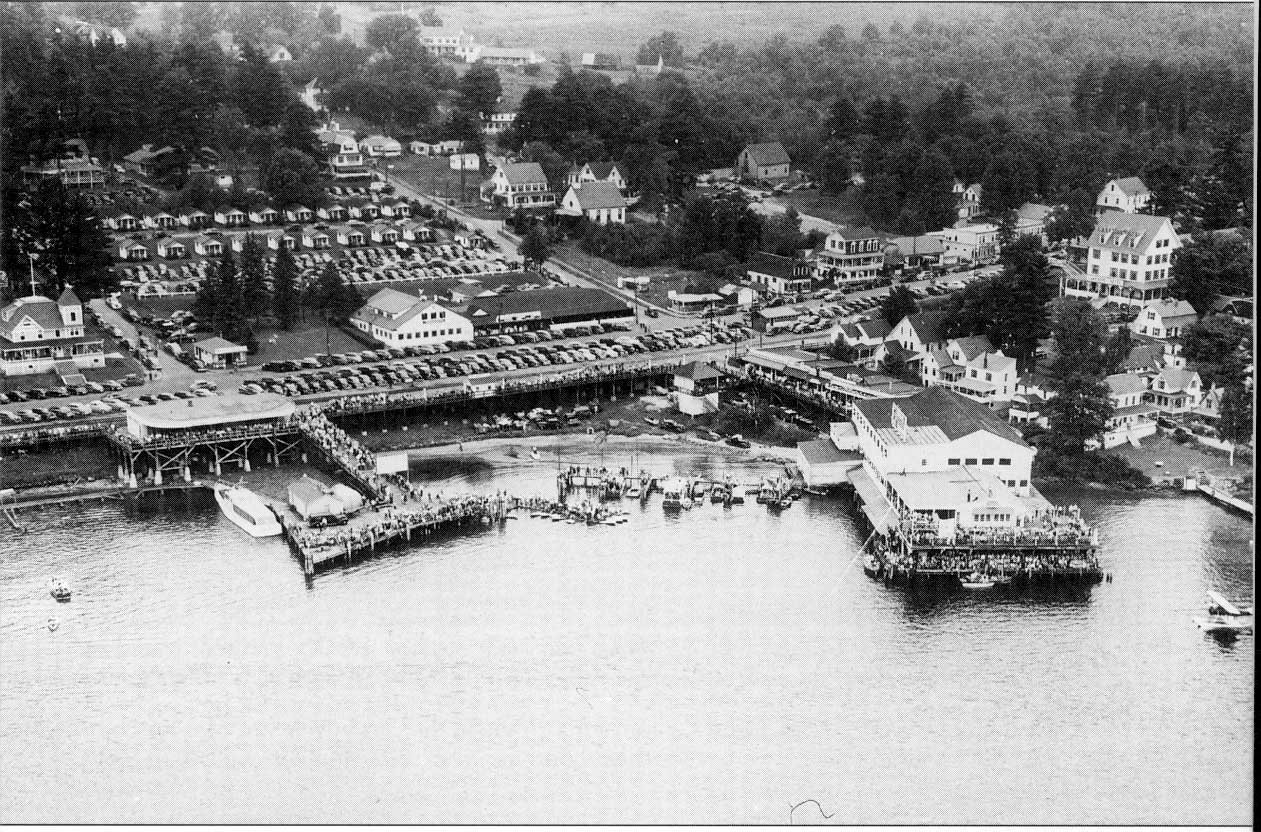
1930’s
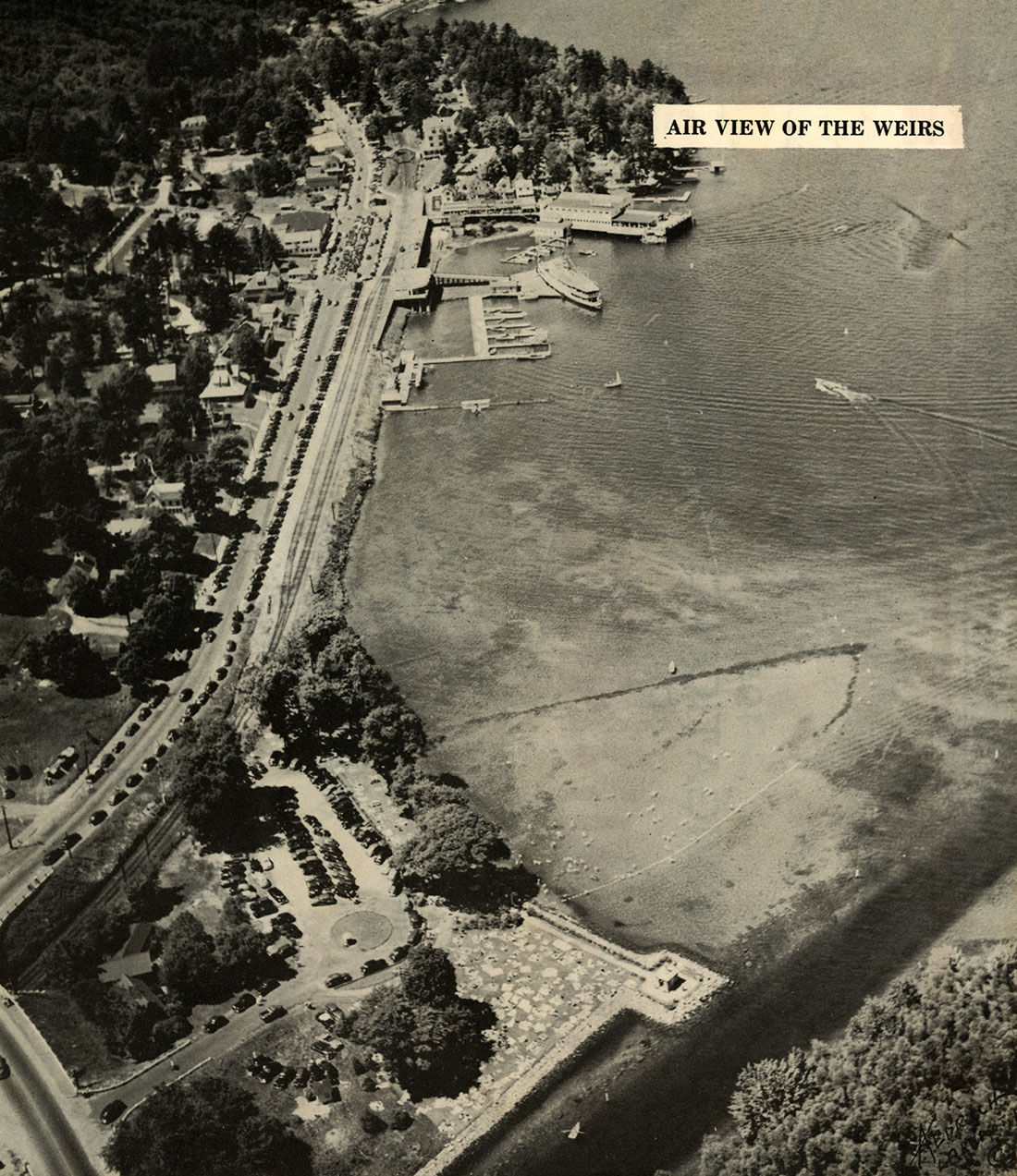
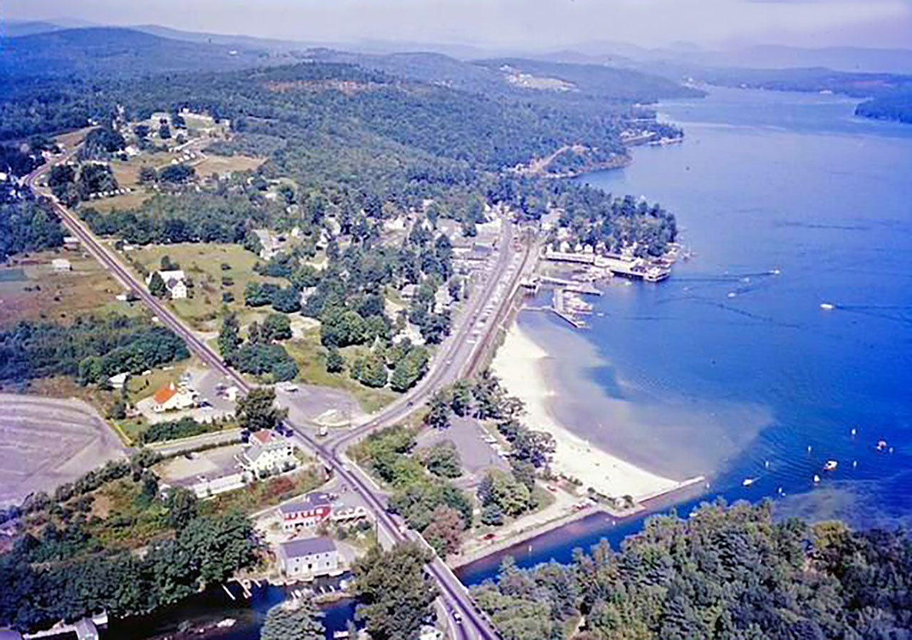
1930

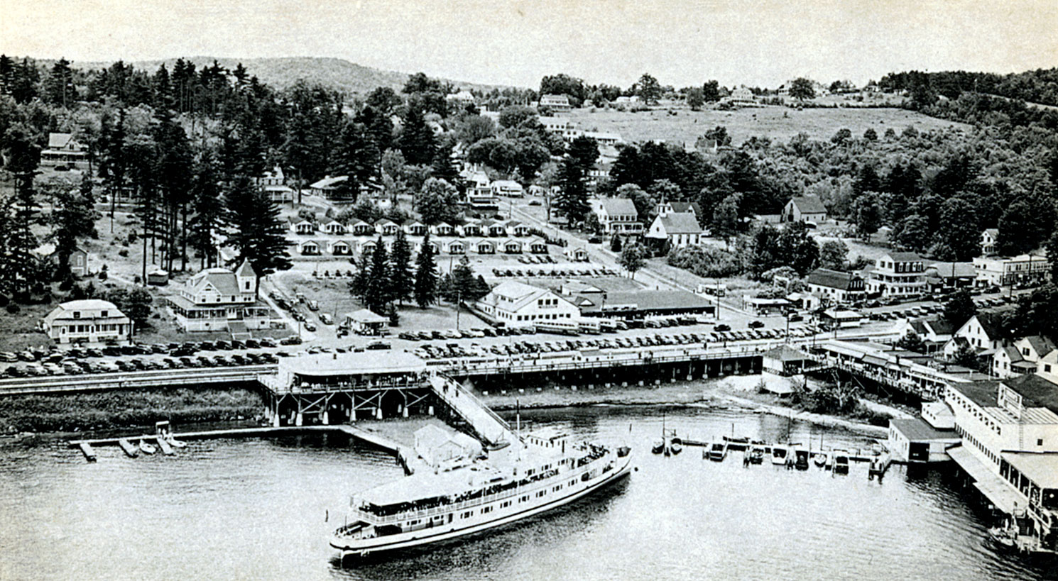
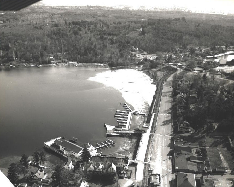
1930
Weirs Beach on July 29, 1930. The New Hotel Weirs was gone, but the Half Moon Tea Room was yet to be built

1938
The color postcard uses the same image as the black and white postcard. It demonstrates how difficult it can be to hand tint an aerial, especially on a linen postcard. The result is almost a complete loss of detail.


1940’s
1940
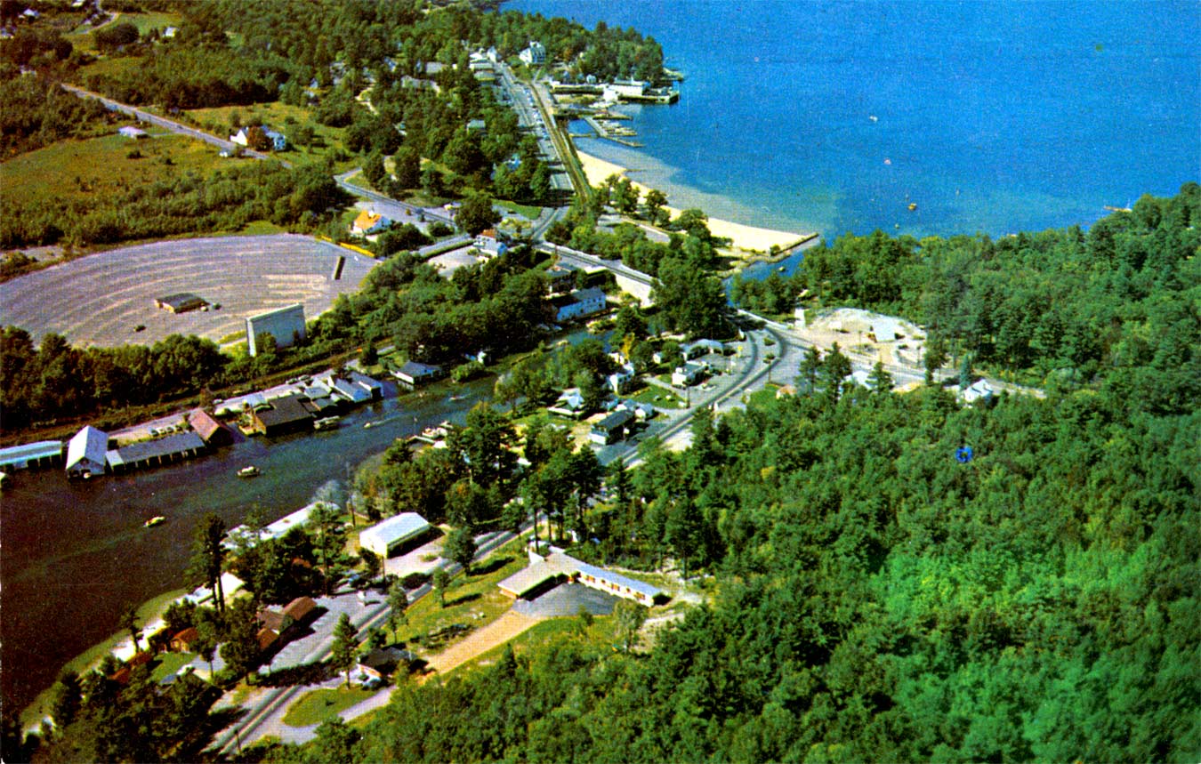
In the photos below, one of the three sets of railroad tracks which had been part of Lakeside Avenue since the mid 1880’s had been removed as far as the Cavalary HQ building and was in the process of being removed entirely. Of course, of greater interest is the gathering of seaplanes at the Weirs Seaplane Base.


1940
1945
1947
1949
1949
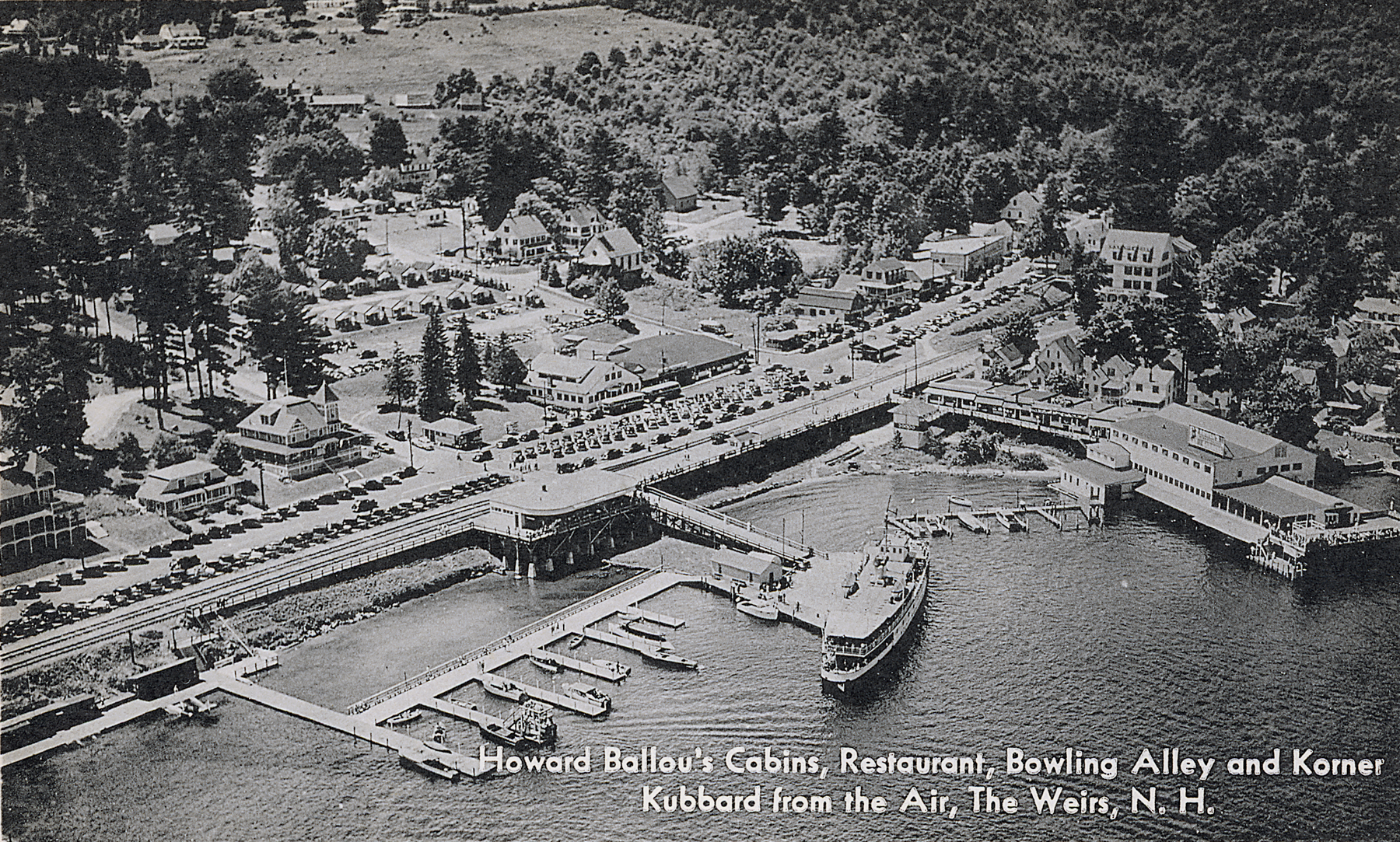
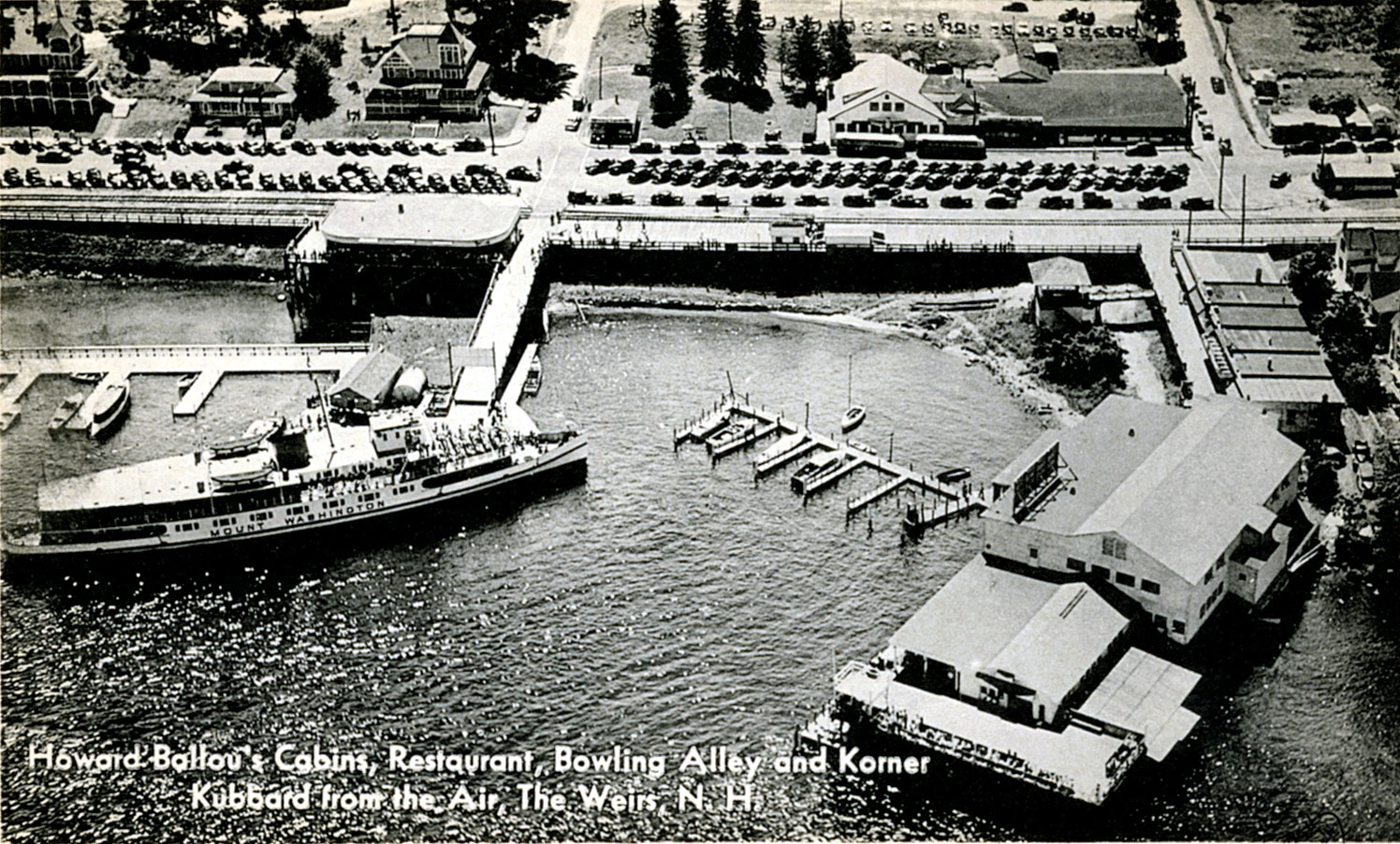
1946
1946 postcard on left. On right, the original photo, which was shot by Harold Achber for Don Favreau, who owned the Lakeside Hotel at the time.


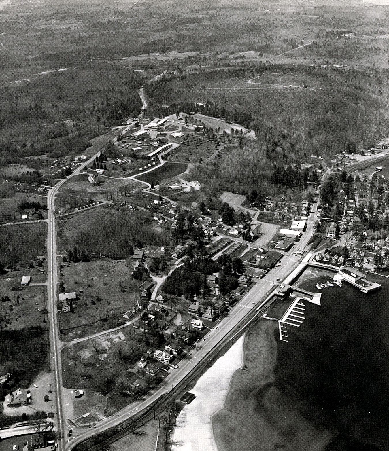
1948
Due to its fragility this large photographic print (approximately 2’x3′) could not be removed from the wall of the old Half Moon office where it resides. Unlike the other aerial photos on this website, which were scanned from the original document, this photo was taken with a digital camera. The yellowish splotches along the top of photo are reflections from the office lighting. Dating from approximately 1948, this photo is very interesting. It shows the unusual parking arrangment of the time.
It also shows, directly behind the original Half Moon buildings, a service road entering from Tower St, which no longer exists. A branch bank was constructed in the early 1960’s on Tower Street, blocking the entrance of the service road. The branch bank operated under various ownerships until it was discontinued in the mid 1990s, at which time it became the new Half Moon office.
The aerial photo also shows, in front of the first row of cottages, a lower entrance to the Half Moon Motel & Cottages from New Hampshire Avenue, facilitating its use as a parking lot. This lower entrance from NH Ave was discontinued in 1957 when Sidney Ames purchased the property from Howard Ballou. An upper entrance from New Hampshire Avenue, between the two rows of cottages, continued in use until the Half Moon Motel was built in 1964. Access to the Half Moon Motel & Cottages is now entirely from Tower Street.
Another interesting feature of this photo is that it shows the crosswalk to the Winnipesaukee Pier in its original – and current – location. (From the mid 1960’s to the mid 1990’s, the crosswalk had been relocated to cross Lakeside Avenue diagonally, directly to the Winnipesaukee Pier from the corner of Lakeside Avenue and Tower St.)
Also evident in this photo, from top left to top right, is the bandstand at Irwin’s Winnipesaukee Gardens; the information booth on the boardwalk; the 1940-1986 train station; and the Weirs Seaplane Base. In the lower right hand corner is the signature of the photographer.


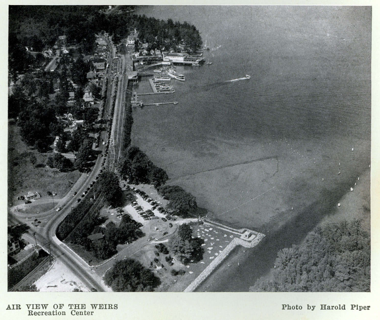
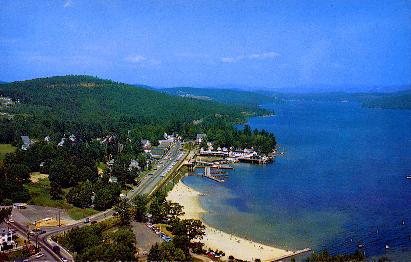
1950’s
1950


1951

1952


1952


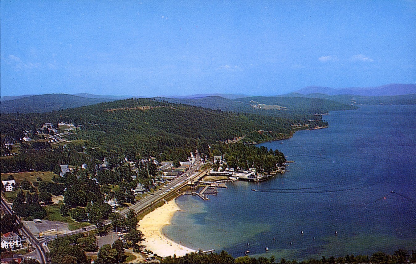
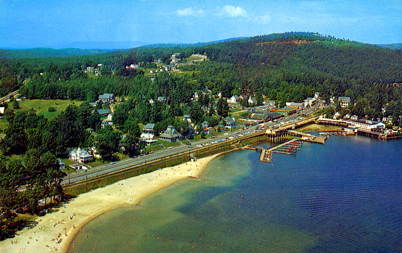
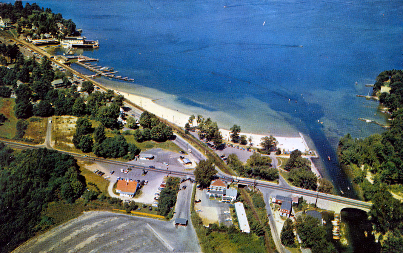
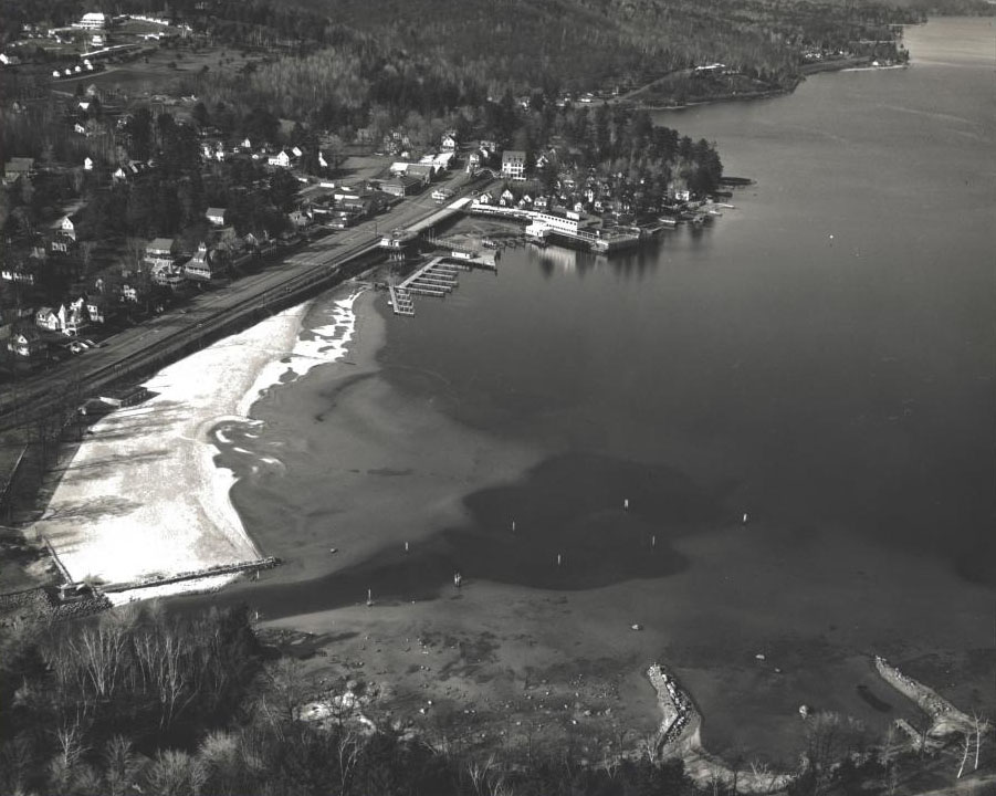
The first two aerial photos were taken no later than 1952, as the railroad siding on the left, evident in both of the photos, had been removed by 1953. The third photo dates to 1954; the beach has been expanded and spread out.

1955
1957
1958
1958
1959
1959
1959
1959
1959
Notice the Weirs Beach arrow sign in the lower left corner!
1959
1959
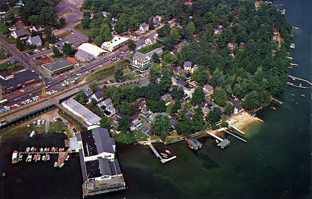
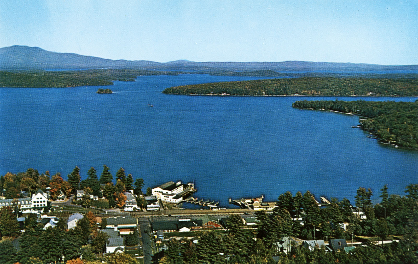
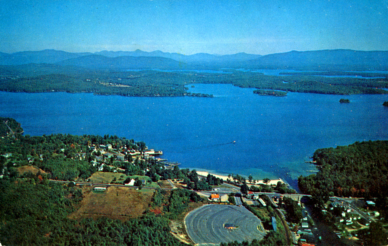
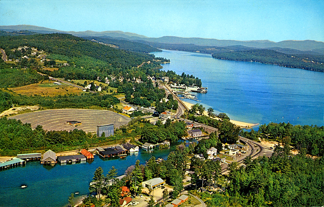
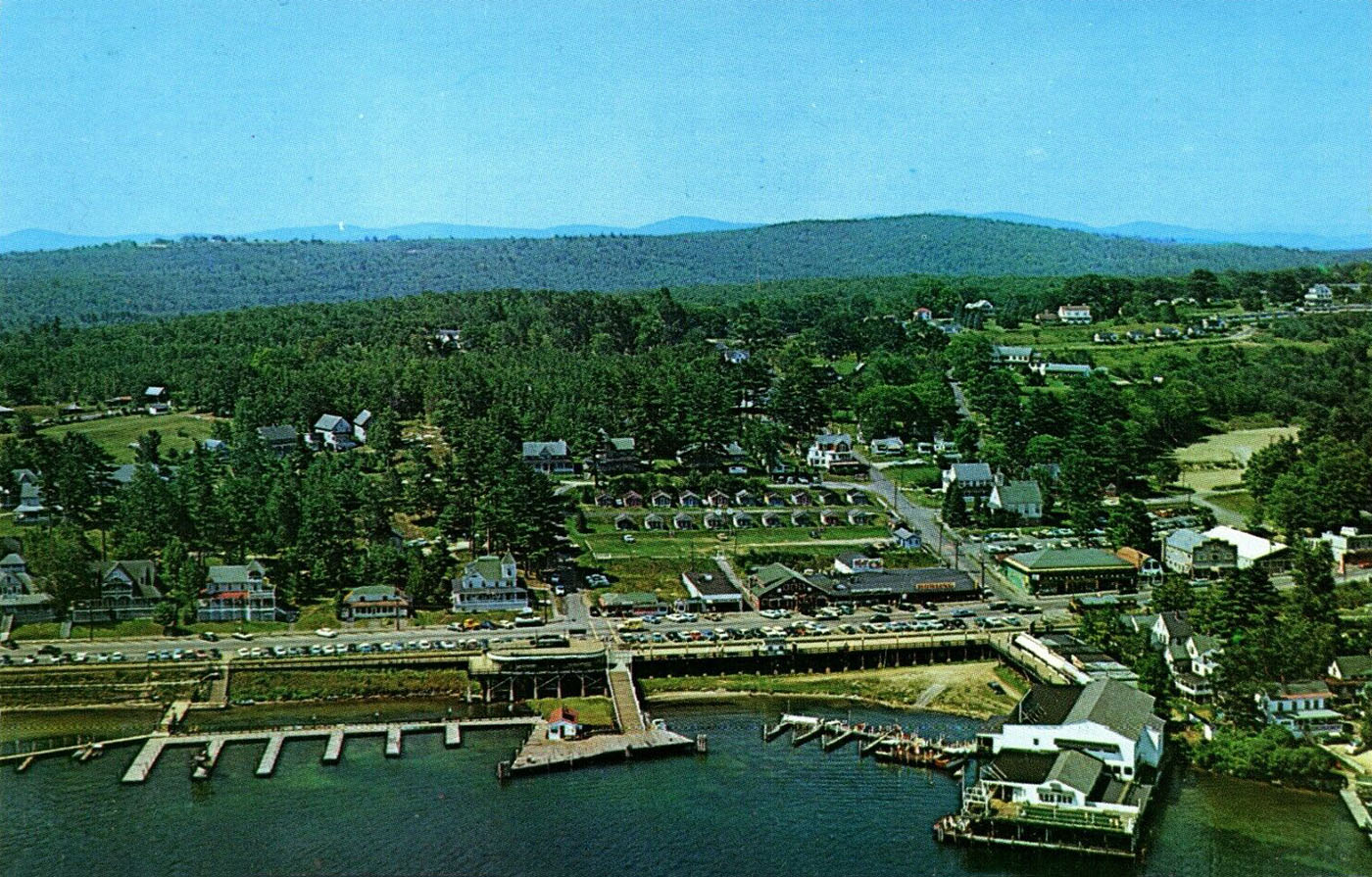
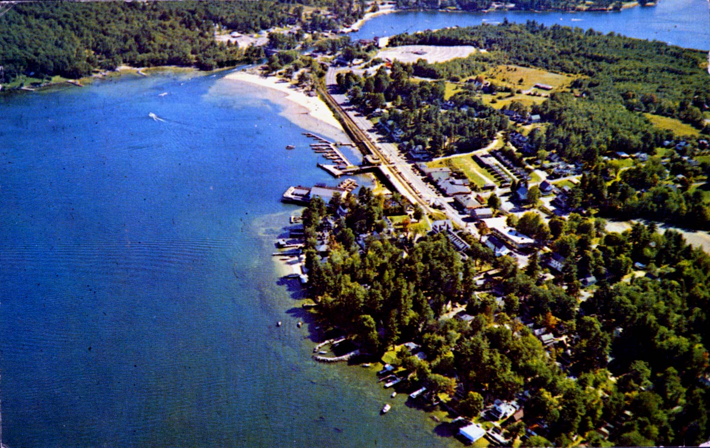
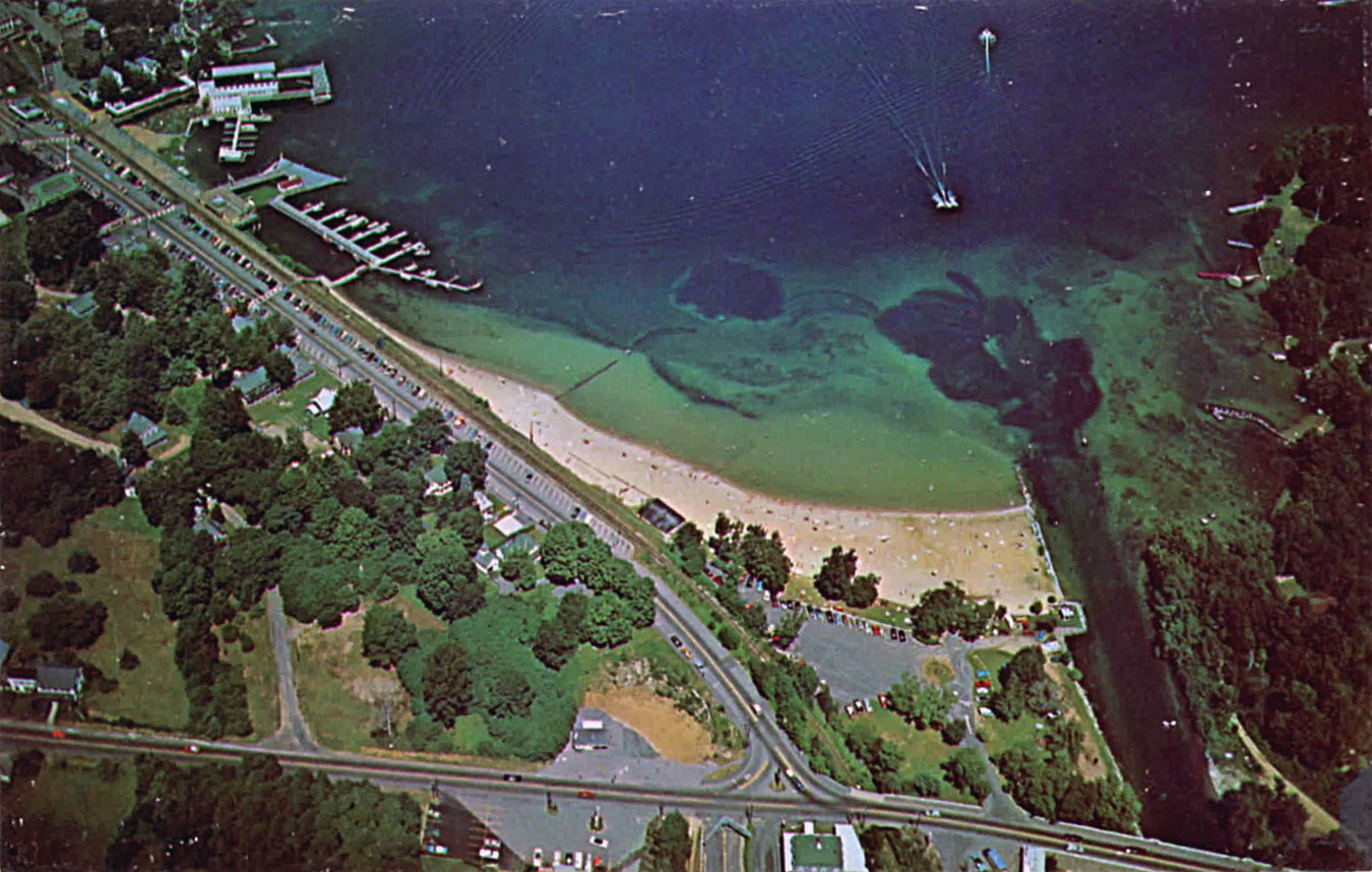
1960’s
1960
1960
1960
1960
1961
1962
1962
1962
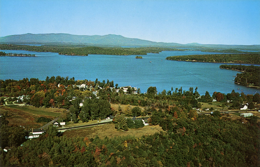
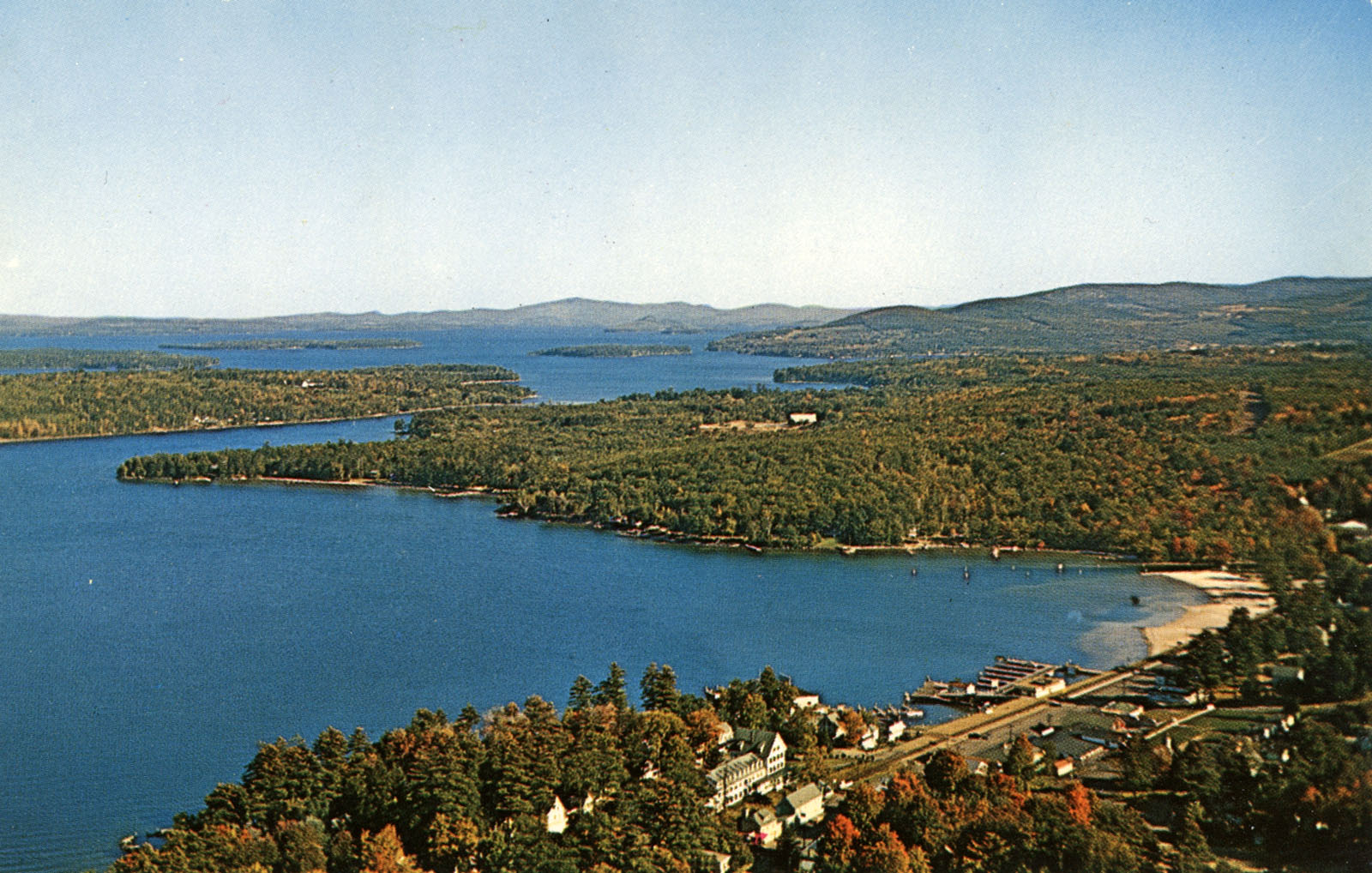
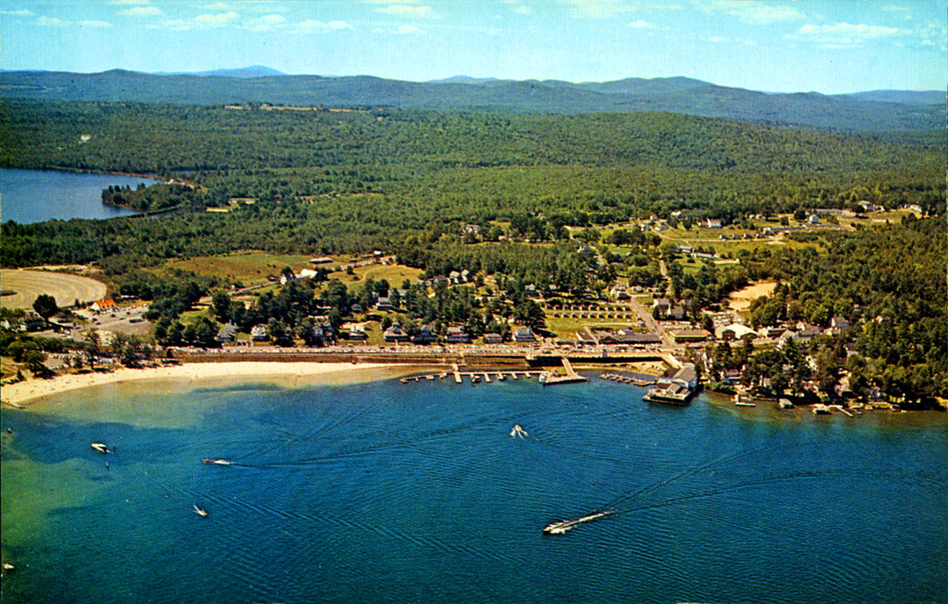
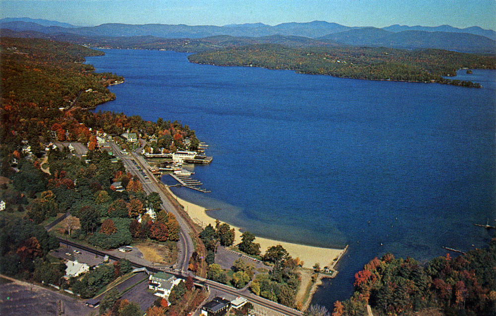
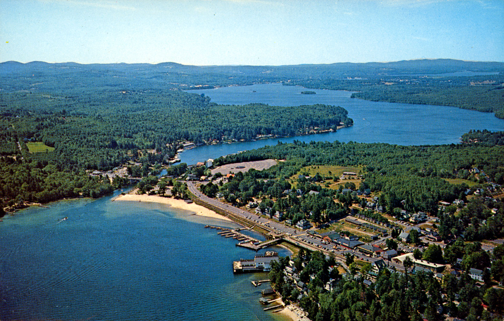
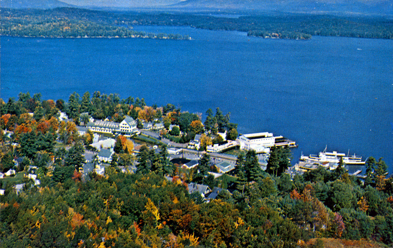
Brickyard Mountain
In the circa 1960 aerial of Weirs Beach seen above, 940′ high Brickyard Mountain can be seen rising over 504′ high Lake Winnipesaukee. Brickmaking was one of Weirs Beach’s earliest industries, beginning in the mid-1800s and continuing until around 1915.
Brickyard Mountain was once known as Doe Mountain, after Augustus Doe, longtime owner of the brickyard. (Click on the link for extensive info about the Weirs brickyard.) Previous to its Doe moniker, the mountain was known as Blacksnout. The Native American name for the mountain is unknown. However, it is known that the same very hard, dark green clay used for making bricks was used by the Native Americans for 10,000 years to make pottery.
During the 1970′s, a ski area was built on Brickyard Mountain, obliterating many of the mountain’s original glacial features. The ski area was very short-lived and closed in the early 1980′s. For the next 20 years, trees and brush grew in rapidly, obscuring all traces of the ski area. Here are two websites with information about the former ski area: NELSAP (New England Lost Ski Areas Project) and New England Ski History.
As recently as 2002 the mountain top was undeveloped and could have possibly been made into a park. It has now been developed into a private housing community. Most of the housing is on the backside of the mountain and can’t be seen from the Lake or the town. However, there are now several houses that mar the view of the mountaintop.
“A little farther along toward Meredith just off the main road rises Blacksnout Mountain, from the summit of which is to be had the very best view obtainable about the Weirs of the Winnipesaukee lake and mountain region…The ascent from the road is very gradual and easy, but abrupt and practically impossible on the side toward the Lake. It is hoped that sometime this splendid vantage point will be utilized as a public park. There has been talk of an incline railway, including a large observatory at the topmost point.” (From Rambles About the Weirs , by Edgar H. Wilcomb).
1960

1961

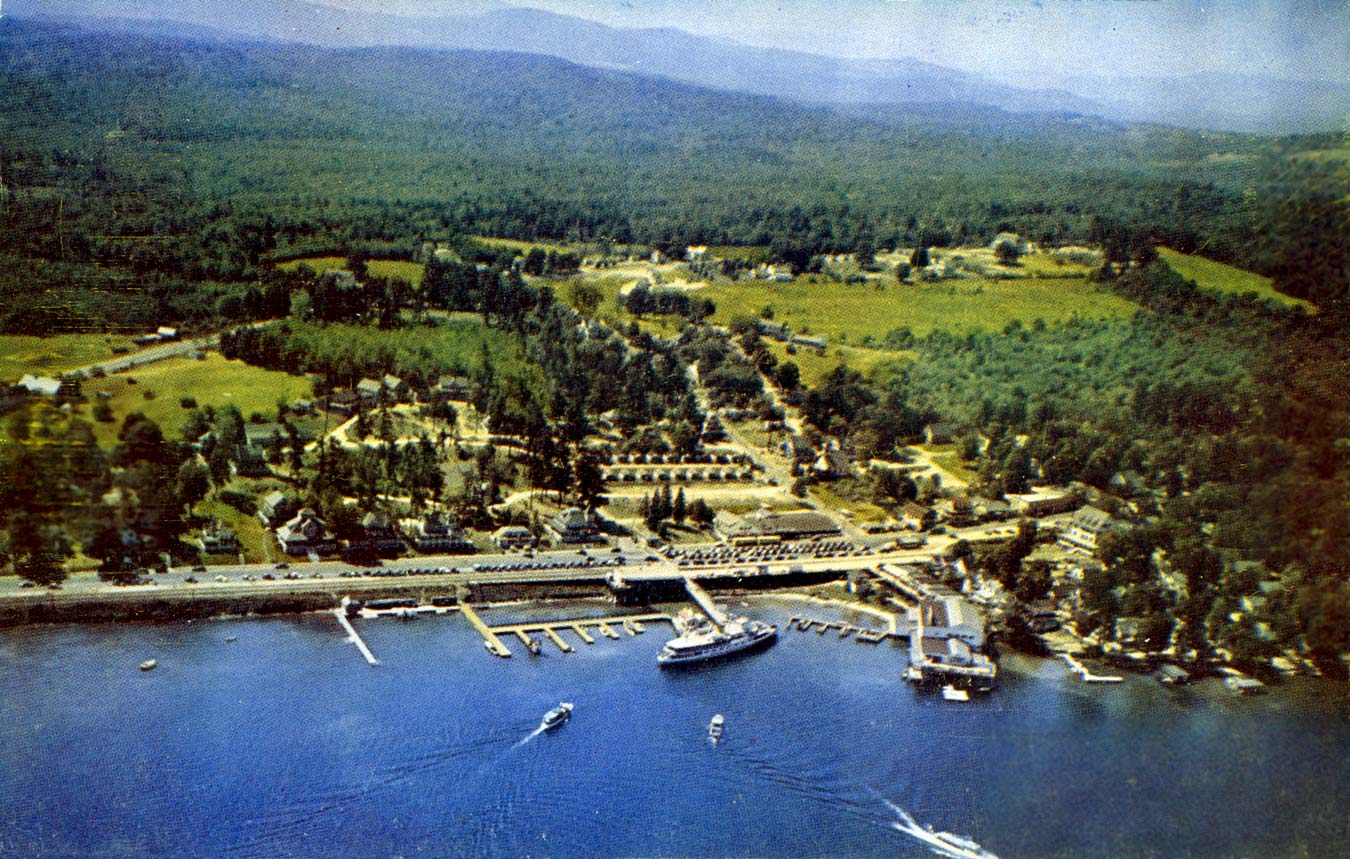
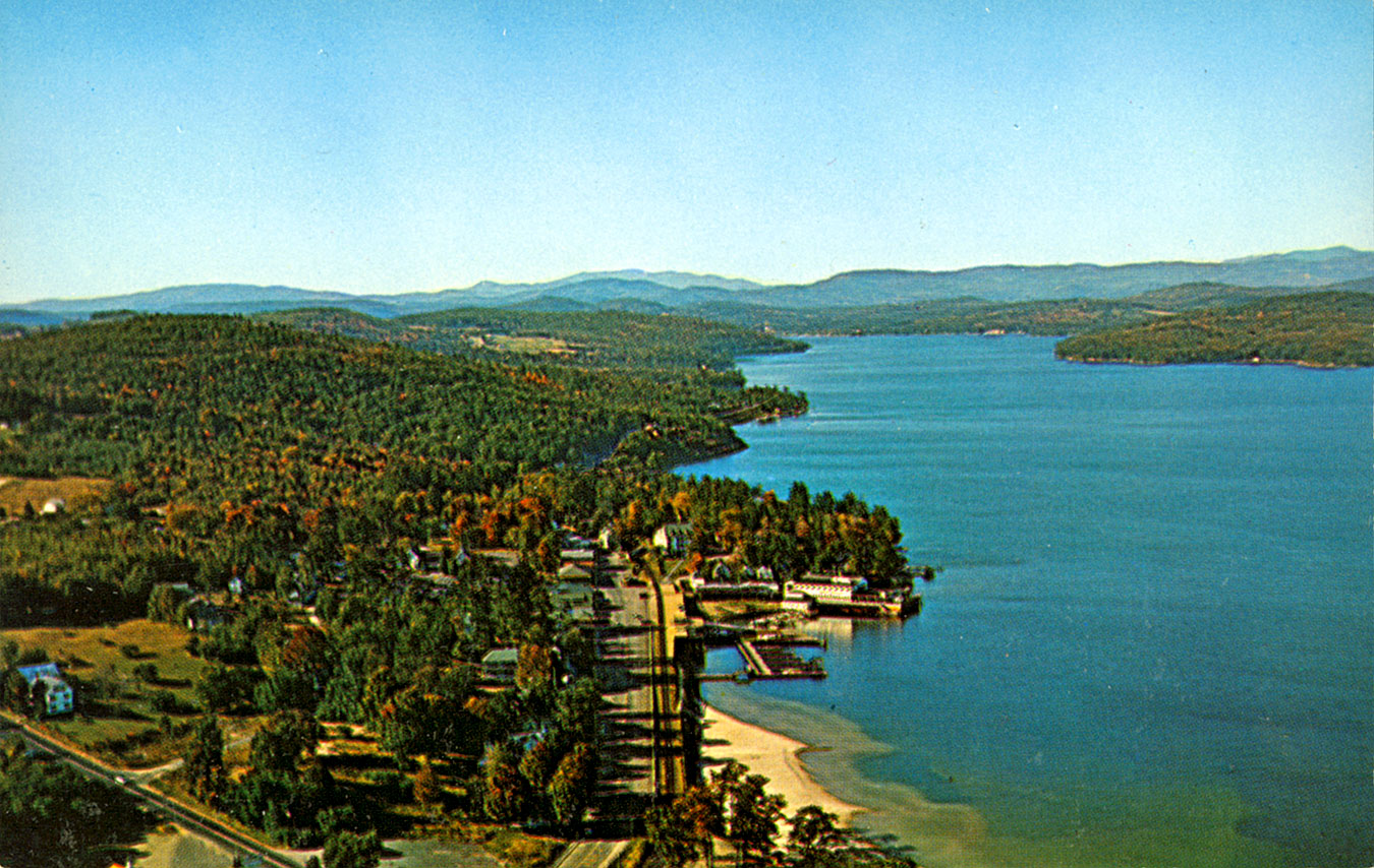
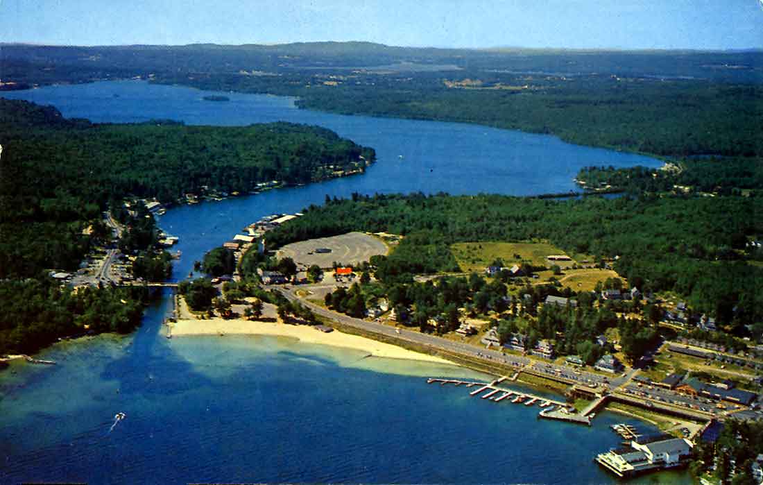
Weirs Beach Farmhouse

The above aerial photo was the cover of the 1963 Lakes Region Where-To Guide. At the bottom center of the photo is the 14-room farmhouse with attached barn that belonged to Elsie Floyd Davis. Her family, the Floyds, had owned the property for four generations. The farm raised pigs and cows, selling the cream to a Boston dairy, and feeding the milk to the hogs. It later became the Shady Lawn B&B and a rooming house. The farmhouse was full of antiques, but unoccupied when it burned down on September 2, 1999. Elsie Floyd Davis passed away only two months later, on October 31, 1999, in Sarasota, FL. She was 101 years old at the time of her death. As of 2022, the land is still vacant and used as a parking lot during Laconia Motorcycle Week.
The farmhouse had once served as a stagecoach stop, tavern, and post office, when it was known as Gordon’s. According to Edgar Wilcomb, the structure featured “huge hand-hewed timbers and capacious chimneys. Its ancient roof has harbored important personages, who were wont to make brief stops on their way northward in old stagecoach days. Captain Gordon was postmaster for a time and received the mail three times a week by stage from Portsmouth and Dover, which was then considered remarkably good service.” Like the subsequent Floyds, the Gordon family had also owned the farmhouse for four generations. Captain Gordon, the original owner, had been a revolutionary war officer. His son, known as the “Squire”, took over the business, then passed it on to his son Moses, who passed it on to his three daughters.

1964
1964
1967
1967
1968
1963
1969
1970’s-2010’s
1975

1988

1990

1998

2004
Aerial of Weirs Beach taken on a busy day during Motorcycle Week.

2020’s
The 2020s introduced a new twist to the aerials of Weirs Beach. All of the Weirs Beach aerials taken in the previous years, from 1924-1998, were taken by a photographer hanging out the door, or through an open window, of an airplane or helicopter. In the 2020s, for the first time, aerial photos were taken by drone.
2023
Aerial drone photo of Weirs Beach by John Gisis.

2023
Aerial drone photo of Weirs Beach by Allen Luther.

Aerial drone photo taken during the Biketemberfest event in September 2022. Unknown photographer.

Aerial of the Weirs Channel, circa 2025.
