Loch Haven Inn
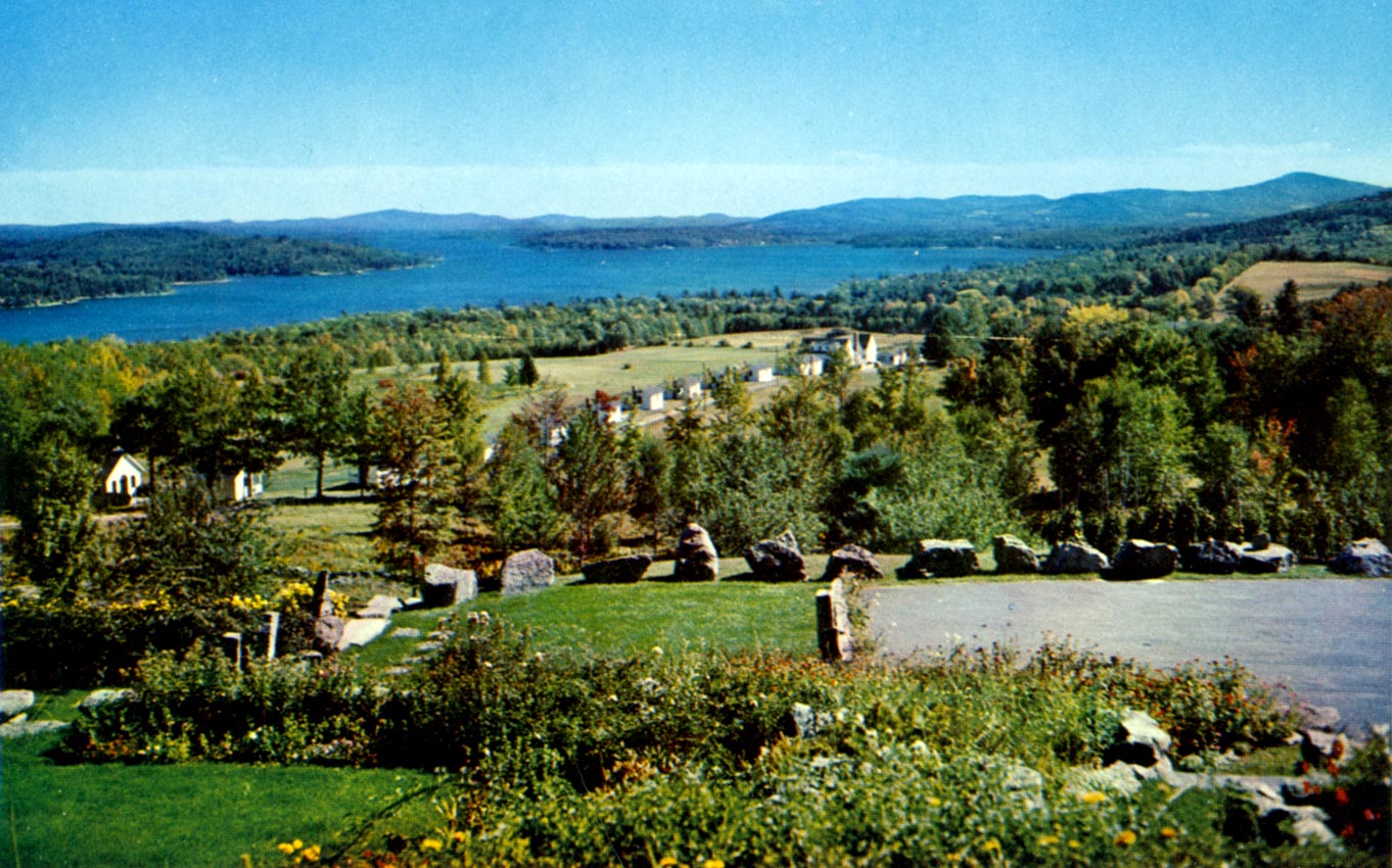
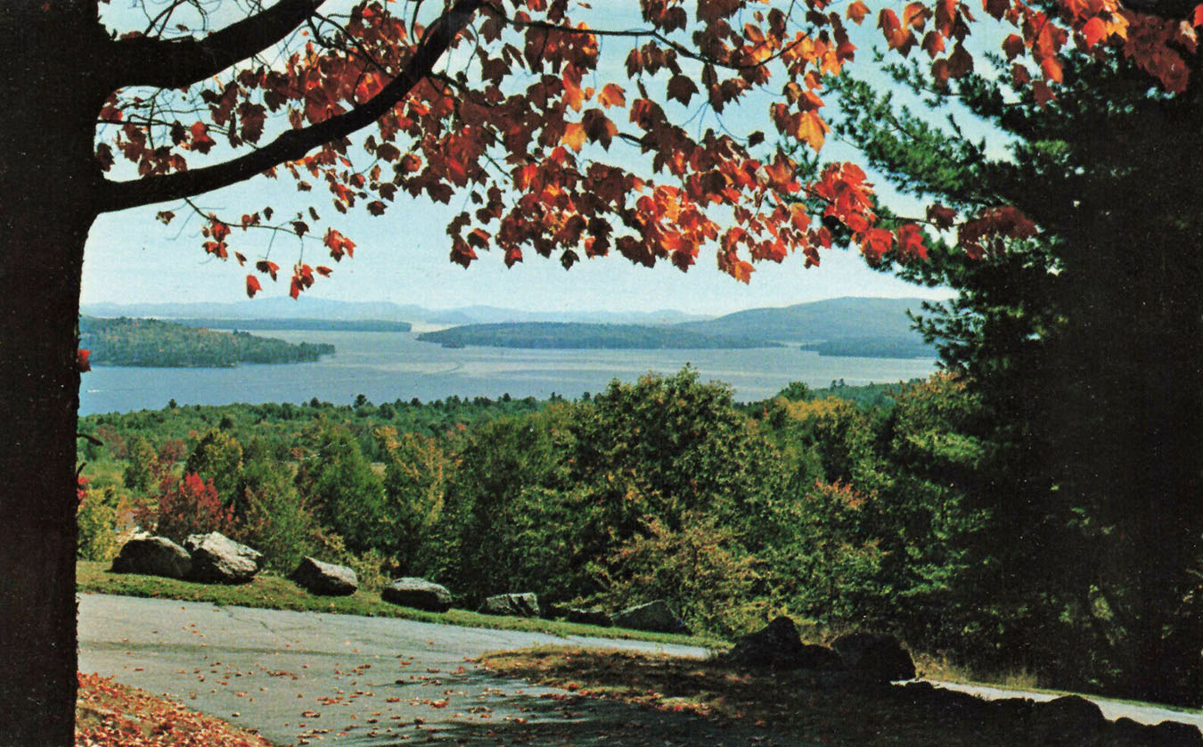
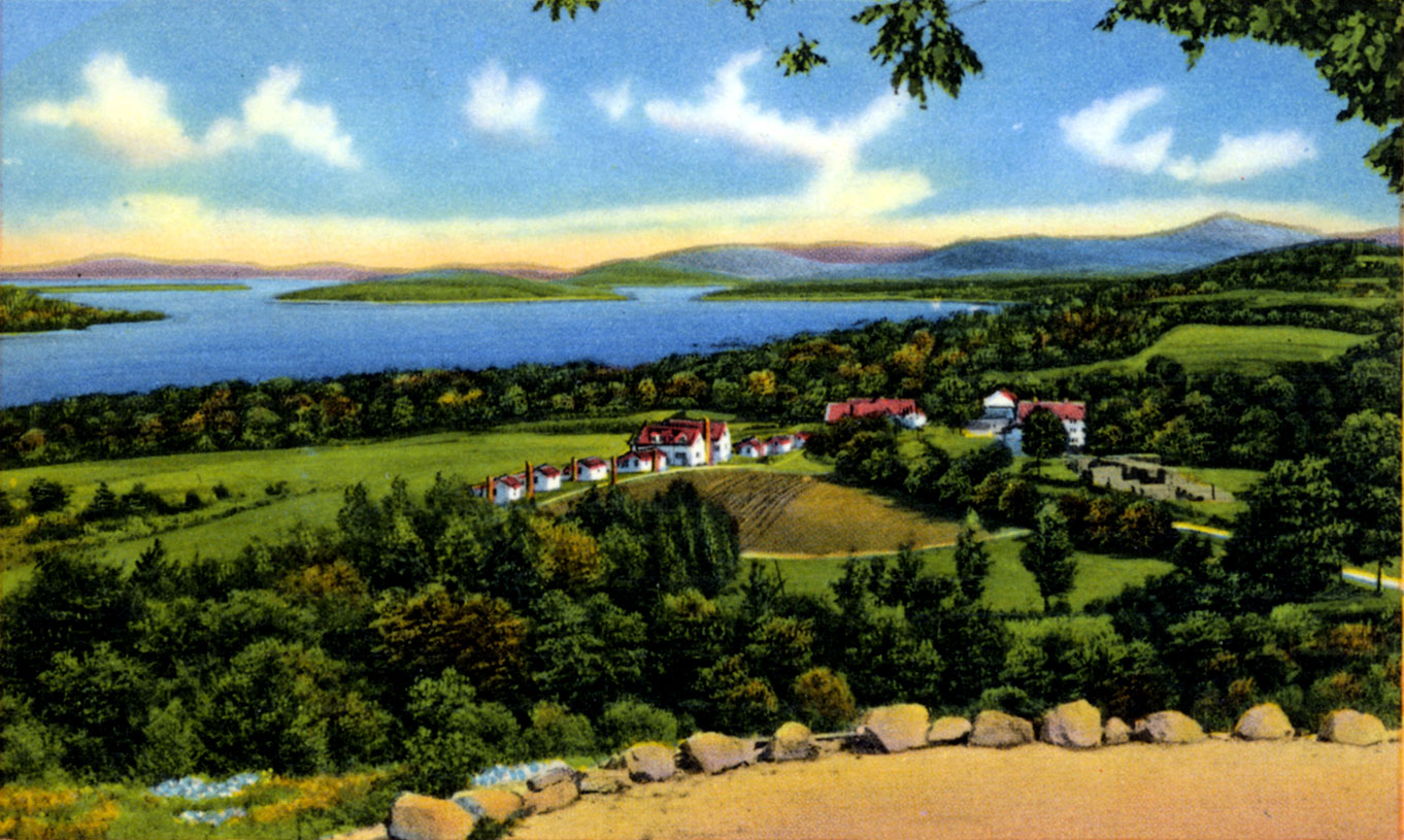
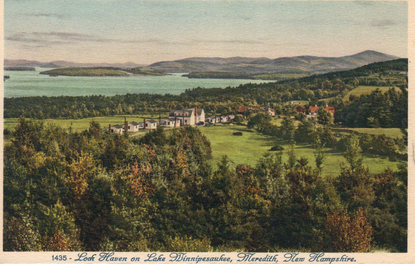
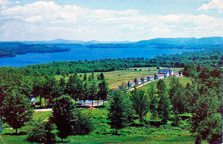
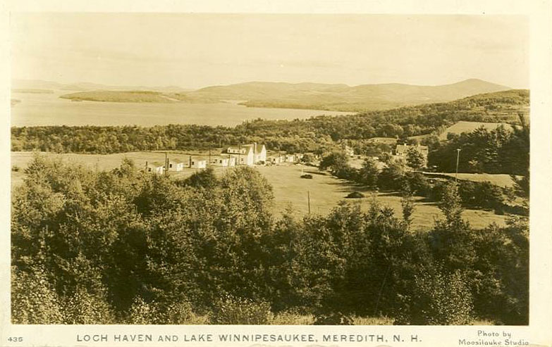
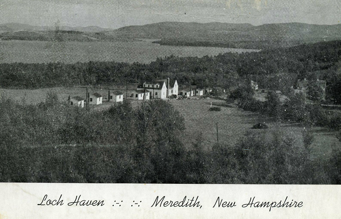
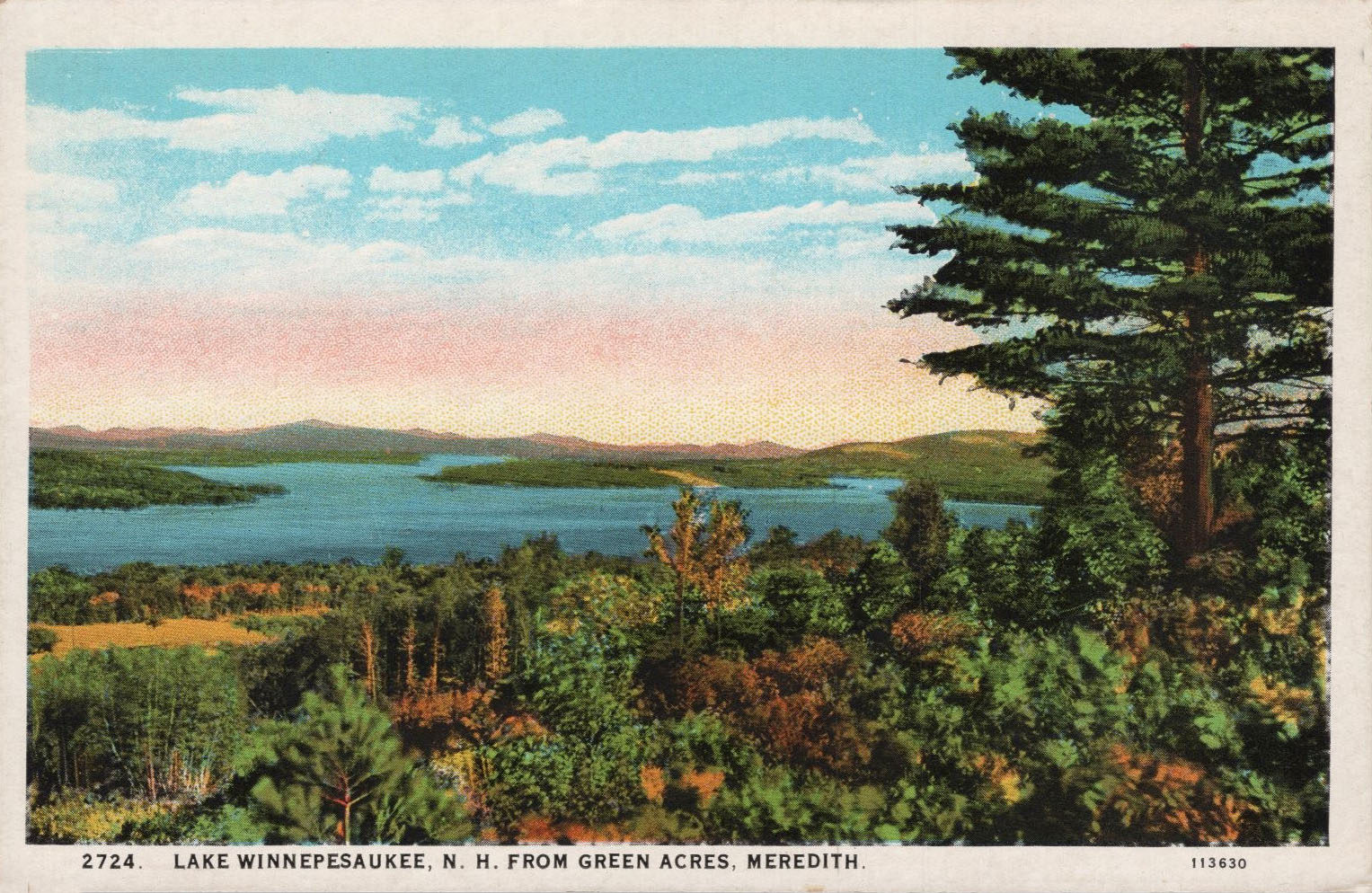
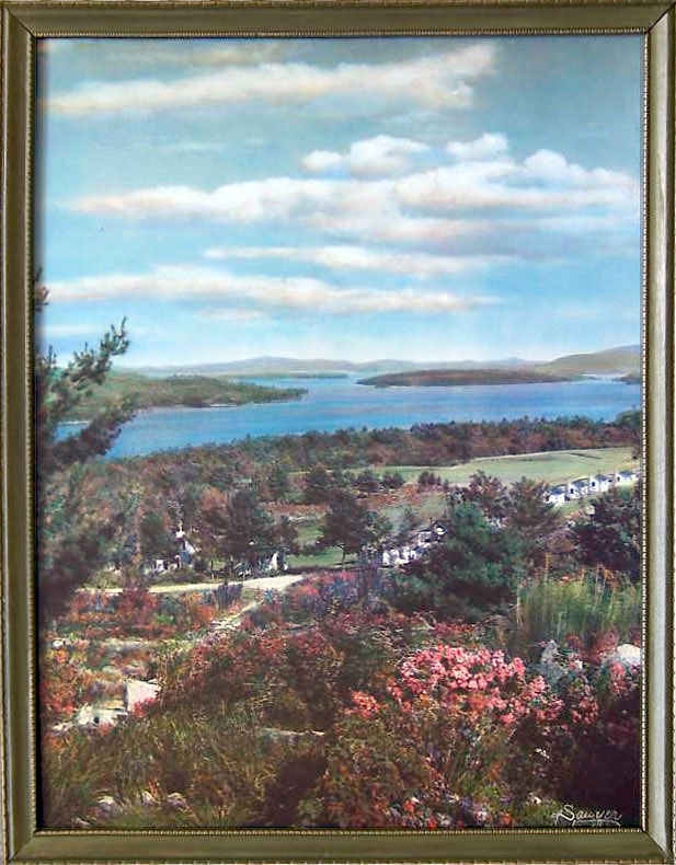
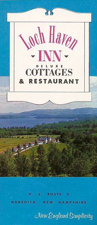
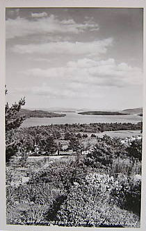
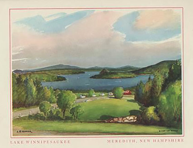
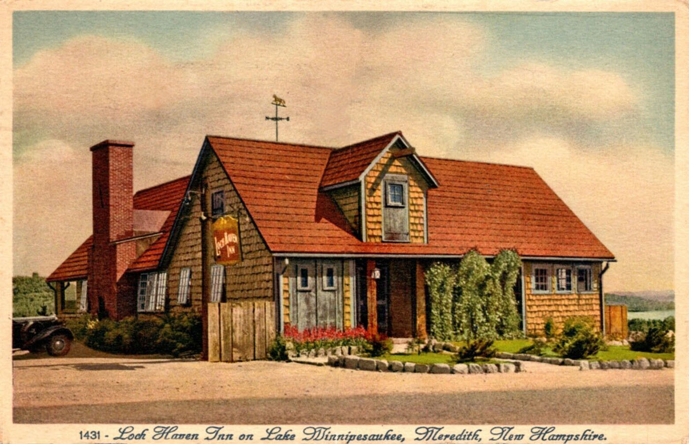
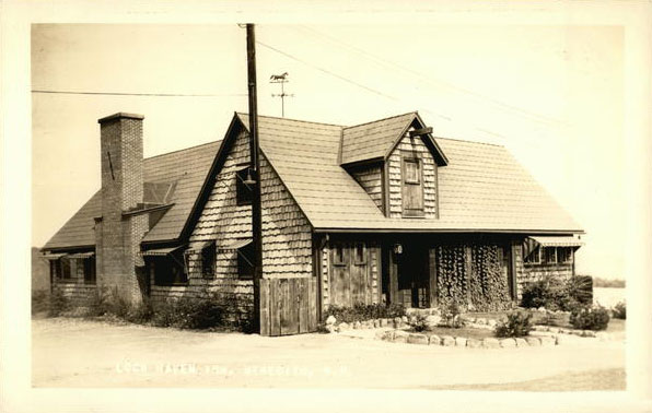
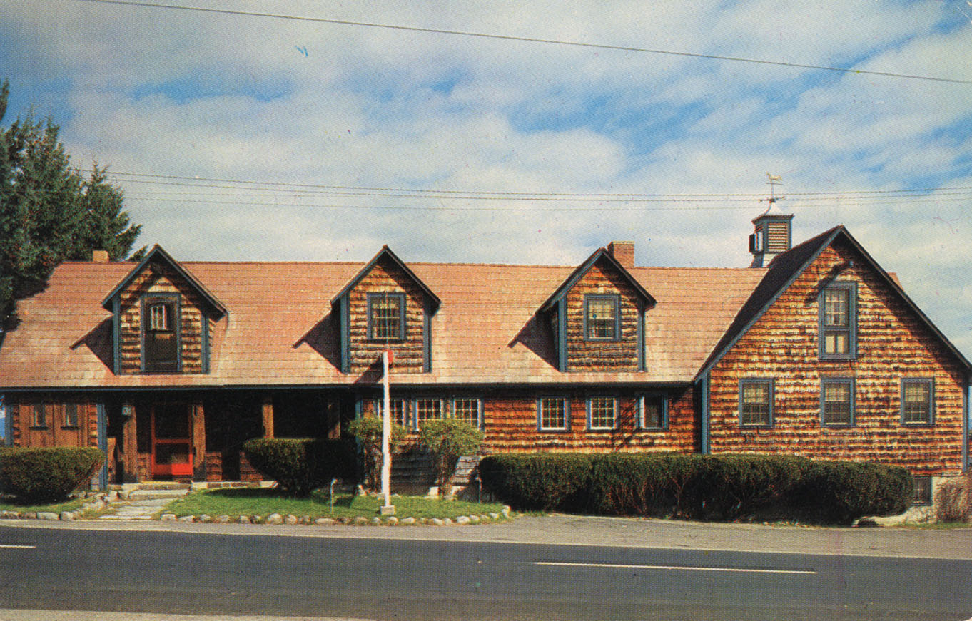
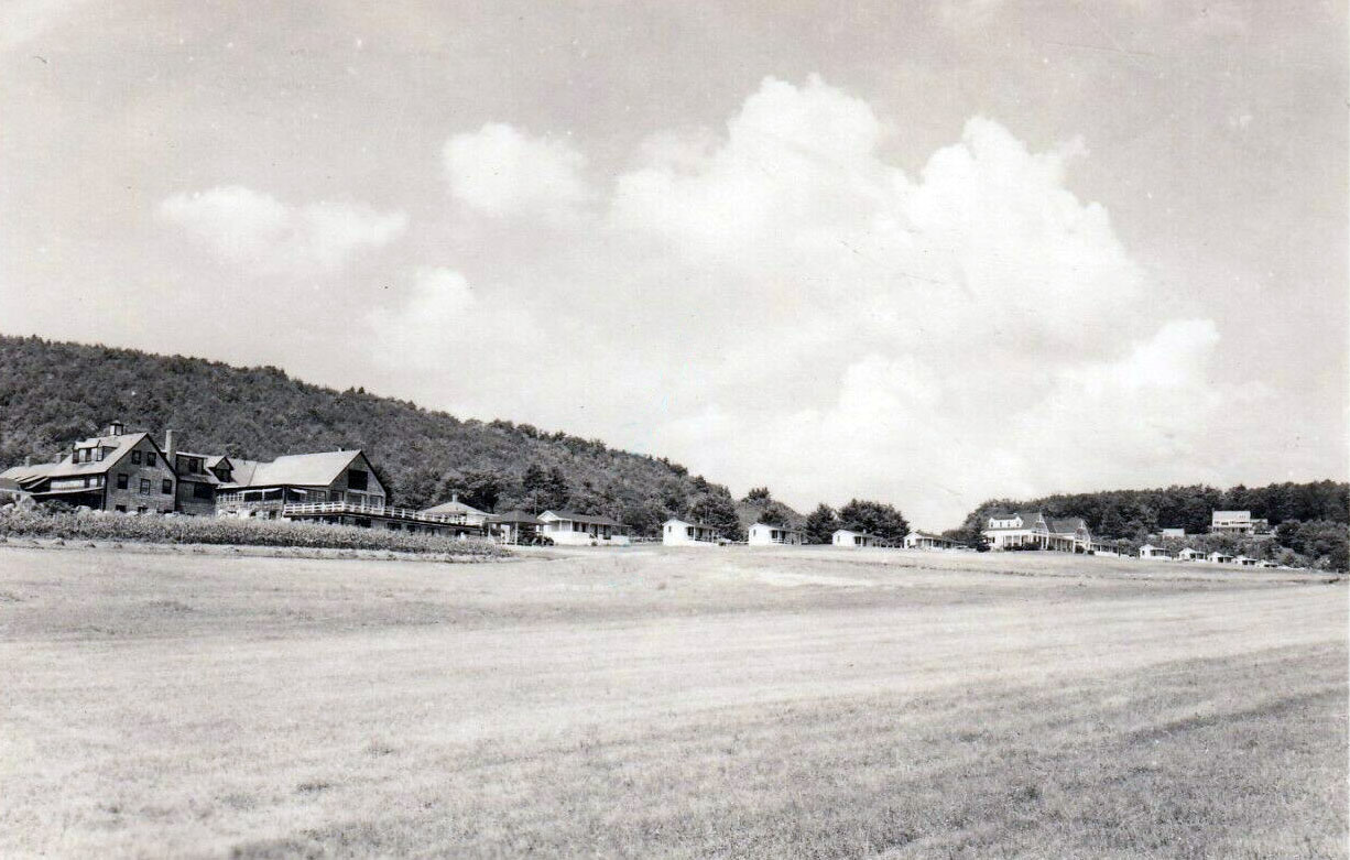
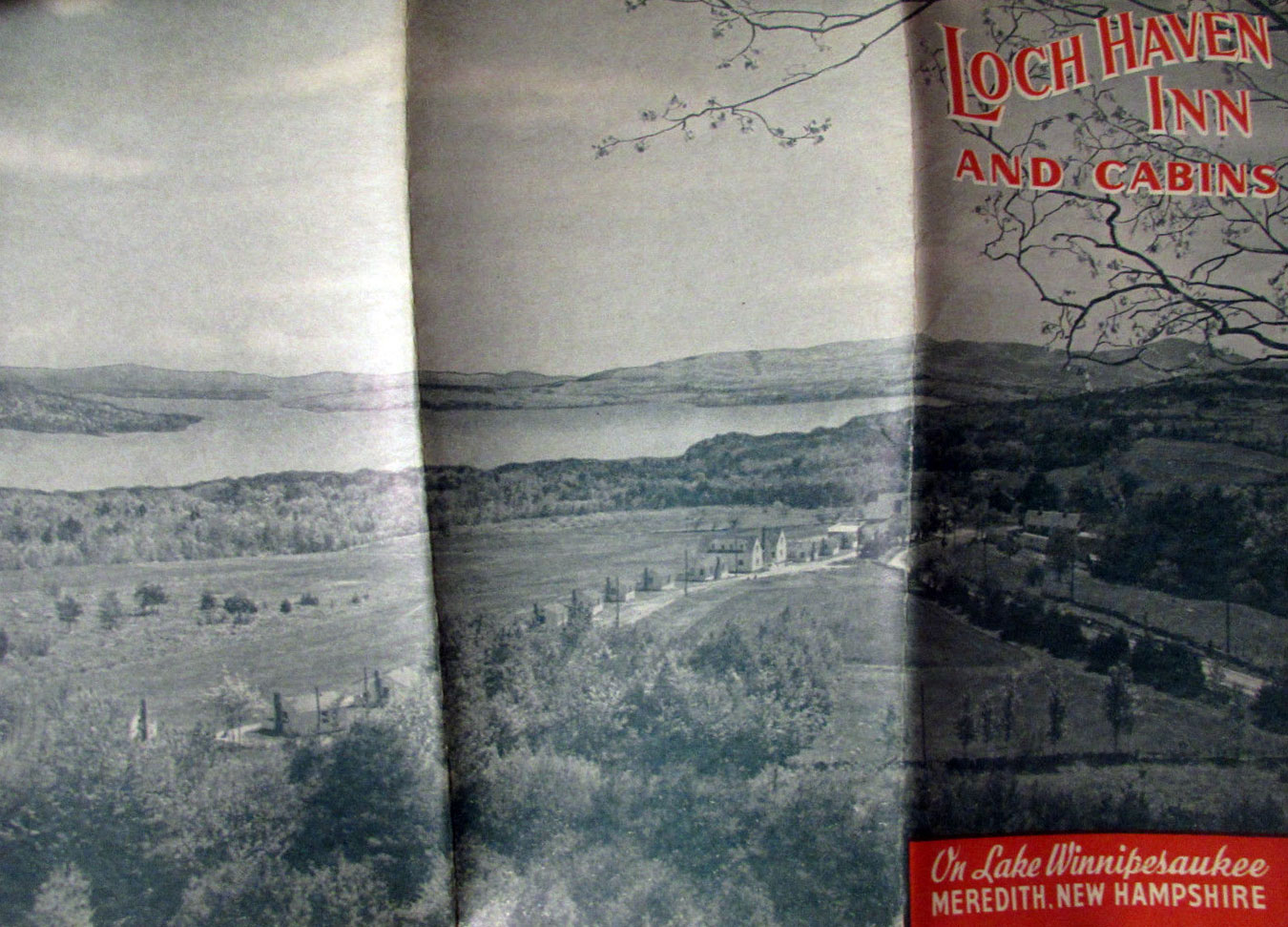
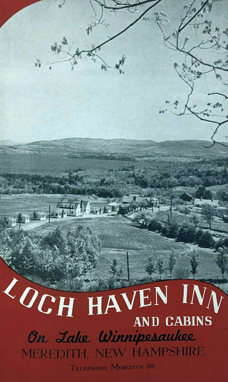
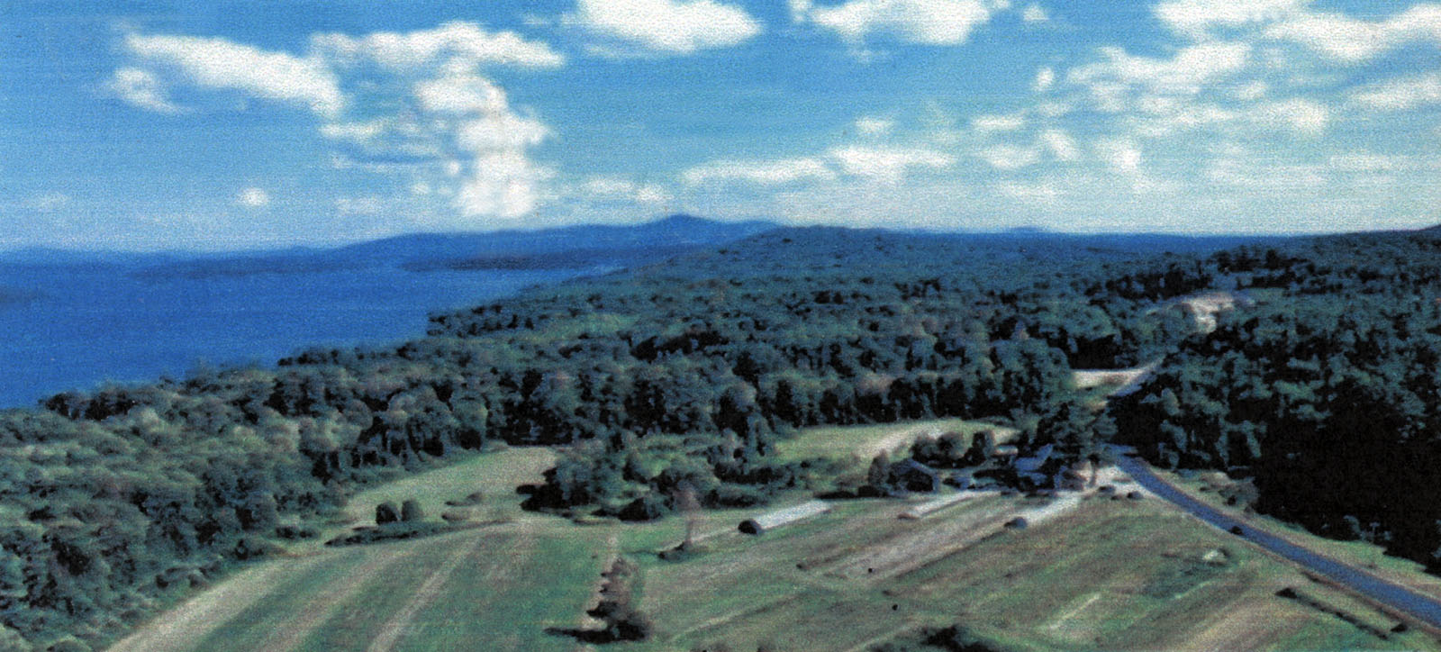
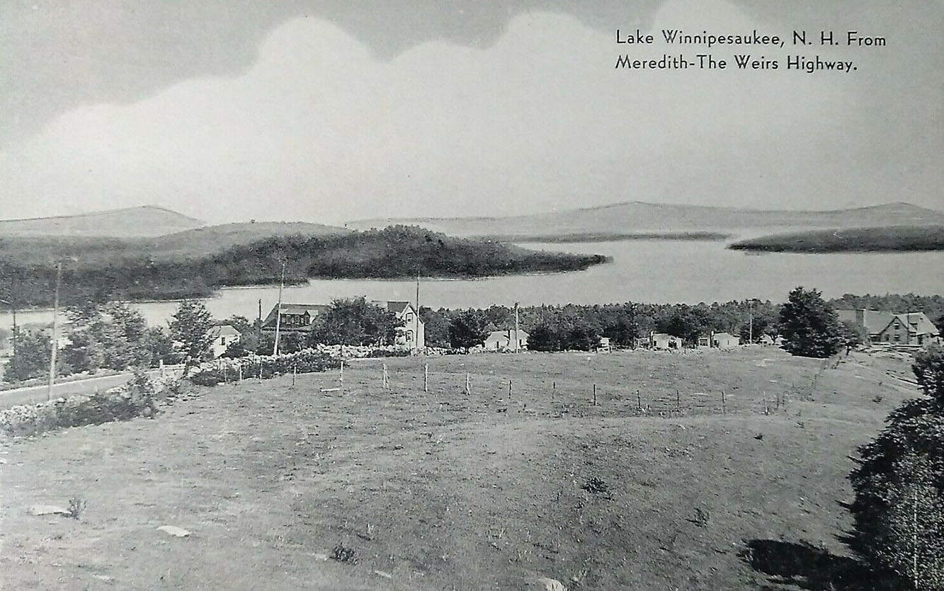
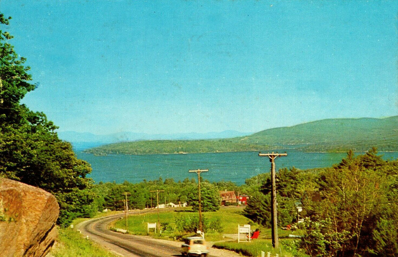
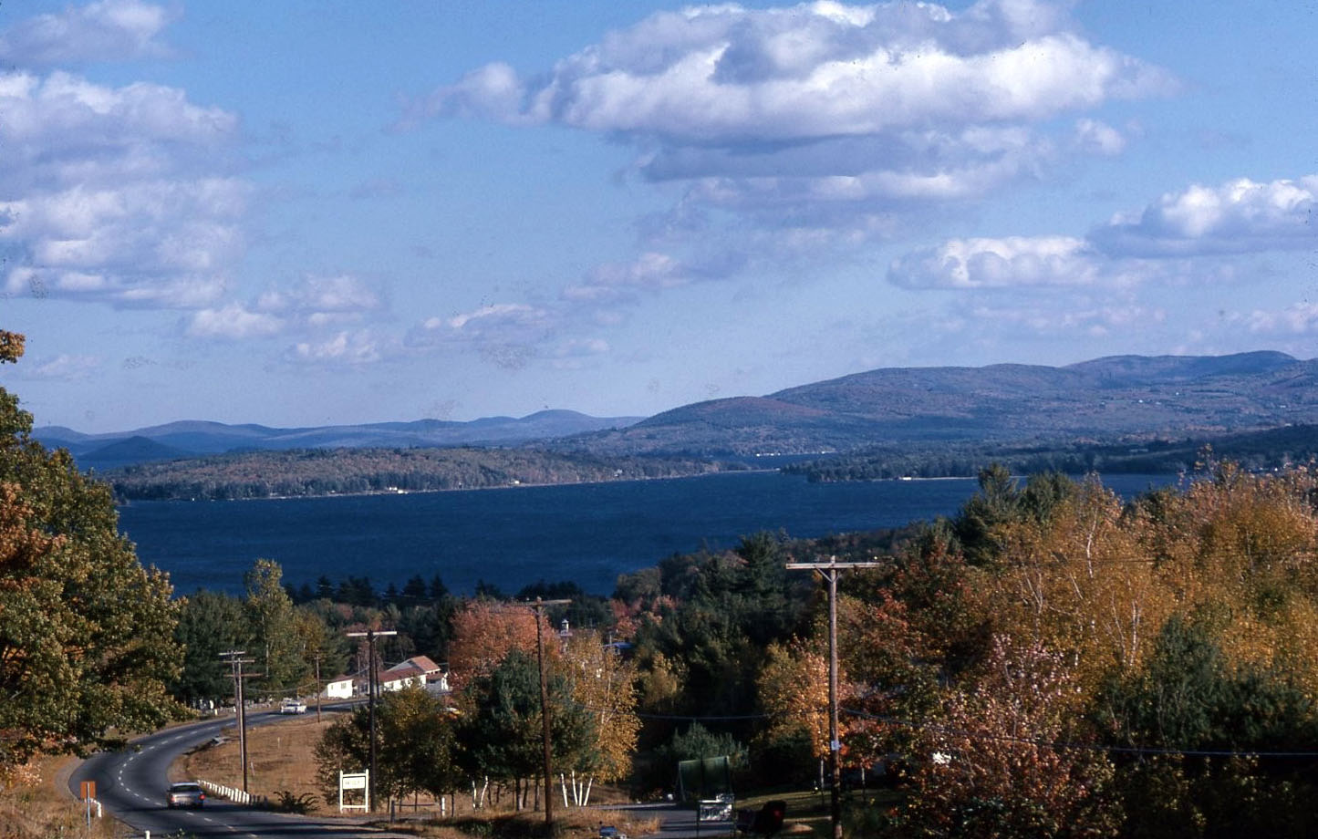
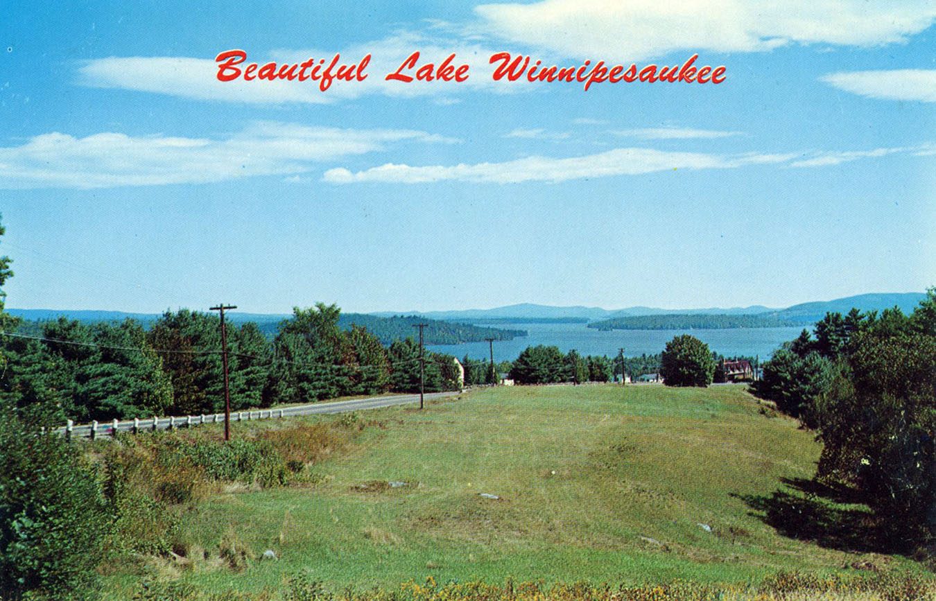
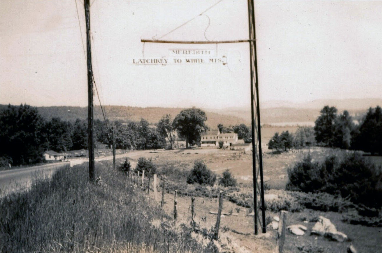
The following postcard views, taken from the top of a nearby hill, show the former Loch Haven Inn & Cottages, located on Route 3 (Daniel Webster Highway) in Meredith, in the foreground, and Meredith Bay and the Belknap Mountains in the background. The 150 acre resort opened in 1933. From 1946-1959, the facility served as a conference center for the Massachusetts Episcopal Diocese. On July 1, 1959, the facility once again became a resort, with a 15 room lodge, an 8-bedroom cottage, a restaurant, and 18 individual cottage units. On March 13, 1966, the Inn burned down in a fire. The Laconia Citizen reported that “Owner Mrs. Eveline Contigiani and her son, Charles, nine, were able to escape from living quarters in the Inn after being awakened by the barking of their poodle.” Around 1980, more than half (82 acres) of the original acreage of the resort was sold, and it became the Grouse Point Club private housing development. The rest of the land was conserved. The Lodge (see below) was converted to the Burlwood Antique Center, which had about a 30 year run before it became the current Longview Country Store. Many of the Cottages were improved, enlarged and modernized and still exist today. The farm acreage was never actually part of Loch Haven. Seperately owned by a farm family since 1801, the farm was known as Longridge Farm until very recently, when it was renamed Picnic Rock Farm.
A 12″ x 15″ framed lithograph by Charles Sawyer Studios, circa 1950, entitled “Winnipesaukee Gardens”.
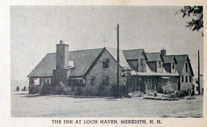
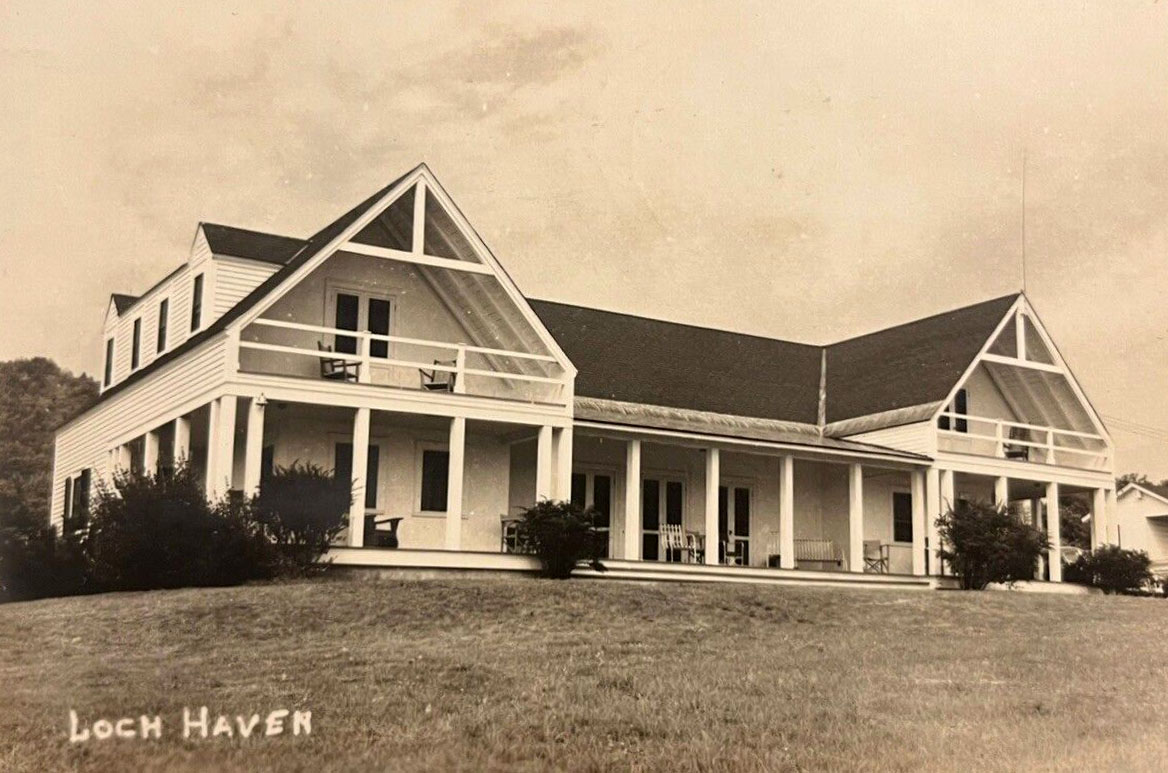
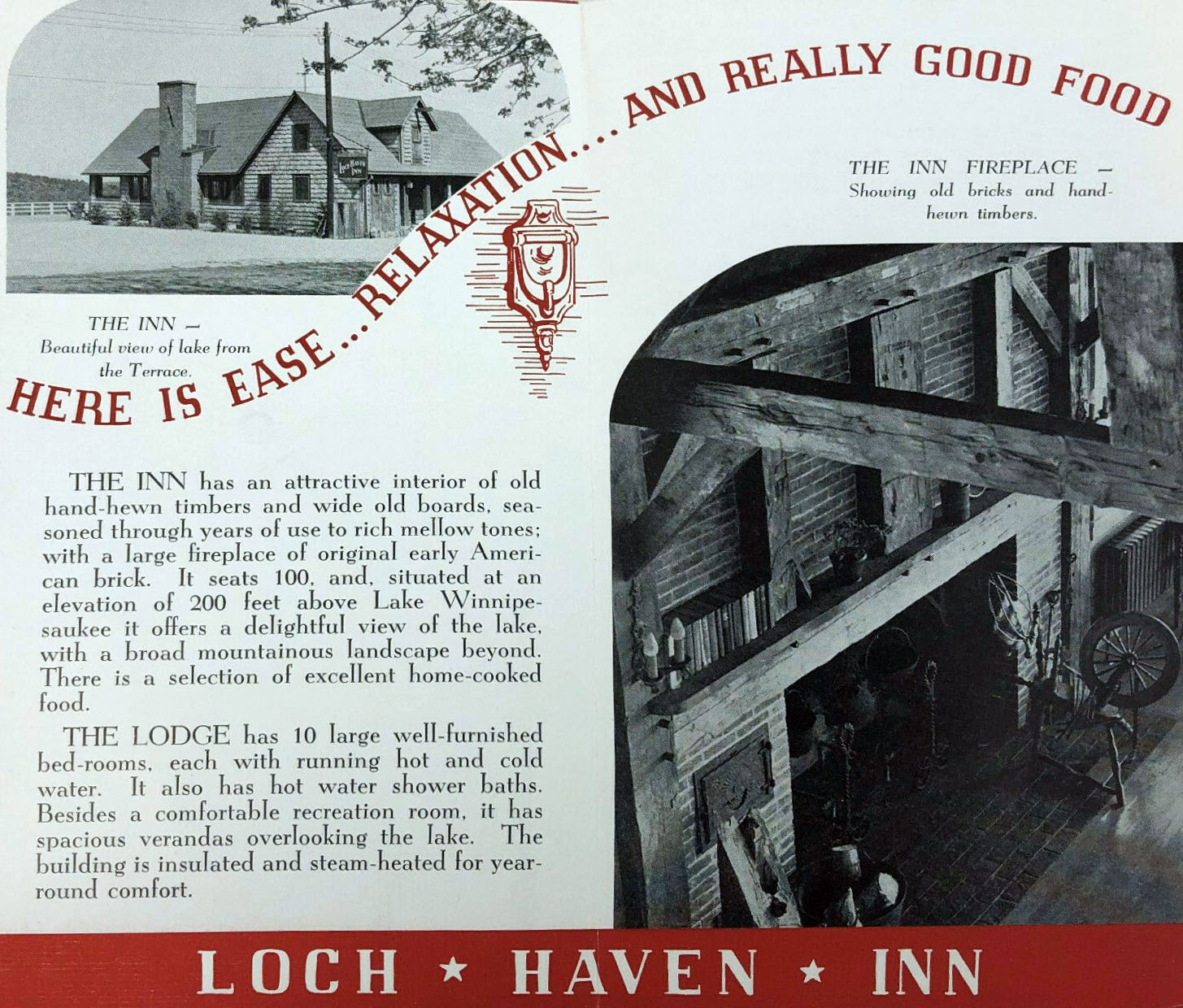
The Inn
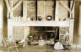
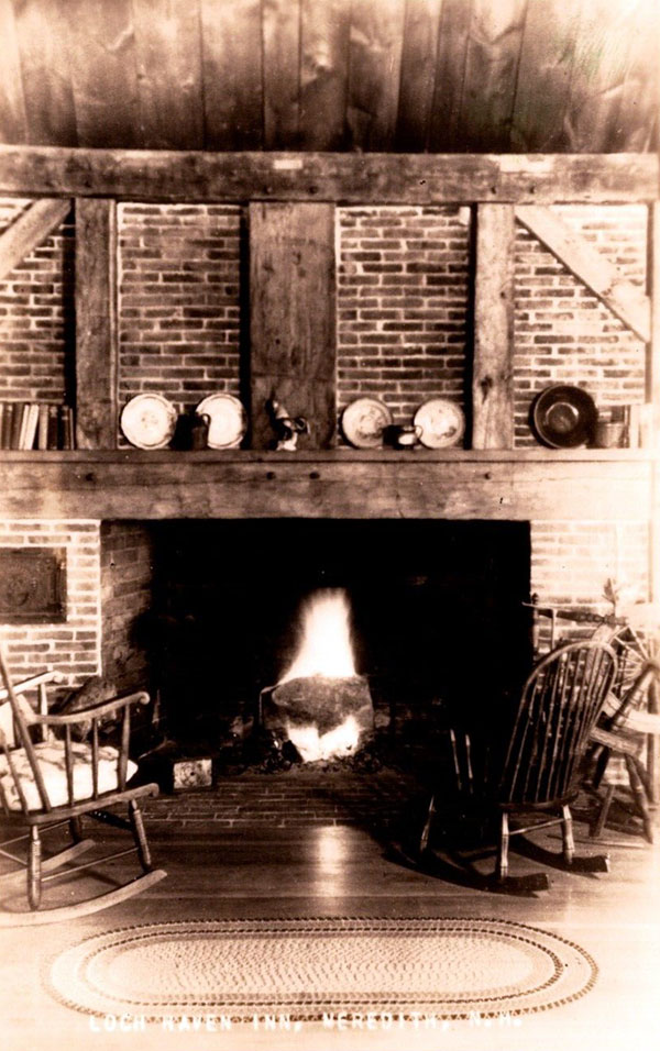
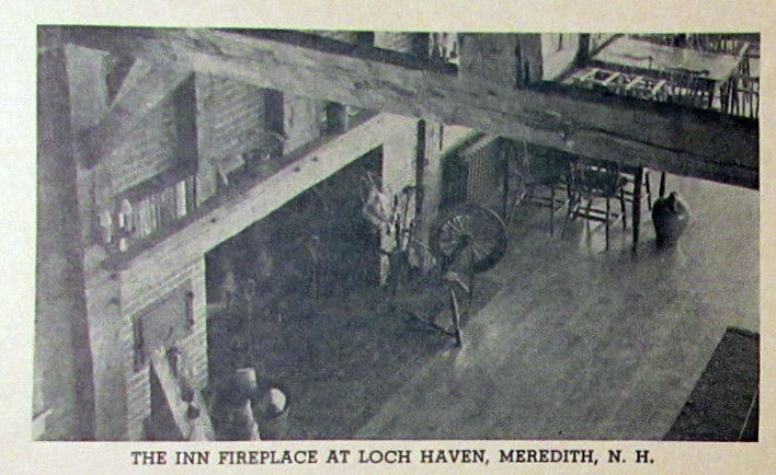
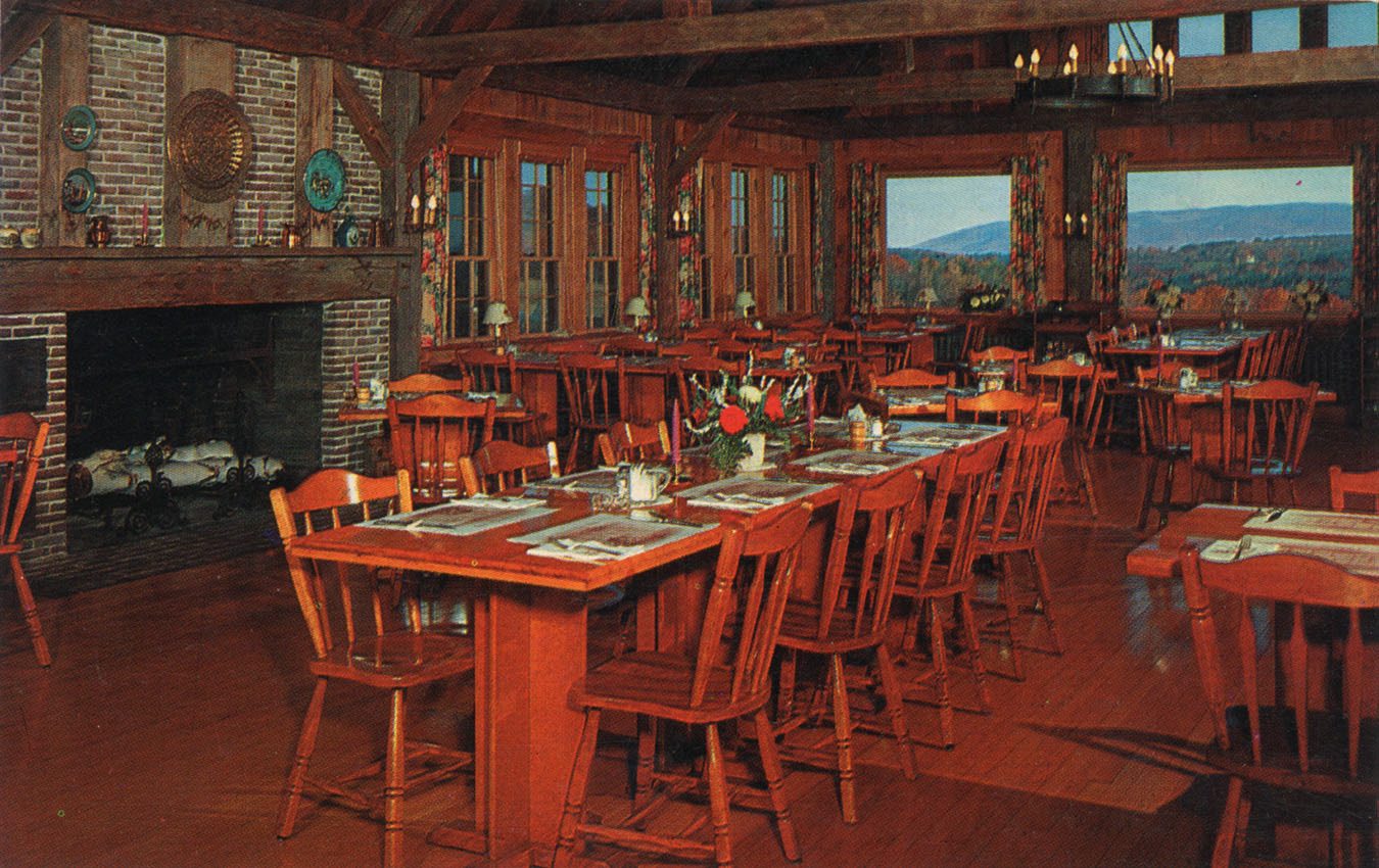
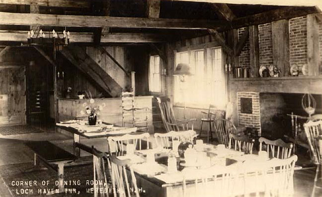
“The Inn has a charming interior of hand-hewn timbers and wide boards – also a large fireplace of early American brick. It seats 100 and serves excellent food.”
A similar photo to the previous shows the original Inn expanded greatly to the right, with two additional dormers and another structure (perhaps the dining room).
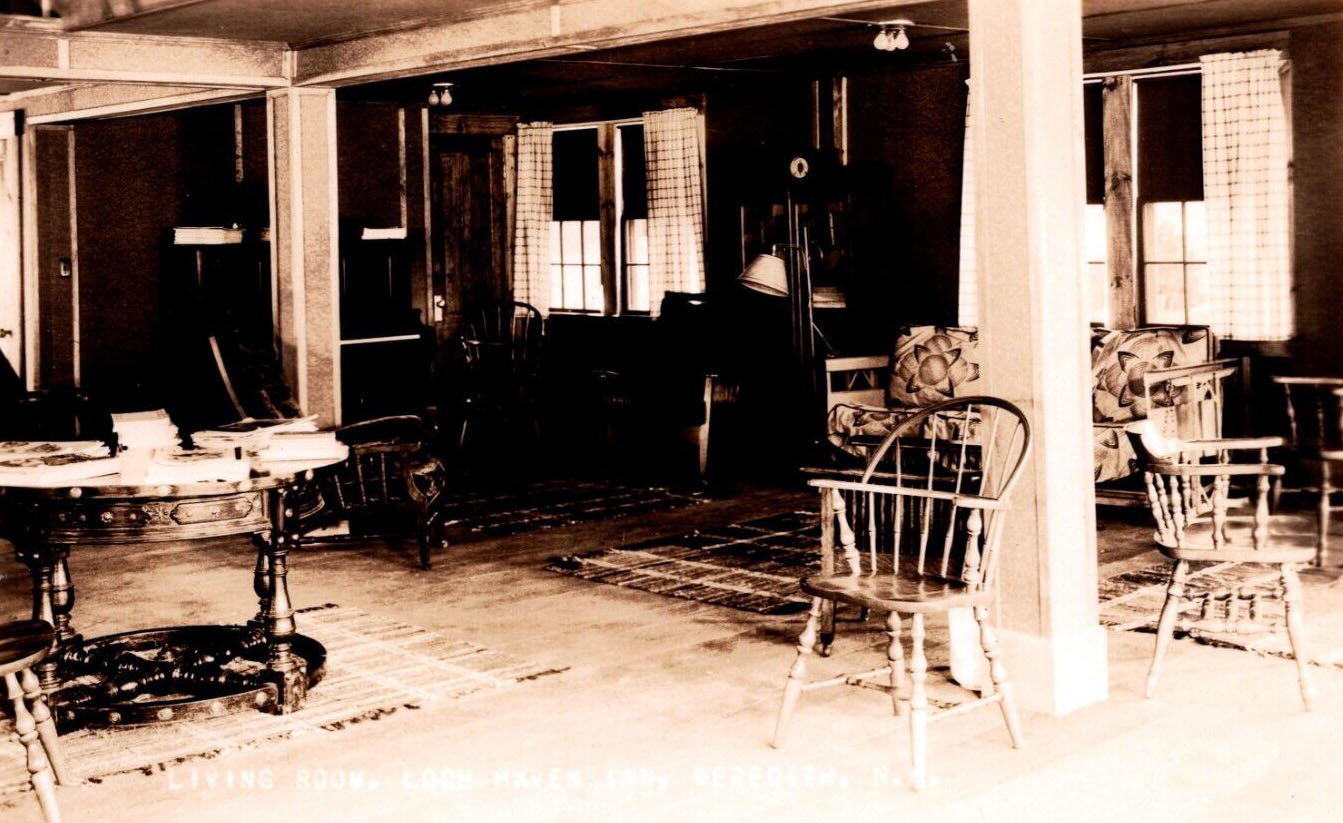
The fireplace and living room
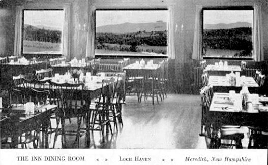
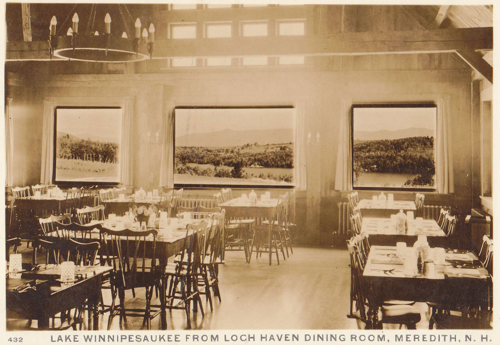
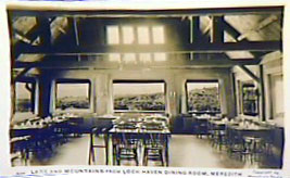
The Dining Room
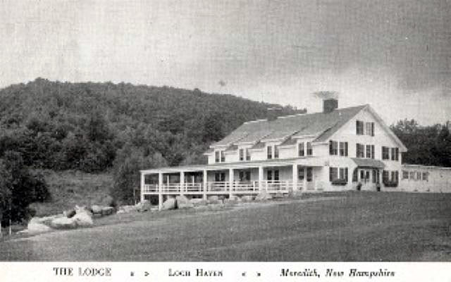
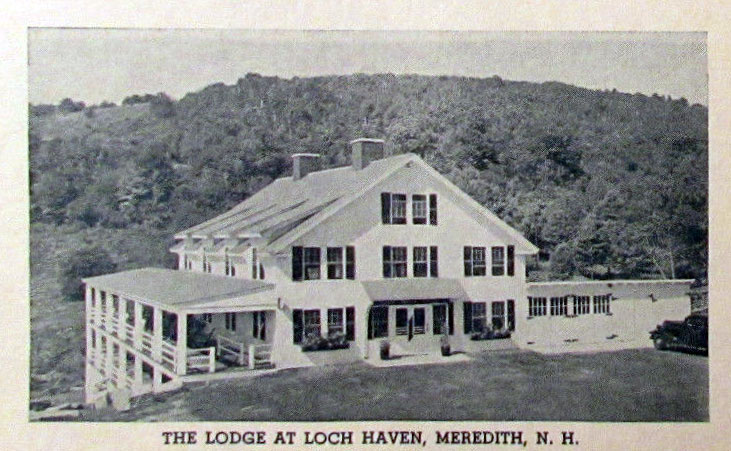
The Lodge
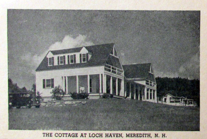
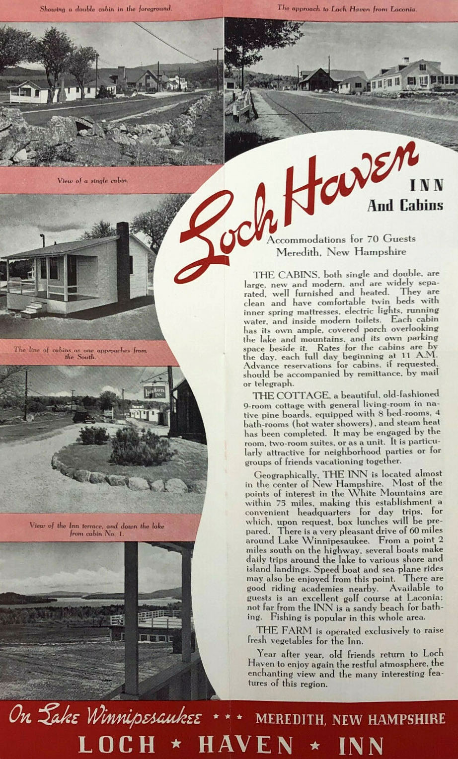
The Cottage
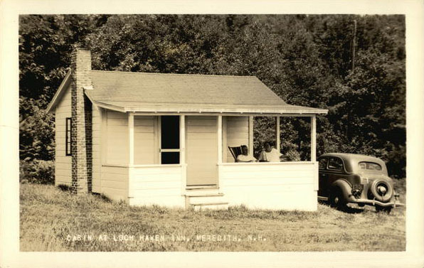
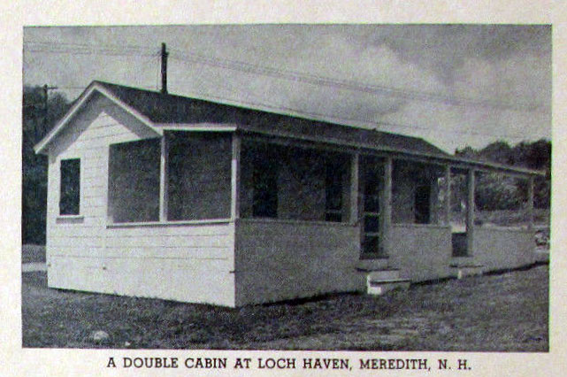
The Cabins
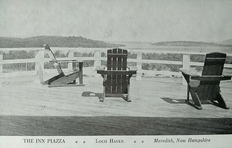
The Piazza
Looking up from the field at the Inn, one can see the large piazza.
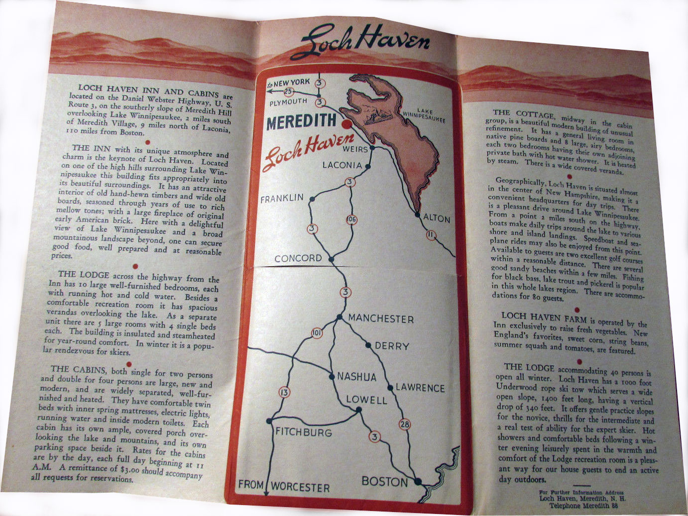
1940s Brochures
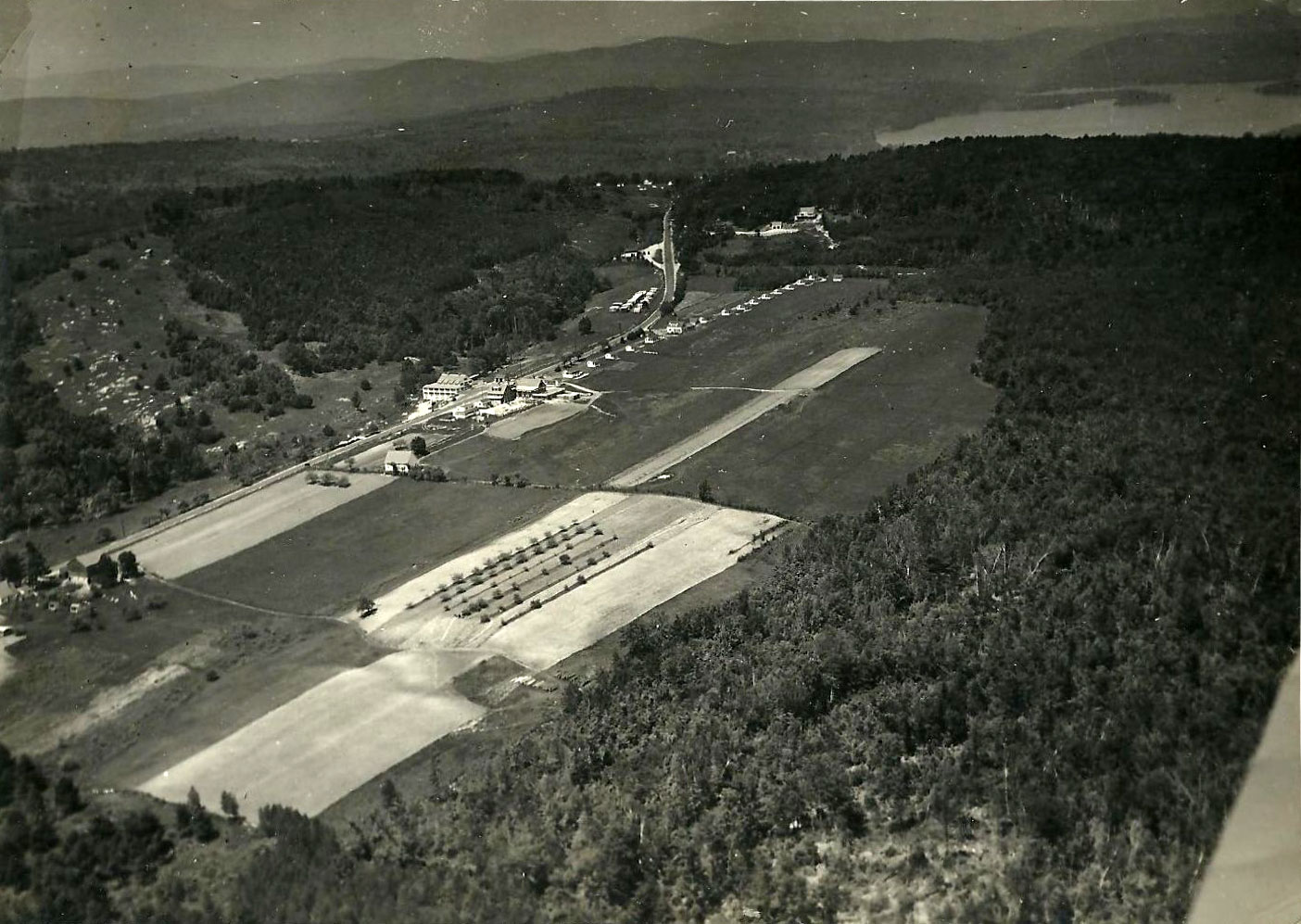
Loch Haven Aerial Photos
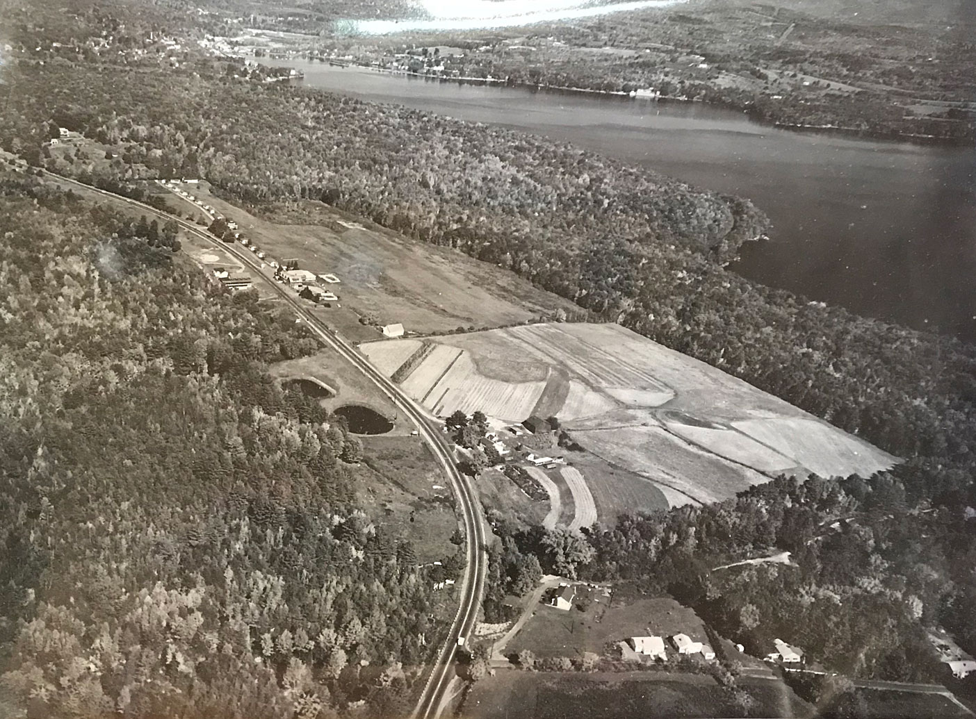
The following 1940’s aerial was taken by Harold Piper. The Lodge is seen clearly on the center left, with the Inn opposite; the Cottage is seen about halfway in the row of cabins. The large farm fields are obvious. The cleared hilllside on the far left of the photo was the ski slope, served by a rope tow that pulled guests uphill from close to the winterized Lodge.
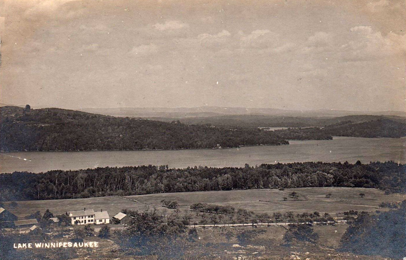
The farm in the 1920’s.
The Road Downhill to Loch Haven
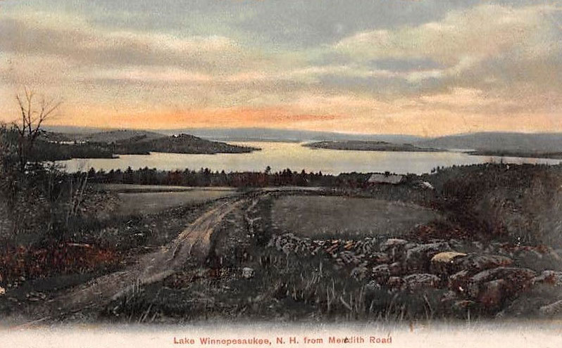
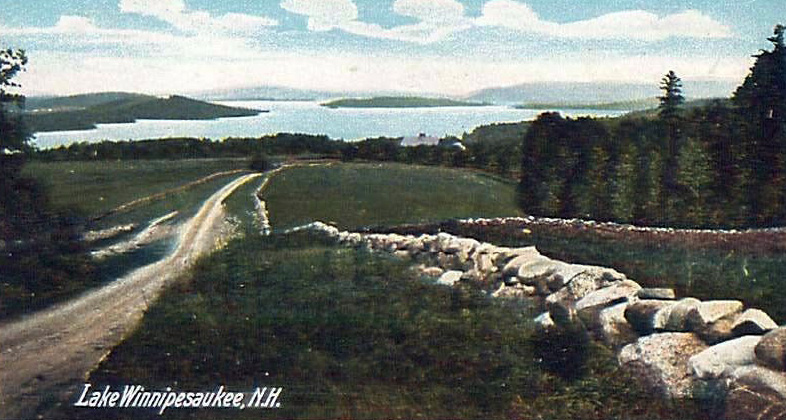
View from Meredith Road, precursor of Route 3, in the 1900’s-1910s. Islands on the left seem to match up well with the farm photo.
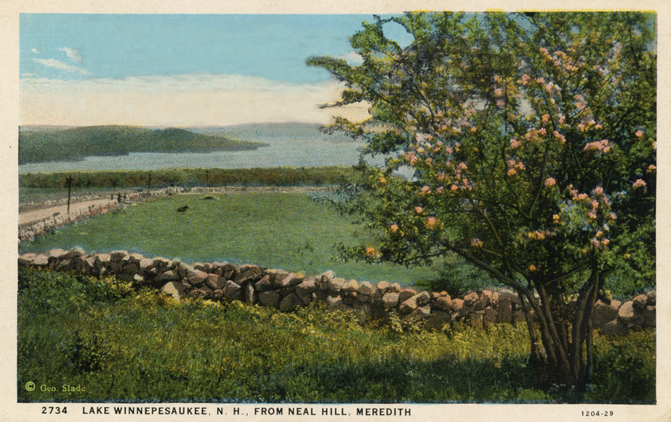
The view in the 1920’s. This white border postcard was postmarked in 1929, when the location was known as Neal Hill. It is no longer known by that name, but the Neal moniker is still in use for Neal Shore Road, which runs along Meredith Bay at the base of this hill.
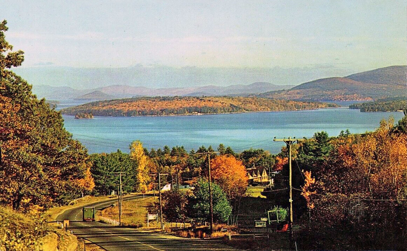
1950s photo, descending Meredith Hill on Route 3. The Loch Haven Inn is glimpsed at the bottom curve in the road.


