Fireworks

Music

Lake Winnisquam

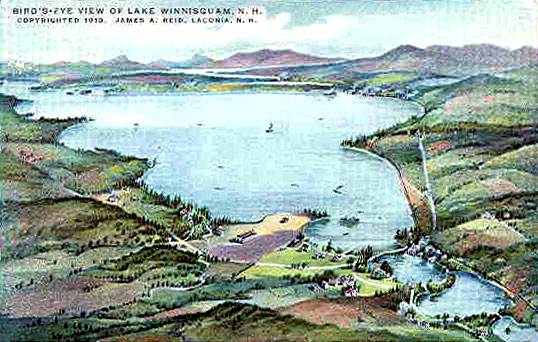
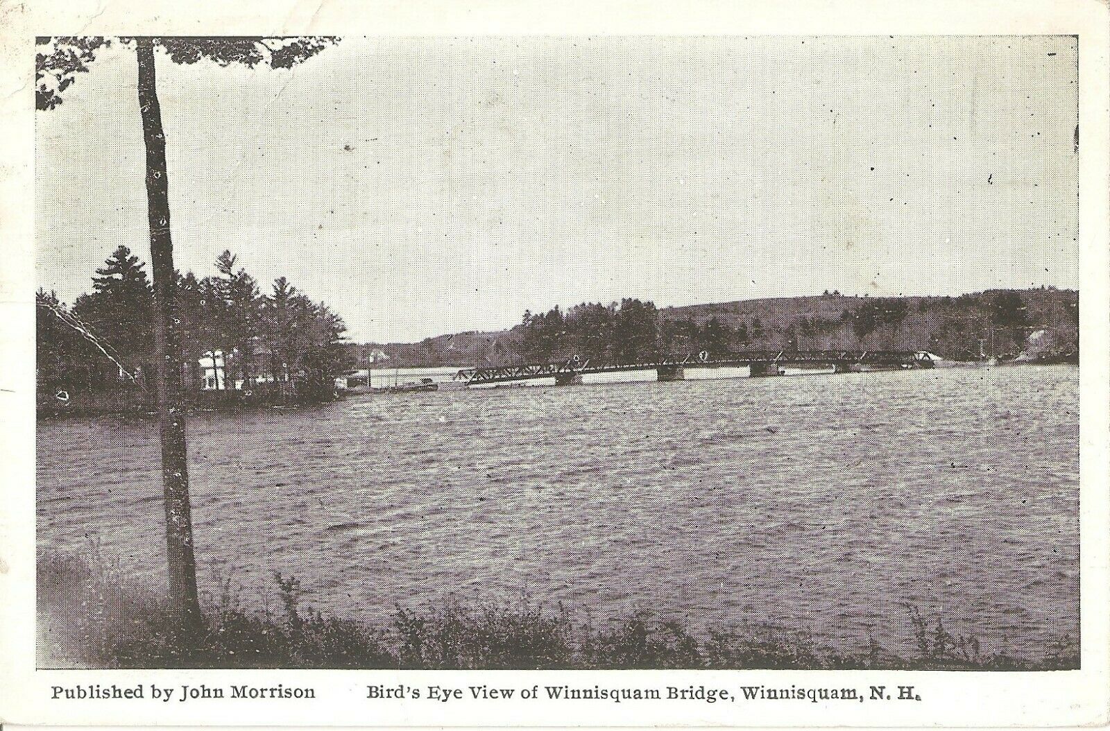
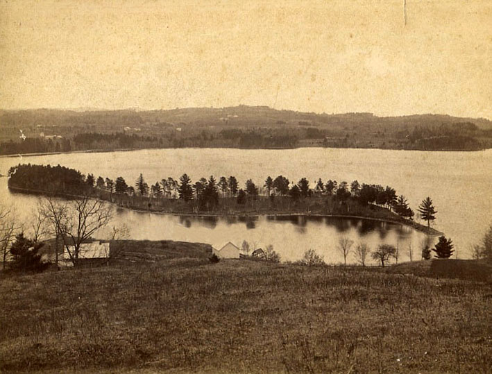
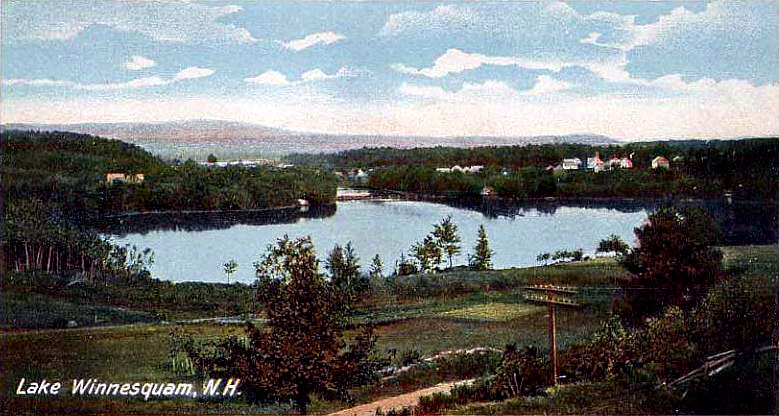
A 1910’s “bird’s-eye” view of Lake Winnisquam, before development, portrays a peaceful, bucolic scene.
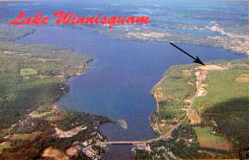
A 1970’s aerial view of Lake Winnisquam shows the location of the Belknap Mall (the arrow has been added to the postcard by the webmaster.)
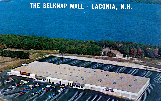
The Belknap Mall circa the mid 1970’s. The mall was built in 1974 and enlarged in 1991. Note how close to the Lake the mall is located. However, visitors to the mall have no inkling of the Mall’s proximity to the Lake, as it is well shielded by a narrow strip of forest. Contrary to the caption on the postcard, the mall is actually located in Belmont, not in Laconia. Laconia is another 1/2 mile to the east from the mall.

The Winnisquam Bridge

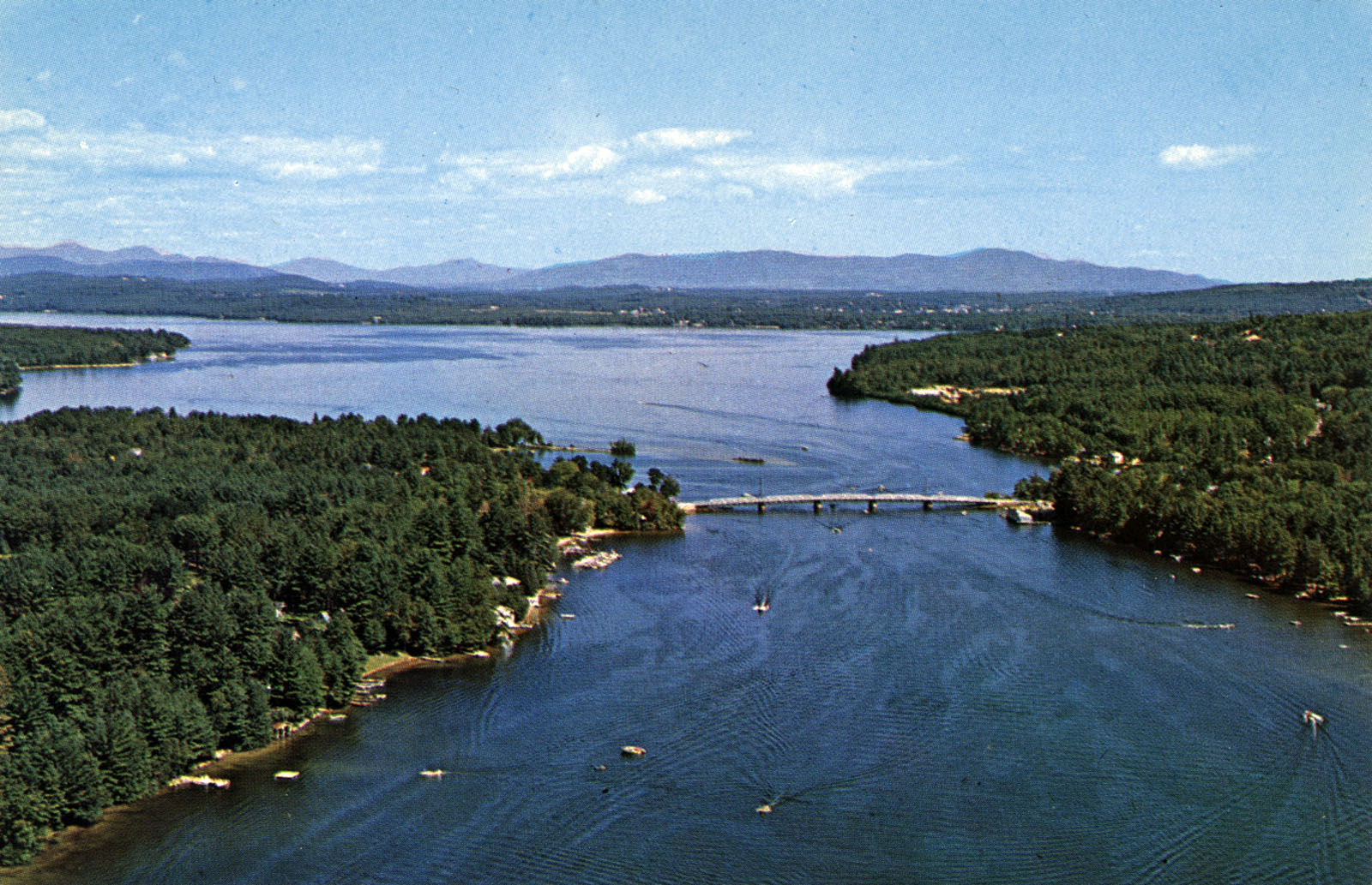
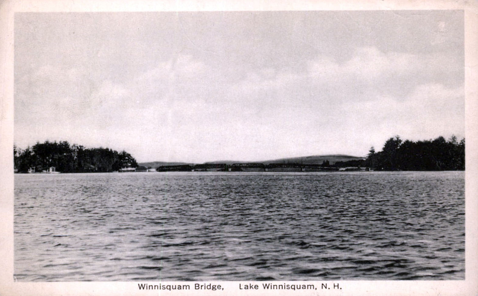
An aerial view of the Winnisquam bridge, looking north. The 1974 bridge was the third version of the bridge, and was redecked and repaved in 2006-2007 at a cost of about $3.5 million. The towns of Sanbornton and Tilton meet on the west side of the bridge (left side in this photo), with Sanborton to the north and Tilton to the south. On the east side of the bridge (right side in this photo) is the town of Belmont.

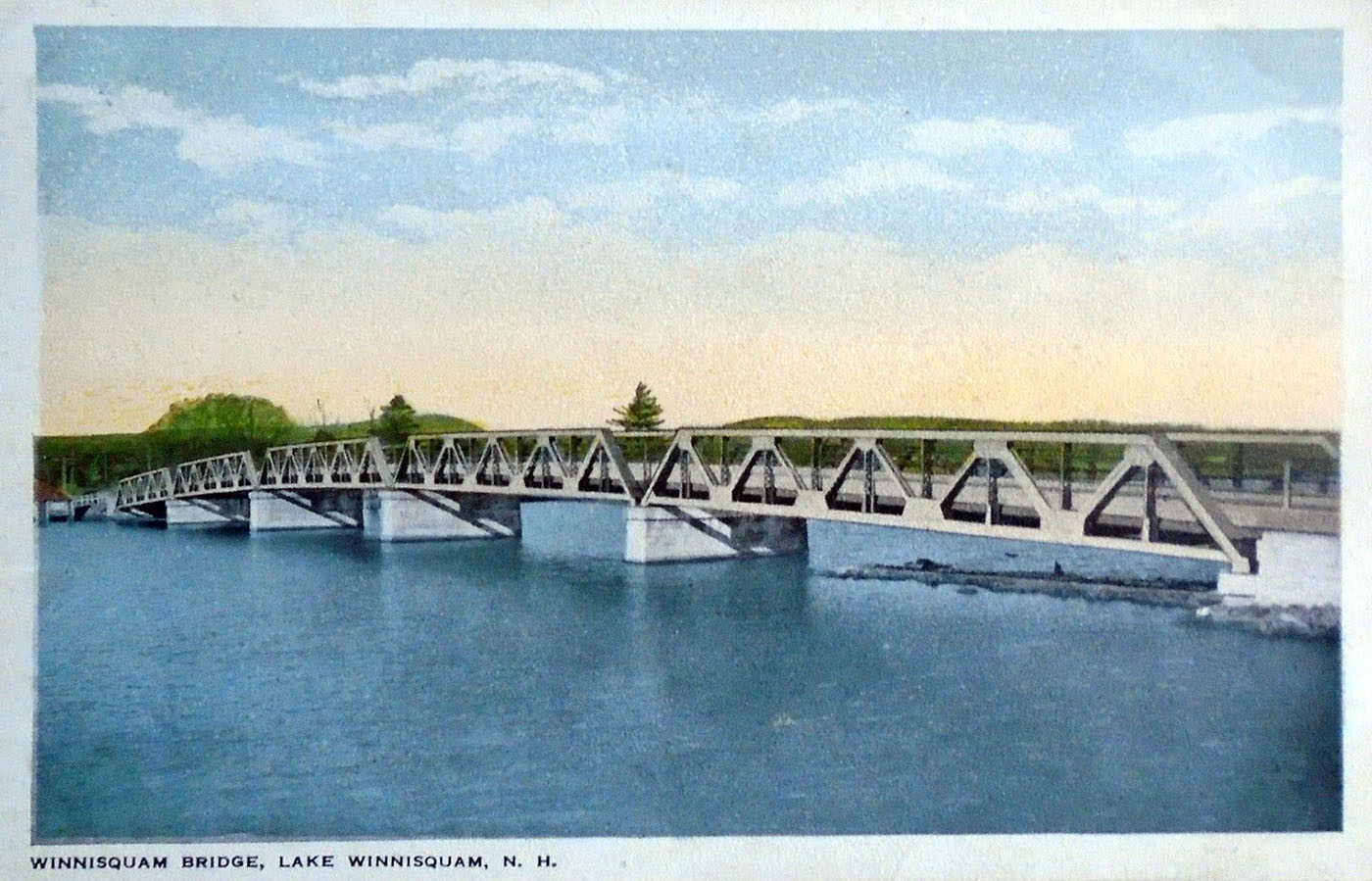
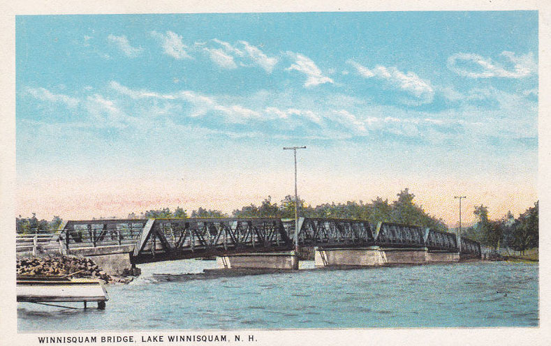
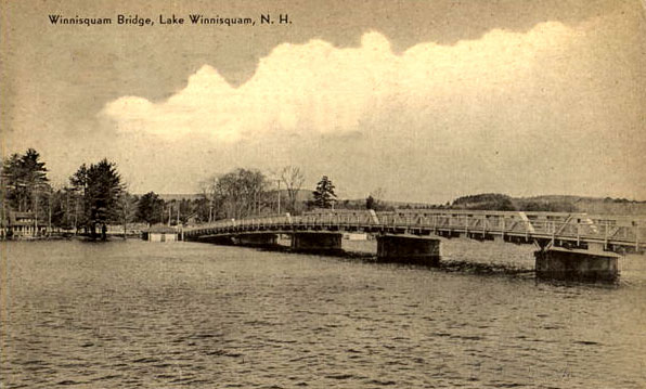
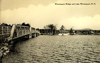
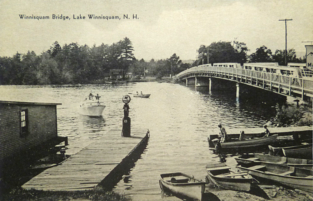
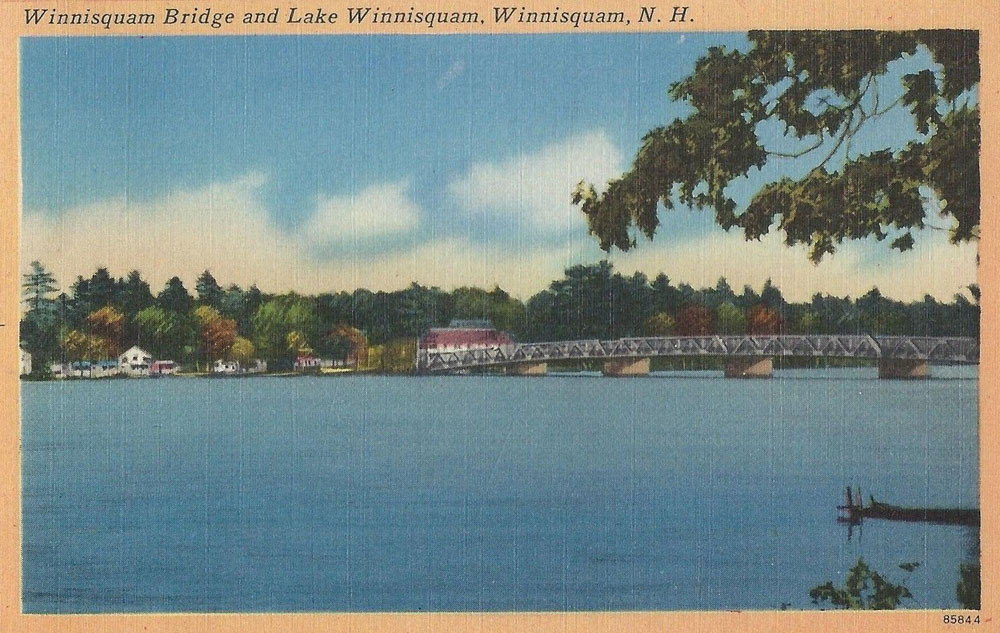
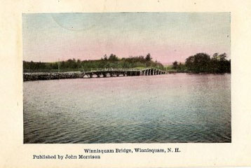
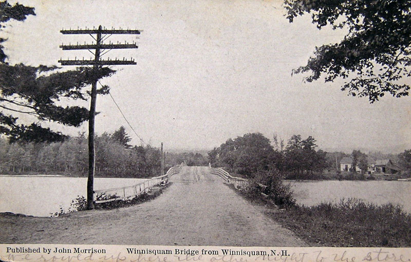
An old tinted postcard of the second Winnisquam bridge. This bridge was built in 1916 and lasted almost 60 years before replacement in 1974. The third, 1974 bridge was built just north of the 1916 bridge, which was then removed. The 1974 bridge is 408′ long and 44′ wide and cost slightly over $1 million to build.

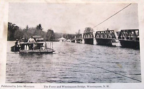
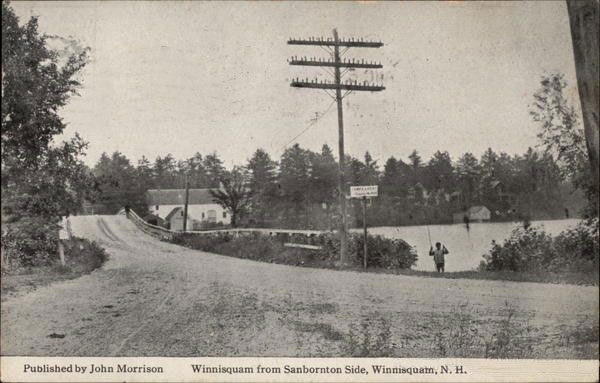
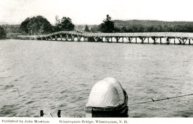
The Ferry and the second Winnisquam bridge, looking west, from the southern Belmont side. In these photos by John Morrison, and the one above, there is no sidewalk with railing, which was added to the bridge later.
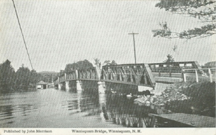
Another John Morrison photo of the second bridge.
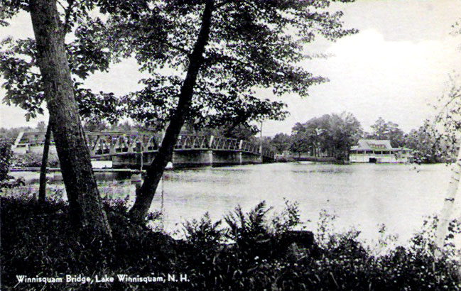
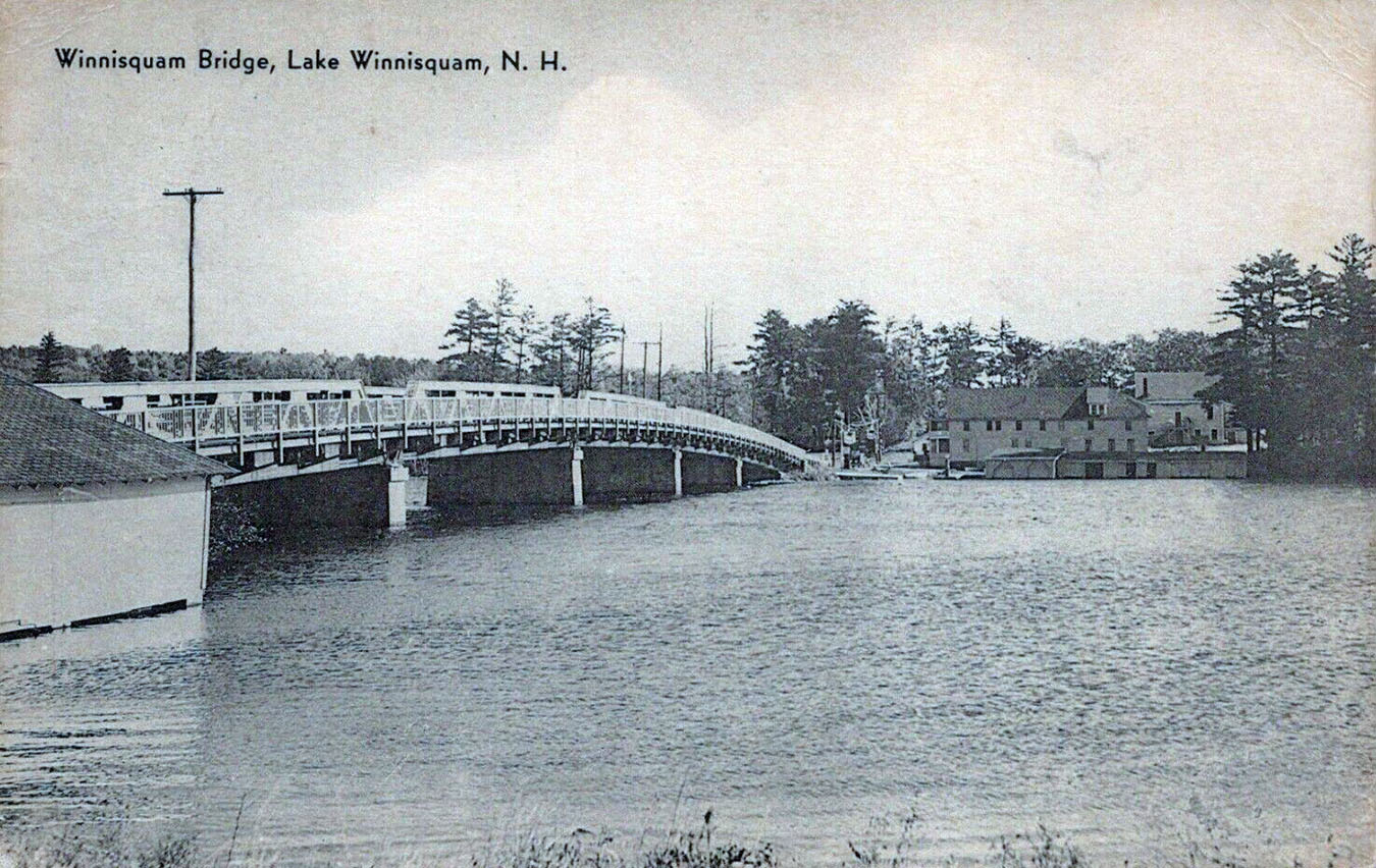
An old photo of the second Winnisquam bridge from the 1930’s, looking west, towards Tilton, taken from the southern Sanbornton side of the bridge.
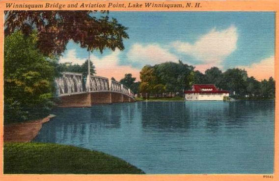
Another old, 1930’s-vintage postcard of the second bridge, looking west, towards Sanbornton, from the northern Belmont side of the bridge. Note Aviation Point on the right.
Looking northwest towards Tilton & Sanborton from the southern Belmont side
Looking west towards Sanbornton from the northern Belmont side. Note Aviation Point on the right.
Looking west towards Tilton from the southern Belmont side.
Looking southwest towards Tilton from the northern Belmont side. Note Aviation Point on the right.
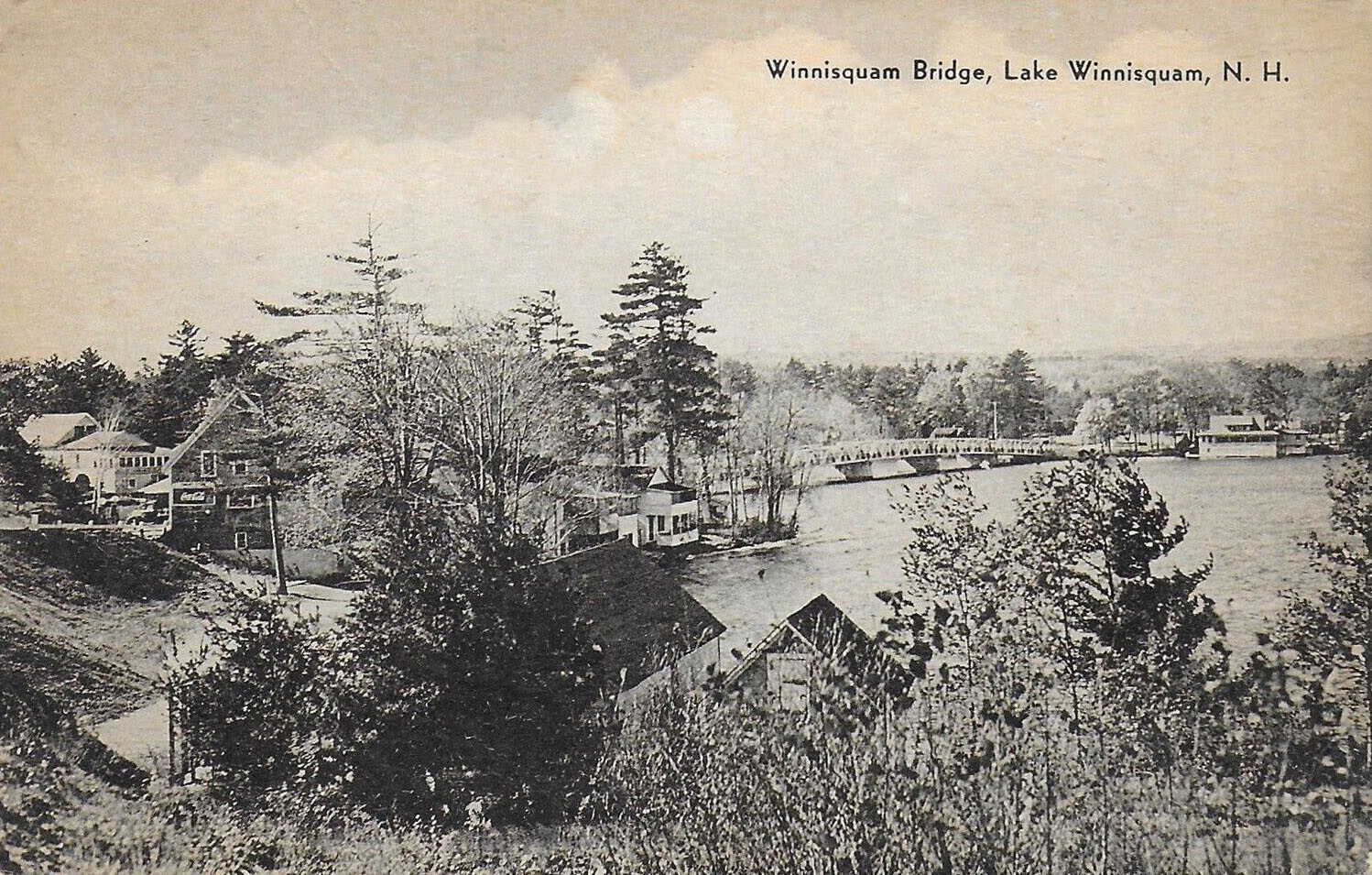
Again, looking southwest towards Tilton from the northern Belmont side. Aviation Point is on the right. On the far left is Winnisquam Gardens; also on the left, in the foreground, is John Morrison’s store.
Below, the view is from Tilton looking east towards Winnipesaukee Gardens on the southern Belmont side,
Below, a 1940’s linen postcard. The view is looking southeast towards the Winnipesaukee Gardens from the northern Sanbornton side.
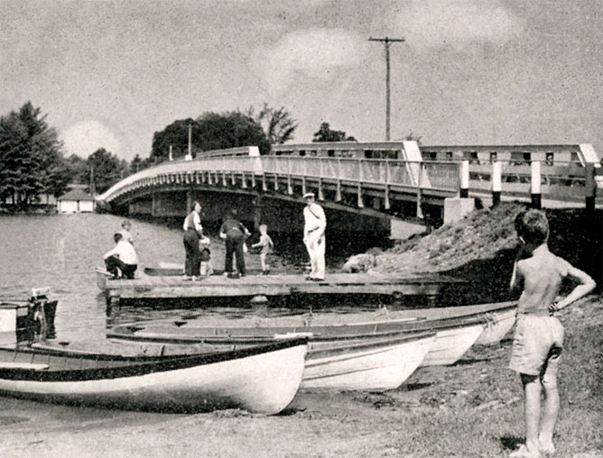
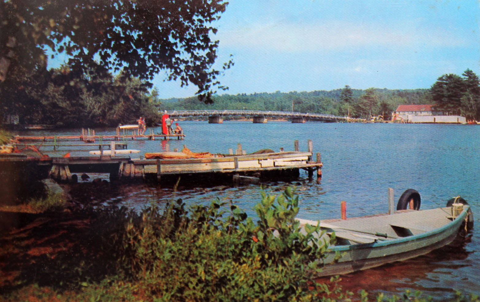
Canoes and rowboats gather on Winnisquam, with the bridge off in the distance.
Looking west towards Tilton from the southern Belmont side
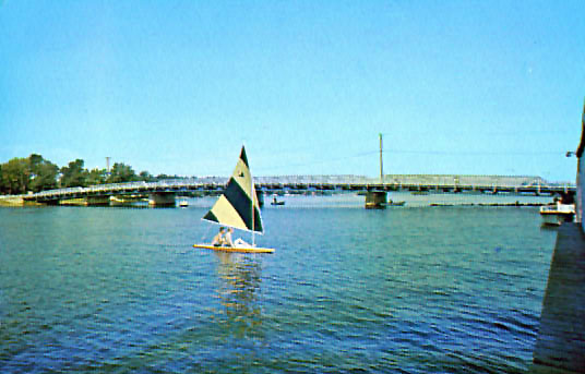
Looking north from the southern Belmont side

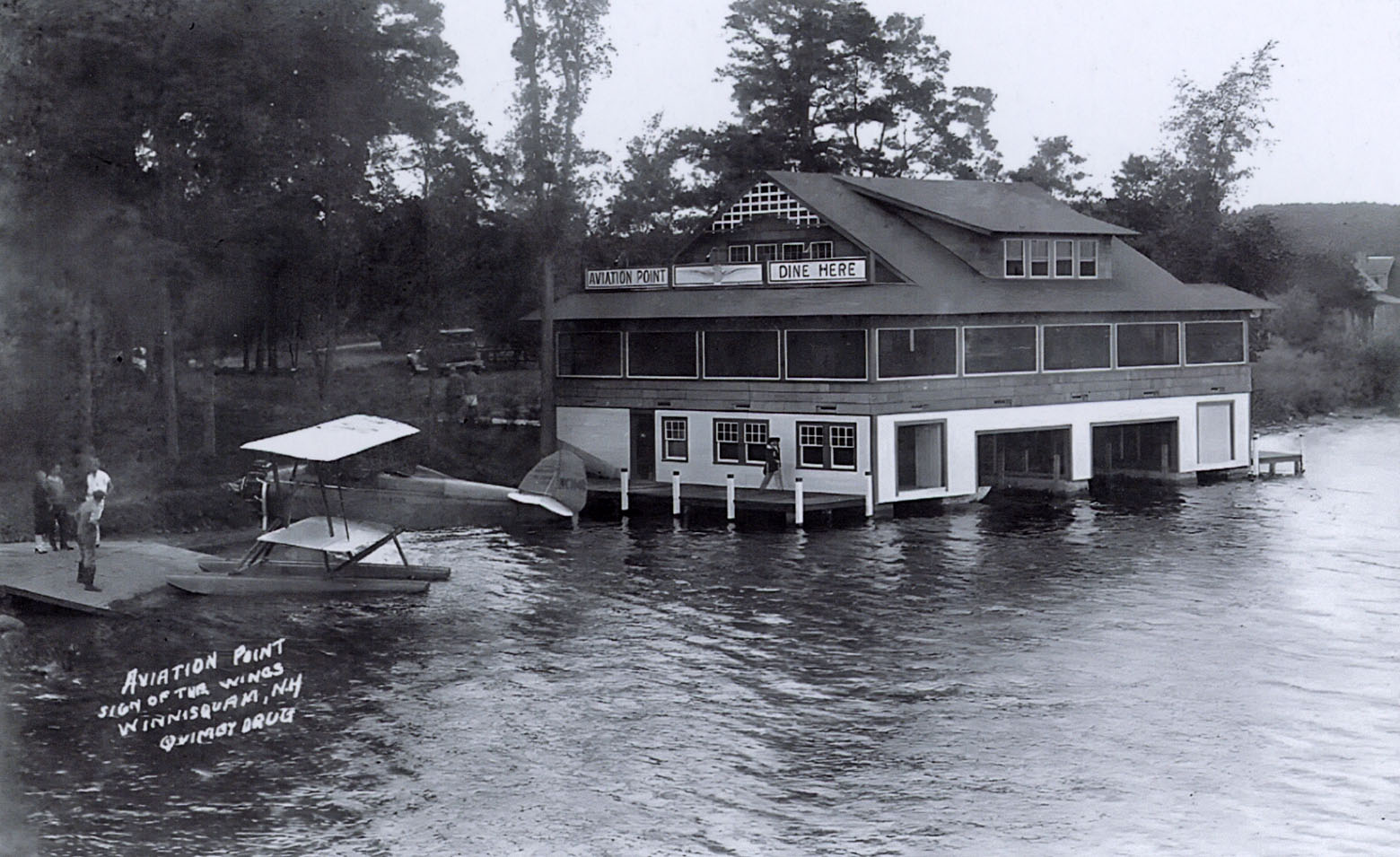
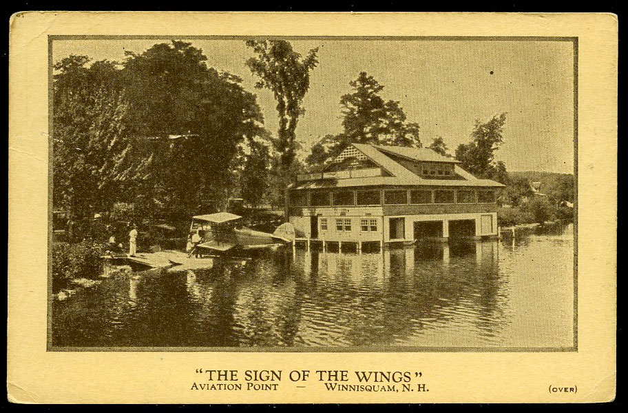
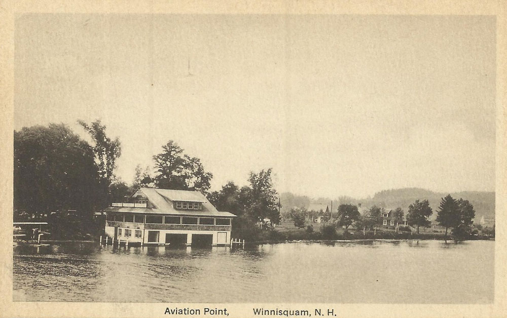
Aviation Point

At one time, seaplane rides were offered on the Sanbornton side of the bridge – hence the name, Aviation Point.

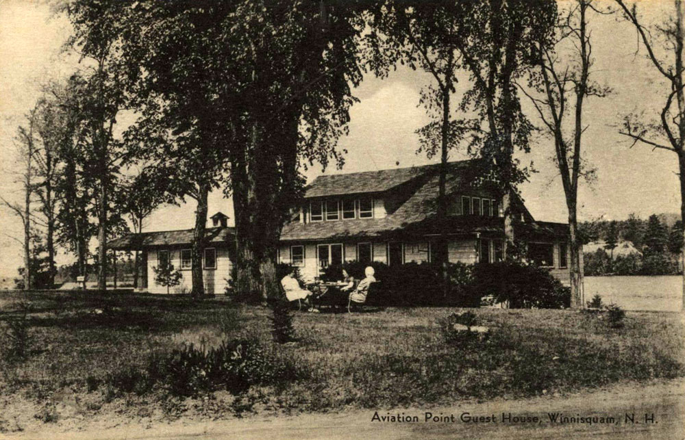
The guest house at Aviation Point was owned by the F.A. Putnam Manufacturing Co. and called “The Sign of the Wings”. The house was furnished with an “Ideal dining room, heated, with three porches over the water, affords a perfect place to relax and eat the best of food, prepared in a clean kitchen with modern gas cooking equipment and electric refrigeration, supervised by a personnel whose aim is to please. Try our special $1.00 Dinner. Operated by E. Gertrude Bennett, Hostess”. Later on, Dorothy Barnard was the hostess. The telephone number was “Laconia 1190”. Aviation Point burned down in 1958. Below is a postcard of the guest house property to the rear.

The Mosquito Bridge

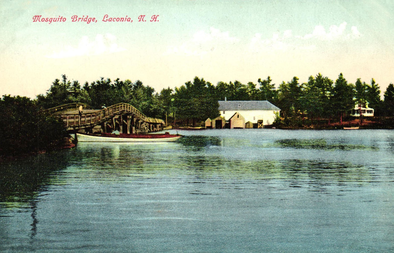
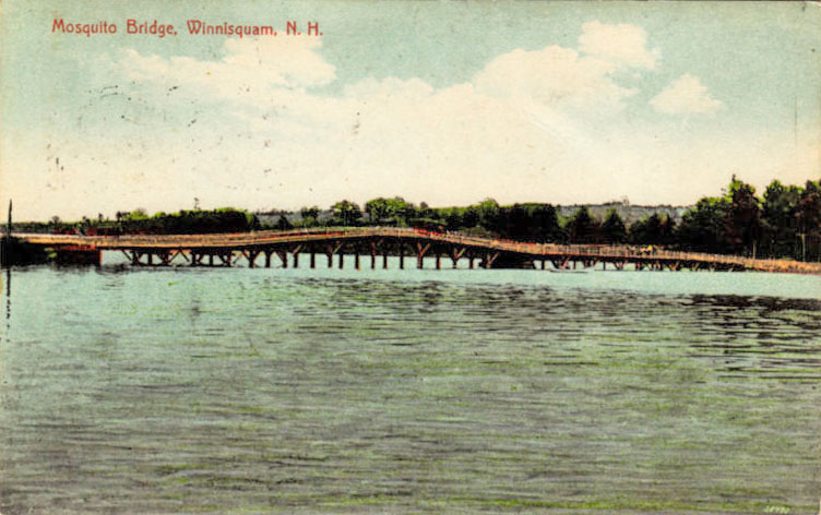
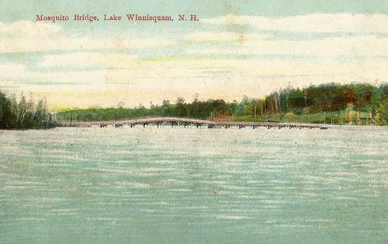
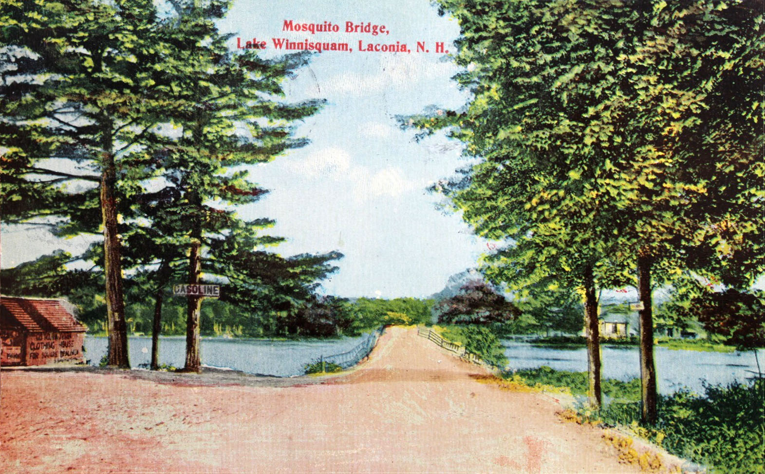
Here’s a very old postcard of the original bridge, when it was still a wooden structure, and more commonly known as the Mosquito Bridge! The bridge was named Mosquito not because the area was mosquito infested, but because the hump in the middle resembled the back of a mosquito. This bridge was built between 1840 and 1844 and lasted a little over 70 years before it suddenly collapsed in December, 1915.  It was quickly replaced in 1916. This view is looking east towards Belmont from the Tilton side of the bridge. To correct the caption on the postcard, the bridge is located “near”, not in, Laconia.

Looking northwest towards Sanbornton from the southern Belmont side of the Mosquito bridge. The hump of the Mosquito bridge was on the Sanbornton side.
Below is the oldest photo of the original Mosquito bridge. It is a stereoview by G.H. Tibbets, numbered #17 in a series, and titled Winnisquam House and Mosquito Bridge.

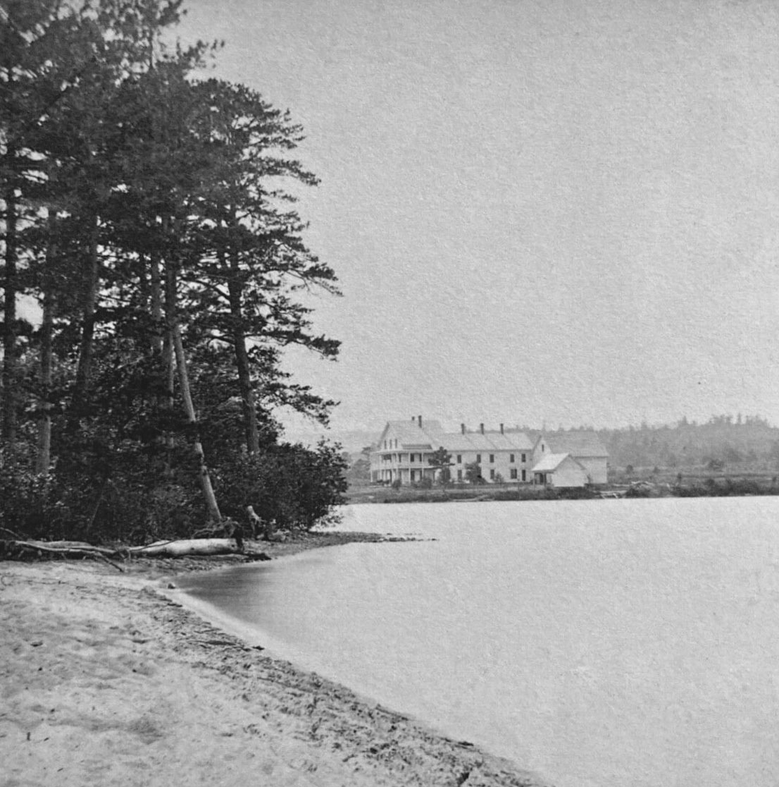
The Winnisquam House from a distance. From a stereoview by W.L. Wilder.

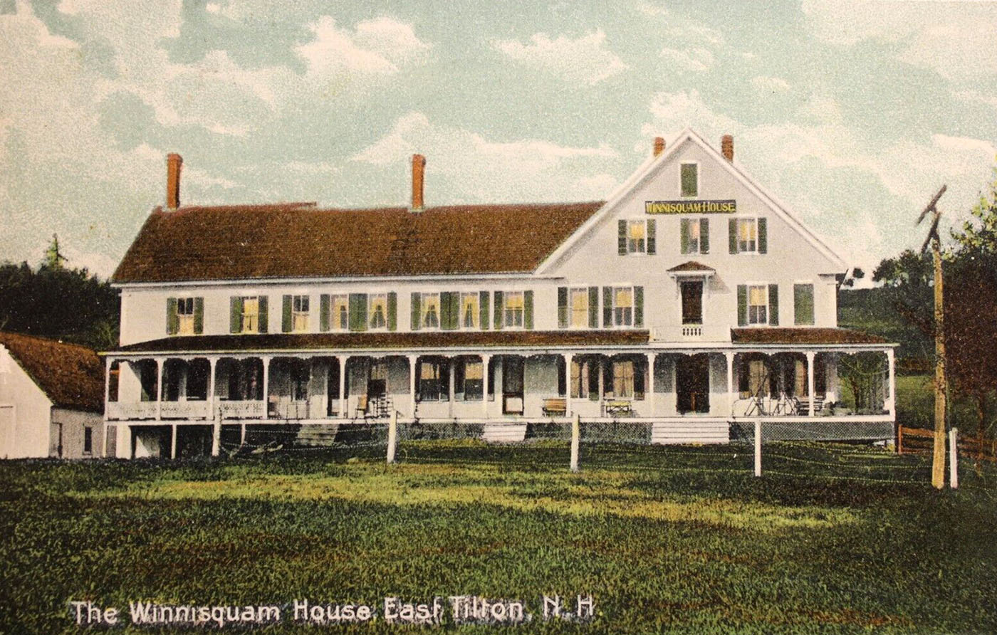
Color postcard of the Winnisquam House.

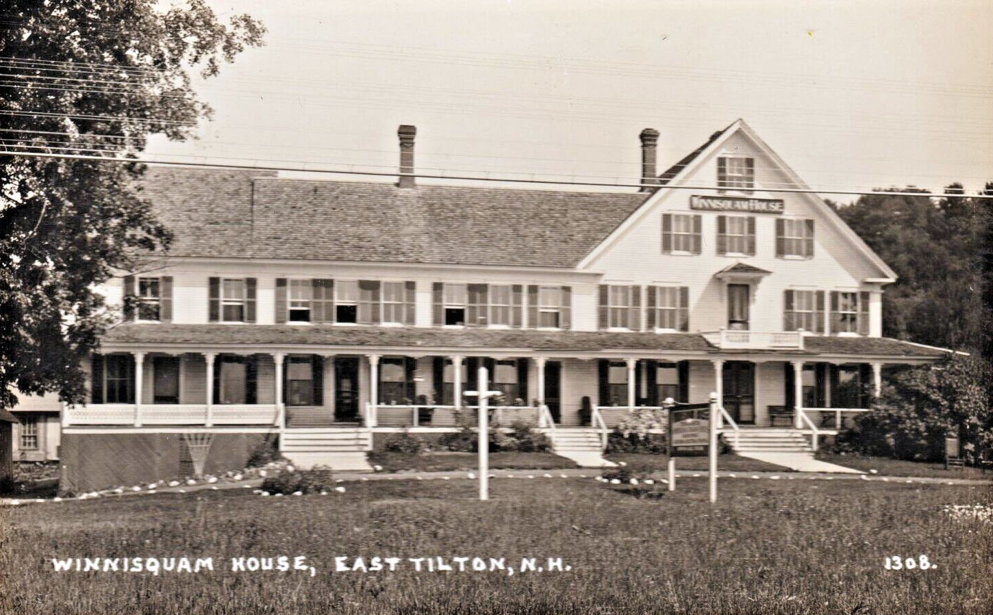
Winnisquam House, East Tilton, N.H.

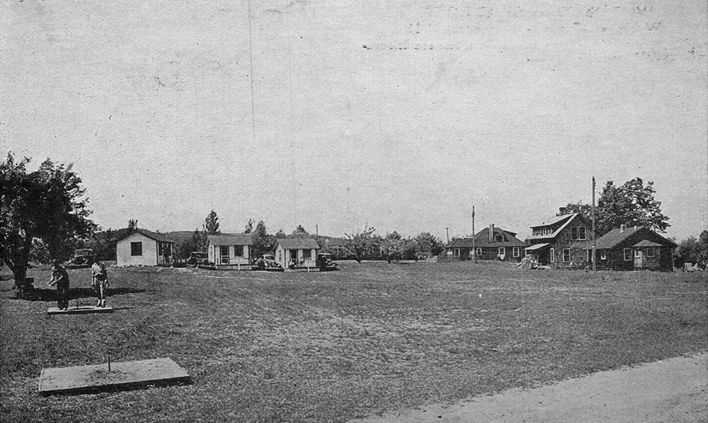
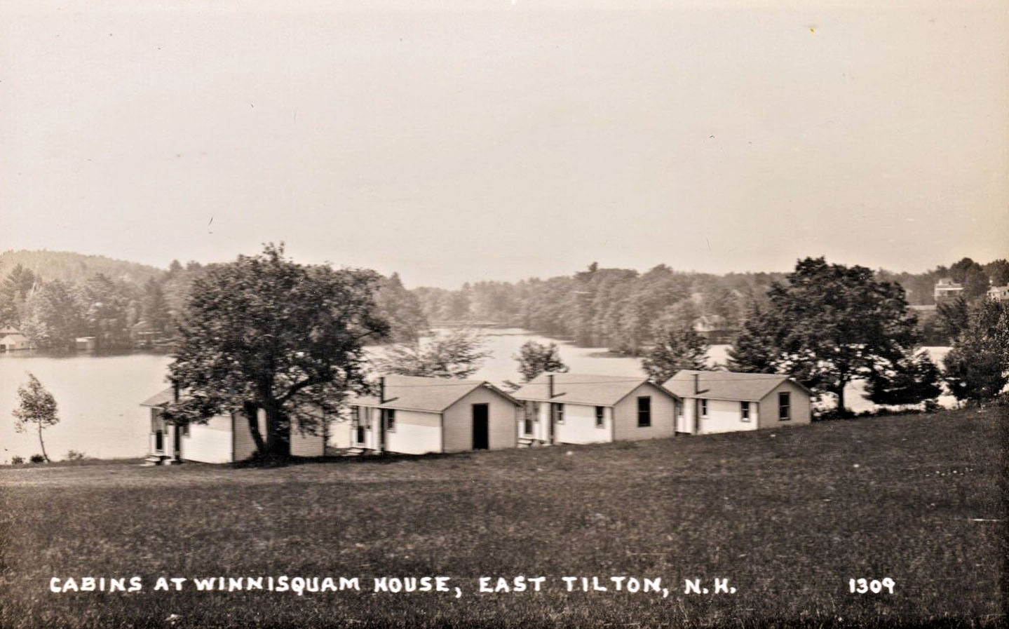
Cabins at Winnisquam House, East Tilton, N.H.

Another Morrison photo of the old wooden bridge. This photo has been hand tinted.
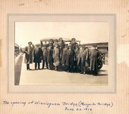
The second version of the bridge officially opened on June 22, 1916. Below, a photo of various state and local officials celebrating the opening.

Old Maps of Lake Winnisquam

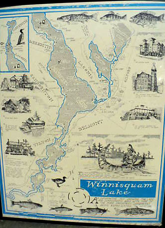
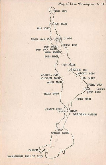
Here are a couple of old maps of Lake Winnisquam.The first map is very large, about 5′ square. To see the first map in detail, click here. The second map is very small, as it fits on a postcard.

The Stores

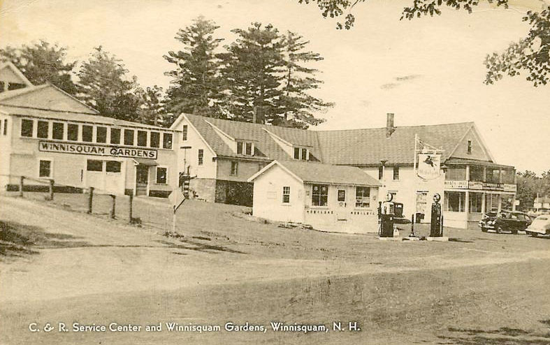
This gas station, marina, and dance hall was located on the southern Belmont side of the bridge. The Winnisquam Gardens are noted on the above postcard map. Today, these structures are known as Winnisquam Marine. Below, a photo of the Winnisquam Gardens.

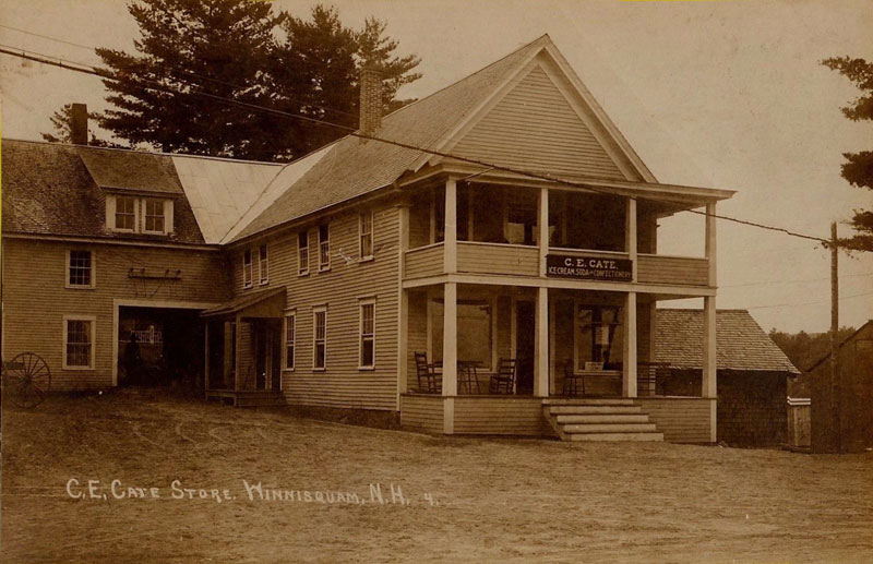
In this earlier view, the building was called the C.E. Cate store, and sold “Ice Cream Soda and Confectionary”
A later view of the same building.
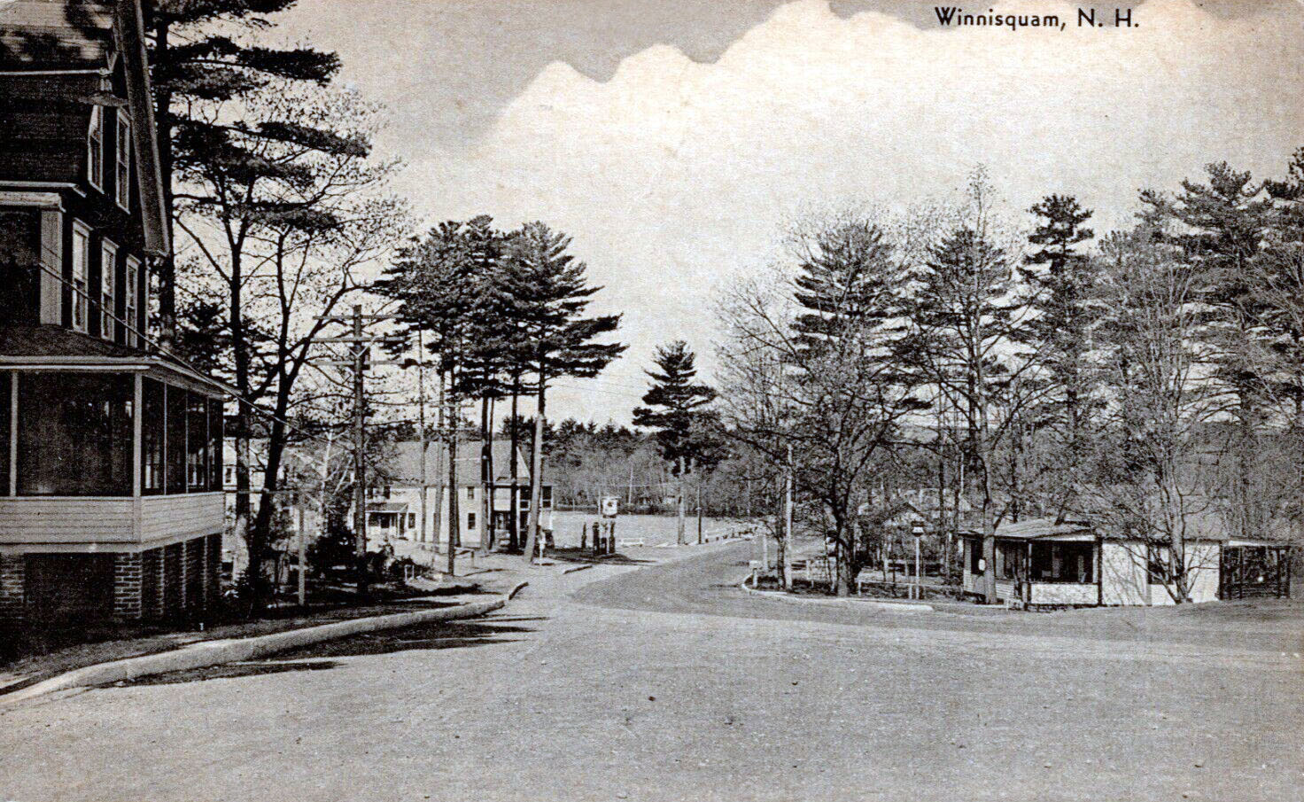
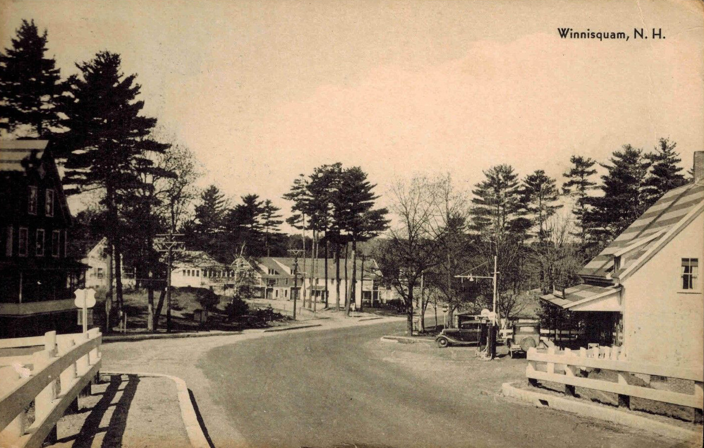
Approaching the Winnisquam bridge, the Winnisquam Gardens gas station can be seen in the distance on the left
A color linen postcard of the approach postmarked in 1943.
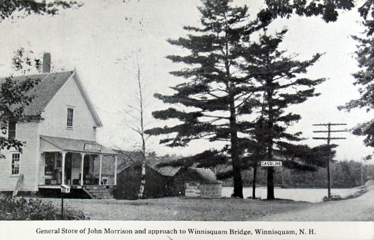
Below, a much older view, circa 1915, shows the Winnisquam Gardens building when it was John Morrison’s general store. Morrison would later relocate just down the street to a new store building (see further below).>
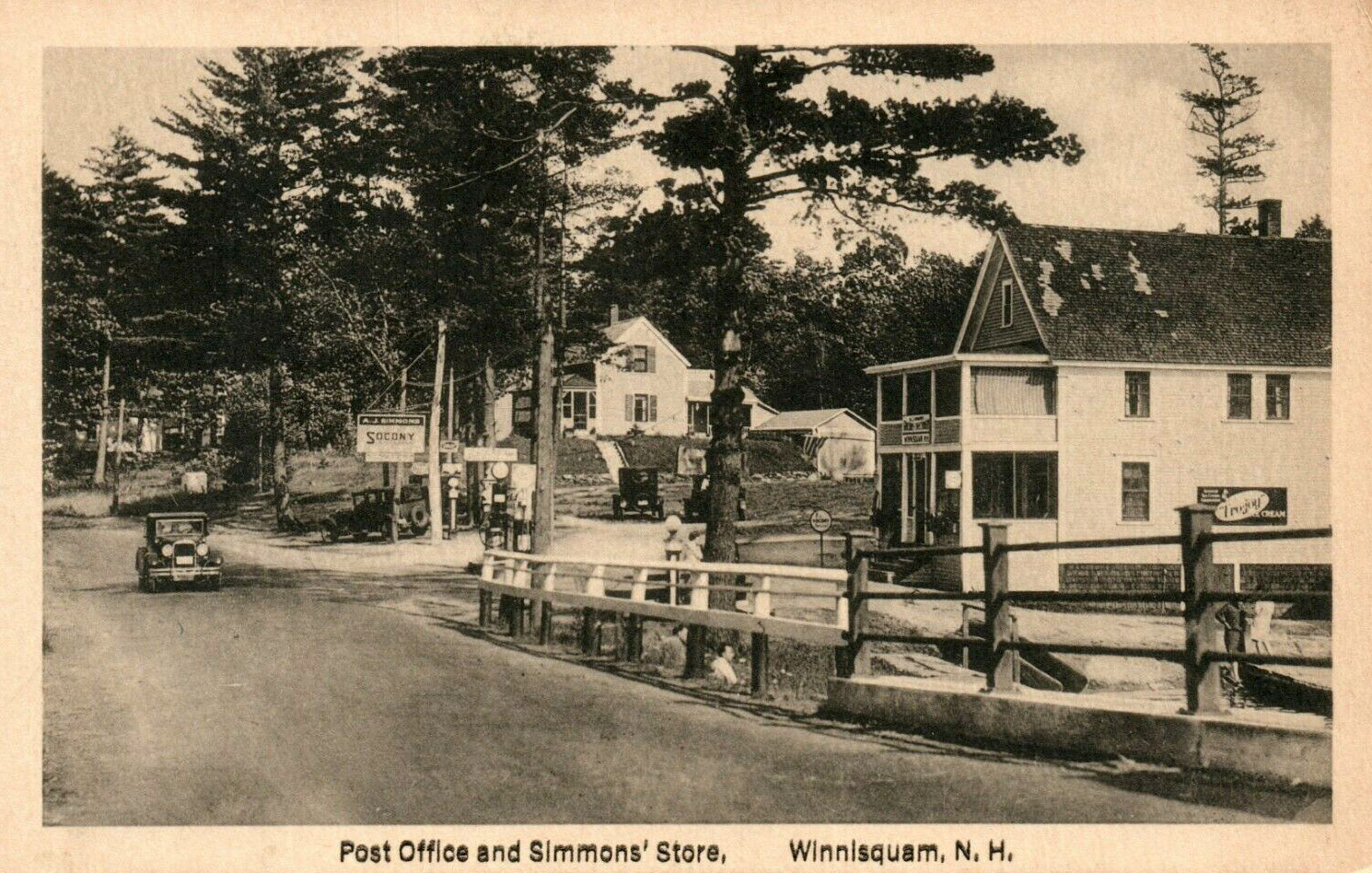
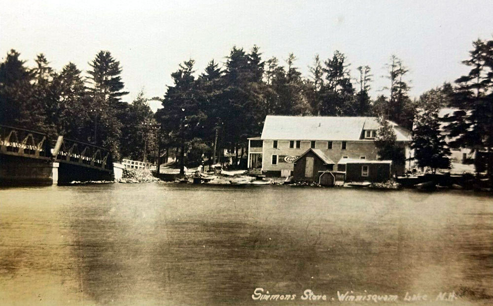
Below, the Winnisquam Gardens, when it was known as Simmons’ Store and Post Office.
A view of Simmon’s store from the Tilton side.
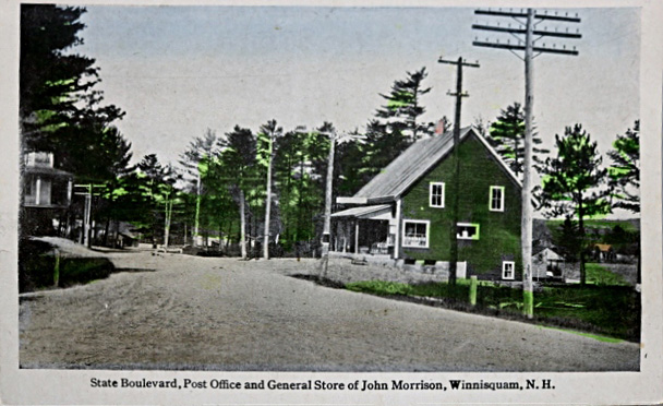
Approaching the Winnisquam Bridge from Laconia, one passed by John Morrison’s relocated store and post office on the right, prior to reaching the bridge. Here’s a colorized postcard, with sparse, green colorization.
Morrison’s store is photographed in the time when horse travel and car travel coexisted.
One more look at John Morrison’s store, from a postcard postmarked in 1941.
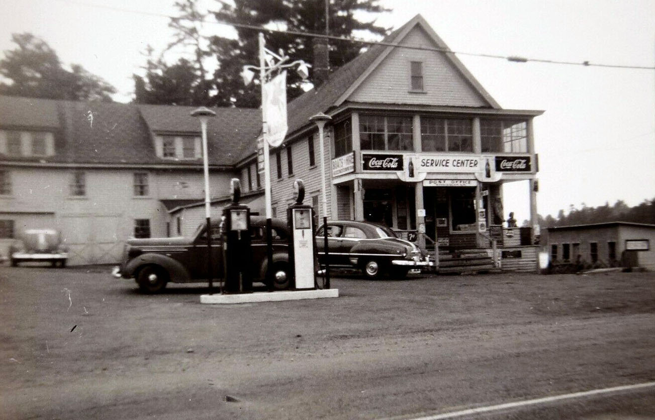
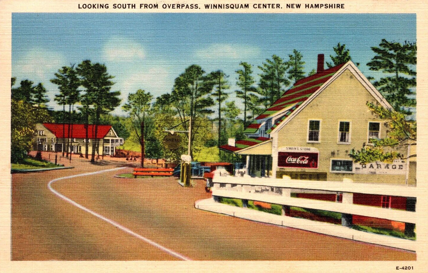
Below, a nicely colorized postcard of John Morrison’s relocated store, in the late 1940’s, when it had also become a garage and gas station. In the colorized postcard, one can see not only the John Morrison store, but also the Winnisquam Gardens, further down the road, on the left of the colorized postcard. Note the caption “Looking South from Overpass”. At the time of this postcard, Route 3 passed over the B&M railroad line, which continued south on the east shore of Lake Winnisquam a couple more miles, before crossing to the west shore in Lochmere. In 1974, when the new Winnisquam Bridge was built, the overpass was removed, and the Route 3 railroad crossing was reconfigured into a grade crossing at ground level.
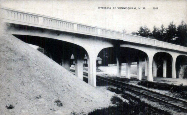
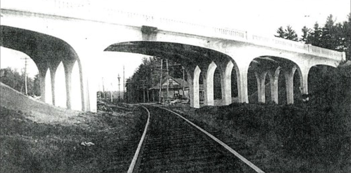
Below, a photo postcard of the Route 3 overpass, built in 1935, and demolished on September 13, 1974.

Another photo of the Route 3 overpass.

Mohawk Island

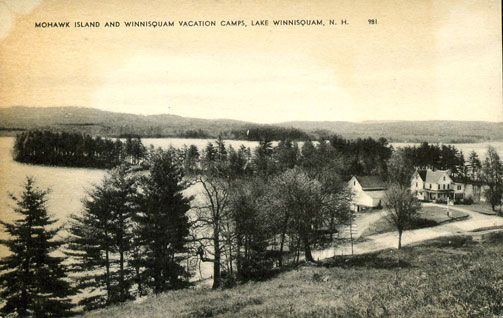
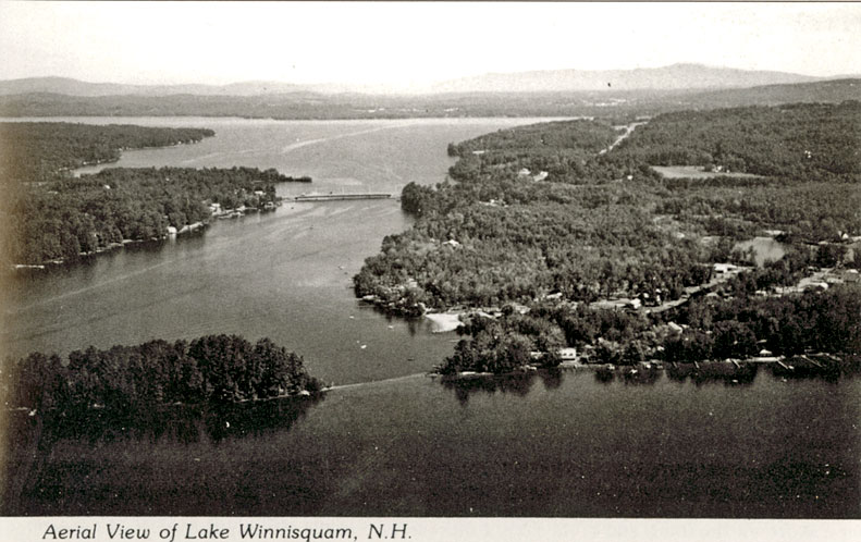
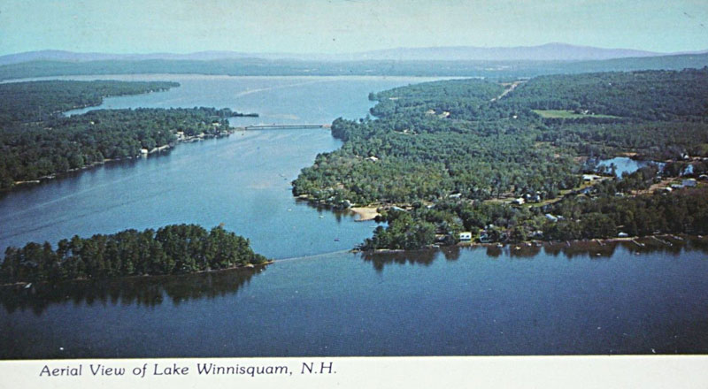
Noted on the postcard map above was Mohawk Island. Today one can see the island just offshore of the Lord Hampshire Motel & Cottages.

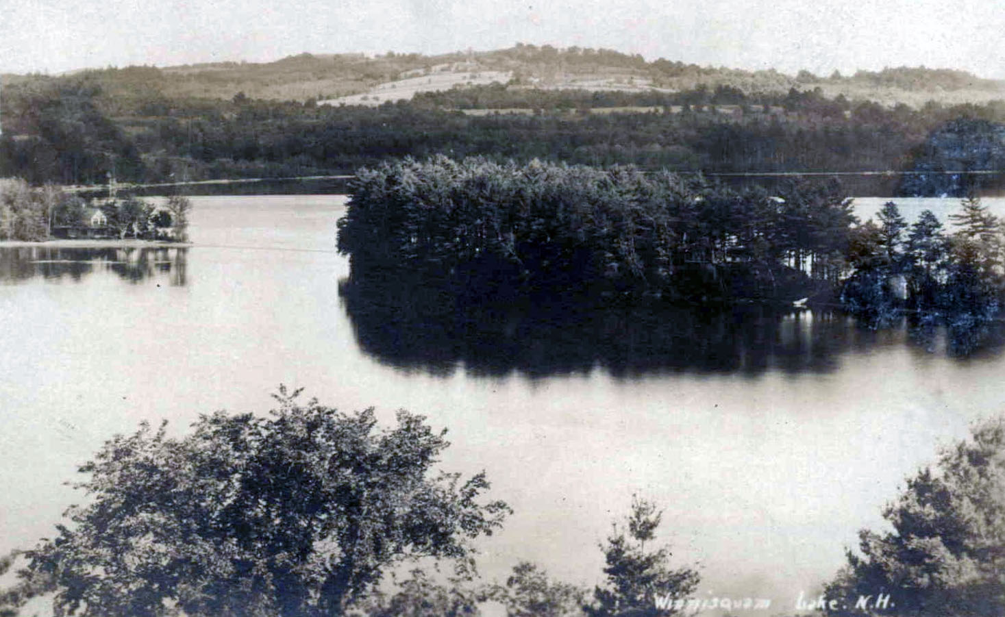
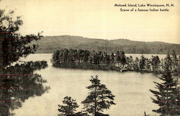
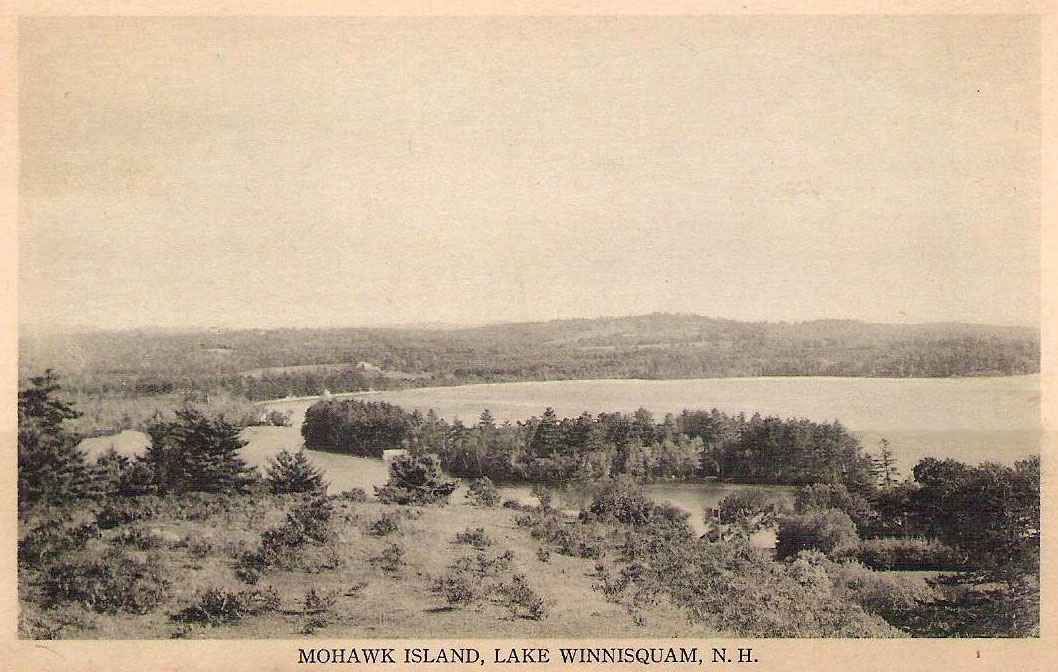
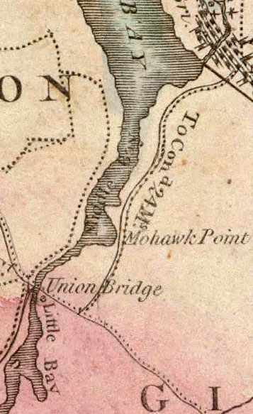
Here are a couple more postcards of Mohawk Island. While an island now, 19th century maps (see below) show that it used to be a peninsula called Mohawk Point, attached to the Belmont side of Sanbornton Bay by a narrow isthmus. Apparently the level of the lake rose enough after the construction of the Lochmere dam to submerge the isthmus, severing the point from the mainland. Sanbornton Bay was first known as Middle Bay; today it is known as the southern section of Lake Winnisquam. The northern section of Lake Winnisquam was known as Great Bay, while Silver Lake was known as Little Bay. Lake Winnisquam was a favorite fishing place of the Pennacooks, “where they often mustered as many as three hundred canoes at a single gathering.”

The postcards note that this was the “Scene of a famous Indian battle.” In 1685 an alliance was made between the Pennacook and the Pequaket to defend themselves against the Mohawk, but the Mohawks prevailed in one famous battle, according to the following account: “Tradition informs us that a large body of Indians belonging to or inhabiting this region were once surprised and driven upon a point of land in the Great Bay upon the Gilmanton shore, where they were overpowered by a superior force, and cut to pieces.” (Belmont was part of Gilmanton at this time.) The account continues, ” The victorious Indians in this case were the Mohawks and it is said that they used stratagem to decoy the Pequawkets, feigning a retreat down the bay in their canoes…”. When the Pequawkets pursued their enemies, they were “ambushed under the banks of the point.”

An excerpt from an 1816 map showing Mohawk Point.
An excerpt from an 1878 map showing Mohawk Point.

Aerial & Shoreline Views

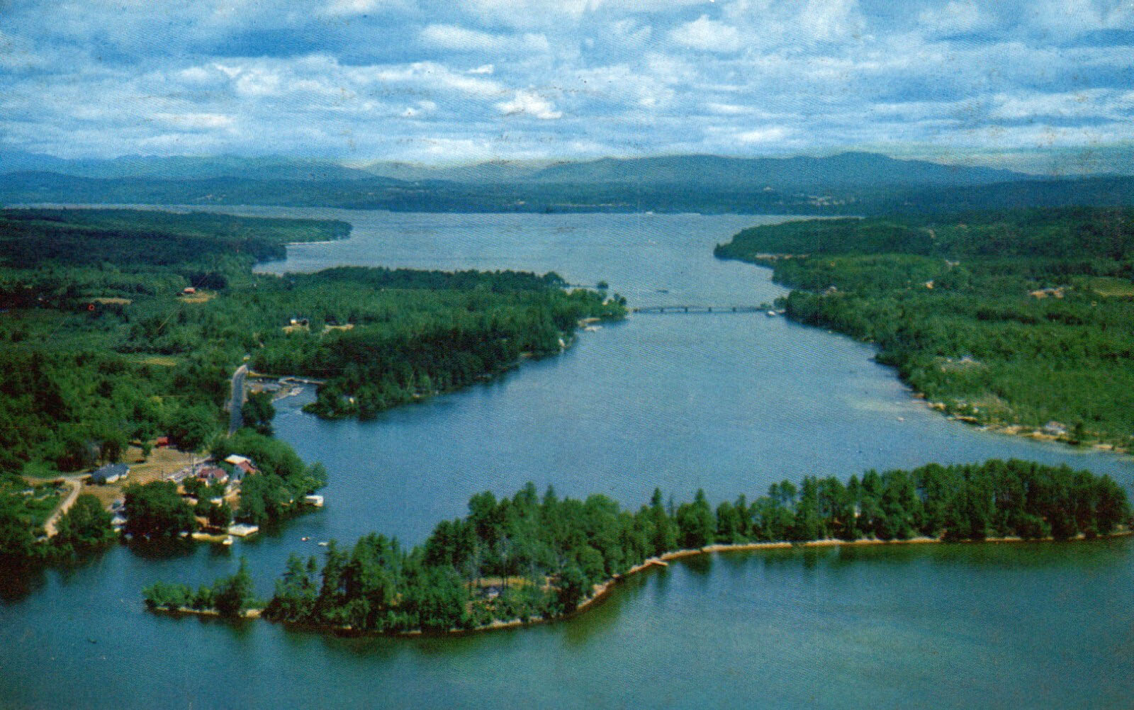
Aerial views of Lake Winnisquam looking north. The submerged isthmus between Mohawk Point and Mohawk Island is evident in the foreground of the photos, while the Winnisquam bridge is seen in the center of the photos.

A colorized postcard scenic view of Lake Winnisquam seems to show a similar view to the above aerial photo, but from ground level.
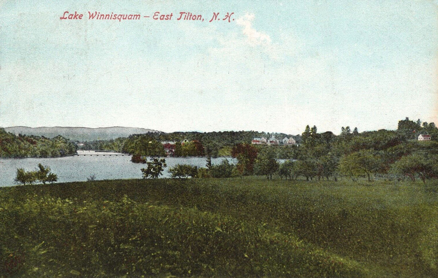
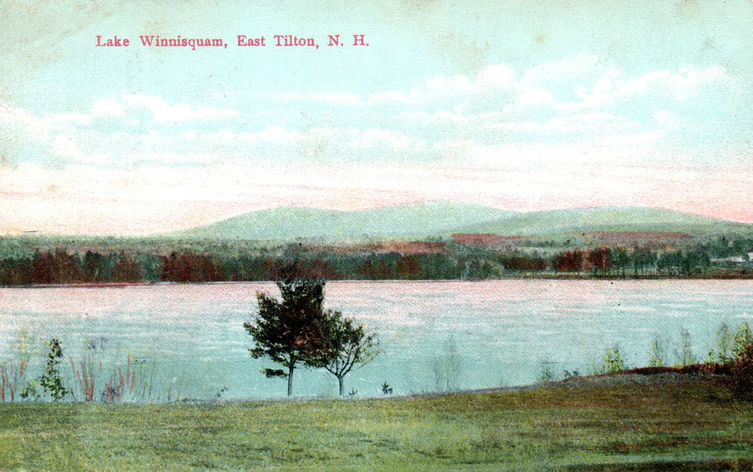
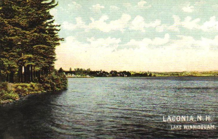
A colorized postcard scenic view of Lake Winnisquam from East Tilton.
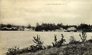
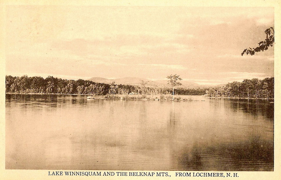
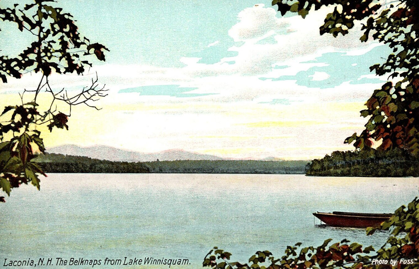
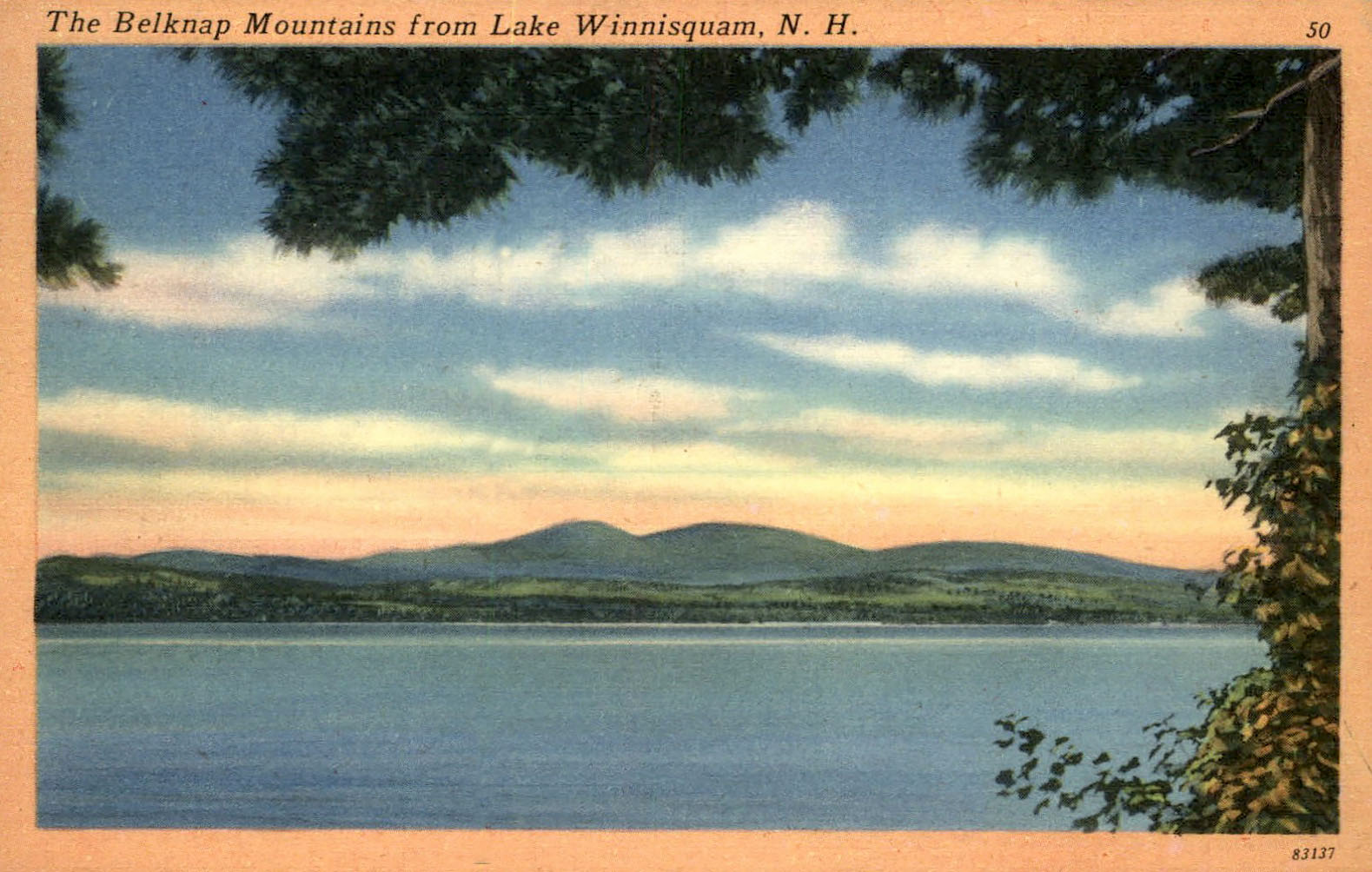
The Winnisquam shoreline.
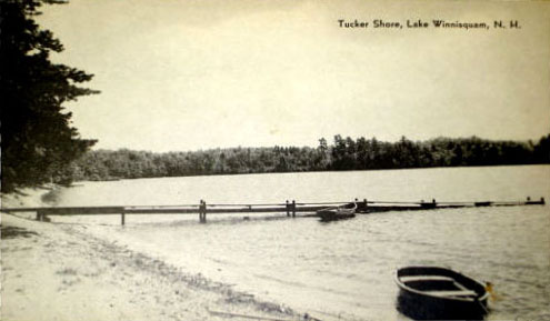
Tucker Shore (Tucker Shore was on the East side of Winnisquam, just East of Mohawk Island)
Munsey’s Point
Pot Island
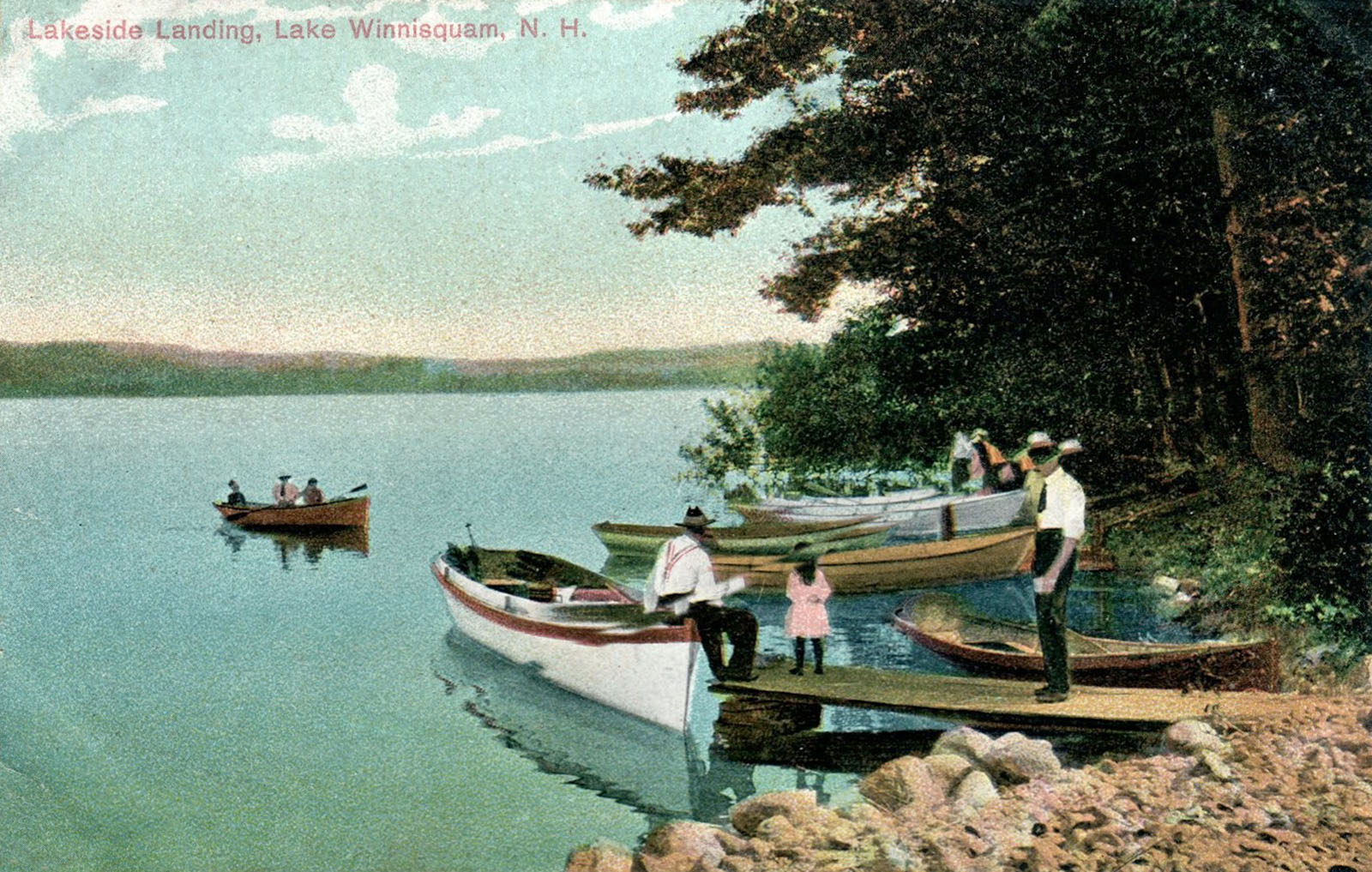
More shoreline views
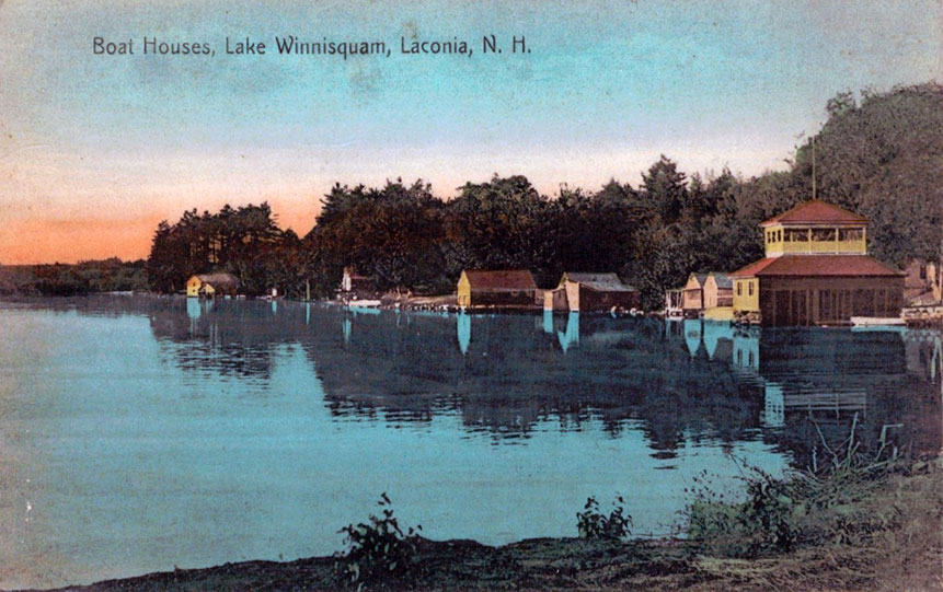
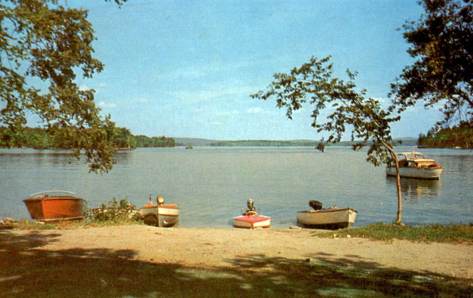
Boathouses on Lake Winnisquam.

Brochures

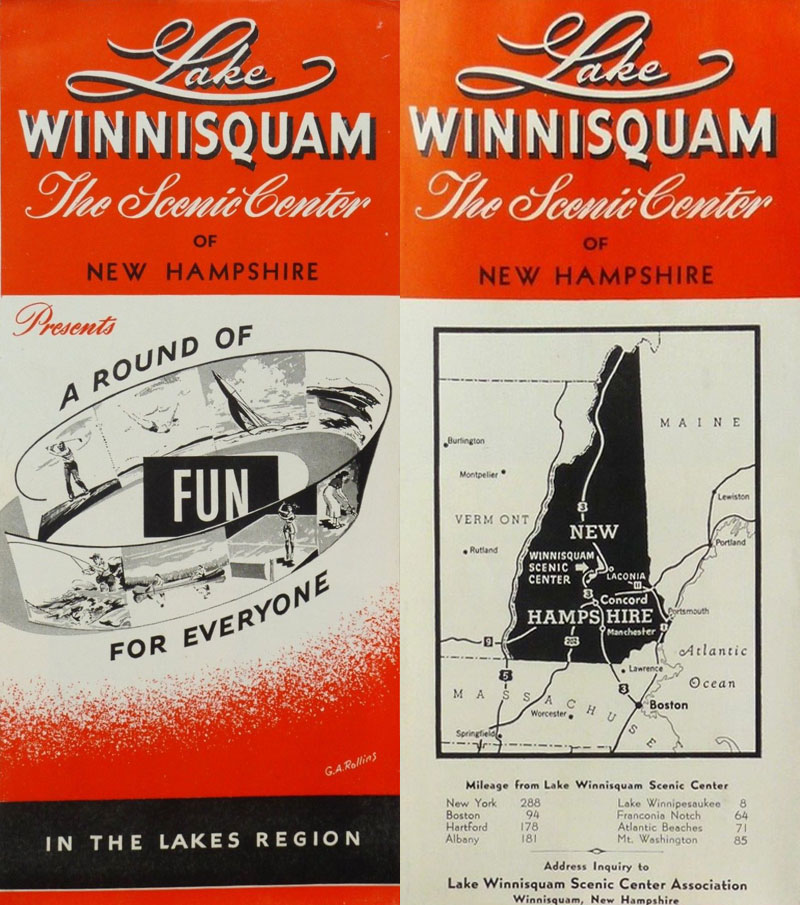
1950’s Lake Winnisquam Scenic Center Association Brochure and Map

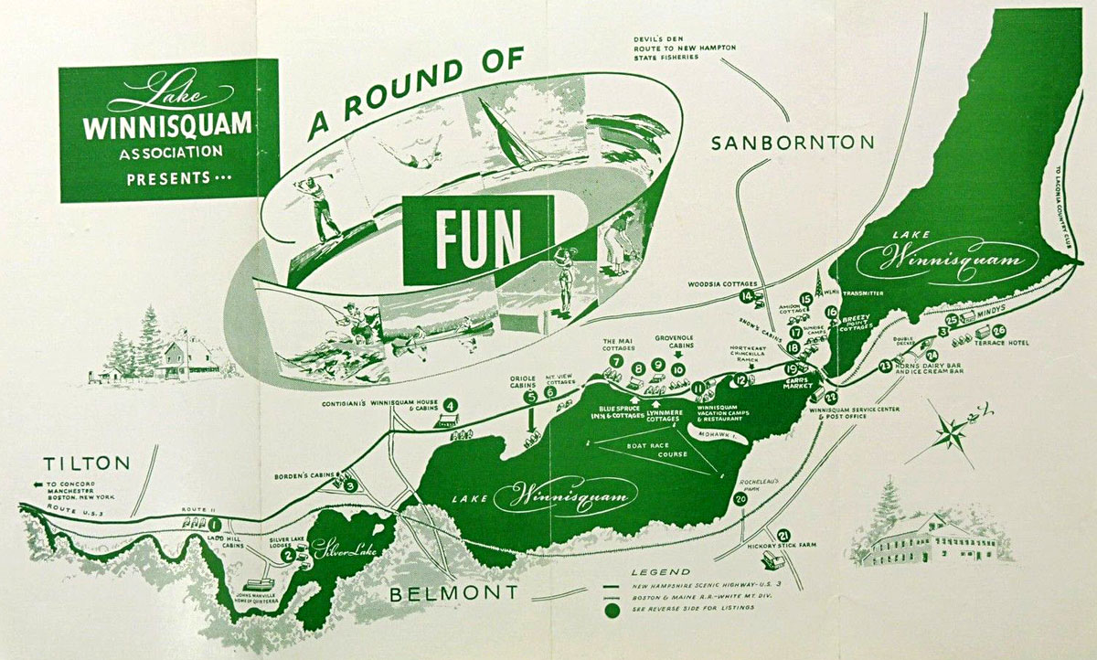
Lake Winnisquam map, 1950s.