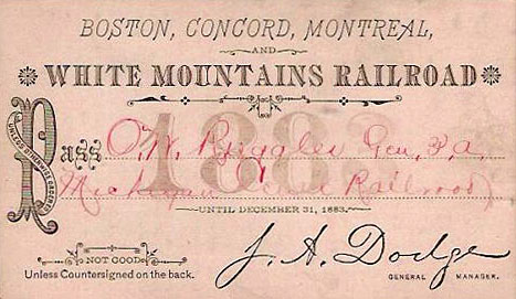
Boston, Concord & Montreal Railroad System Maps
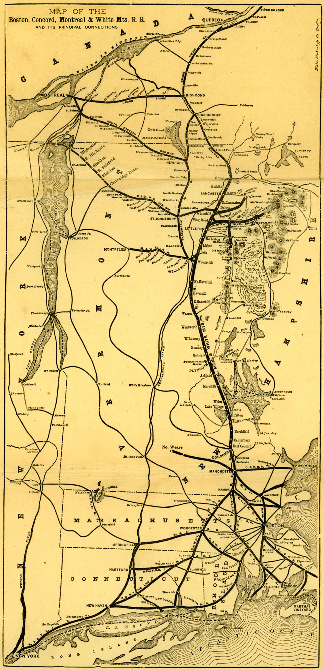
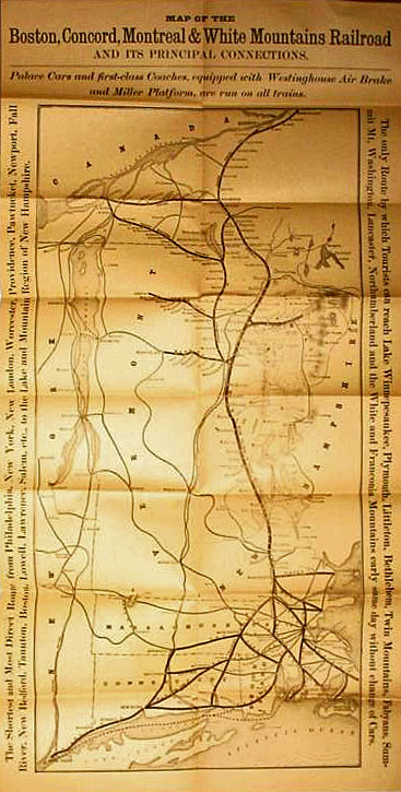
Comparing this 1880-1882 map (below) to the earlier, 1878 system map, (following), one notices several differences in New Hampshire. The earlier map does not show 1) The spur from Whitefield to the Waumbek House in Jefferson. The spur, which was chartered on July 11, 1878 by the Brown Lumbering Company, was “probably one of the first out-and-out lumbering railroads in the United States”, and was leased by the BC&M in 1879. 2) The 10-mile spur from Bethlehem to the Profile House in Franconia Notch, which was completed on June 25, 1879. 3) Completion of the Portland and Ogdensburg Railroad Vermont Division from St. Johnsbury to Swanton, VT. 4) The Manchester to North Weare Railroad. This Railroad had been completed in 1851, but service was unreliable, as “serious washouts resulting from heavy freshets have at times delayed the traffic over the road…”
The earlier map boasts that “Palace Cars and first-class Coaches, equipped with Westinghouse Air Brakes and Miller Platform, are run on all trains…The Shortest and Most Direct route from Philadephia, New York, New London, Worcester, Providence, Pawtucket, Newport, Fall River, Bedford, Taunton, Boston, Lowell, Lawrence, Salem, etc., to the Lake and Mountain Region of New Hampshire…The only Route to which tourists can reach Lake Winnepesaukee, Plymouth, Littleton, Bethlehem, Twin Mountains, Fabyans, Summit Mt. Washington, Lancaster, Northumberland and the White and Franconia Mountains early same day without change of Cars.
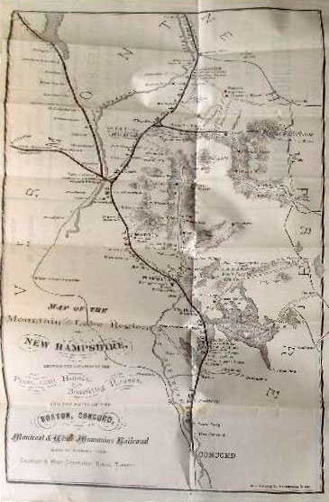
An 1875 map, from “Keyes’s Hand-Book of Northern and Western Pleasure Travel to the White and Franconia Mountains, St. Lawrence and Saguenay Rivers, The Northern Lakes, Montreal and Quebec, and the Great West”.
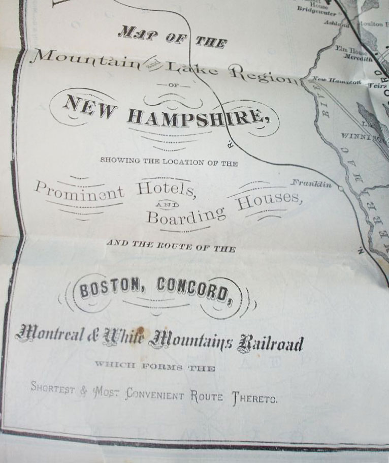
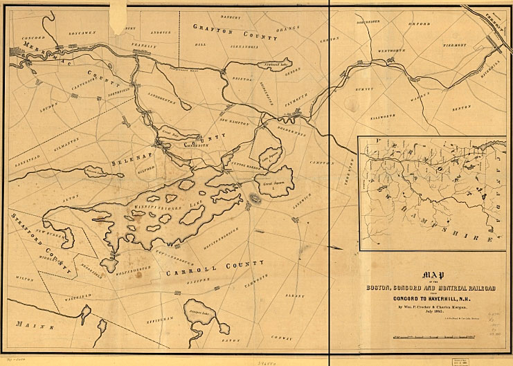
An 1845 map, showing the proposed route of the Concord, NH to Haverhill, NH line, was curiously orientated with North pointing to the right, rather than up. The original proposed route would have skirted Weirs Beach entirely! The planned route along the west shore of Paugus Bay would have headed inland at Pickerel Cove and not returned to the shore of Lake Winnipesaukee until reaching Meredith.


