







Lochmere Dam
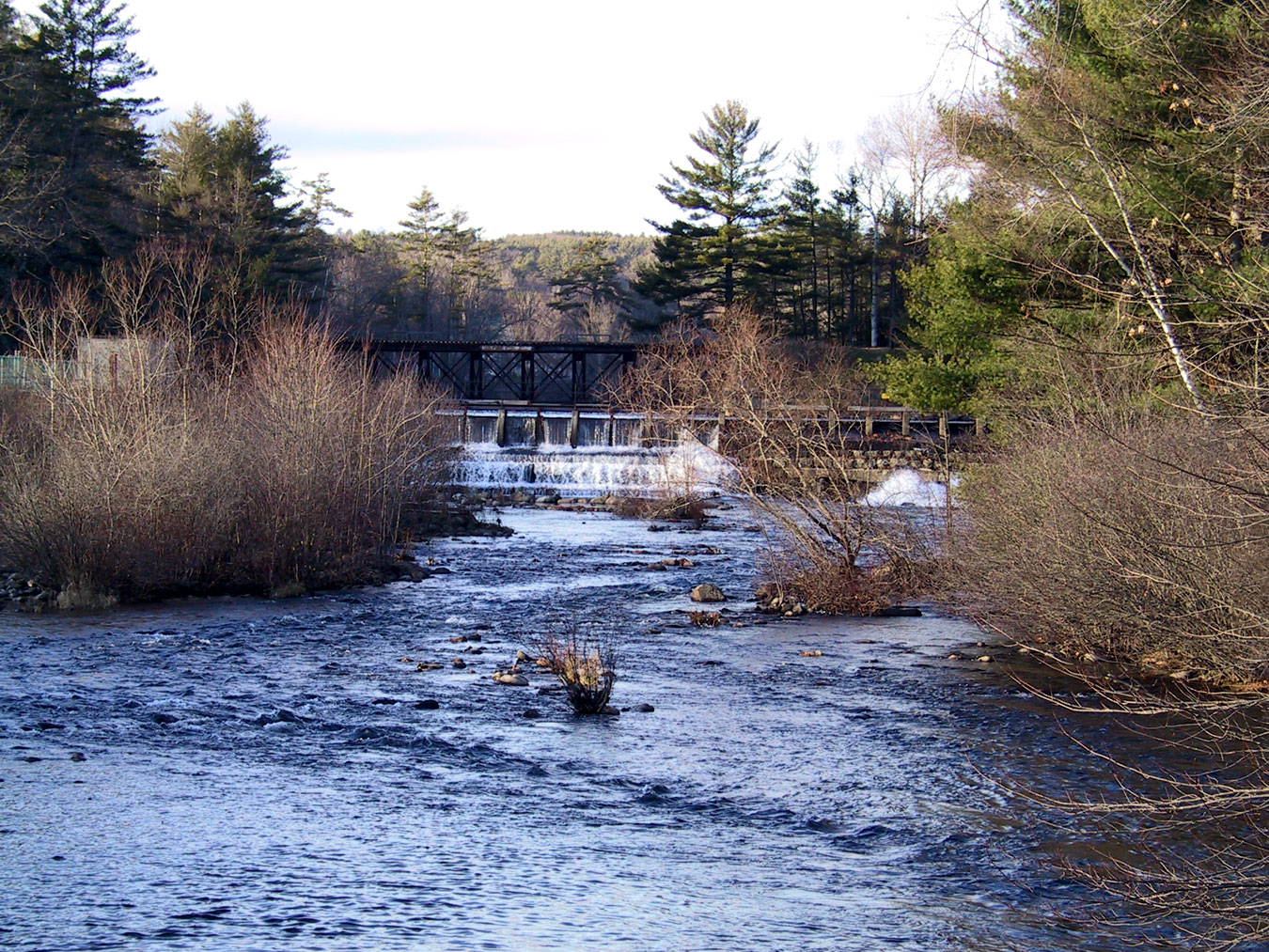
Below is a photo of the Lochmere dam on November 20, 2008. The photo is taken from the Silver Lake Rd bridge. Directly behind the dam is a railroad trestle. It seems to be part of the dam, but it is actually about 100 yards further upstream.
For more information about the operations of the Lochmere dam, click here. Move your cursor over the triangles on the NH map. For upstream operations info, click on the Winnisquam Lake triangle; for downstream operations info, click on the Silver Lake triangle. (Or, click on the “List” tab, and scroll down to and then select LWINH or SLLNH, respectively.) Then, click on the “Station Information” tab at the top right. For more information about its “run-of-the-river” hydroelectric power generation capability, click here.
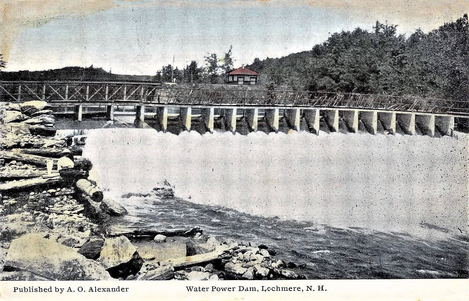
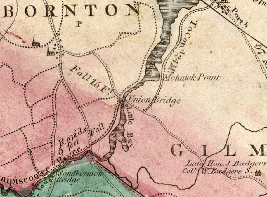
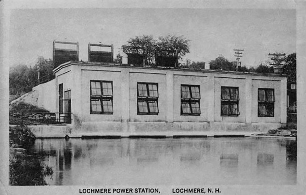
The original Lochmere dam. The original 800kw hydroelectric facility, which had been built here in 1910 by the Laconia Gas & Electric company, was retired in 1966. According to an 1816 map (see below), the natural falls at this location dropped 15 feet.
Lochmere Road Bridges
At the annual Sanbornton town meeting in 1792, it was voted to “…join Gilmanton in building a bridge over Gibson’s Falls; that is, we will build ye Western half…thus originating the well-known title of Union Bridge.” (source: Rev. Moses T. Runnels, in his 1882 “History of Sanbornton”, Vol I, page 197.)
Union Bridge is drawn in on this detail from the 1816 map of New Hampshire by Philip Carrigain. At the time, this was the only crossing of the Winnipesaukee River between “Middle Bay” (the part of Lake Winnisquam below Mohawk Point) and “Little Bay” (Silver Lake).
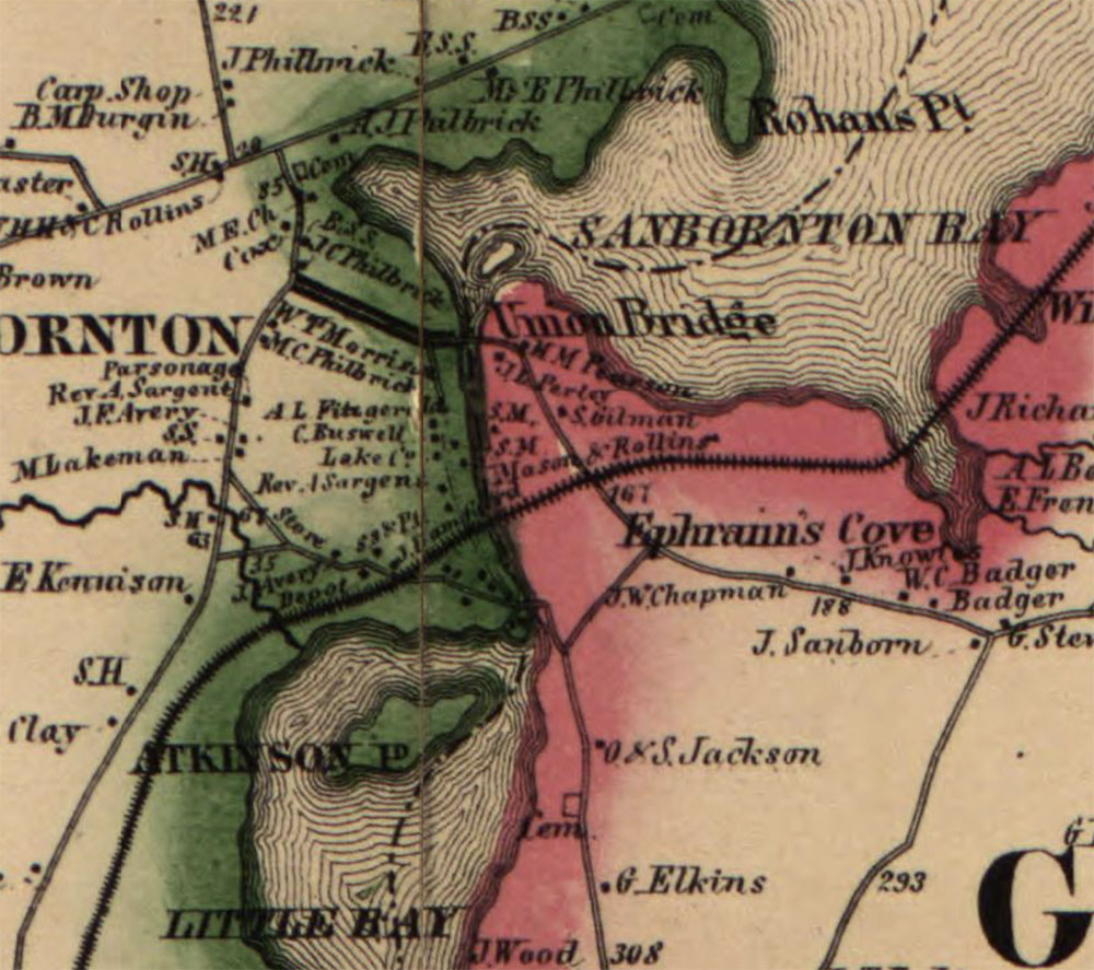
An 1860 map of Belknap County shows TWO road crossings of the Winnipesaukee River, between “Sanbornton Bay” (Lake Winnisquam), and “Little Bay” (Silver Lake). The upper road crossing is indicated as the historical Union Bridge.
Detail from the 1860 map of Belknap County.
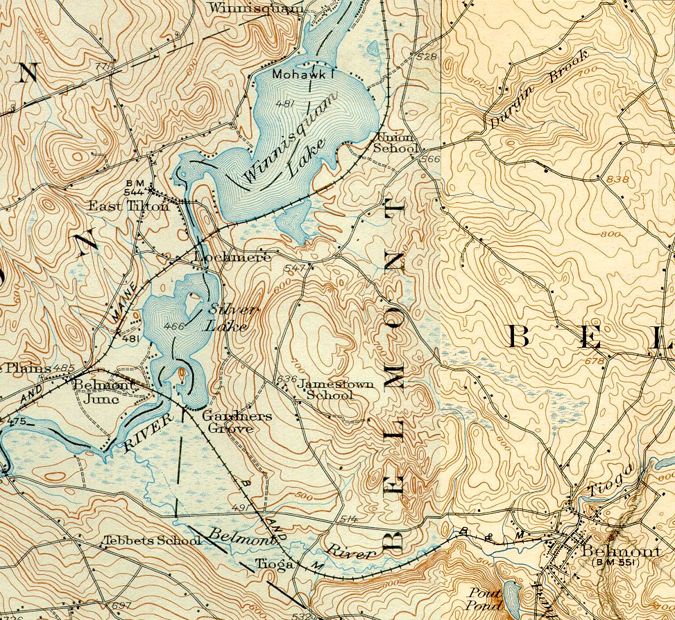
This detail from the 1927 USGS Penacook map shows the two road crossings of the Winnipesaukee River with the current modern names of the water bodies – Lake Winnisquam and Silver Lake.
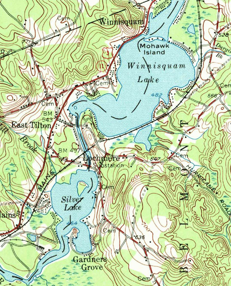
This detail from the 1956 USGS Penacook map (reprinted in 1964 and 1972) still shows two road crossings of the Winnipesaukee River between the lakes.
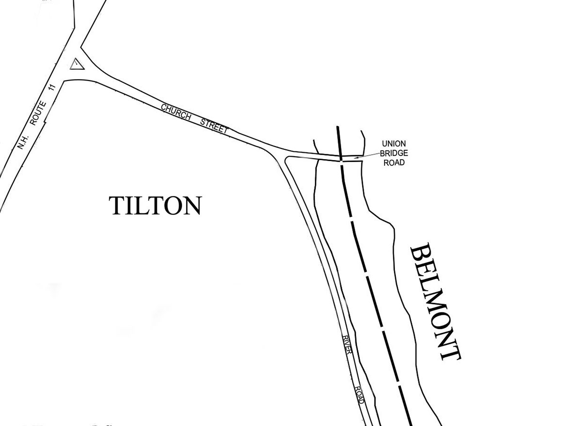
Union Bridge no longer exists. It bridged what is today Church St, in Tilton, on the west bank of the river, and Grey Rocks Rd, a gravel road in Belmont, on the east side. According to Stephen Rowe, a long-time resident on nearby River Road, a wooden Union Bridge was replaced in 1918 with a concrete span, and removed in the mid-1980s, when the concrete structure had deteriorated beyond repair.
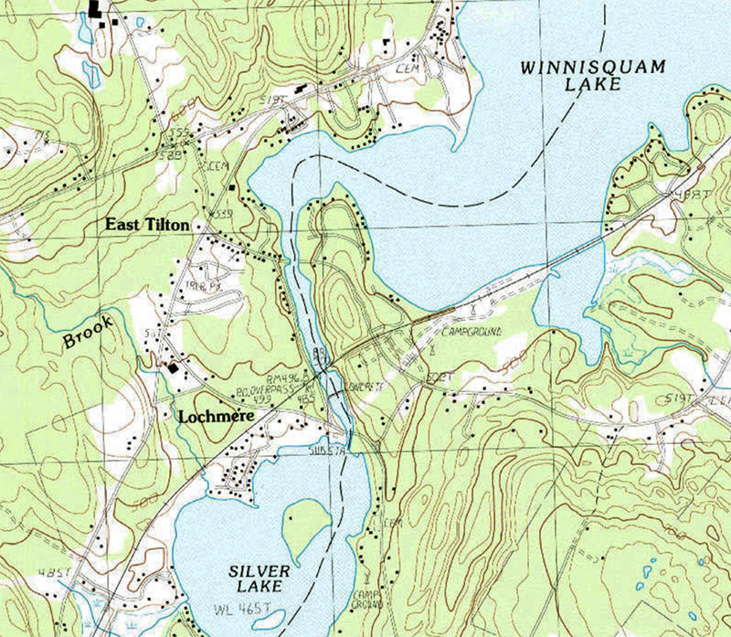
The 1987 USGS Northfield quadrangle no longer shows an upper road crossing. There is a definite water gap
Tilton property tax maps still show the Union Bridge, although it is no longer there.
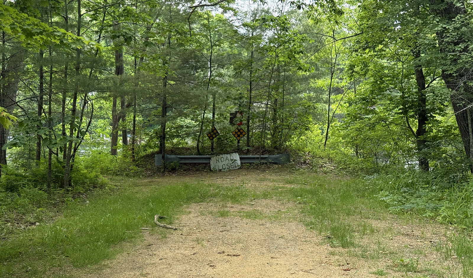
At the end of Grey Rocks Rd, there is a road closed sign where the Union Bridge used to be.
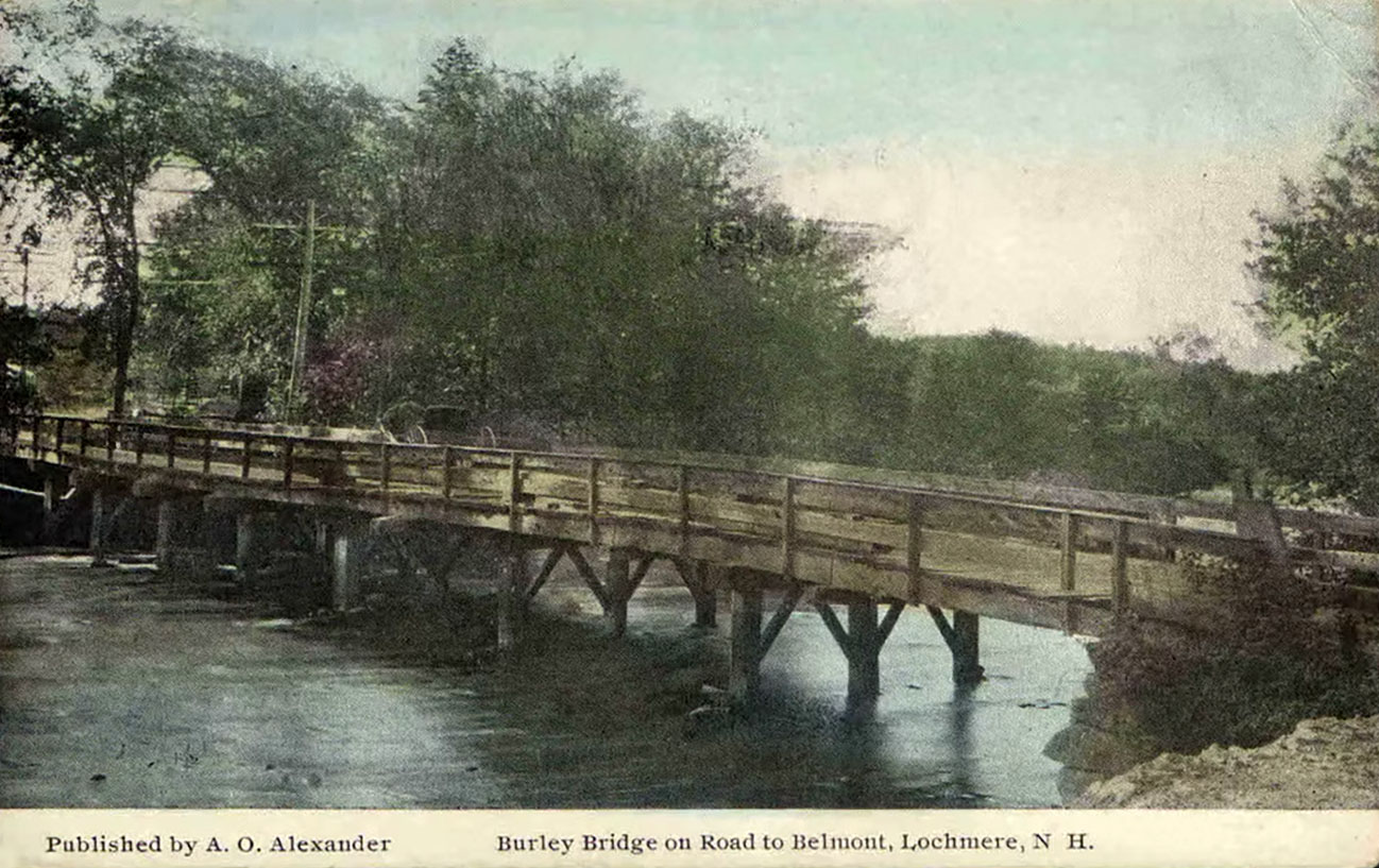
Below is an old postcard of the lower bridge. “In 1807, at the building of Burleigh’s clothing mill, the second or lower bridge — called Burleigh’s Bridge — at East Tilton, was thrown across the stream, just above its entrance into Little Bay.” (source: Rev. Moses T. Runnels, in his 1882 “History of Sanbornton”, Vol I, page 198.)
The current, two-section, Silver Lake Rd bridge was built from 1982-1984. Listed by the NH DOT as bridge 133/094. One section was built over the Lochmere hydro station canal, and the other section over the Winnipesaukee River. The Silver Lake Rd bridge connects to Jamestown Rd in Belmont.
In Tilton, just before crossing the Silver Lake Rd bridge, there is a small, grassy public access area where one can fish or take a dip in the lake.
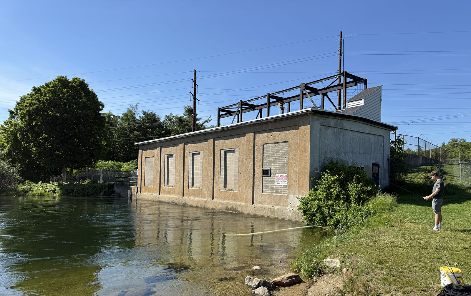
The Lochmere Power Station is seen in an old postcard.
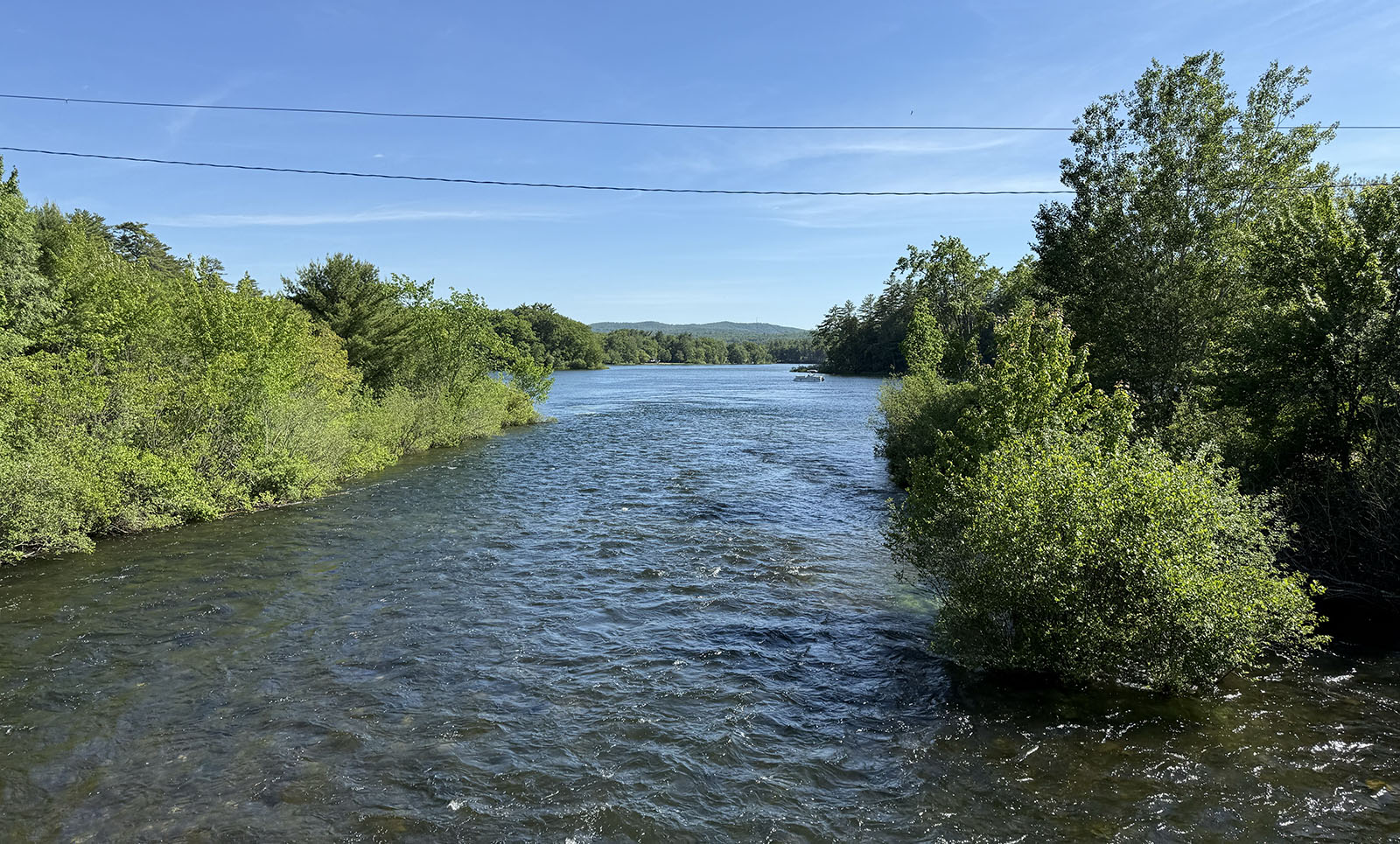
Looking downstream from the Silver Lake Rd bridge towards Silver Lake on June 8, 2026. The town of Belmont is to the left, while the town of Tilton is to the right.
Lochmere Railroad Bridges
The railroad bridge over Grey Rocks Road, about 1/2 mile north of the Winnipesaukee River railroad trestle. Listed by the NH DOT as bridge 052/111, the bridge was built in 2000.
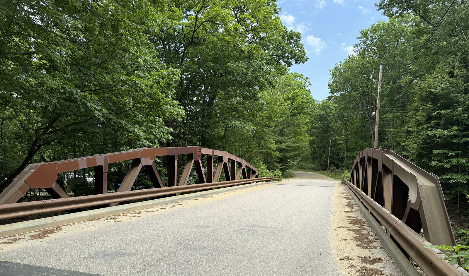
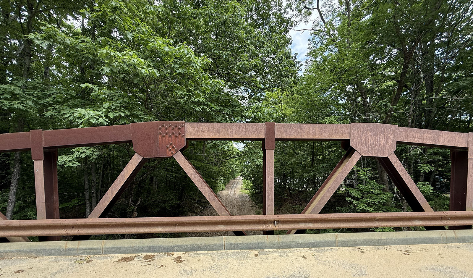
This railroad trestle bridge over the Winnipesaukee River, just above the Lochmere dam, also bridges River Road, right. Listed by the NH DOT as bridge 131/098, the bridge was built in 1915.
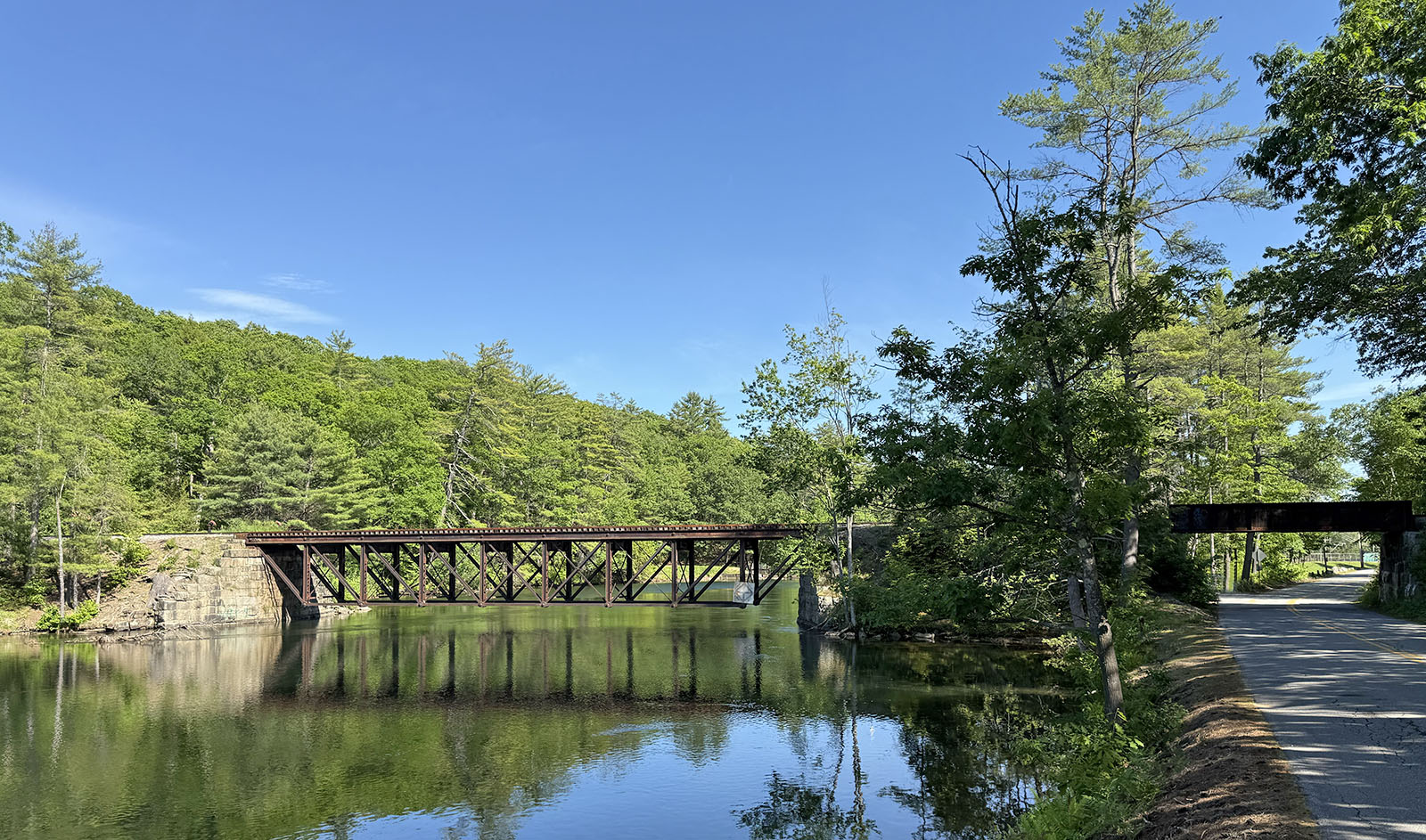
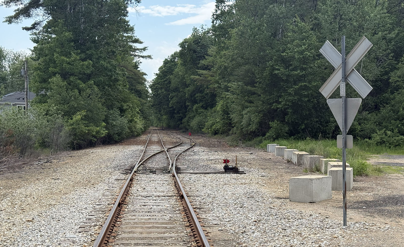
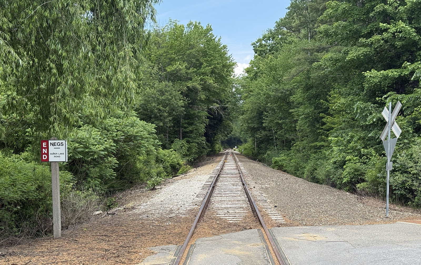
South of the railroad trestle, the railroad reaches Silver Lake Rd. This intersection in Lochmere marks the southern end of the Granite State Railway’s lease of the railroad tracks. From Weirs Beach south, the Railway offers regular rides only to Lakeport, and a rail bike attraction from Laconia to Winnisquam. Why the tracks from Winnisquam south to Lochmere are not used for tourist purposes is unknown.
Looking north from the Silver Lake Rd intersection. The sign marks the northern end of the New England Southern Railroad’s lease of the railroad tracks from Concord to Lochmere, a 19-mile stretch of tracks used for freight customers only. (NEGS is a reporting mark for New England Southern.)
There is a railroad siding only a few feet south of the Silver Lake Rd intersection.