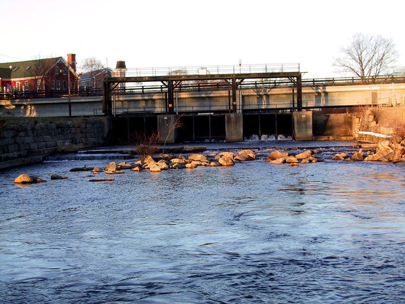
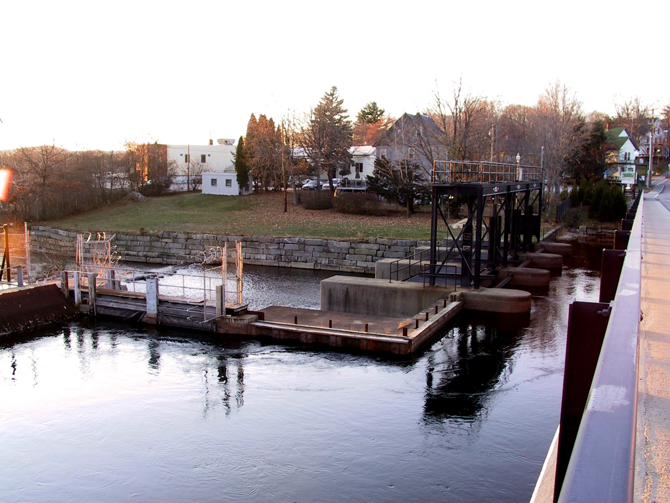
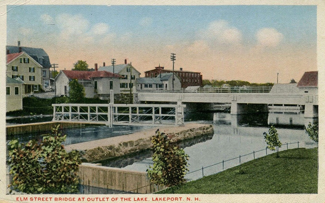
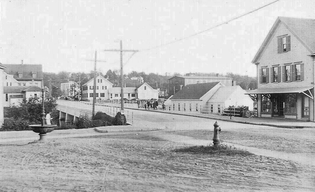
The Lakeport Dam
For extensive information about the operations of the Lakeport dam, click here. Move your cursor over the triangles on the NH map and click on the Lakeport Dam triangle. Or, click on the “List” tab, and scroll down to and then select LKPN3, the code for the Lakeport Dam. Then, click on the “Station Information” tab at the top right.


