The Shore Path
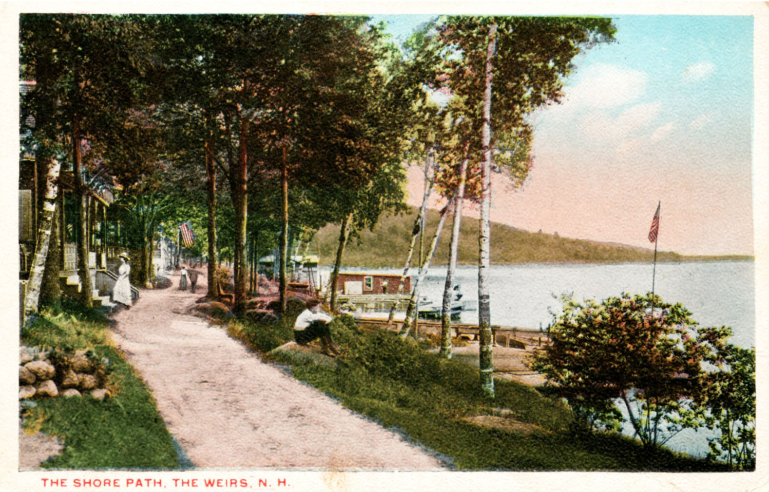
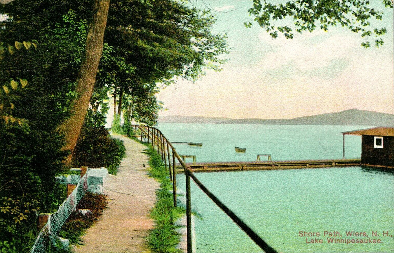
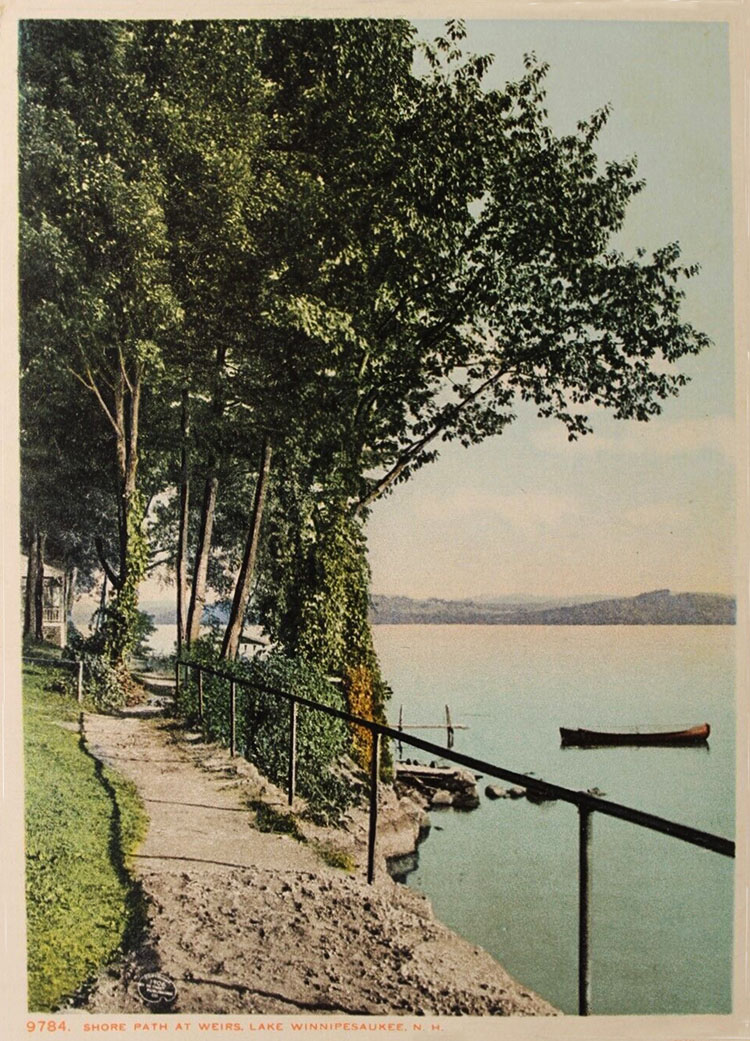
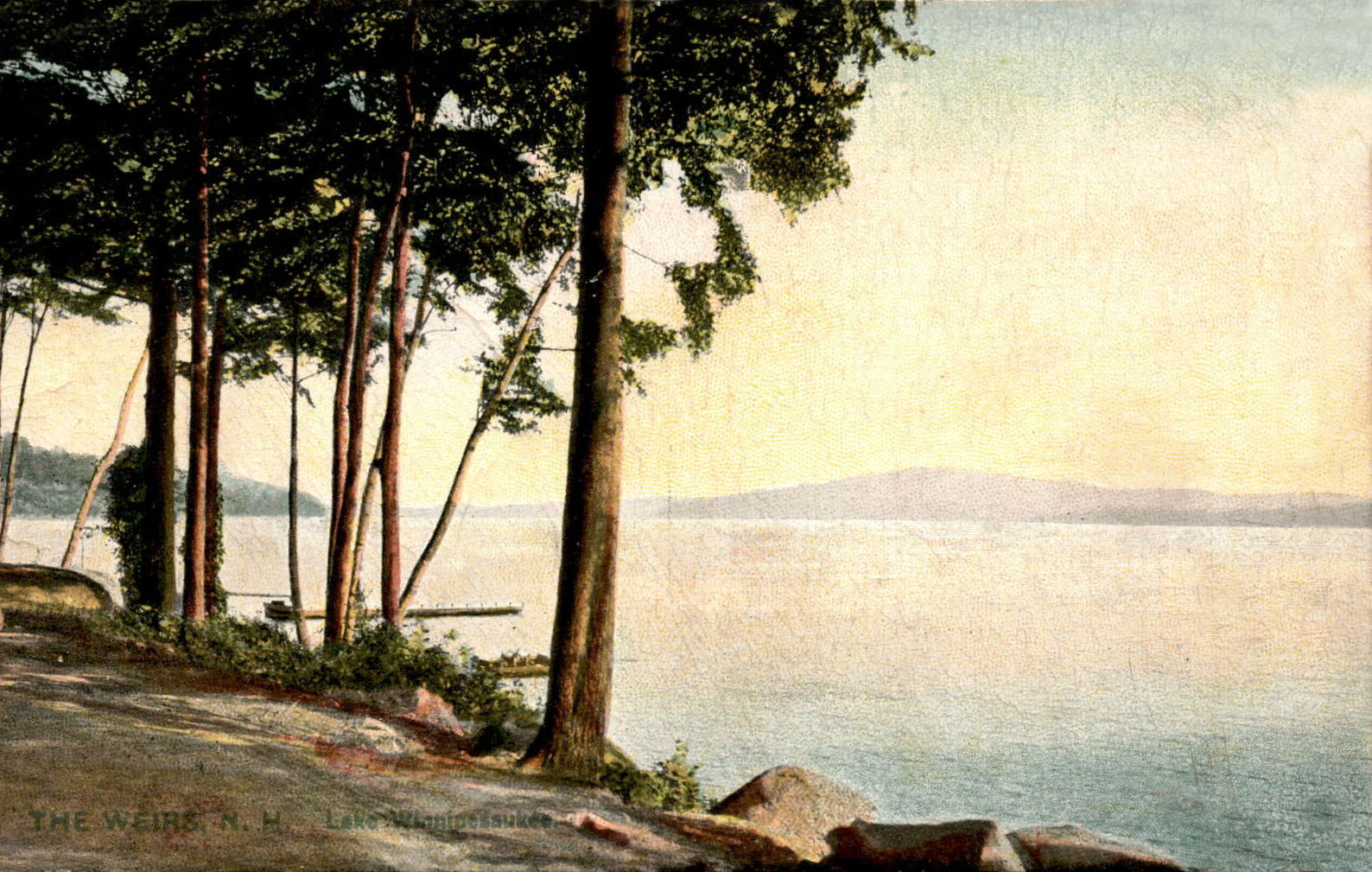
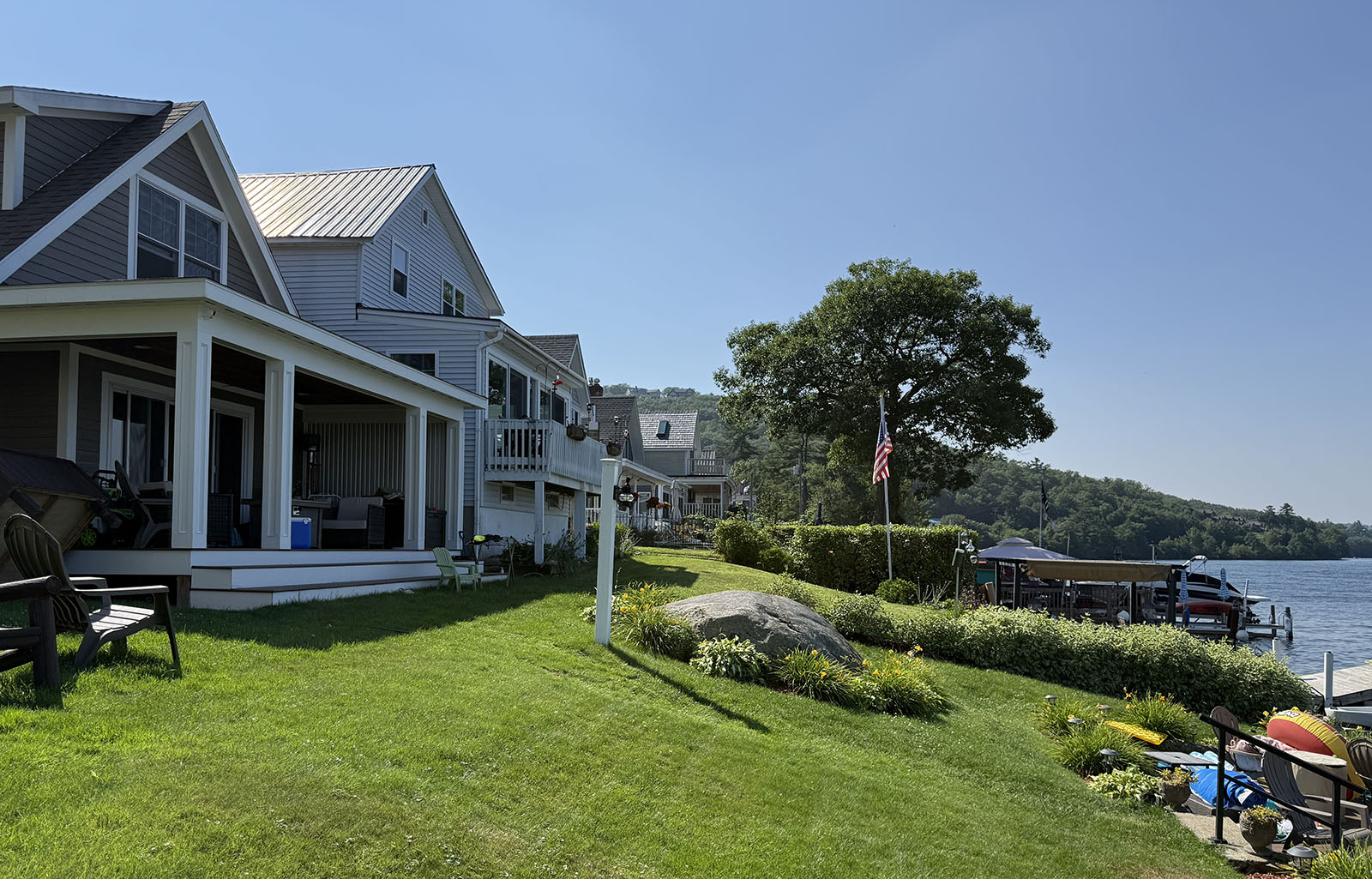
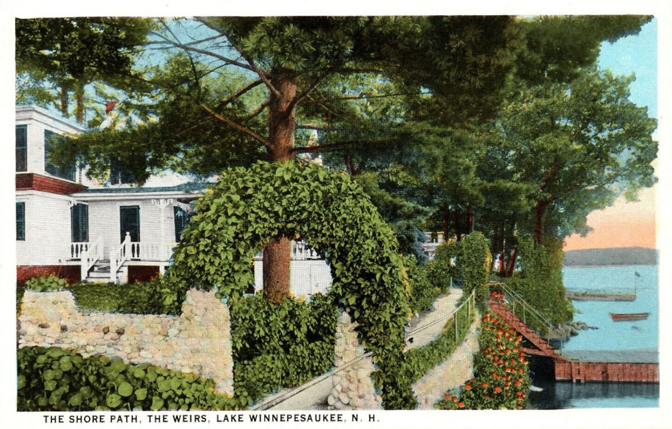
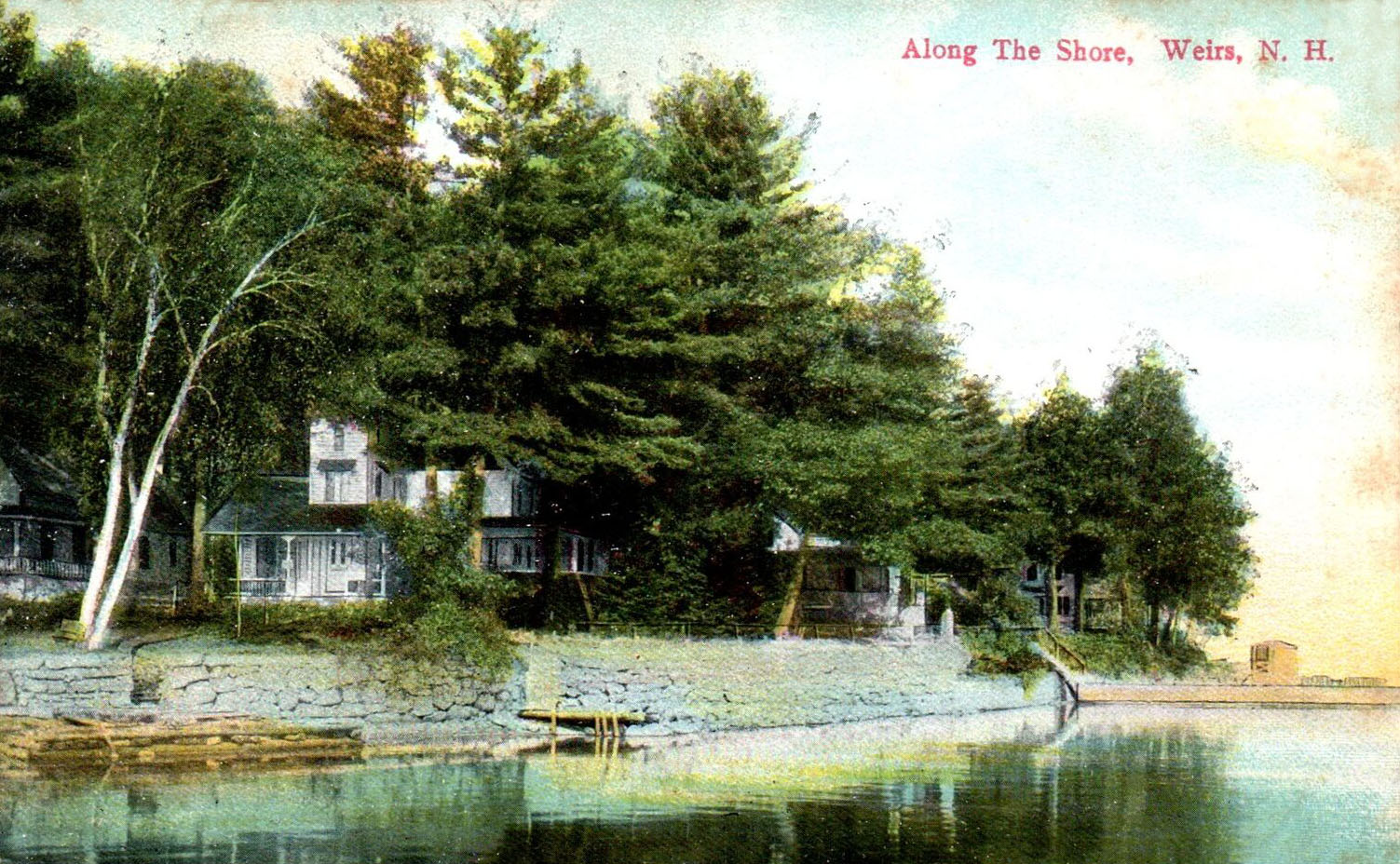
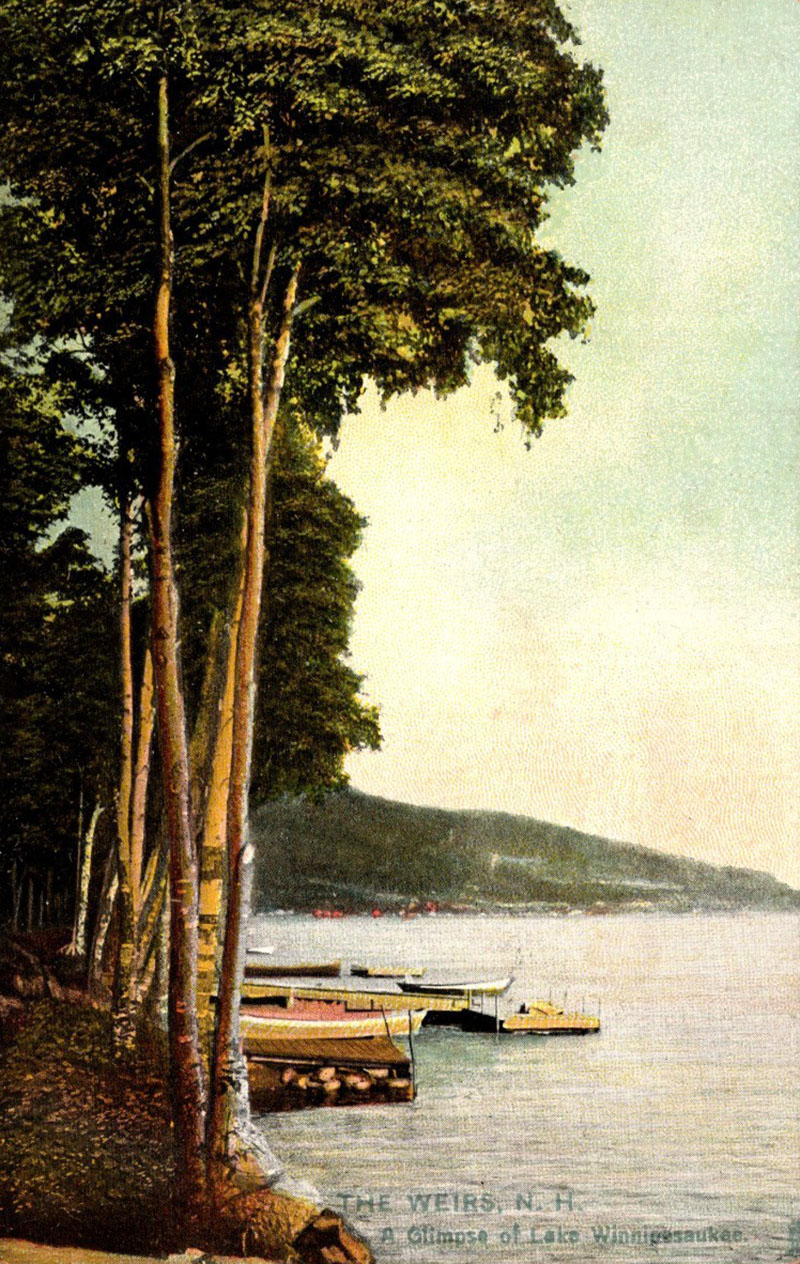
The Shore Path was a walkway along the eastern, Lake Winnipesaukee edge of the Methodist Campground. It followed the shoreline around Doe Point, from today’s Winnipesaukee Pier to the Akwa Marina. For the most part, the pathway no longer exists, as private lakefront property homeowners have closed off access over the years. As of 2025, there are 18 separate, shorefront properties along the former shore path, with an average valuation of $1,350,000.
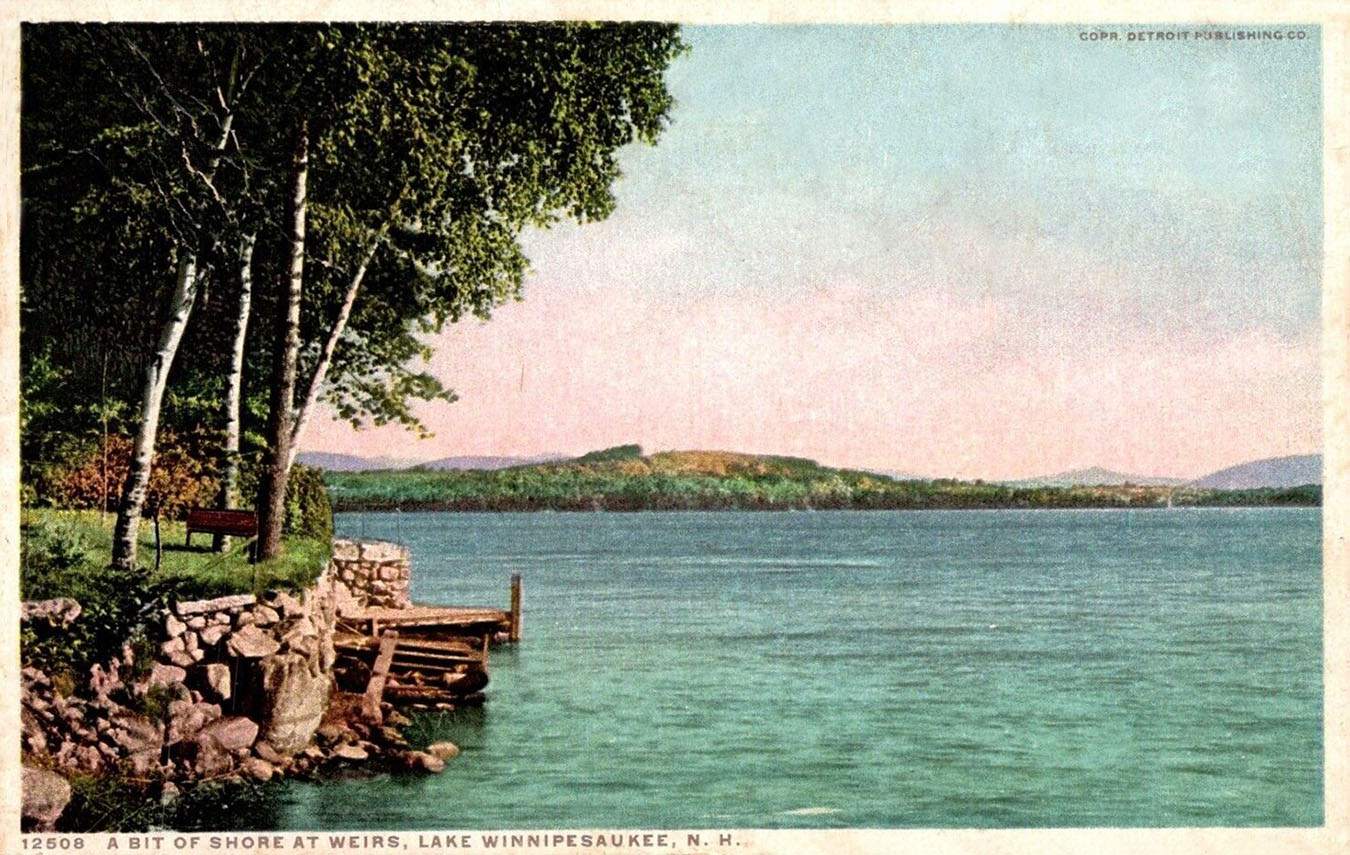
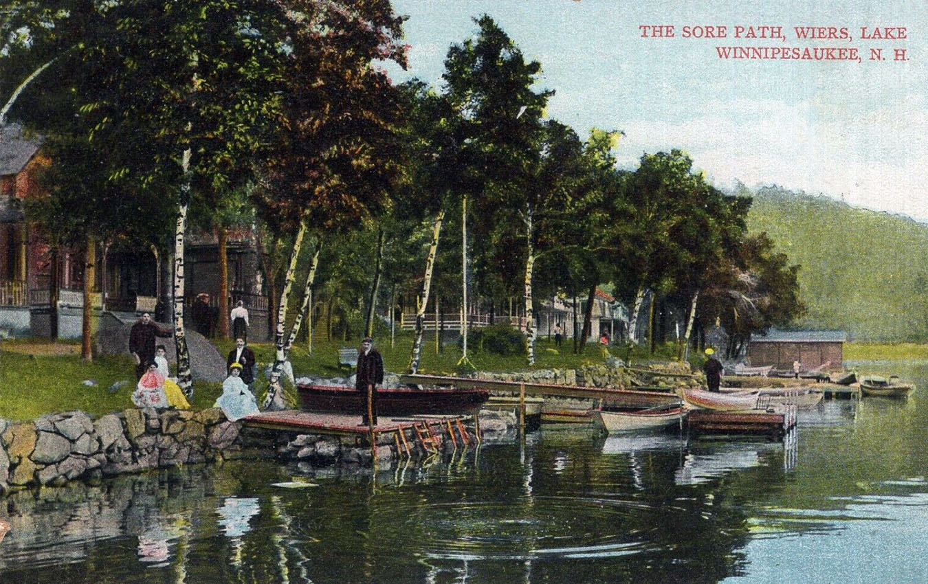
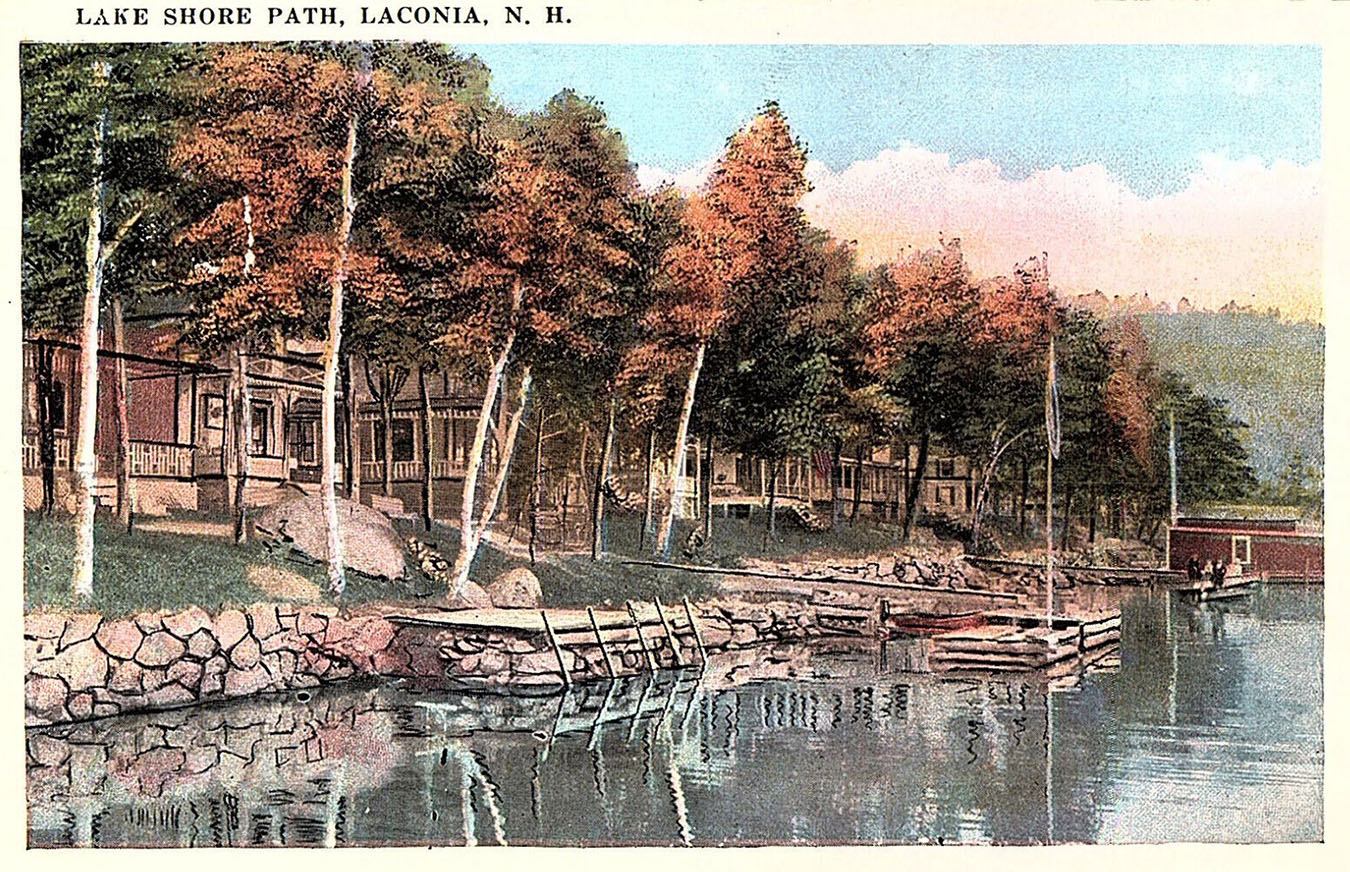
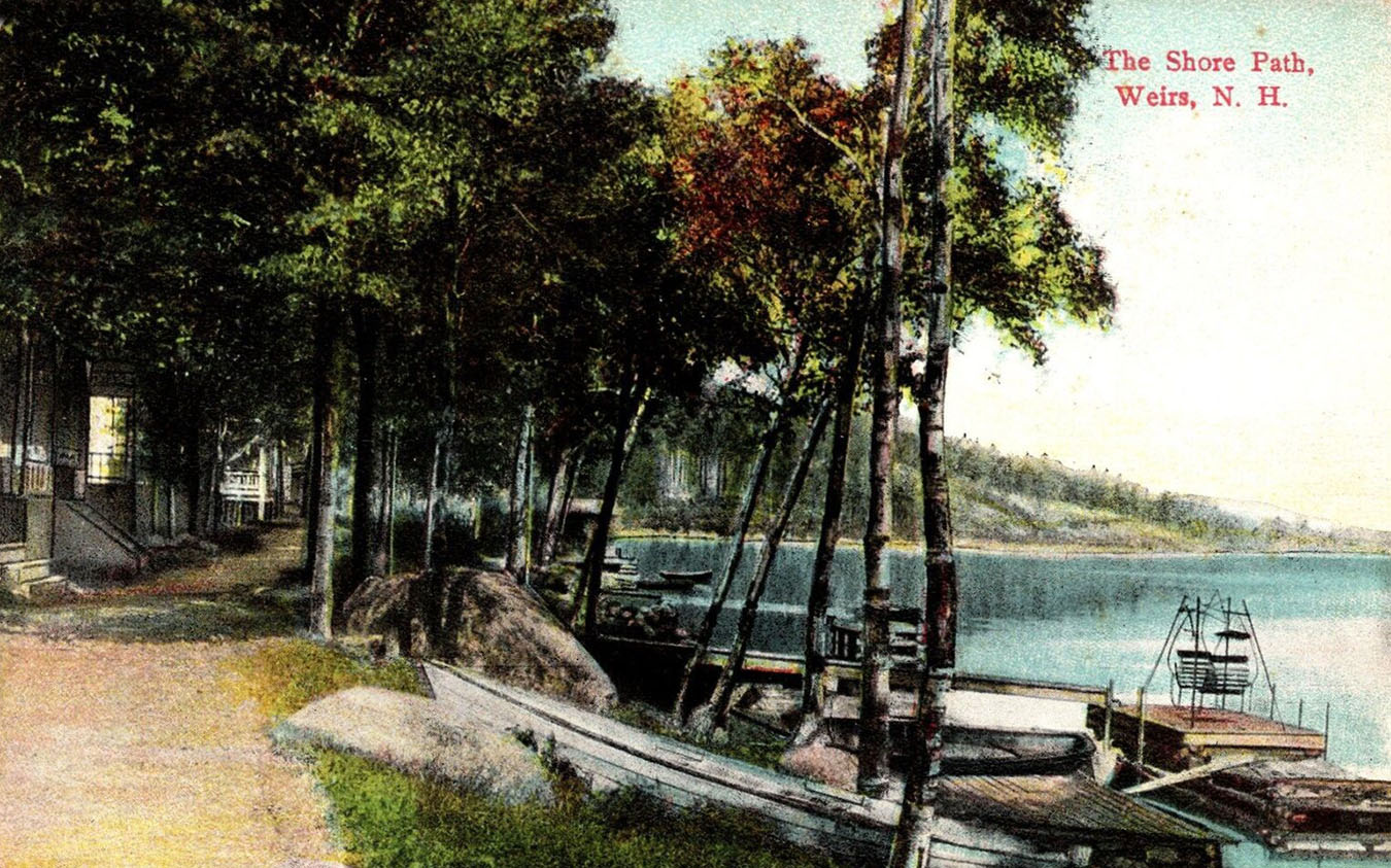
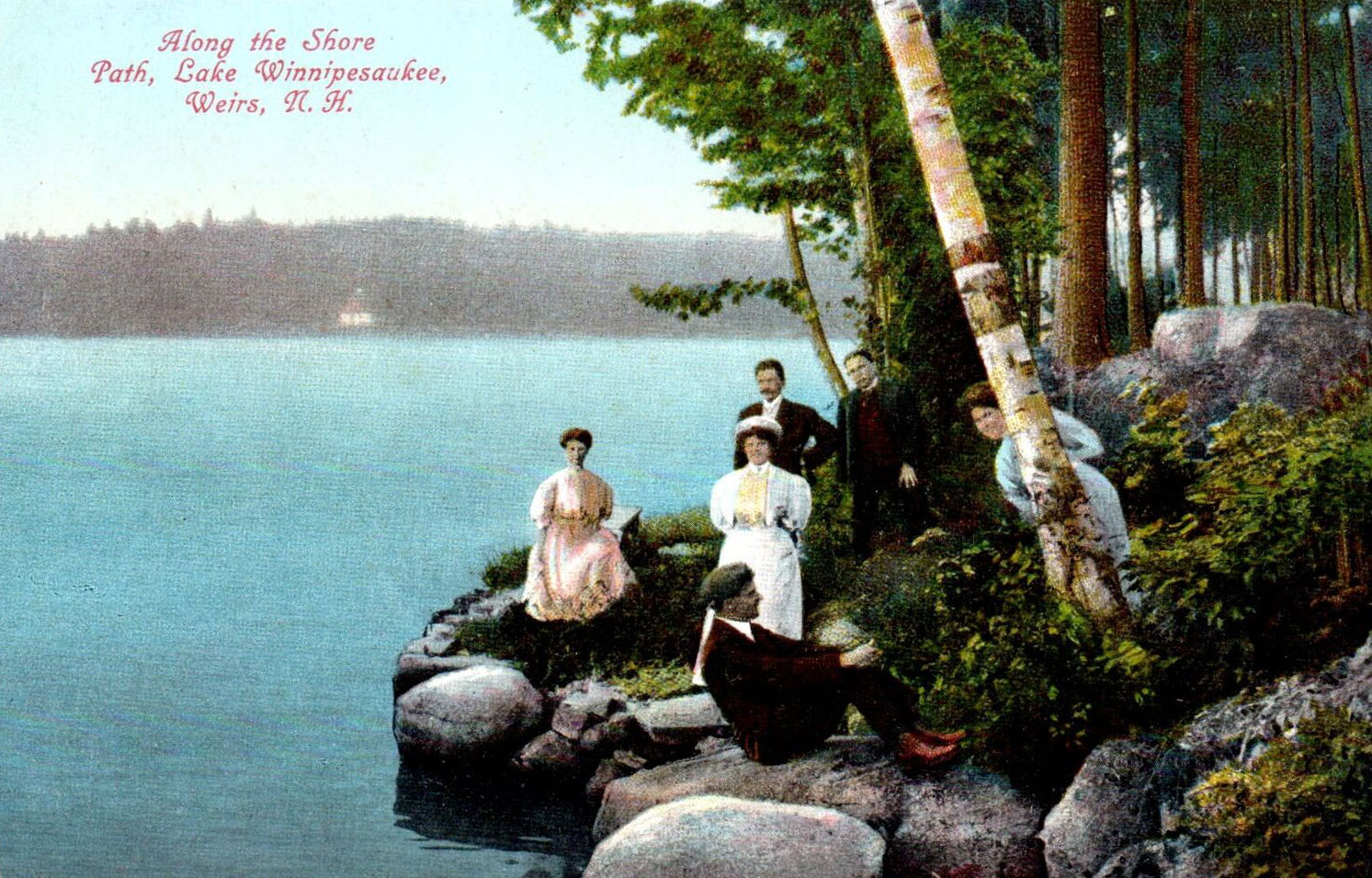
Various postcard views of the Shore Path. The first card called the path the “Sore” Path and mis-spelled the “Wiers”. The card shows a family gathered at their house on the Weirs waterfront, but does not show the actual path. Right behind the family is a large rock, which is also seen in the following two old postcards. This rock still exists, as seen in the contemporary photo below, taken on July 15, 2025. This unnamed rock should not be confused with “Profile Rock”, a more famous rock on the Shore Path (see below).
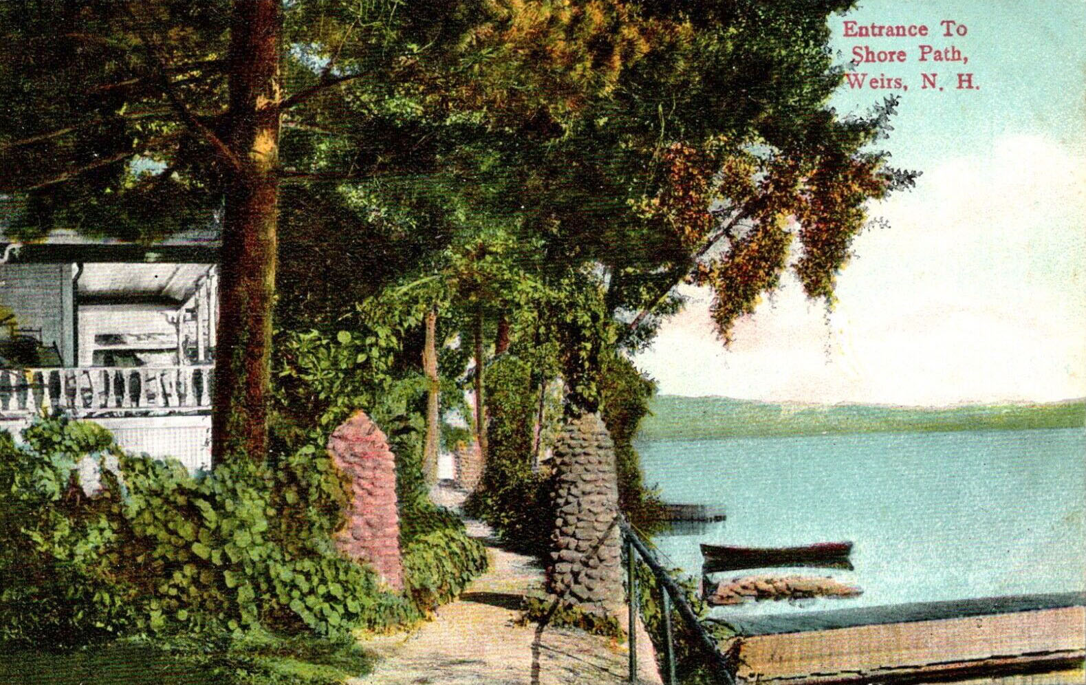
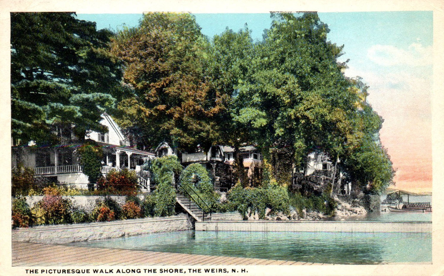
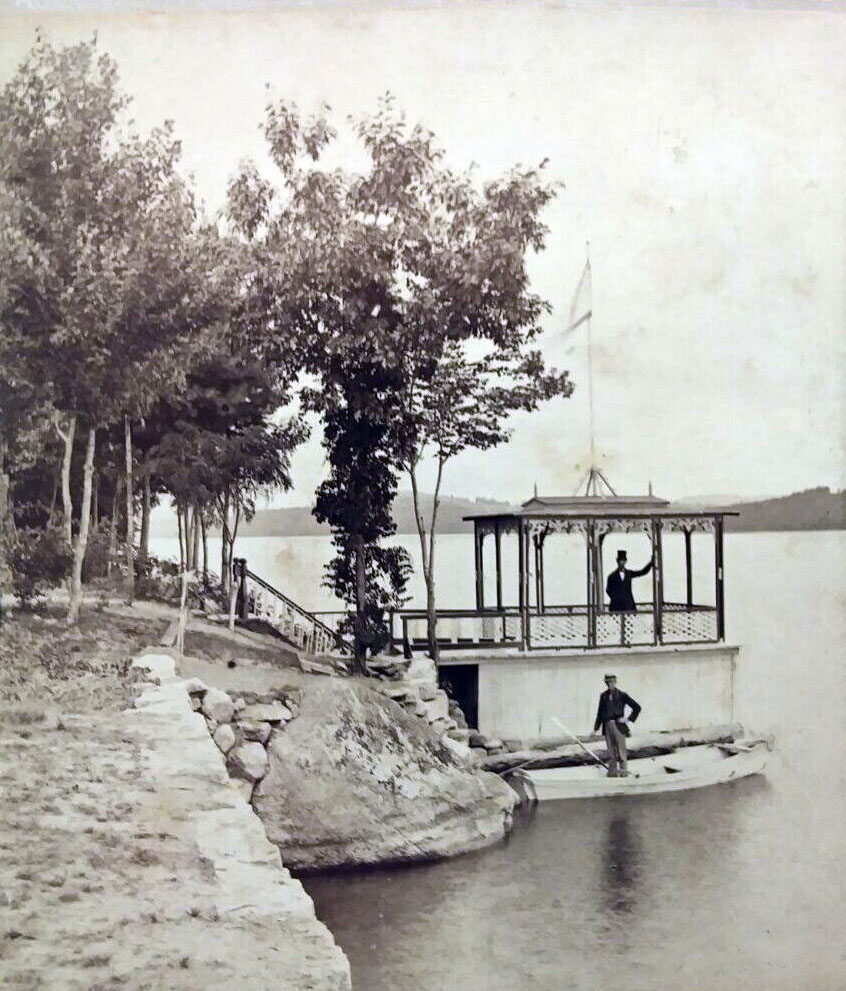
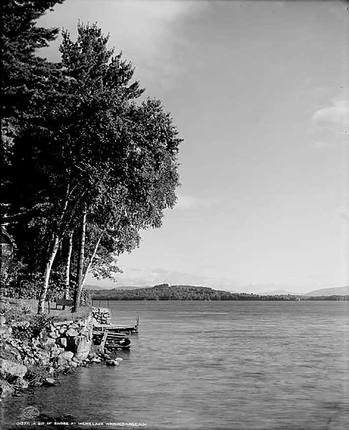
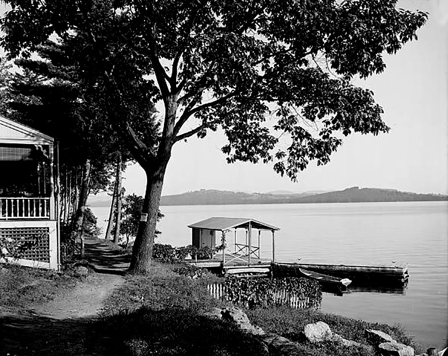
The following postcards show the entrance to the Shore Path. All of the postcards and photos of the Shore Path on this webpage (except the one indicated) are looking in the same, northward direction.
A bit further along the Shore Path from the entrance.
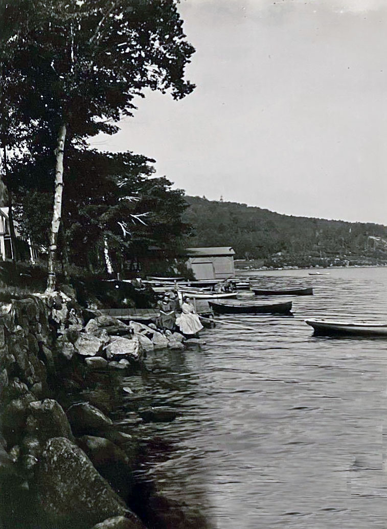
Ladies fishing, along the Shore Path. Brickyard Mountain is seen descending down to the lake in the background of the photo.
Profile Rock (Old Man of Winnipesaukee)
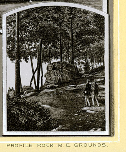
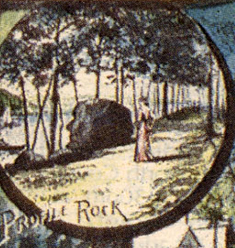
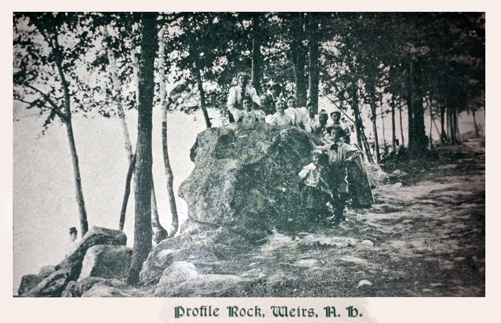
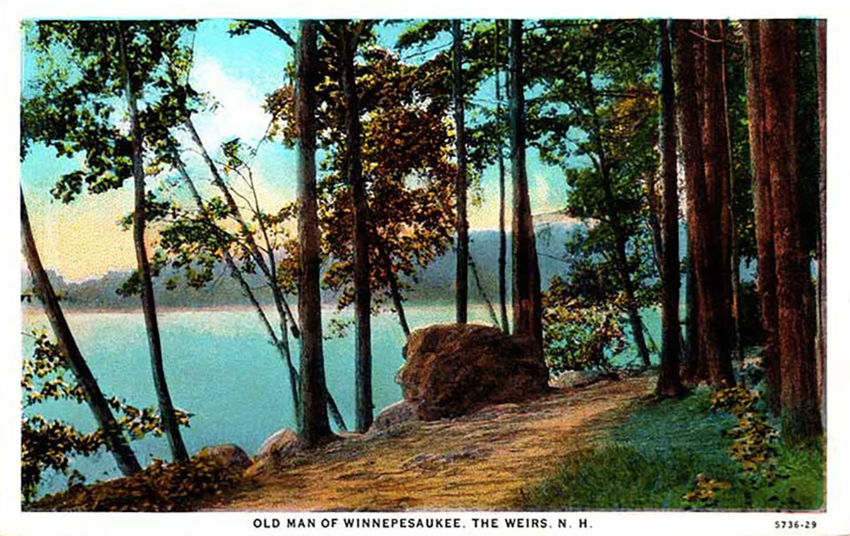
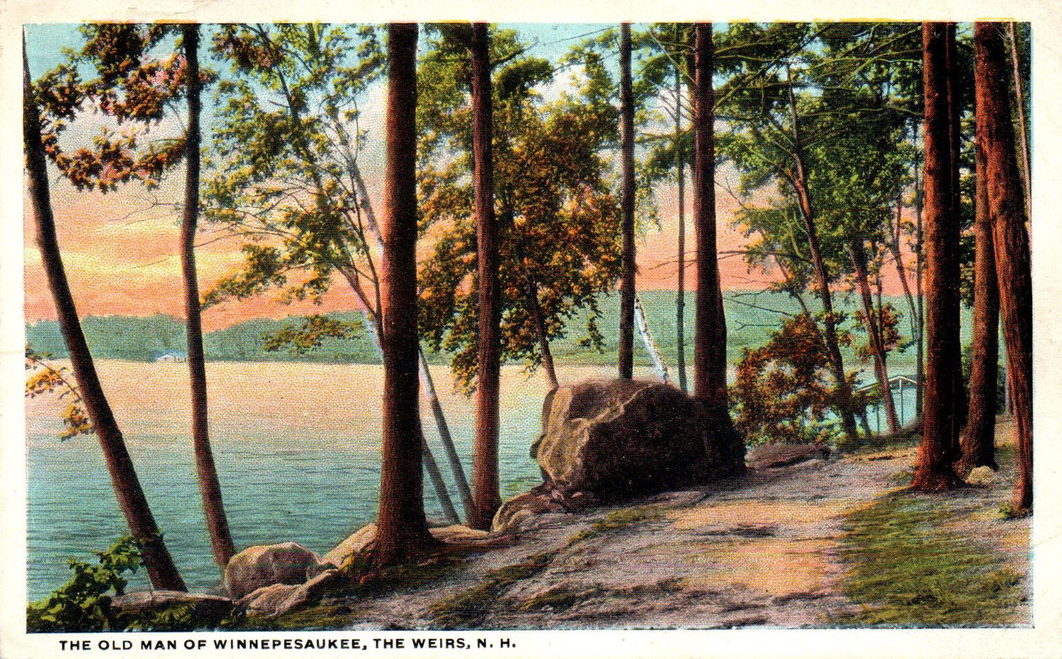
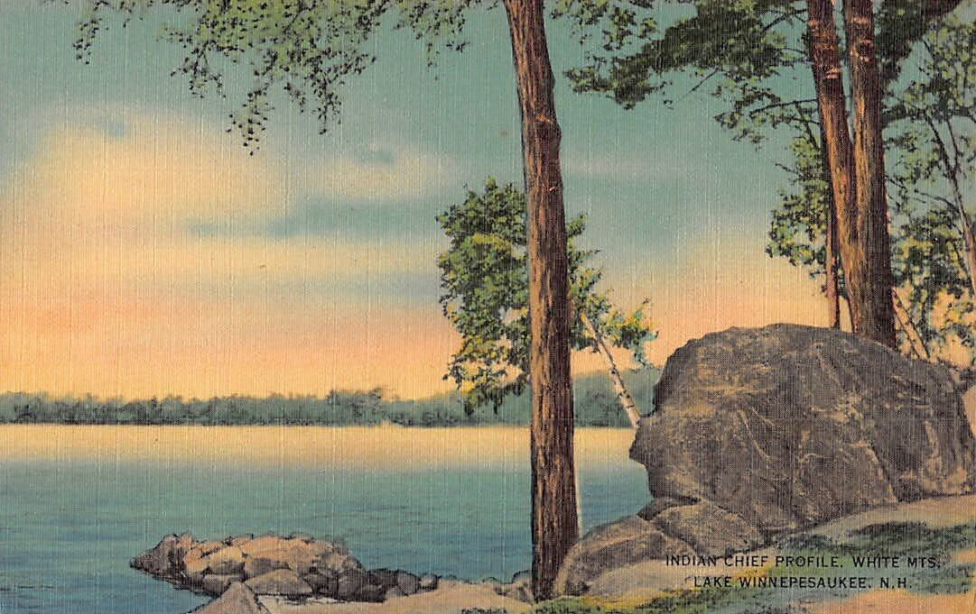
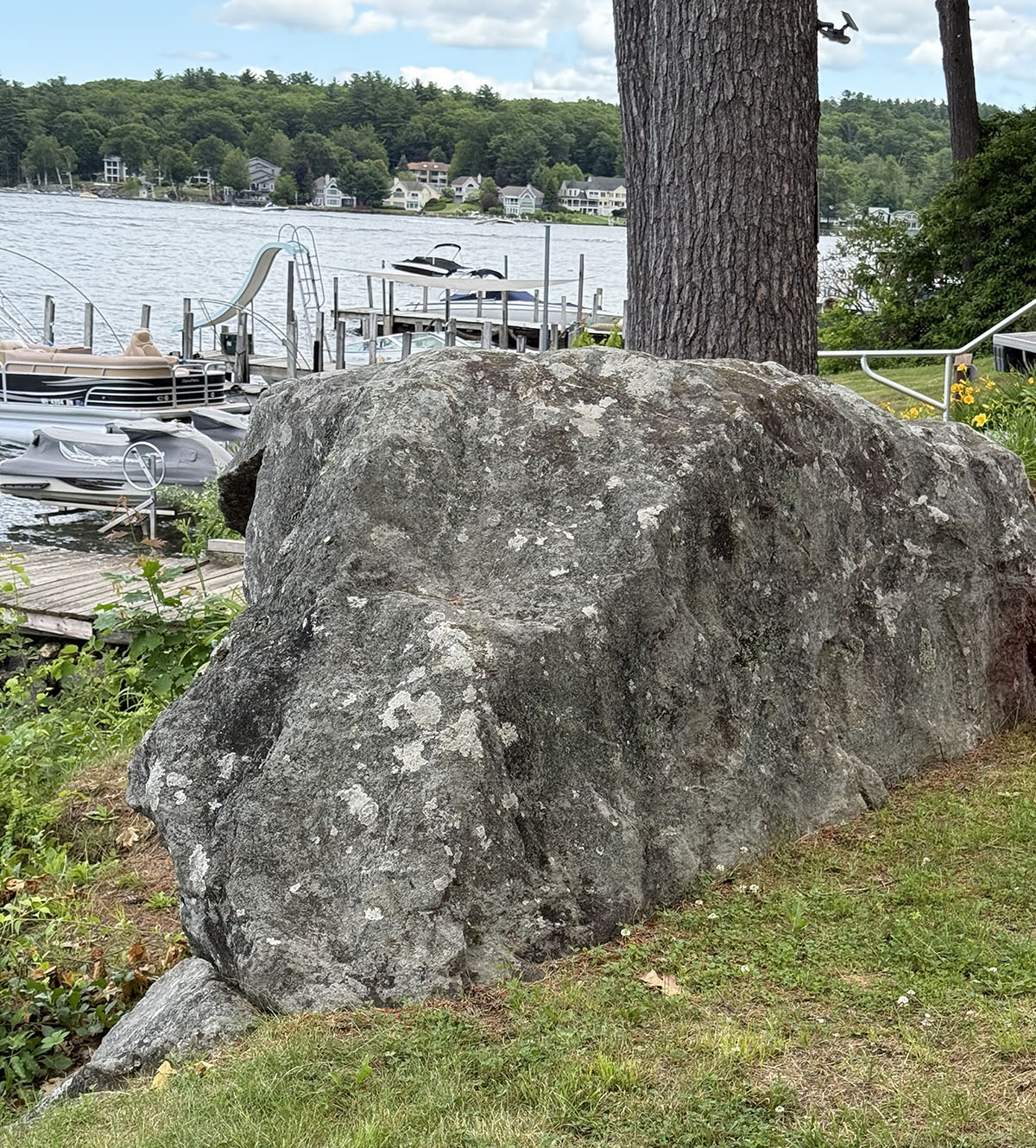
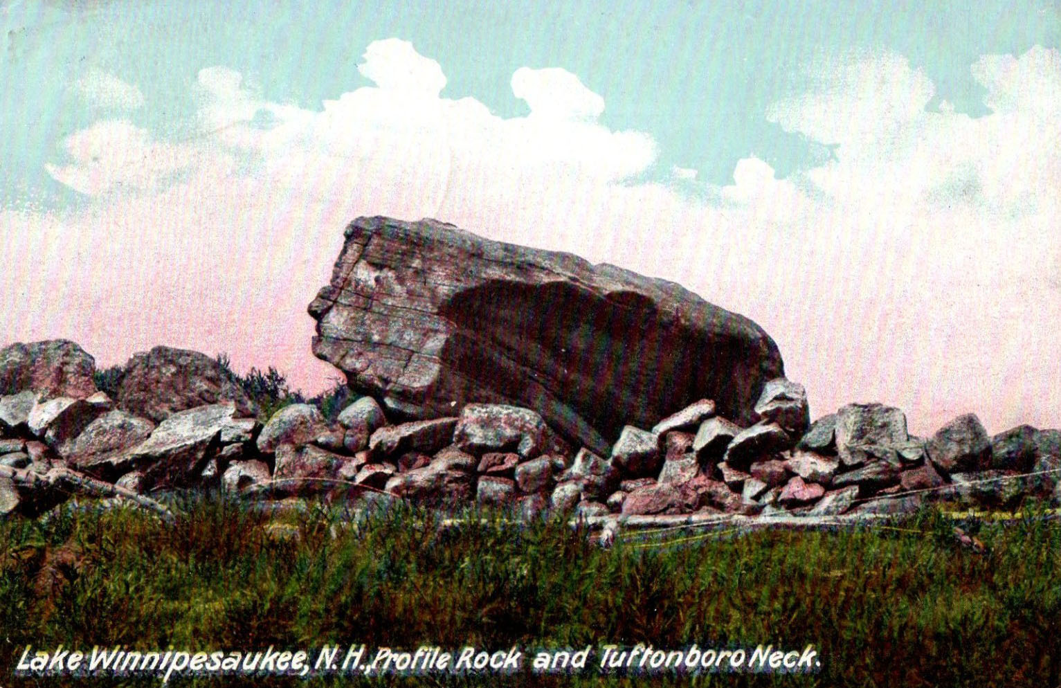
Walkers heading south along the shore path encountered an unusual rock that resembled an old man. The rock was first dubbed “Profile Rock” in the 1880s. Later, the rock was glorified in a couple of old postcards as “The Old Man of Winnipesaukee”, taking a cue from New Hampshire’s state emblem, the former Old Man of the Mountain, which crumbled down Cannon Mountain in Franconia Notch in 2003. Unlike the Old Man of the Mountain, Profile Rock is still intact today, sitting right in front of the former auditorium at Methodist Circle.
Engraving from the 1889 “Weirs Souvenir” booklet.
Illustration from a 1892 Lakeside House advertisement
In an even later postcard, the rock is called an “Indian Chief” of the White Mountains, perhaps recalling Indian Head (Mt. Pemigewassett, in Franconia Notch.)
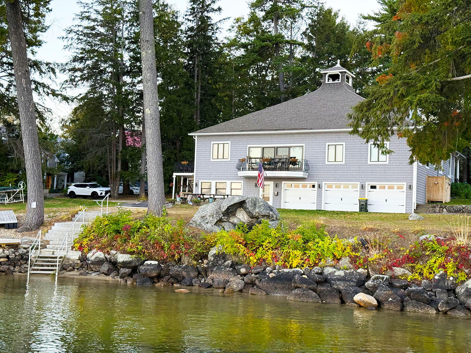
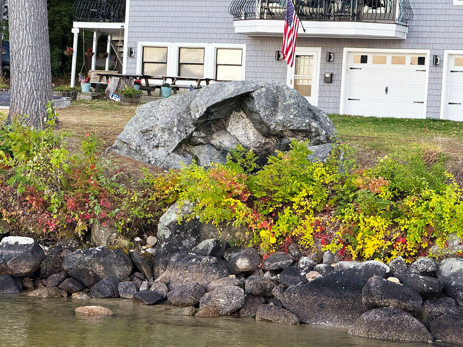
The other side of Profile Rock was a hollowed out cavity that can be seen in the photos below. Methodist Circle residents familiar with the history of the Rock have said that fires were often set in the cavity by the Native Americans that inhabited Weirs Beach before white settlement. The fires were used as a beacon to guide nightime paddlers back to their village, or as a daytime source for smoke signals. Photos taken October 3, 2025.
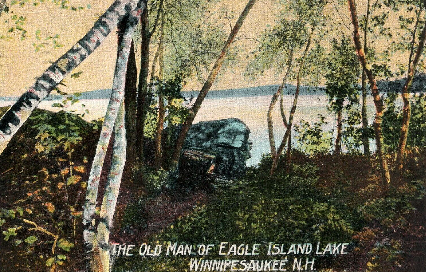
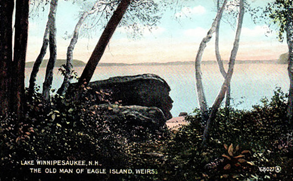
Old Man of Eagle Island
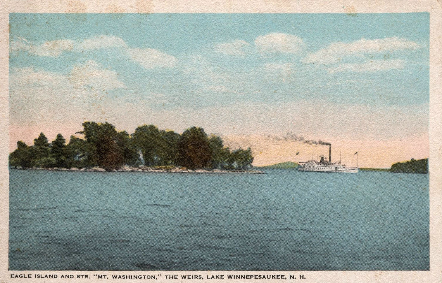
Not to be confused with the Old Man of Winnipesaukee on Doe Point, there was another “Old Man” rock in Weirs Bay, located on Eagle Island. Eagle Island is located close to Governor’s Island. There is a narrow channel between the two islands used by boats leaving or entering Weirs Bay. It is not known if the rock is still there.
Eagle Island was named for the eagles that nested in an old tree on the island in the last part of the nineteenth century. The first house on the privately-owned island was probably built in the 1890s, when the island was first sold by the State of NH. There were 4 different owners from 1893-1916, then the same owners, the Wright family, from 1916-1975. In 1975, the island was bought by Corning Benton, who wrote a history of the island in 1994. The current house on the island was built by the Wrights in 1918, and much improved by the Bentons. One of their main tasks was to add electric service to the island, which was finally accomplished on June 20, 1988, when an underwater cable from Pitchwood Island was turned on. In 2000, the Bentons sold Eagle Island. It has been sold several times since then. Corning Benton passed away in 2013.
Benton wrote that the Old Man of Eagle Island was called “The Mentor”. Benton wrote, “A path leads to a clearing on the southeast side of the island. Look down the path at the boulder on the shore—the stone face you see is called The Mentor. If you come closer and shift your head a foot or so to the left, the Mentor changes into a softer and different profile, the Mentor’s Lady.” Benton added no further details in his Eagle Island book about The Mentor.
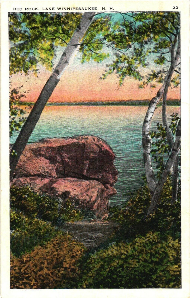
In the following postcard, the Old Man of Eagle Island is referred to simply as the “Red Rock”. It is doubtful the rock was actually reddish, as granite is gray in color, as seen in the previous three postcard depictions. More likely, this postcard was just an allusion to an Indian Chief, i.e., a “Red Man”. Both terms are considered offensive today, instead of the politically correct term, “Native American”.
Other Lake Winnipesaukee Rocks
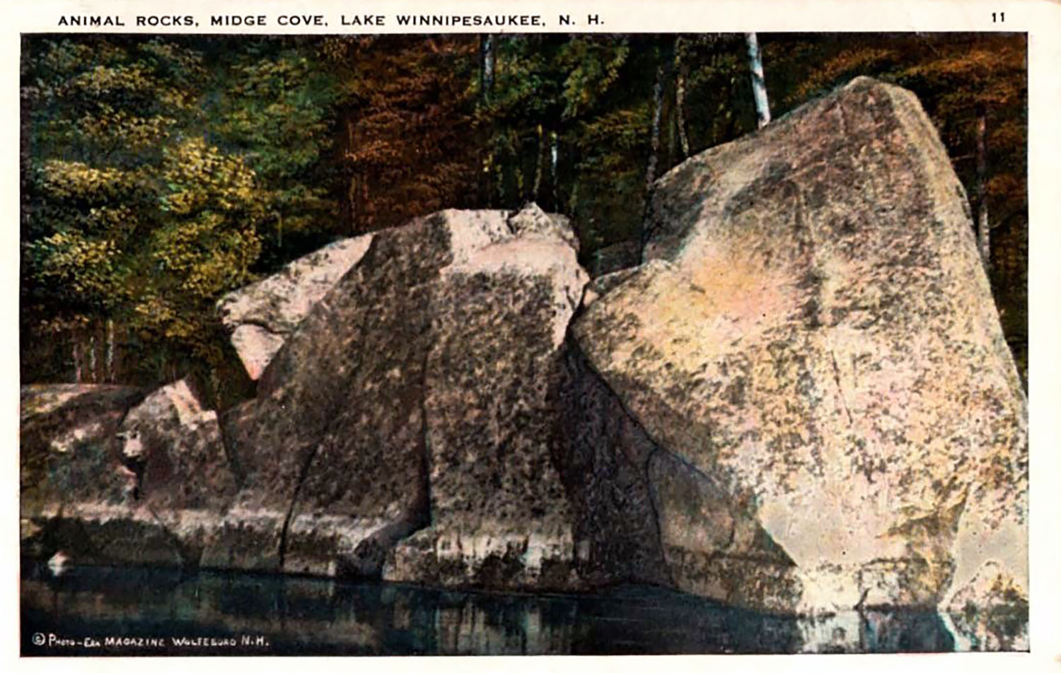
The psychological phenomenon of seeing familiar shapes, such as faces or animals, in natural objects like rocks or clouds, is called Pareidolia. It is a human trait believed to have evolved long ago as a survival instinct, in order to quickly identify objects as friend or foe.
The theme of an old man pictured in rock was widespread during the early postcard era. Here is a postcard of another “Profile Rock” on Lake Winnipesaukee, this time in Tuftonboro.


