State of New Hampshire Visitor Website
NAME OF ORGANIZATION | COMMUNITIES COVERED | WEBSITE ADDRESS |
|---|---|---|
| New Hampshire Department of Resources and Economic Development Division of Travel & Tourism Lakes Region (map) | Alexandria, Alton, Alton Bay, Ashland, Barnstead, Barrington, Belmont, Bridgewater, Bristol, Center Barnstead, Center Effingham, Center Harbor, Center Ossipee, Center Sandwich, Chocorua, East Hebron, East Wakefield, Eaton, Farmington, Franklin, Freedom, Gilford, Gilmanton, Gilmanton Ironworks, Hebron, Hill, Holderness, Laconia, Lower Gilmanton, Madison, Melvin Village, Meredith, Mirror Lake, Moultonborough, New Hampton, North Sandwich, Northfield, Ossipee, Pittsfield, Plymouth, Rochester, Rumney, Sanbornville, Sanborton, Sandwich, Silver Lake, Snowville, South Tamworth, Stinson Lake, Tamworth, Tilton, Tuftonboro, Union, Wakefield, WEIRS BEACH, West Ossipee, West Plymouth, Winnisquam, Wolfeboro, and Wonalancet | visitnh.gov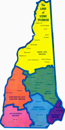 |
Multiview Tourist Maps of NH
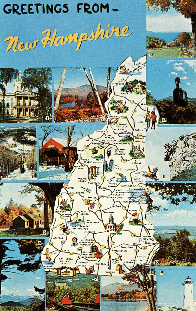
NH multiview map with 13 views. 1) State House, Concord 2) Lake Chocorua 3) Aerial Chairlift, Mt. Sunapee State Park 4) Covered Bridge, Jackson 5) Daniel Webster Birthplace 6) View of Mt. Washington 7) Skimobile, Cranmore Mt., No. Conway 8) Mt. Chocorua 9) Portsmouth Light 10) Lake Winnipesaukee 11) Old Man of the Mountains 12) Cannon Mt. Aerial Tramway 13) View from Mt. Sunapee
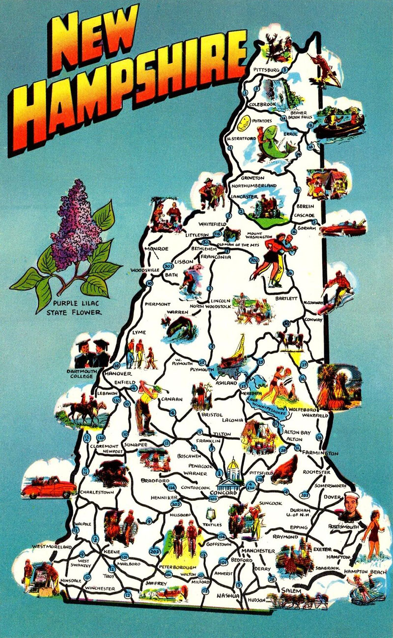
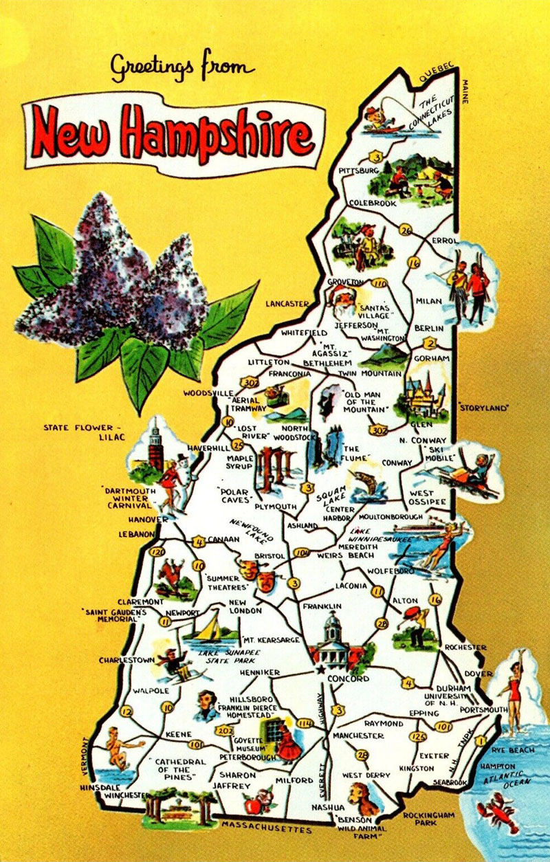
Illustrated maps of New Hampshire, highlighting various attractions around the state, as well as the state flower, the Purple Lilac.


