Lake Winnisquam
The Winnisquam Bridge
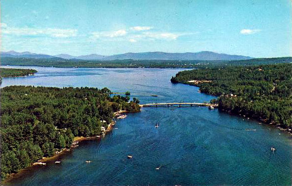
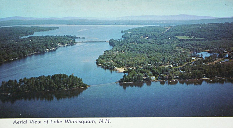
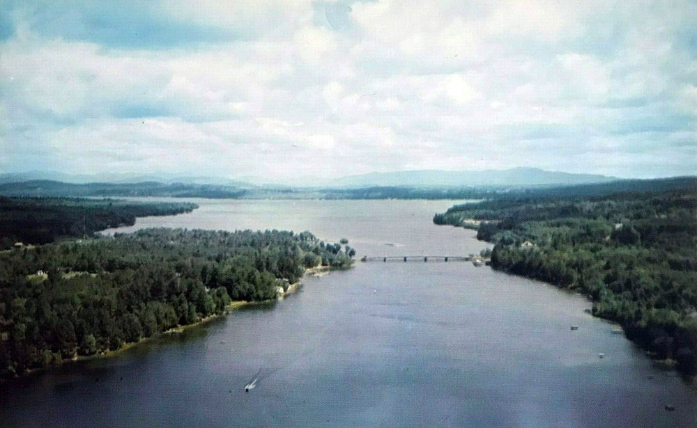
An aerial view of the Winnisquam bridge, looking north. The 1974 bridge was the third version of the bridge, and was redecked and repaved in 2006-2007 at a cost of about $3.5 million. The towns of Sanbornton and Tilton meet on the west side of the bridge (left side in this photo), with Sanborton to the north and Tilton to the south. On the east side of the bridge (right side in this photo) is the town of Belmont.
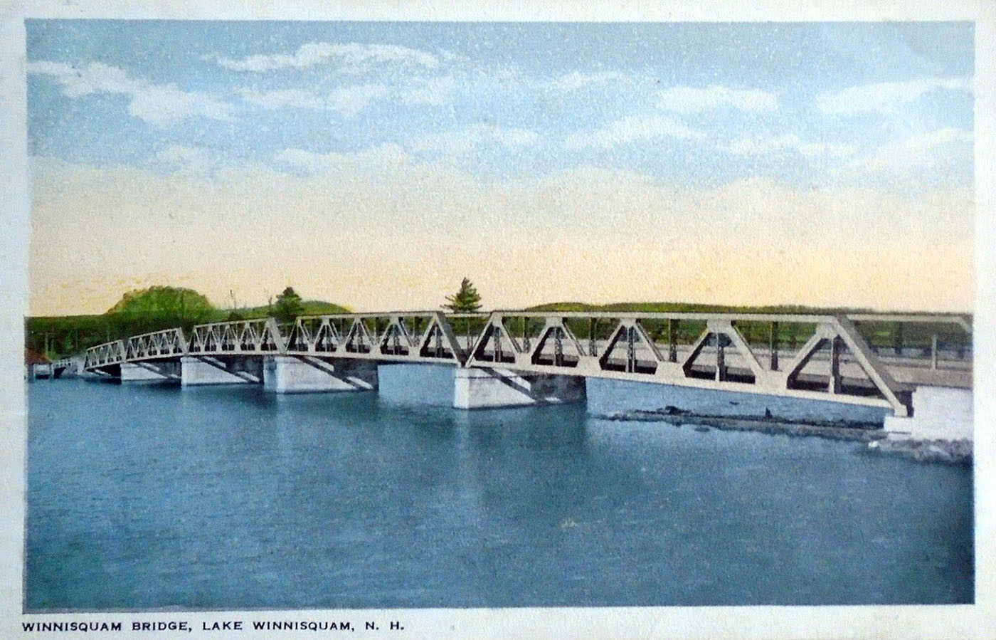
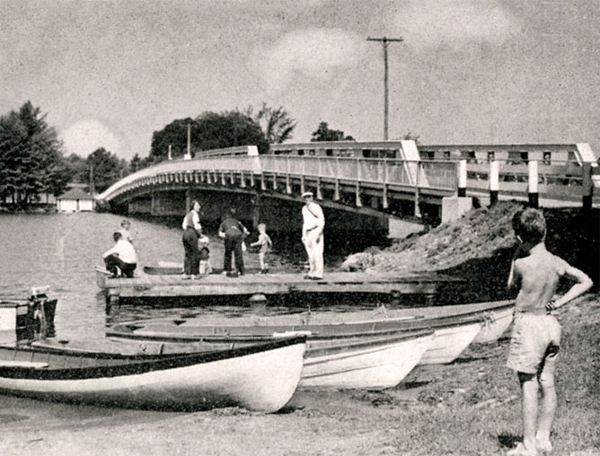
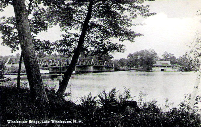
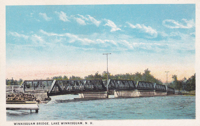
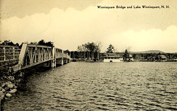
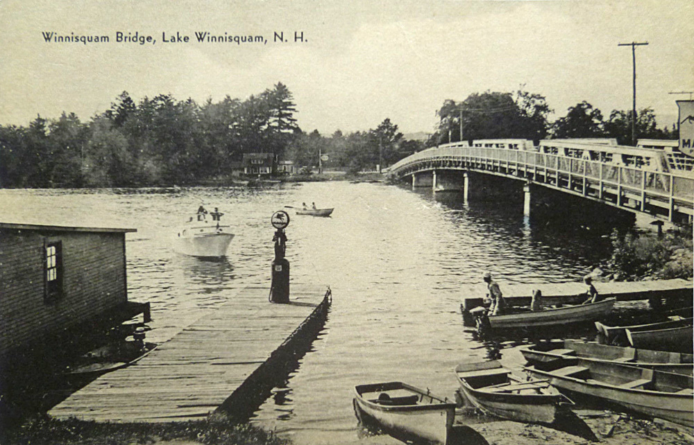
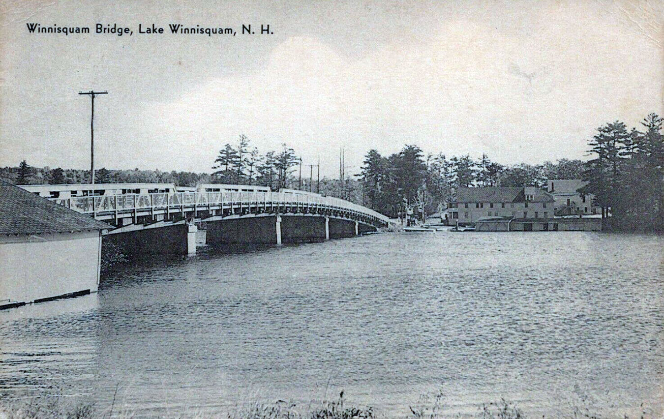
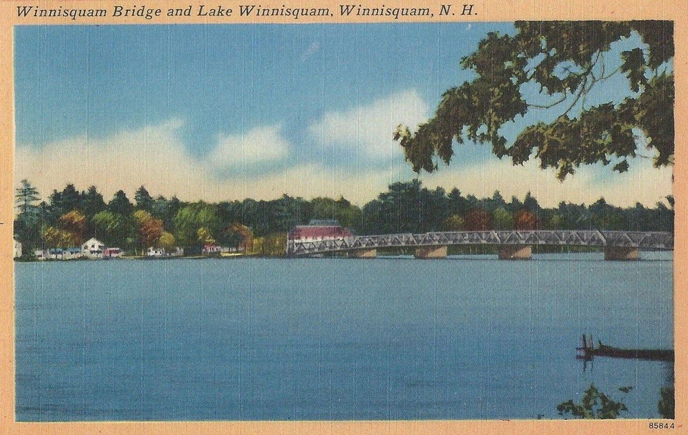
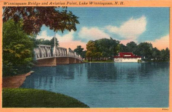
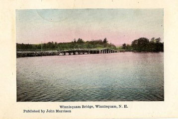
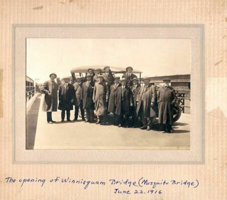
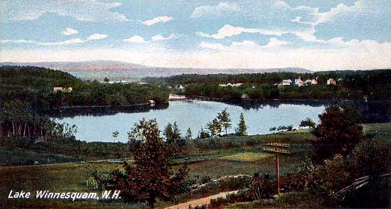
An old tinted postcard of the second Winnisquam bridge. This bridge was built in 1916 and lasted almost 60 years before replacement in 1974. The third, 1974 bridge was built just north of the 1916 bridge, which was then removed. The 1974 bridge is 408′ long and 44′ wide and cost slightly over $1 million to build.
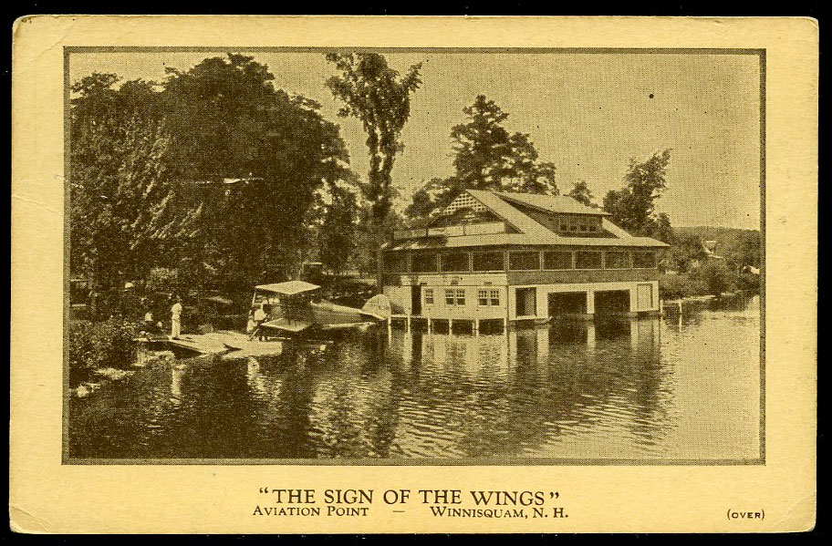
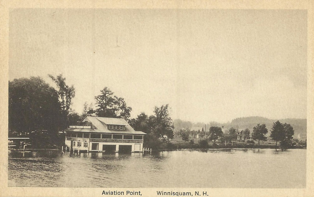
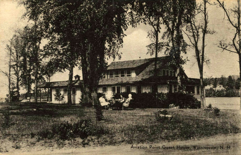
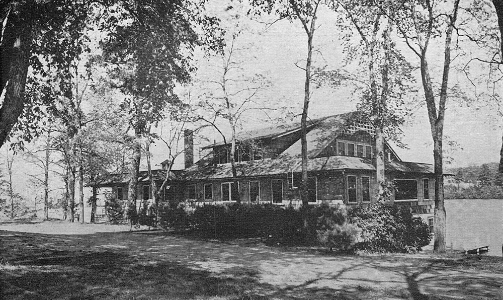
Aviation Point
At one time, seaplane rides were offered on the Sanbornton side of the bridge – hence the name, Aviation Point.
The Mosquito Bridge
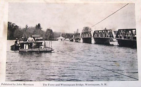
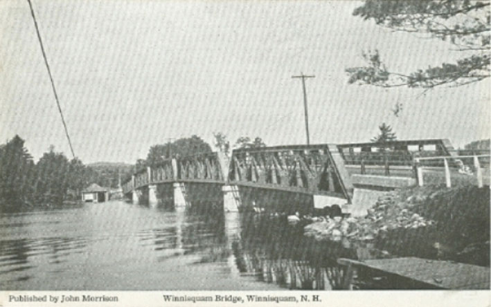
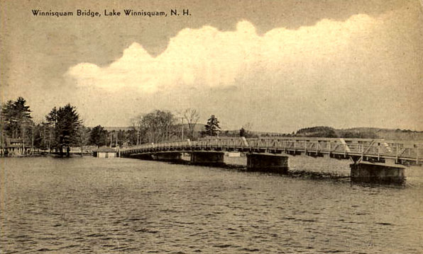
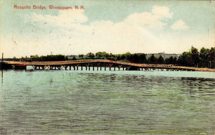
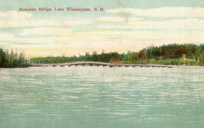
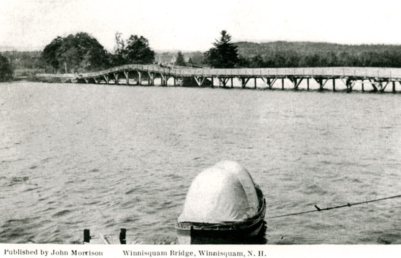
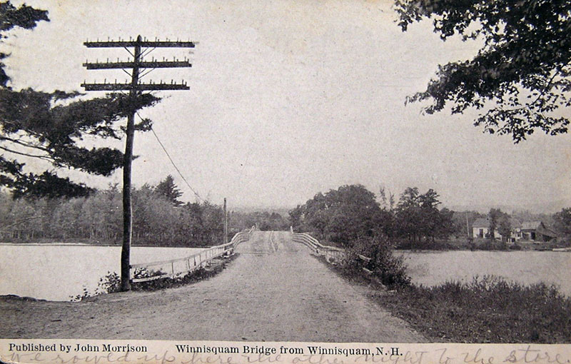
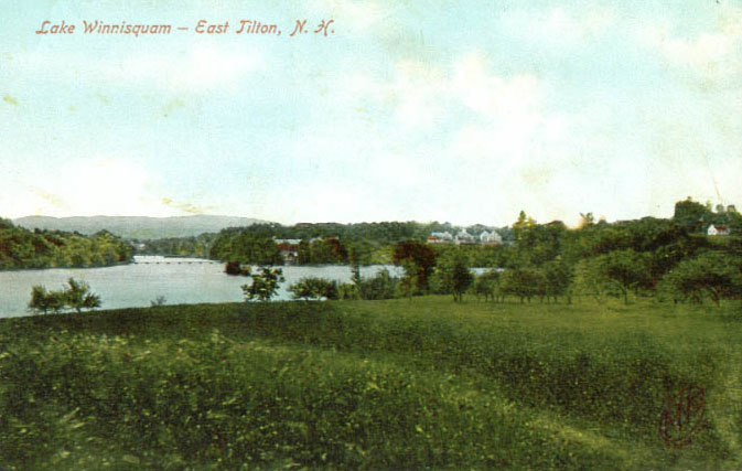
Here’s a very old postcard of the original bridge, when it was still a wooden structure, and more commonly known as the Mosquito Bridge! The bridge was named Mosquito not because the area was mosquito infested, but because the hump in the middle resembled the back of a mosquito. This bridge was built between 1840 and 1844 and lasted a little over 70 years before it suddenly collapsed in December, 1915. It was quickly replaced in 1916. This view is looking east towards Belmont from the Tilton side of the bridge. To correct the caption on the postcard, the bridge is located “near”, not in, Laconia.
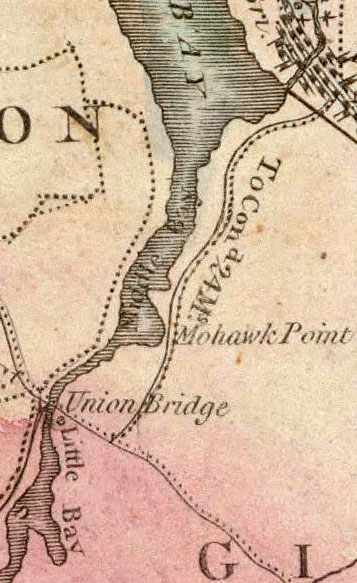
Old Maps of Lake Winnisquam
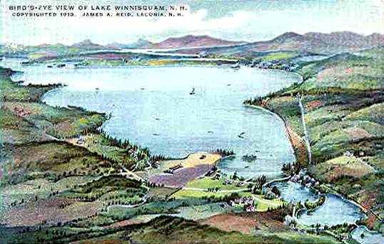
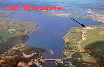
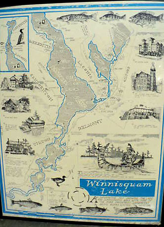
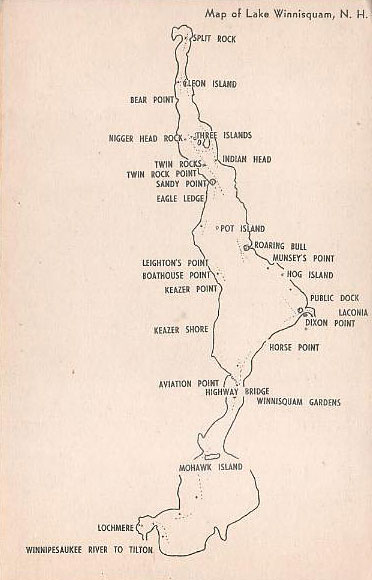
Here are a couple of old maps of Lake Winnisquam.The first map is very large, about 5′ square. To see the first map in detail, click here. The second map is very small, as it fits on a postcard.
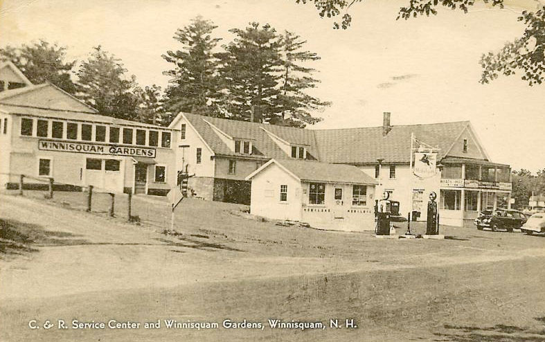
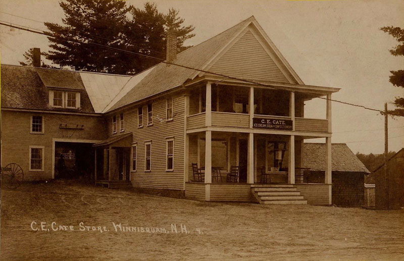
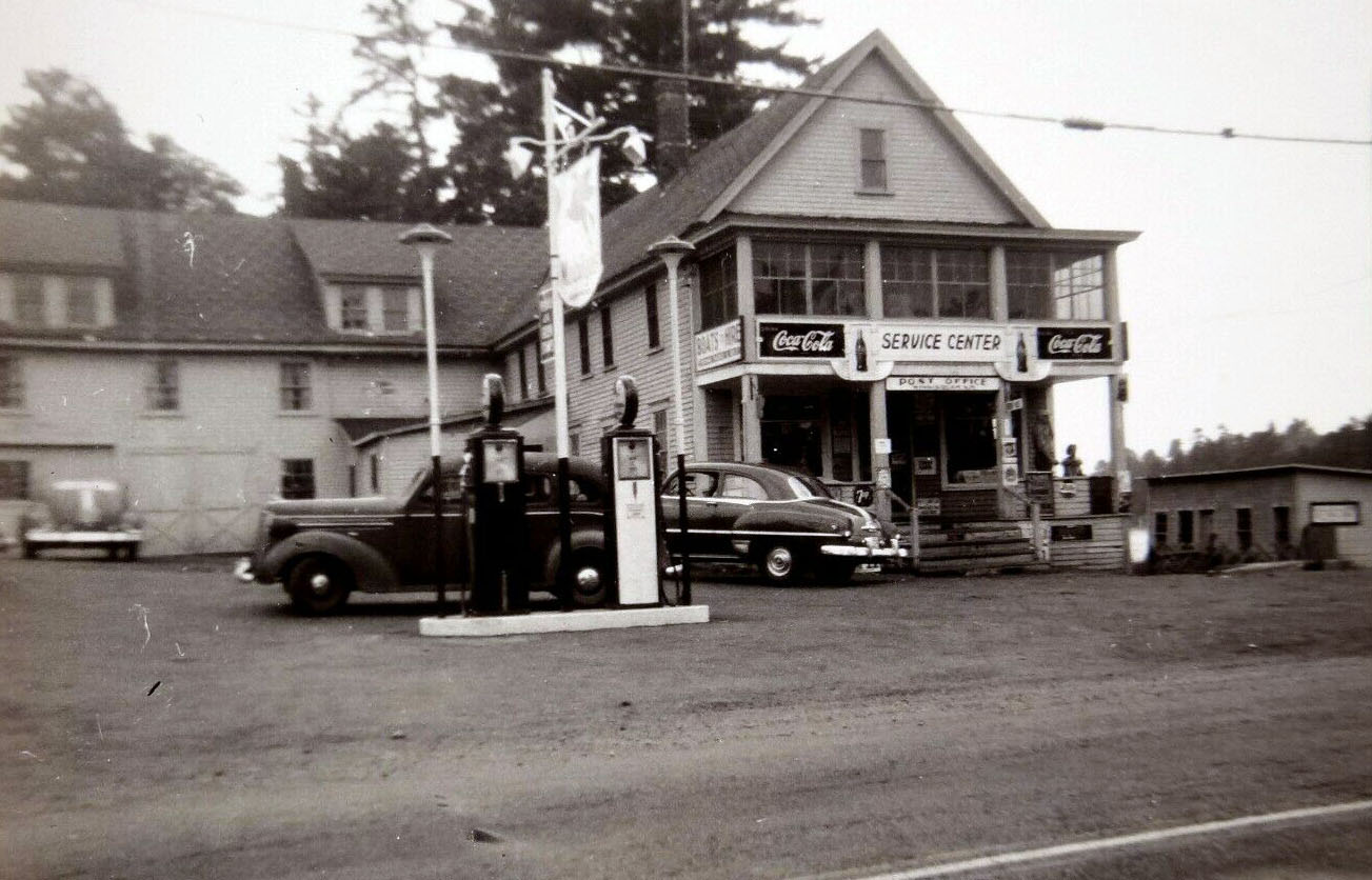
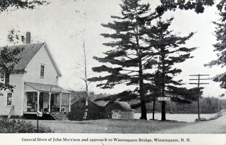
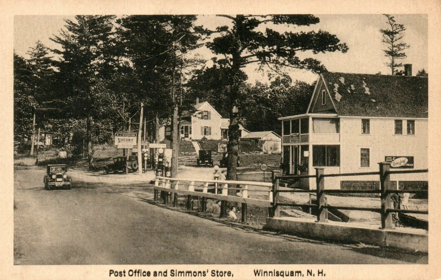
The Stores
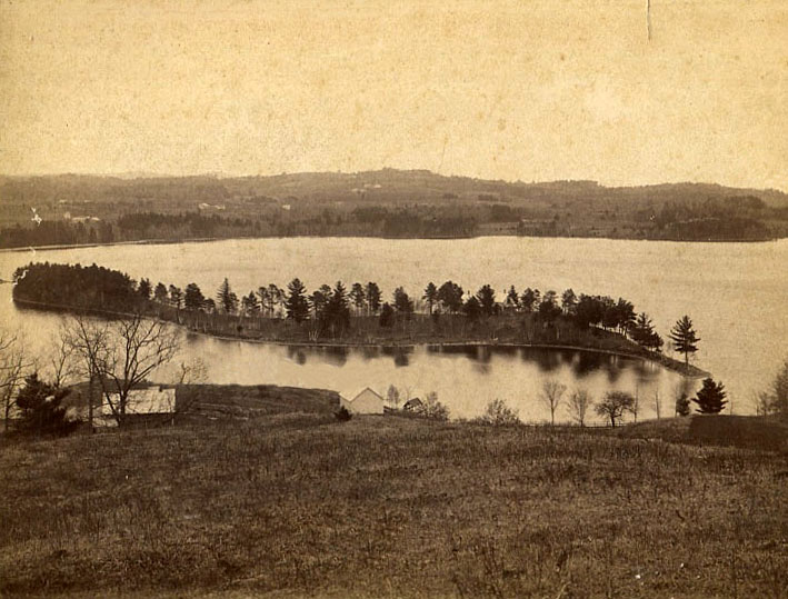
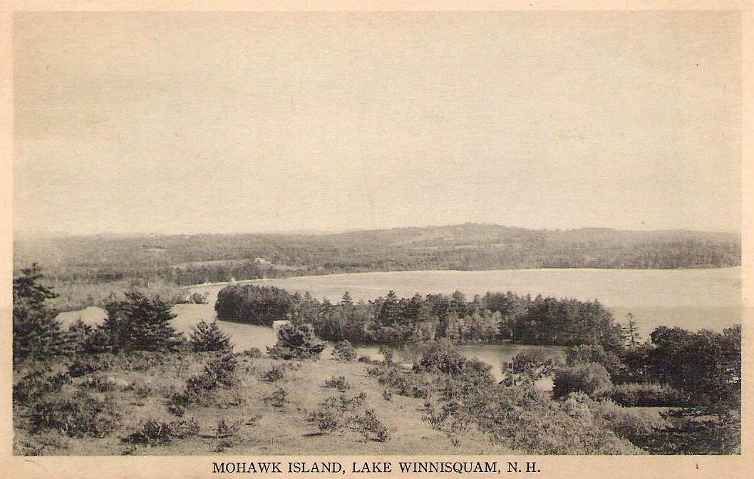
Mohawk Island
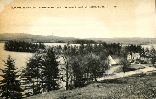
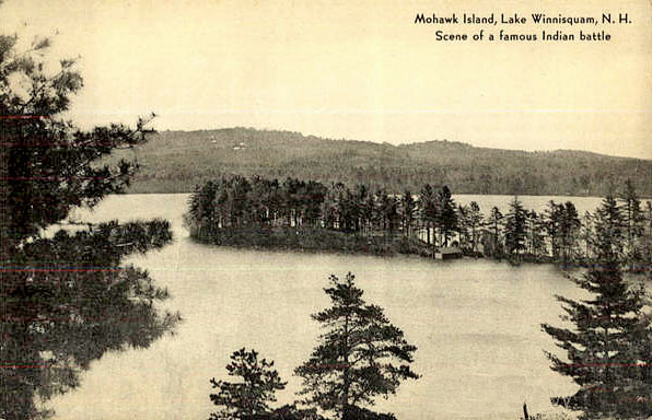
The postcards note that this was the “Scene of a famous Indian battle.” In 1685 an alliance was made between the Pennacook and the Pequaket to defend themselves against the Mohawk, but the Mohawks prevailed in one famous battle, according to the following account: “Tradition informs us that a large body of Indians belonging to or inhabiting this region were once surprised and driven upon a point of land in the Great Bay upon the Gilmanton shore, where they were overpowered by a superior force, and cut to pieces.” (Belmont was part of Gilmanton at this time.) The account continues, ” The victorious Indians in this case were the Mohawks and it is said that they used stratagem to decoy the Pequawkets, feigning a retreat down the bay in their canoes…”. When the Pequawkets pursued their enemies, they were “ambushed under the banks of the point.”
Aerial & Shoreline Views
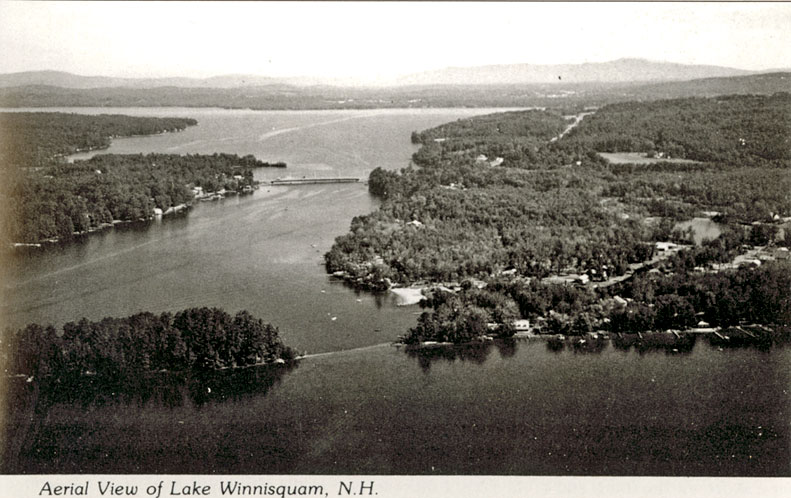
Aerial views of Lake Winnisquam looking north. The submerged isthmus between Mohawk Point and Mohawk Island is evident in the foreground of the photos, while the Winnisquam bridge is seen in the center of the photos.
Brochures
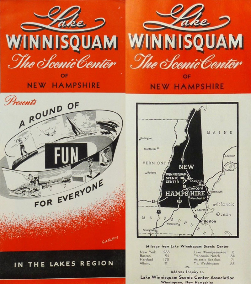
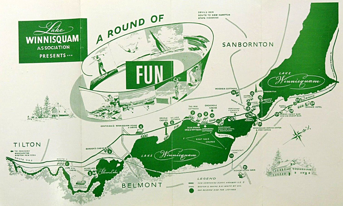
1950’s Lake Winnisquam Scenic Center Association Brochure and Map


