









Other Information Sources
NAME OF ORGANIZATION | COMMUNITIES COVERED | WEBSITE ADDRESS |
|---|---|---|
| Winnipesaukee DotCom | Alton, Center Harbor, Franklin, Gilford, Gilmanton, Laconia, Meredith, WEIRS BEACH, and Wolfeboro | winnipesaukee.com |
| Lake Winnipesaukee Alliance | Towns surrounding Lake Winnipesaukee | winnipesaukee.org |
| Winnipesaukee Gateway | All towns in the Lake Winnipesaukee watershed | winnipesaukegateway.org Click on the map to enlarge it  |
| Winnisquam Watershed Alliance | All towns in the Lake Winnisquam watershed | winnisquamwatershed.org |
| Silver Lake Association | Belmont and Tilton | silverlakenh.org |
| NH Lakes | All lakefront towns in NH | nhlakes.org |
| Lakes Region Planning Commission | Alexandria, Alton, Andover, Ashland, Barnstead, Belmont, Bridgewater, Bristol, Center Harbor, Danbury, Effingham, Franklin, Freedom, Gilford, Gilmanton, Hebron, Hill, Holderness, Laconia (includes WEIRS BEACH), Meredith, Moultonborough, New Hampton, Northfield, Ossipee, Sanbornton, Sandwich, Tamworth, Tilton, Tuftonboro, and Wolfeboro | lakesrpc.org Click on the map to enlarge it  |
| Belknap County | Alton, Barnstead, Belmont, Center Harbor, Gilford, Gilmanton, Laconia (includes WEIRS BEACH), Meredith, New Hampton, Sanbornton, and Tilton. | belknapcounty.gov |
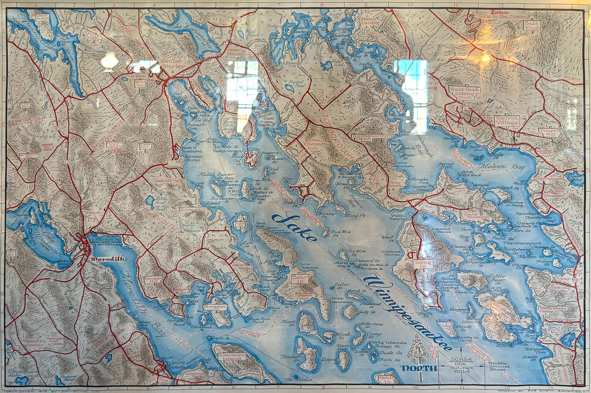
1976 tourist map of Lake Winnipesaukee “North”, drawn by Bob Dustin, and published by Art-Style Inc. in Meredith. There were also “South” and “East” versions of the Lake Winnipesaukee map. On the back side of each map were advertisments and drawings of local businesses.
The North version can be seen at the Old Country Store in Moultonboro. The webmaster owns a copy of the South version of the map. The East version is in the collection of the NH Historical Society. It is unknown if there was ever a “West” version produced.
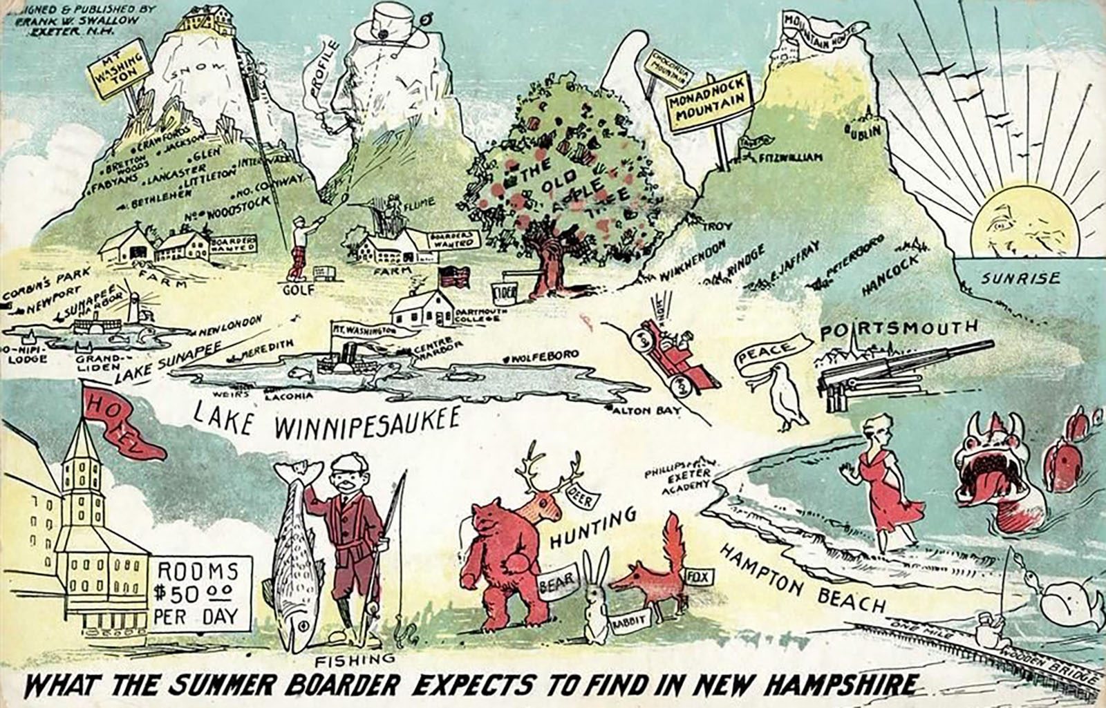
“What the Summer Boarder Expects to Find in New Hampshire”. Humorous postcard of NH from the 1920s.
A group of friends watching a rainbow fade over Weirs Bay.
