


Pinnacle Hill on Meredith Neck
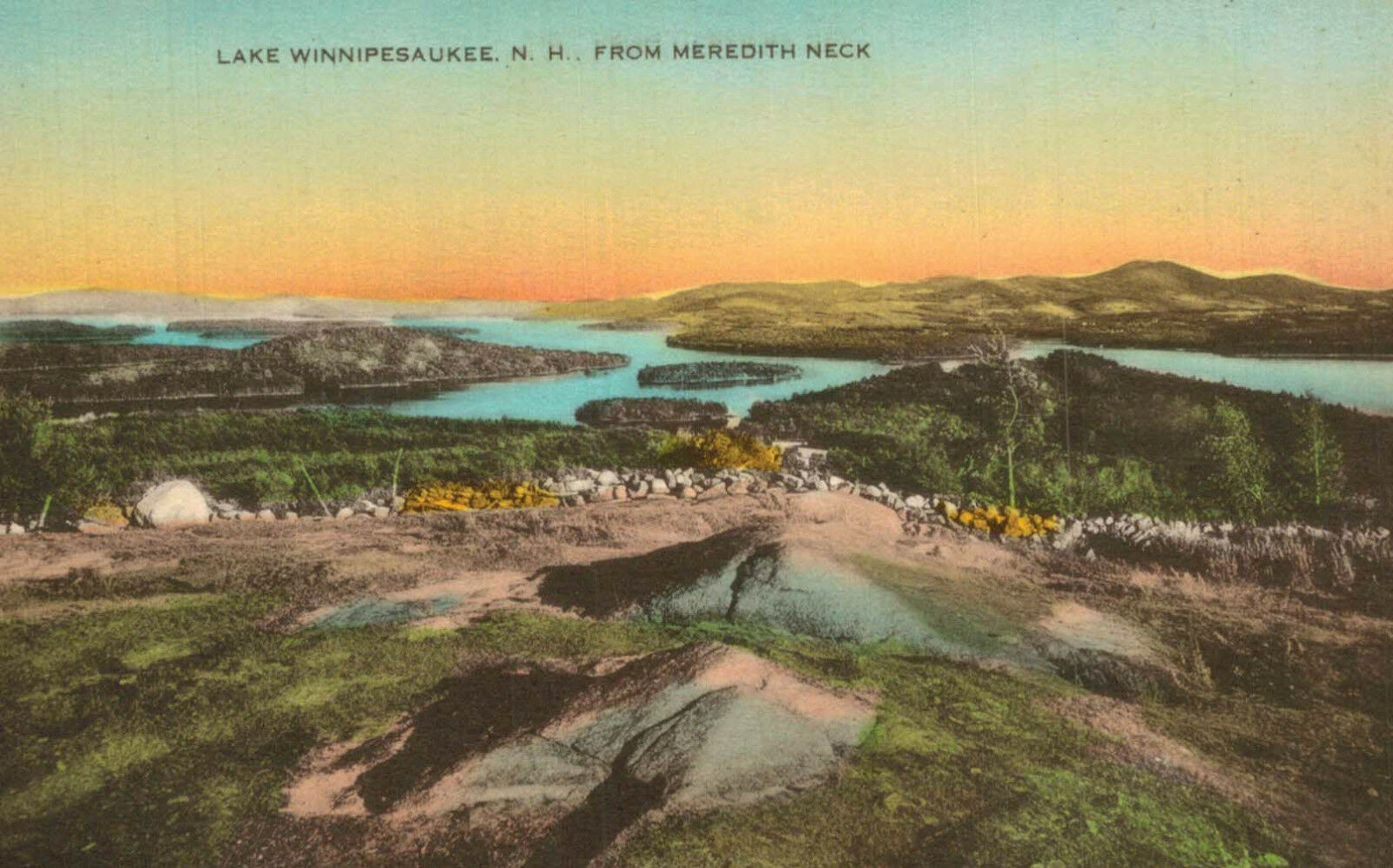
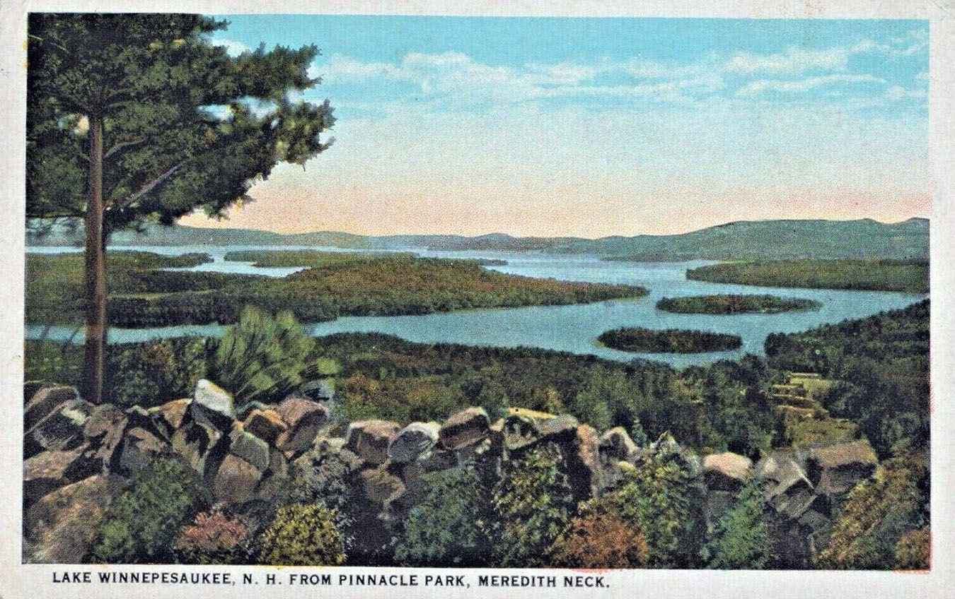
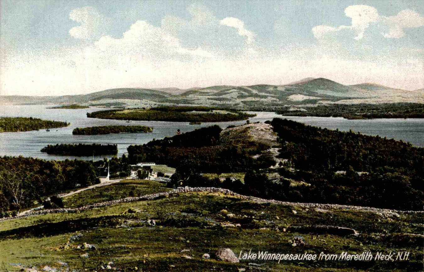
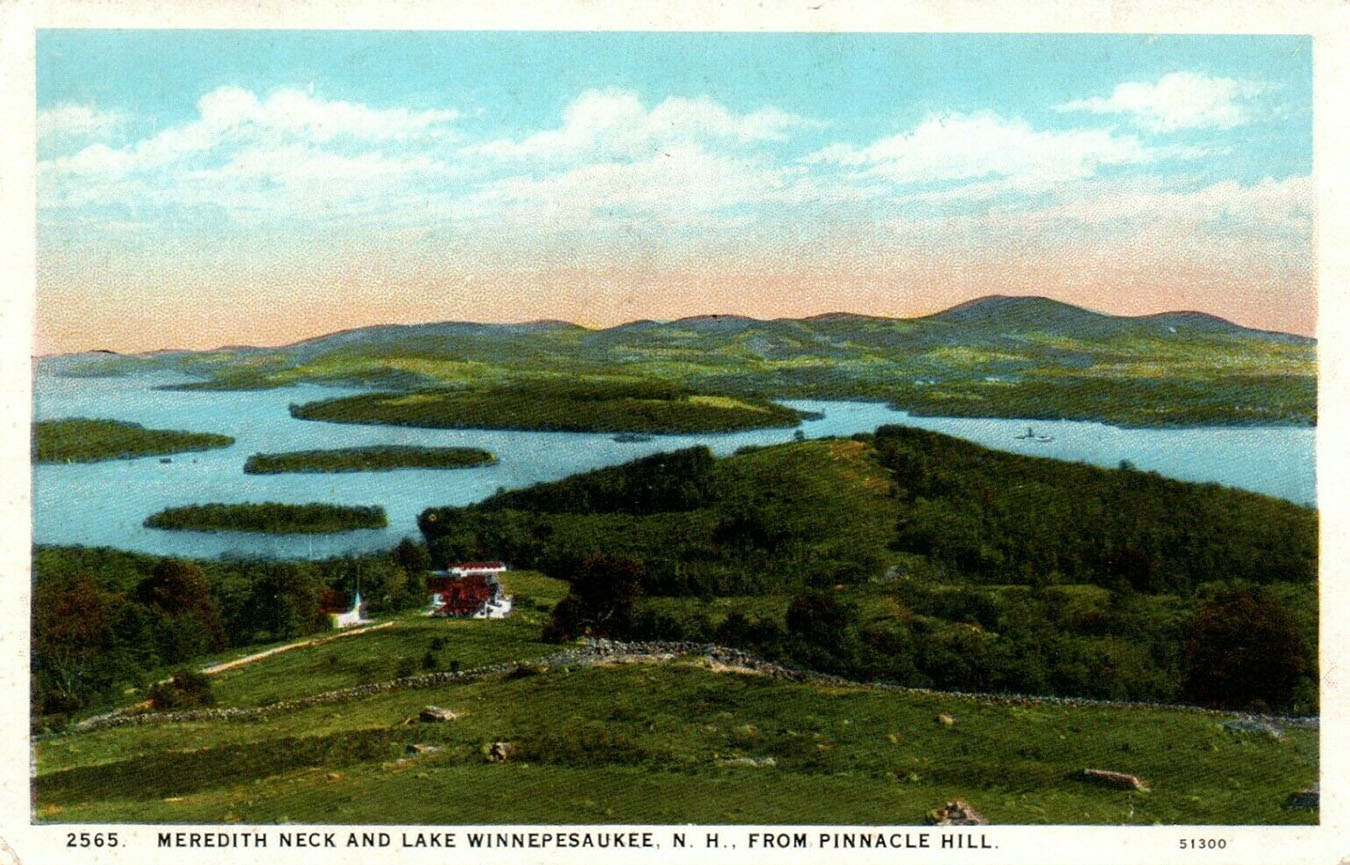
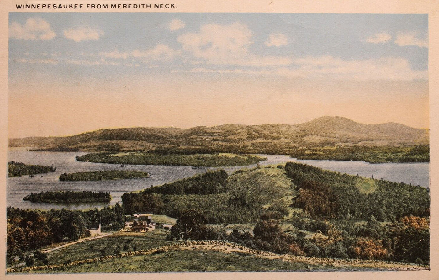
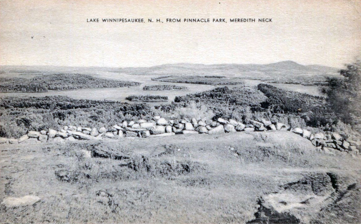
Views from Pinnacle Hill, Meredith Neck, from long ago. The islands viewed in the center of the photo, from closest to furthest, are Oak, then Pitchwood, then Governors. Stonedam Island is the hilly island to the left. Stonedam Island was named “Koabegosenmek” by the local Native American tribe of Abenakis, meaning “pine pitch rock place”. Most of the island is now protected by the Lakes Region Conservation Trust, and it sports several walking trails. The first three postcards are identical photos, but with different colorization schemes.

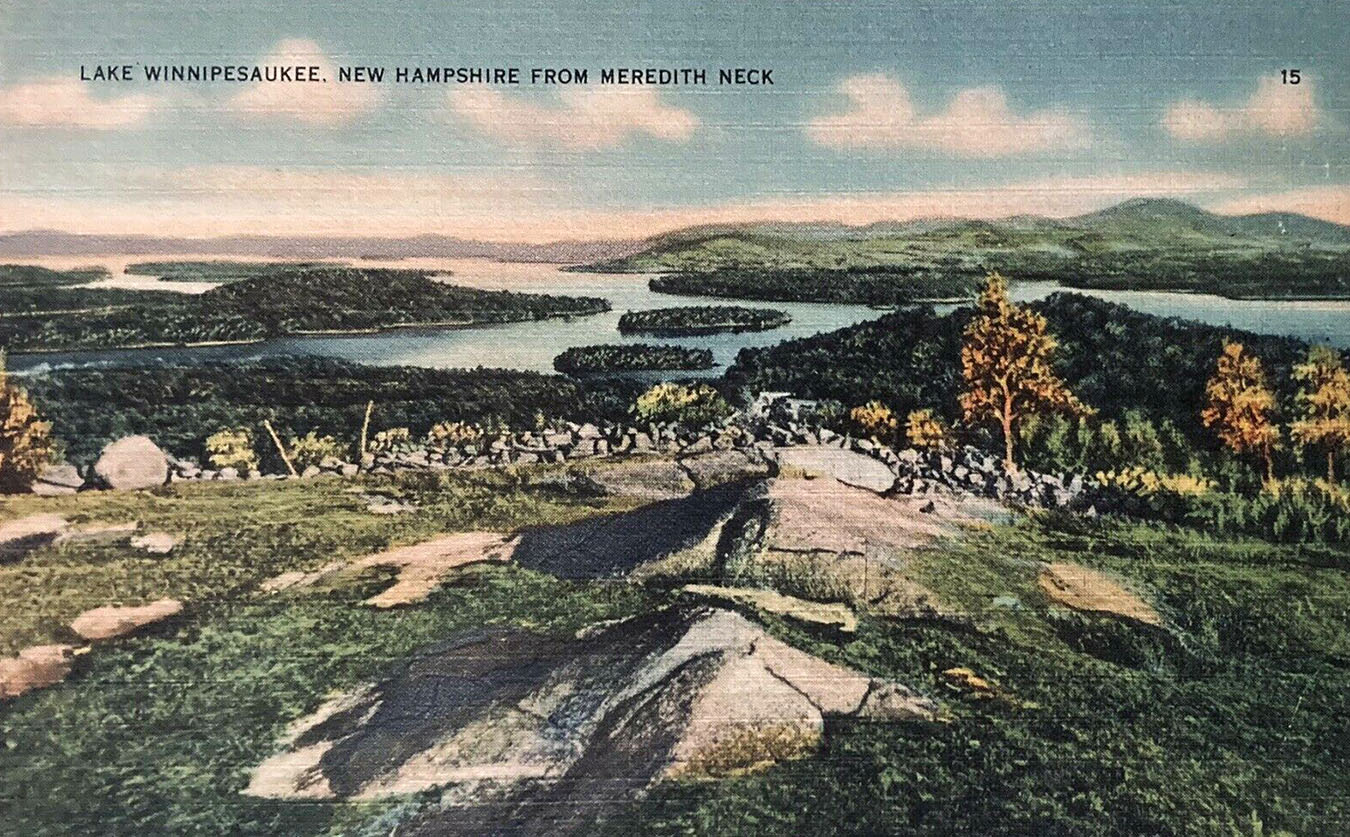

Oak Island is missing in the colorized postcard above.
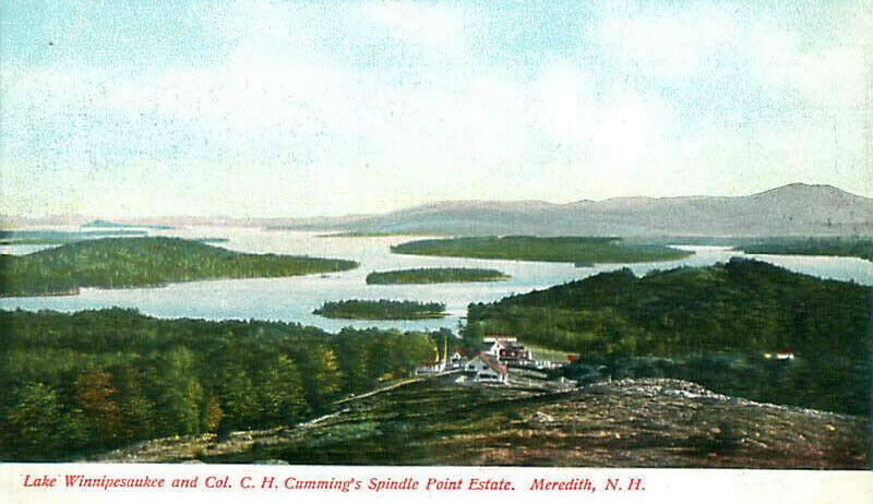
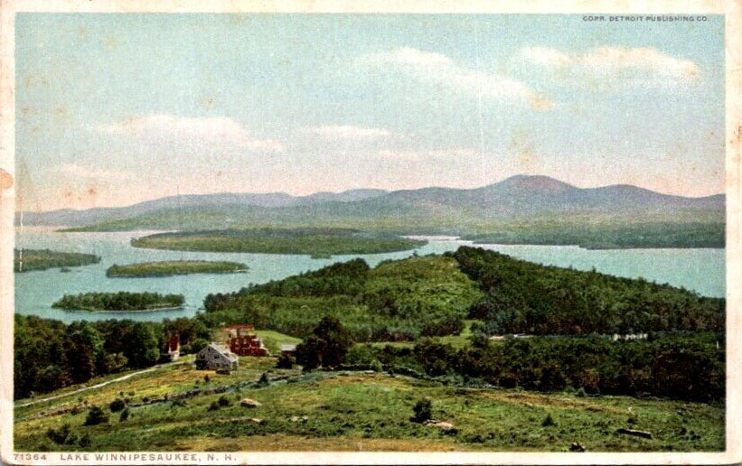

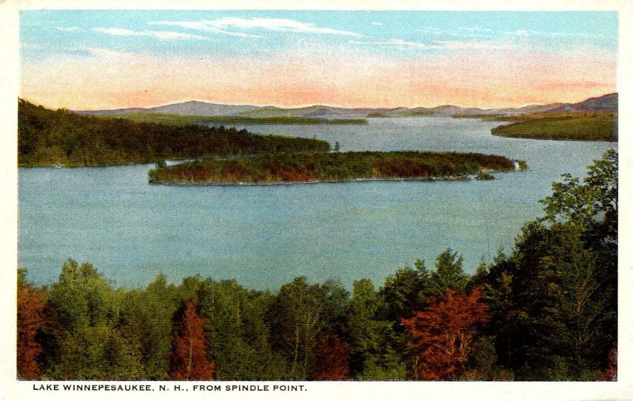
A different viewpoint from Meredith Neck. This is a view looking at Cummings Cove. Pitchwood is the round island in the middle of the picture. Weirs Beach would be off to the far right, past Spindle Point.


Above, a real photo postcard of Meredith Bay and Lake Waukewan, postmarked in 1941. Note the cows in the foreground.